BajaNomad

Six photos somewhere in Central Baja! But where?

David K - 4-30-2018 at 03:01 PM

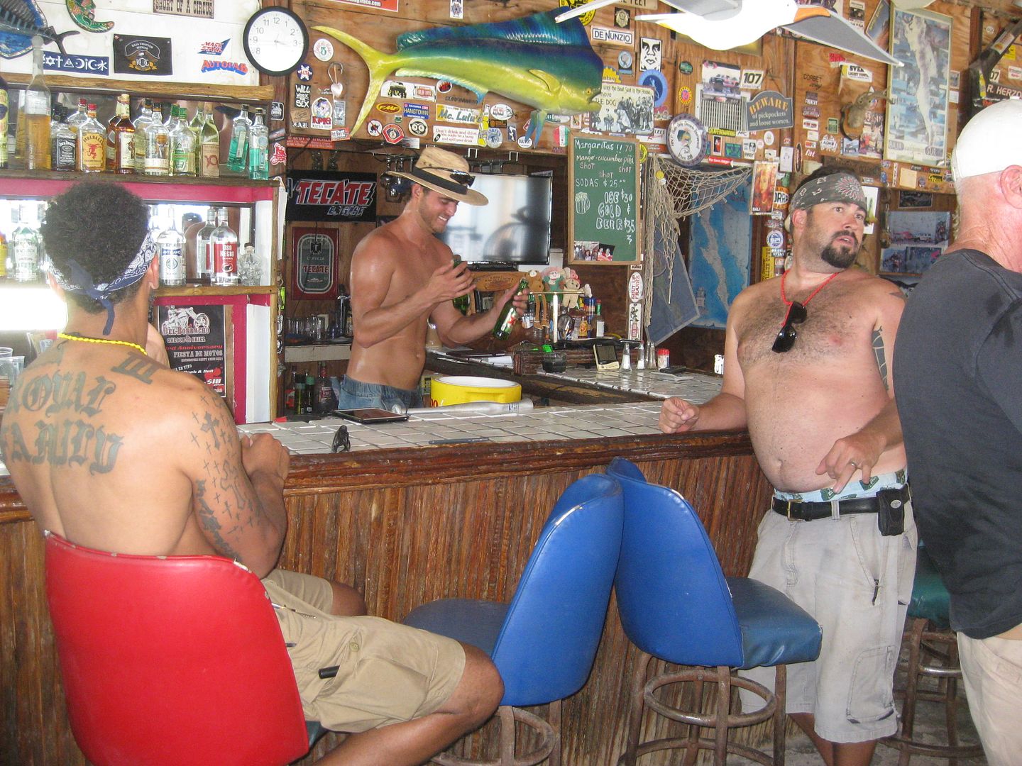
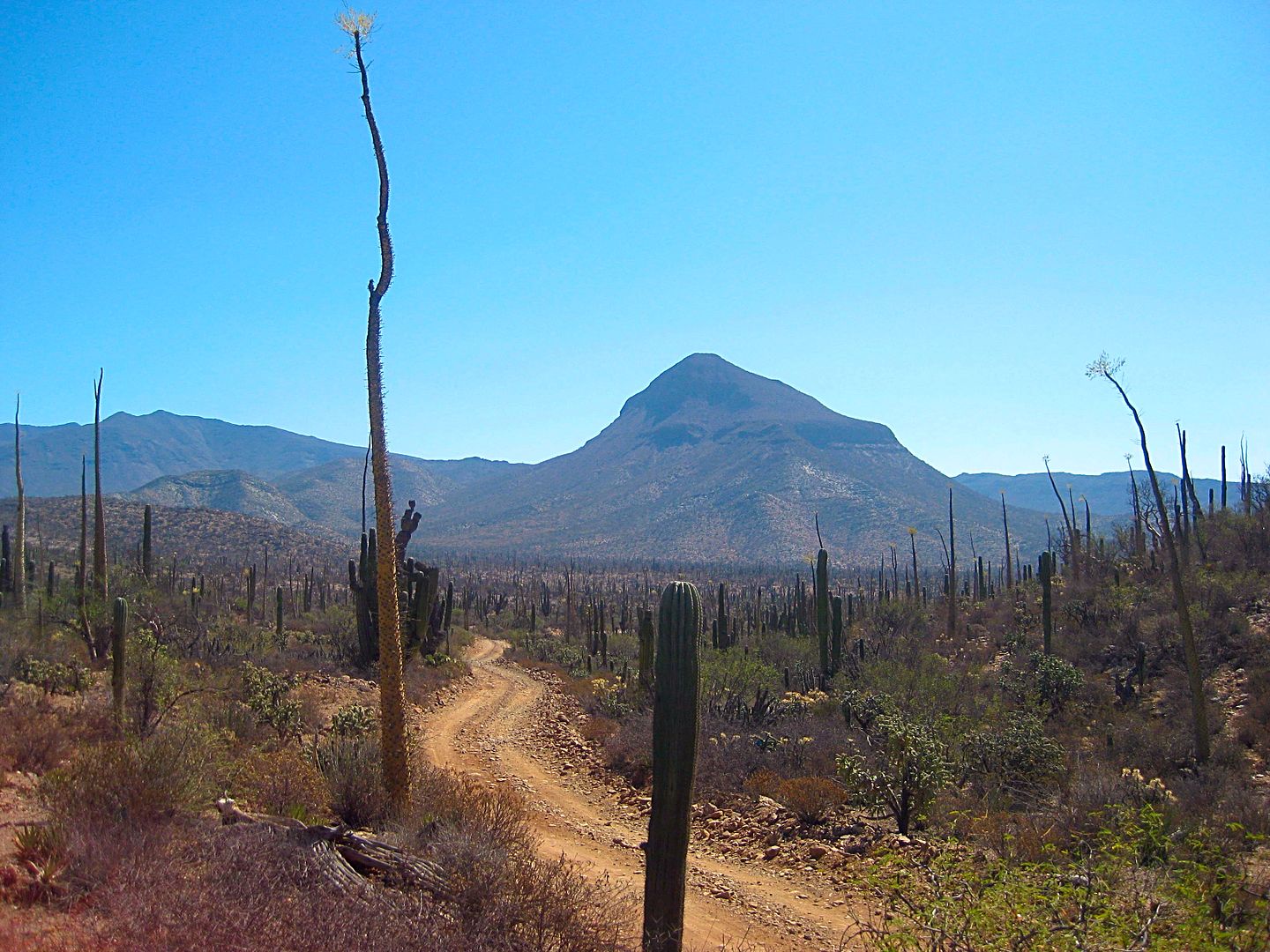
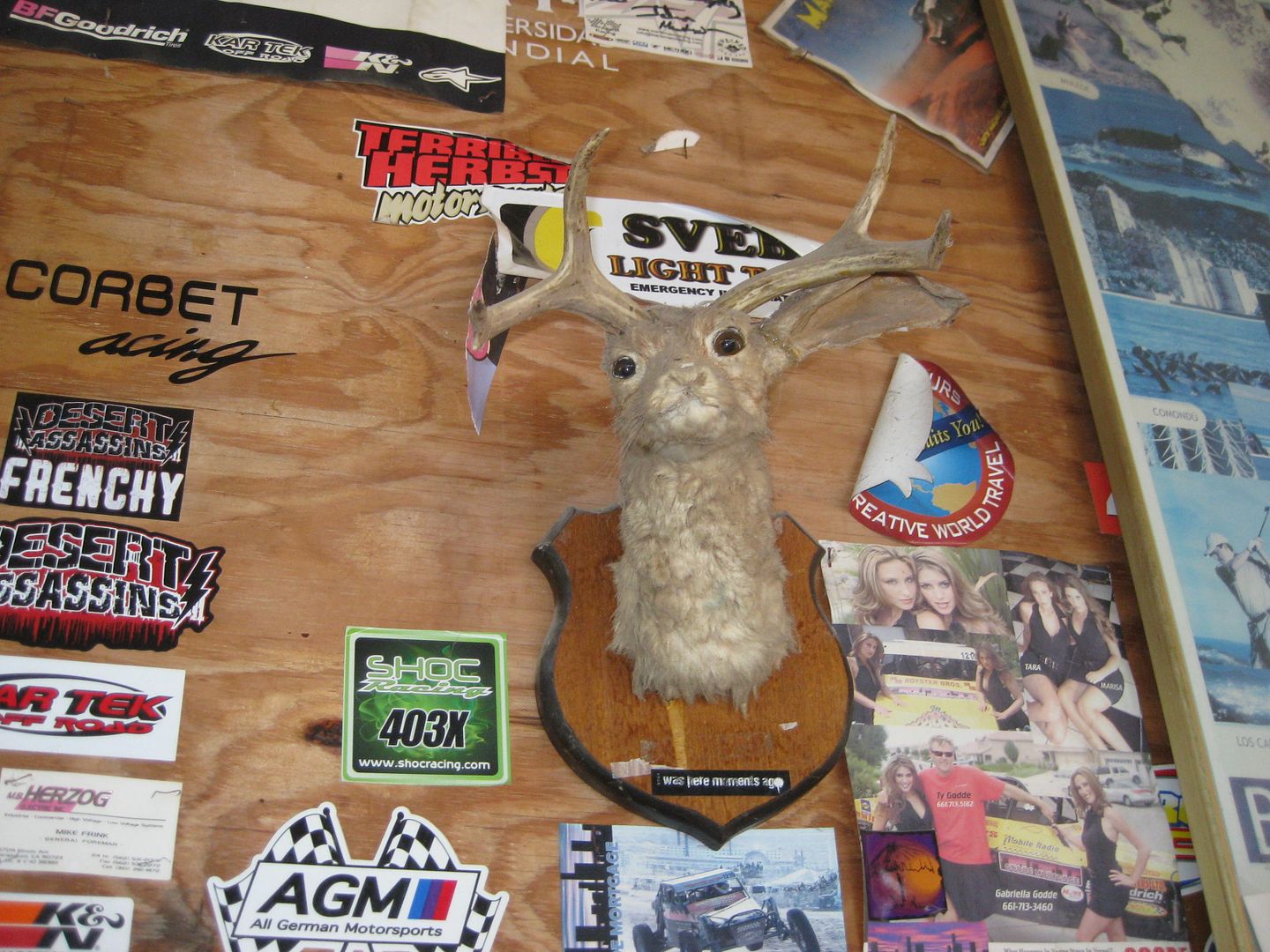
#1) Answered by Mexitron: The road north of San Borja and Volcán Santa Evita.

Shall we do a 'where is this' game?

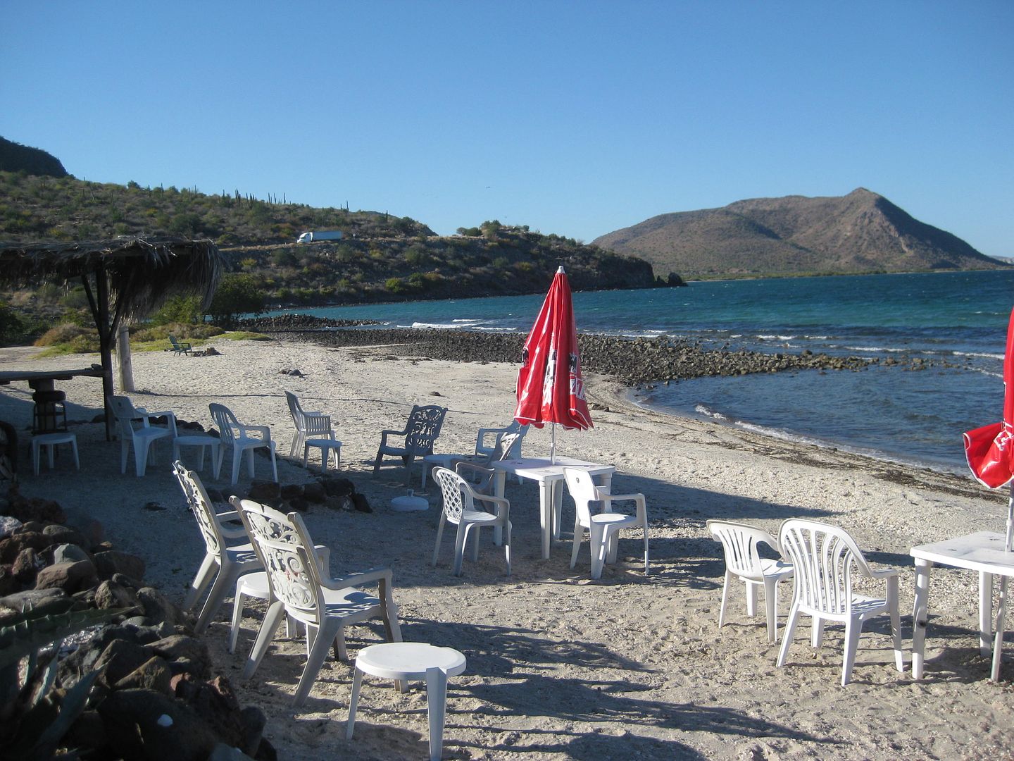
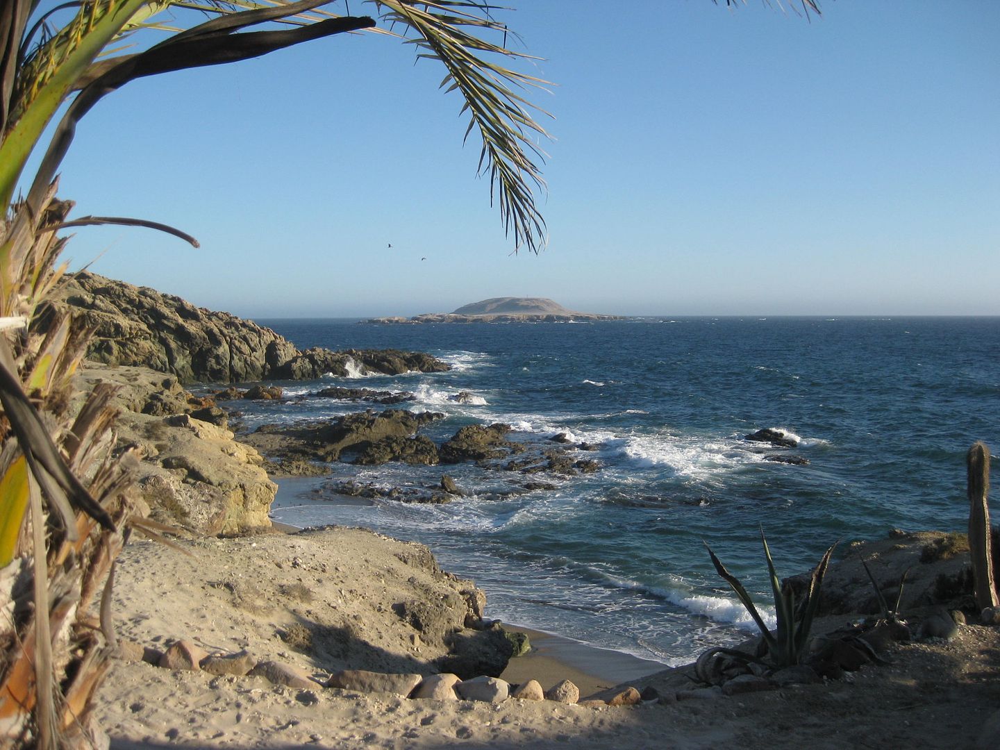
#2) Answered by Rossman: Juan y Shari's La Bufadora Inn, Bahía Asunción.


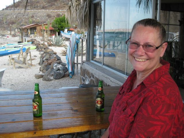
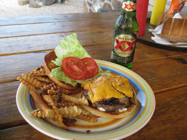
#3) Named by cavilan: Mark & Olivia's Playa Buenaventura, Bahía Concepción.


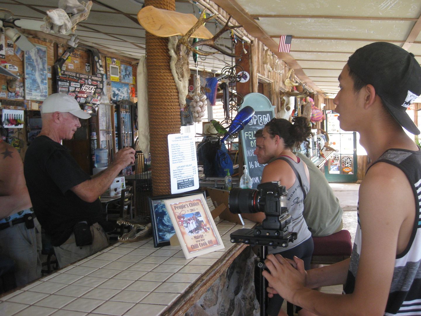
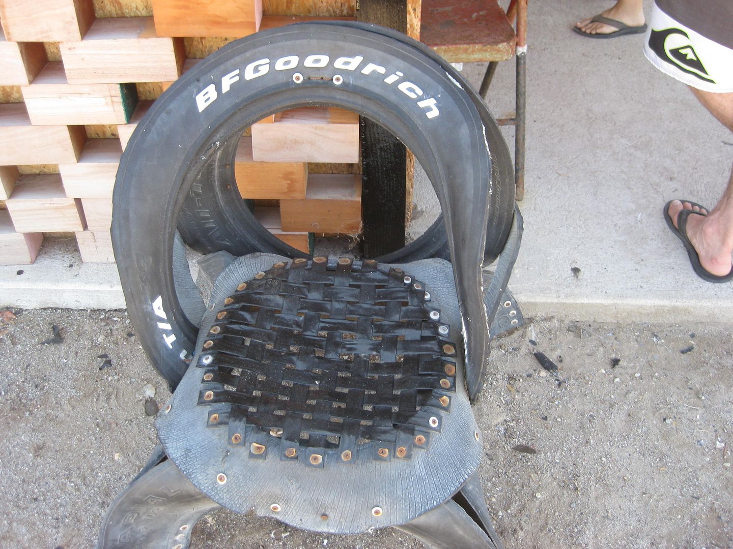
#4) Answered by Sherdoggie: Pancho's at Bahía San Rafael.


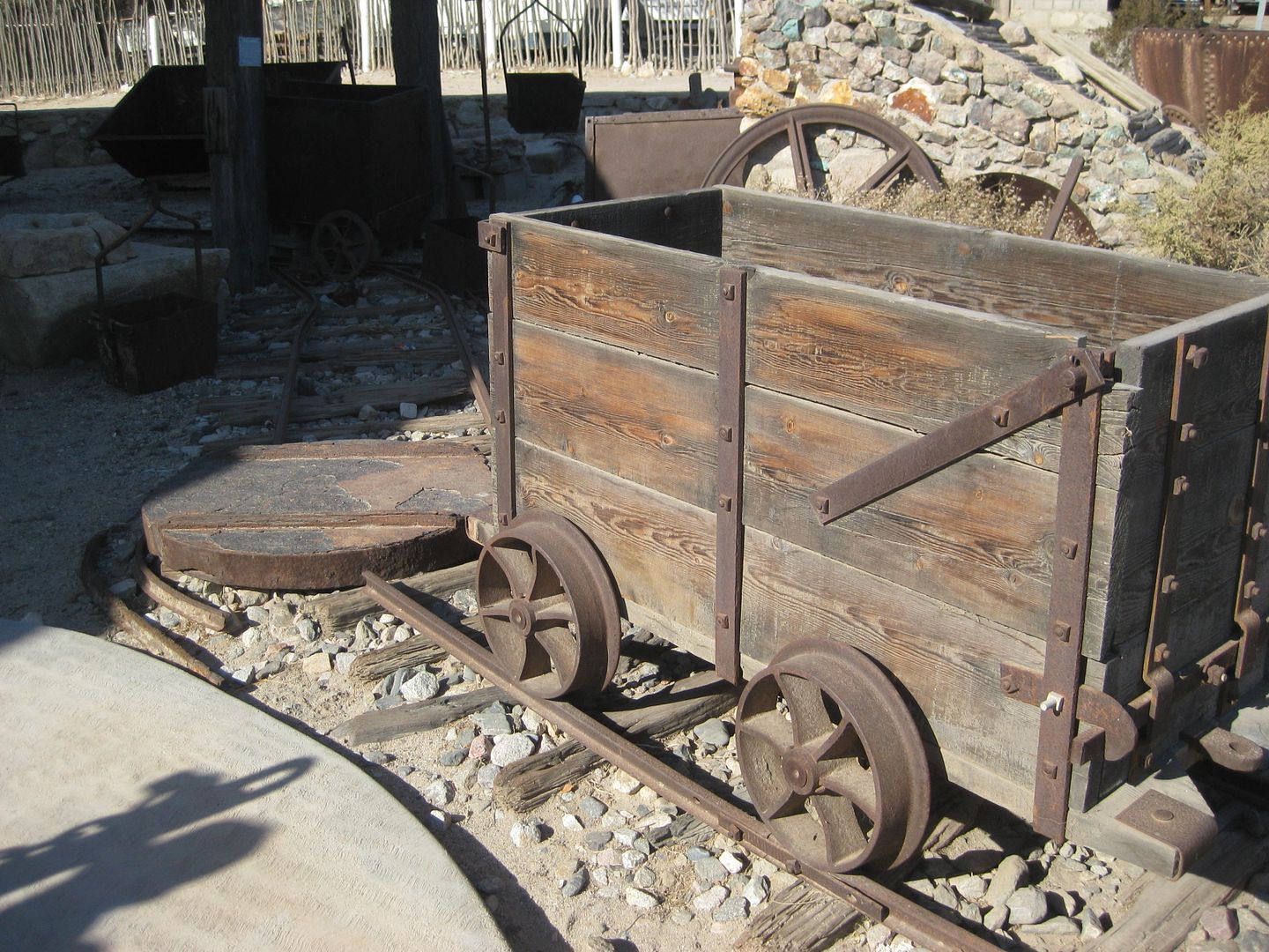
#5) TMW & OCEANUS answered: Museum at Bahía de los Angeles


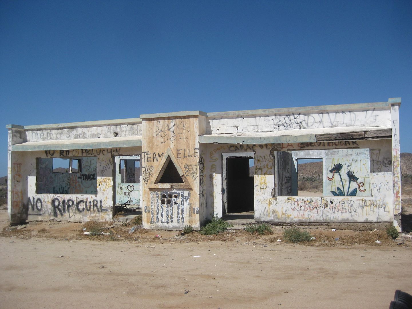
#6) Answered by Rossman: La Bachata, south of Punta Prieta/ north of Santa Rosalillita jcn.


Thank you, Nomads, for playing!


[Edited on 5-2-2018 by David K]

TMW - 4-30-2018 at 03:06 PM

The picture with the deer (3) is at San Francisquito.
The ore car (5) is at LA Bay.
The BLDG (6) is near the coast at Camalu.

TMW - 4-30-2018 at 03:08 PM

#2 is at Bahia Tortugas.

TMW - 4-30-2018 at 03:11 PM

#1 is the road from Hwy 1 at KM252 going west, south of Chapala.

Rossman - 4-30-2018 at 03:28 PM

1 Along the dreaded 23 mile stretch on Mex 5

2. Casa Shari

3. Cocos

4.No clue

5. Guessing El Arco.

6.Mex 1 between Punta Prieta and Rosarito. I believe north of the Rosaliita cutoff.

David K - 4-30-2018 at 03:36 PM

Quote: Originally posted by Rossman  
1 Along the dreaded 23 mile stretch on Mex 5

2. Casa Shari

3. Cocos

4.No clue

5. Guessing El Arco.

6.Mex 1 between Punta Prieta and Rosarito. I believe north of the Rosaliita cutoff.


Thank you for playing. You have two correct!!!

#2 CORRECT: La Bufadora Inn, Bahía Asunción, Shari's morning view!
#6 CORRECT: La Bachata ruins, south of Punta Prieta just before the steep grade up. That triangle window is quite unusual.

[Edited on 4-30-2018 by David K]

David K - 4-30-2018 at 03:38 PM

Quote: Originally posted by TMW  
The picture with the deer (3) is at San Francisquito.
The ore car (5) is at LA Bay.
The BLDG (6) is near the coast at Camalu.


You are correct with #5... but can you be more specific as to where in L.A. Bay?

Quote: Originally posted by TMW  
#1 is the road from Hwy 1 at KM252 going west, south of Chapala.


Quote: Originally posted by TMW  
#2 is at Bahia Tortugas.


Your guesses for #1 and #2 are not correct. See Rossman's answers.

Great guesses Tom!


[Edited on 4-30-2018 by David K]

Udo - 4-30-2018 at 04:06 PM

#2, I know that view from Shari & Juan's beach.

David K - 4-30-2018 at 04:07 PM

Quote: Originally posted by Udo  
#2, I know that view from Shari & Juan's beach.


Yes, however, Rossman beat you to it! Try some of the others unanswered (3).

[Edited on 4-30-2018 by David K]

bajabuddha - 4-30-2018 at 04:45 PM

Damnit, that is NOT a deer, it's either an American Antelabbit or a desert Jackalope; get yer facts straight, people!

The difference is, an Antelabbit is a cross between a male jackrabbit and a female antelope..... but somebody's got to put him up to it. The Jackalope is a cross between a female antelope and a male jack, but ..... he's gotta stoop pretty low for that.

David K - 4-30-2018 at 04:53 PM

Quote: Originally posted by bajabuddha  
Damnit, that is NOT a deer, it's either an American Antelabbit or a desert Jackalope; get yer facts straight, people!

The difference is, an Antelabbit is a cross between a male jackrabbit and a female antelope..... but somebody's got to put him up to it. The Jackalope is a cross between a female antelope and a male jack, but ..... he's gotta stoop pretty low for that.


LOL, I know you know where it is, so thanks for letting others play!

Still waiting on #1, #3, and #4.
Also, a more exact for the L.A. Bay location that TW provided.


[Edited on 5-1-2018 by David K]

OCEANUS - 4-30-2018 at 07:09 PM

More exact #5 - Ore cart in front of the Museum in LA Bay

#3 - Mama Espinosas or the restaurant next to the Pemex in Santo Tomas?

#1 - Along the new Mex 5 road (Cocos corner diversion route)?

advrider - 4-30-2018 at 07:13 PM

#4 comes with an awesome view and cold beer!

David K - 4-30-2018 at 07:37 PM

Quote: Originally posted by OCEANUS  
More exact #5 - Ore cart in front of the Museum in LA Bay

#3 - Mama Espinosas or the restaurant next to the Pemex in Santo Tomas?

#1 - Along the new Mex 5 road (Cocos corner diversion route)?


Correct on #5, adding more to TMW's earlier answer.

#1 is not along any part of Hwy. 5.

#3 is not in El Rosario or El Palomar in Santo Tomás, but good guesses.

David K - 4-30-2018 at 07:39 PM

Quote: Originally posted by advrider  
#4 comes with an awesome view and cold beer!


Yes, and lots of hospitality, in my opinion.

kevin_in_idaho - 4-30-2018 at 07:42 PM

Quote: Originally posted by TMW  
The picture with the deer (3) is at San Francisquito.
The ore car (5) is at LA Bay.
The BLDG (6) is near the coast at Camalu.


A deer? That's a jackalope! Come on!!!!! :-)

David K - 4-30-2018 at 07:46 PM

Take it easy on Tom... they don't see many jackalopes in Bakersfield! :light:

AKgringo - 4-30-2018 at 08:36 PM

Quote: Originally posted by David K  
Take it easy on Tom... they don't see many jackalopes in Bakersfield! :light:


The antlers make it Bambi's love child. An antelope hybrid would have horns!

Now back to the geography quiz. The only one I recognized was the view of the bay and sea lion island from La Bufadora.

sherdoggie - 4-30-2018 at 09:13 PM

Hello. New member here.
#3-Cowpatty near Purtecitos
#4-Pancho's place in San Rafael

David K - 4-30-2018 at 09:21 PM

Quote: Originally posted by sherdoggie  
Hello. New member here.
#3-Cowpatty near Purtecitos
#4-Pancho's place in San Rafael


Welcome aboard!!!
I look forward to reading your trip reports!

You are correct about #4 being Pancho's at Bahía San Rafael.

#3 is not along Hwy. 5 or even close... but great guess.
A hint: it is indeed a location that serves alcohol.
---------------------------------------------------------------------------------------------
#1 hint: That is a volcano in the distance and a mission is nearby!

[Edited on 5-1-2018 by David K]

BajaBlanca - 5-1-2018 at 07:31 AM

#4 Rice and Beans?

bajabuddha - 5-1-2018 at 07:56 AM

Here's a hint on #3.... think of a hair-lipped dawg. "MARK! MARK!" :cool:

AKgringo - 5-1-2018 at 08:18 AM

#4....Poncho's chair? I was just there a month ago, and didn't notice it! I wonder what else I have been missing?

I did not notice the horned critter either, but Buddha's hint makes me think it was at Mark and Olivia's restaurant, which I will defer naming to someone who has actually seen it. I must look around more!

[Edited on 5-1-2018 by AKgringo]

David K - 5-1-2018 at 09:11 AM

Quote: Originally posted by BajaBlanca  
#4 Rice and Beans?


#4 was already answered earlier by sherdoggie (Pancho's at Bahía San Rafael).

Thank you for playing!

#1 still awaits an answer!

#3

David K - 5-1-2018 at 09:32 AM

Some great guesses for #3, the jackalope head and other decorations do seem to indicate a tourist bar.

We have had guesses of (Punta) San Francisquito, Coco's Corner, El Palomar in Santo Tomás, Mama Espinoza's in El Rosario, and Cowpatty's near Puertecitos.

Big hints have been provided by bajabuddah and solved, short of the name, by AKgringo!

More photos at location #3:
2016


2016


2017


2012


Got it yet?


Photo #1 remains...

6photos in baja

cavilan - 5-1-2018 at 07:12 PM

Looks like Mark and Olivia’s Buenaventura. You ought to have pictures of Taco Tuesday.

Mexitron - 5-1-2018 at 08:27 PM

#1 road to San Borja?

David K - 5-2-2018 at 06:38 AM

Quote: Originally posted by cavilan  
Looks like Mark and Olivia’s Buenaventura. You ought to have pictures of Taco Tuesday.


CORRECT!

David K - 5-2-2018 at 06:41 AM

Quote: Originally posted by Mexitron  
#1 road to San Borja?


CORRECT!!!
Specifically, north of San Borja. The volcano is listed on the AAA map as Volcán Santa Evita. This is a view looking south, towards the mission.

TMW - 5-2-2018 at 10:46 AM

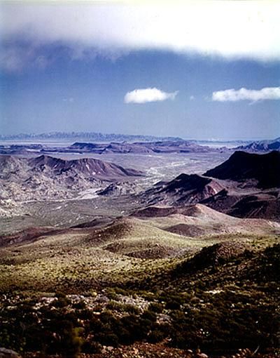
Where is this picture taken from. It's in northern Baja.
south of Hwy 2.
East of Hwy 1.
West of Hwy 5.
North of Hwy 3.


Mexitron - 5-2-2018 at 11:02 AM

Quote: Originally posted by David K  
Quote: Originally posted by Mexitron  
#1 road to San Borja?


CORRECT!!!
Specifically, north of San Borja. The volcano is listed on the AAA map as Volcán Santa Evita. This is a view looking south, towards the mission.


I think I remember it because you have drive up part of it before you drop into the mission area?

David K - 5-2-2018 at 11:11 AM

The road stays to the west of it, but you might call it the slope? I enjoy the mix of boojum trees and cardón trees in that area.

David K - 5-2-2018 at 11:21 AM

Quote: Originally posted by TMW  
Where is this picture taken from. It's in northern Baja.
south of Hwy 2.
East of Hwy 1.
West of Hwy 5.
North of Hwy 3.


A wild guess would be El Portezuelo de Jamau (Pole Line Road turned into Score race course) or perhaps another road down the Sierra Juarez slope in the region?

TMW - 5-2-2018 at 07:11 PM

Pretty good. Taken from top of the race summit by Bob Bower (BFG). Laguna Salada in the distance.

David K - 5-2-2018 at 09:26 PM

Cool! There are few such viewpoints with the dry lake in the distance... so that is why I guessed. You isolated the area as well... good hint!