BajaNomad

Watch Tecate Wait Time Increase

BajaRun - 11-25-2018 at 04:11 PM

I crossed at Tecate on Friday in 15 Minutes. Currently at 3 PM the wait time is 3 hours. It will probably increase

https://apps.cbp.gov/bwt/mobile.asp?action=n&pn=2505

PaulW - 11-25-2018 at 04:29 PM

Time wont matter much when the migrants arrive they will close that border like the ones further west.
Head for Mexicali before the migrants get there.

jgoldy - 11-25-2018 at 05:16 PM

I can't really see an incentive on the part of the migrants to walk across the desert again just to sit at another border crossing further east. I suspect this will all stay in TJ.

David K - 11-25-2018 at 09:59 PM

Nobody walked across deserts to Tijuana... it would have been televised and it is all highway... They had to have been taken there to beat the majority. You have to ask why go to the most distant U.S. border from Central America?? Texas is over a thousand miles closer than San Ysidro.

Lee - 11-25-2018 at 10:25 PM

Quote: Originally posted by David K  
You have to ask why go to the most distant U.S. border from Central America?? Texas is over a thousand miles closer than San Ysidro.


No doubt, a conspiracy by the Dems? Better life in California? Hope you won’t be repeating something you read. Points for originality.

mtgoat666 - 11-25-2018 at 11:00 PM

How dare those refugees inconvenience the gringo middle class on holiday?

Element Gypsy - 11-26-2018 at 12:35 AM

I have been planning the past month to cross at Tecate. Wonder how long the wait will be this Tuesday? Wednesday?
Leaving Los Angeles in the morning, hoping to get to Ensenada before dark.
Maybe a back up plan for an overnight before Ensenada in case the wait delays me.

My friend is south of La Paz and told me NOT to take 5 as it was hell and he is a seasoned traveler and has a good big truck with a slide in truck camper.

Getting as far south of the border quickly may be my plan and by pass some of the things I penciled on my map.


David K - 11-26-2018 at 12:51 AM

The 5 is not Hell, it has some unpaved sections amounting to a total of maybe 30 miles. Where's your sense of ADVENTURE?
That's okay... the other kind of "hell" is on Hwy. 1: CITY TRAFFIC, COPS, WINDING mountain sections, several dirt mile detours ALSO, and lots of farming towns and stops for traffic.

Between Ensenada and Laguna Chapala on Hwy. 1 you will have stops or traffic possible in:

Maneadero
Santo Tomas
San Vicente
Colonet
Camalu
Colonia V. Guerrero
San Quintin
Lazaro Card##as
Los Pinos/Santa Maria
El Rosario


On Hwy. 5 between San Felipe and Laguna Chapala you have these farming towns with traffic to deal with:

------

Yep, zero.

Also getting through San Felipe is a whole lot quicker than the miles of getting across the city of Ensenada.

If you are game, go down one and back the other then you will know what 'hell' really is!

That's Right Goat... How dare theyhttp://forums.bajanomad.com/images/smilies/biggrin.gif

schwlind - 11-26-2018 at 07:13 AM

Quote: Originally posted by mtgoat666  
How dare those refugees inconvenience the gringo middle class on holiday?

pacificobob - 11-26-2018 at 07:30 AM

in the years ahead as food and water resources dwindle, and violence escalates we will see mass human migrations worldwide. this is just a preview of coming events. folks would rather take a walk than starve and suffer in places where life is brutally difficult. if we were in their circumstances we would do the same. don't ever think you couldn't be in their shoes/shoe-lessness. get used to it.

PaulW - 11-26-2018 at 08:28 AM

Check this link before heading north. Frequently updated. Monitoring it for various time of day and days of the week will result in knowledge about the best time to cross.
https://bwt.cbp.gov/index.html

bkbend - 11-26-2018 at 10:04 AM

Quote: Originally posted by Element Gypsy  
I have been planning the past month to cross at Tecate. Wonder how long the wait will be this Tuesday? Wednesday?
Leaving Los Angeles in the morning, hoping to get to Ensenada before dark.
Maybe a back up plan for an overnight before Ensenada in case the wait delays me.

My friend is south of La Paz and told me NOT to take 5 as it was hell and he is a seasoned traveler and has a good big truck with a slide in truck camper.

Getting as far south of the border quickly may be my plan and by pass some of the things I penciled on my map.


The waits being mentioned are northbound. Heading south into Mexico shouldn't be much of a wait... unless Tecate comes under siege and the crossing is closed.

John Harper - 11-26-2018 at 10:14 AM

Quote: Originally posted by bkbend  
unless Tecate comes under siege and the crossing is closed.


Under SIEGE? Seriously? Penniless migrants against the MIC of the US?

Hyperventilate much?

John

bkbend - 11-26-2018 at 11:40 AM

:biggrin:

mtgoat666 - 11-26-2018 at 12:39 PM

Quote: Originally posted by pacificobob  
in the years ahead as food and water resources dwindle, and violence escalates we will see mass human migrations worldwide. this is just a preview of coming events. folks would rather take a walk than starve and suffer in places where life is brutally difficult. if we were in their circumstances we would do the same. don't ever think you couldn't be in their shoes/shoe-lessness. get used to it.


Refugee migrations have been happening since dawn of time.
The haters in the trump base, hating on central american refugees in 2018, remind me of californians of the 1920s hating the 1 million dust bowl refugees that left the plains.
Is it selfish human nature for the haves to stomp on the have nots?

What would jesus do?

bajadogs - 11-26-2018 at 01:16 PM

Quote: Originally posted by David K  
The 5 is not Hell, it has some unpaved sections amounting to a total of maybe 30 miles. Where's your sense of ADVENTURE?


David, the 5 is much worse right now than you describe. Heading south toward Puertecitos there are many miles of washboard from construction of a new road. Then past Puertecitos there are about 20 areas where the road had been washed away from the recent hurricane. Many bridges are damaged. I would warn anyone with with a trailer, boat or RV to avoid this route for a while. It took longer for my pickup to take the 5 than the 1 in the past week. If your idea of adventure is flat tires and broken springs with no service for a hundred miles go for it.

David K - 11-26-2018 at 06:00 PM

Yes, I know... Thank you.

You guys really should read what travel was like before 1973, if you didn't personally travel in the days when pavement ended at San Felipe or near Colonet!

The 30-mile figure includes the Arroyo Matomi to Cow Patty detour and bridge washout detours.

Life is not always a highway! ;)

bajadogs - 11-26-2018 at 08:46 PM

Quote: Originally posted by David K  
Yes, I know... Thank you. You guys really should read what travel was like before 1973, if you didn't personally travel in the days when pavement ended at San Felipe or near Colonet!

The 30-mile figure includes the Arroyo Matomi to Cow Patty detour and bridge washout detours.

Life is not always a highway!


Hey Snowbirds,
Unless you have a baja1000-type race rig I suggest you take HWY 1. HWY 5 is HELL! DAVID IS WRONG. HWY 5 is pure hell unless you have an off-road racer or dirt bike. For some reason David has missed the current road conditions. Refer to him if you need to know what it was like a long time ago. Yesterday it was hell and it will be hell for years. There is massive damage. This is not the shortcut many thought it would be. HWY 1 is faster, safer.


DEVEAU - 11-27-2018 at 03:26 PM

My brother just crossed back into the USA after a solo 1100 mile dirtbike ride. The "official" website said 75 minutes. He made it through in 8?

He did say HWY 5 was pretty torn-up. Matomi was smooth and flat.

WhackAMolE - 11-27-2018 at 03:28 PM

Quote: Originally posted by David K  
Nobody walked across deserts to Tijuana... it would have been televised and it is all highway... They had to have been taken there to beat the majority. You have to ask why go to the most distant U.S. border from Central America?? Texas is over a thousand miles closer than San Ysidro.


Much safer route.

bajadogs - 11-27-2018 at 08:49 PM

Quote: Originally posted by DEVEAU  
My brother just crossed back into the USA after a solo 1100 mile dirtbike ride. The "official" website said 75 minutes. He made it through in 8?

He did say HWY 5 was pretty torn-up. Matomi was smooth and flat.


Motorcycles go to the front of the line at all crossings.

BajaRun - 11-28-2018 at 01:25 PM

The 5 is really jacked up for 20 miles . Luckily I do have a long travel off road buggy, so it was not a problem for me. It appears that all the workers have been moved from the new construction of the hwy 5 to repairing the devastation. Like Bajadogs stated it will be "Years" before this is repaired and even many more years before the Hwy 5 new construction is completed.

[Edited on 11-28-2018 by BajaRun]

AKgringo - 11-28-2018 at 01:33 PM

Call me selfish, but I can see an 'upside' to the devastation to the highway. At least for those of us who prefer challenging roads to lots of traffic and crowded destinations.

The 'realist' in me is hoping the repairs go well, and possibly they can re-evaluate some of their engineering concepts!

BajaMama - 11-28-2018 at 05:54 PM

I just did the 5 in my old lady SUV end of October. If I can do it, anyone can. It did save quite a bit of time, as my destination was Bullhead instead of the usual San Diego. Yes, it is slow, but still shorter. AND it was quite the adventure with my wrong turn (another story).

freediverbrian - 11-28-2018 at 07:06 PM

A while back we were guessing on the completion of hwy 5 at 1-2 yeas now?? Ever at this rate of build wash away and rebuild? How long? 5-7 more years?

BajaRun - 11-29-2018 at 11:38 AM

Quote: Originally posted by freediverbrian  
A while back we were guessing on the completion of hwy 5 at 1-2 yeas now?? Ever at this rate of build wash away and rebuild? How long? 5-7 more years?


My guess is 7-10 years for the completion now. There is a whole bunch of work to be done just to repair the damage from the storm..

Paco Facullo - 11-29-2018 at 11:59 AM

And Coco couldn't be happier ....:biggrin:

willardguy - 11-29-2018 at 12:04 PM

why bother rebuilding? if they're unable to design a bridge that can withstand the torrent through the arroyo's forget it. put the money and energy into the Chapala route.......see how it fares:coolup:

David K - 11-29-2018 at 12:13 PM

Quote: Originally posted by freediverbrian  
A while back we were guessing on the completion of hwy 5 at 1-2 yeas now?? Ever at this rate of build wash away and rebuild? How long? 5-7 more years?


That was when we thought the project was fully funded. However, it seems every year they need to get the next year's funds rather than enough to complete the project?

When I traveled south of Gonzaga in 2017, the crews working were minimal. When I traveled there last August (2018), the project was nearly abandoned. I saw one dump truck moving and all the other heavy equipment was parked at the constriction camp in the canyon.

The Coco's Corner bypass route of the new highway was eroding away from rains back then. Such a waste of tax money.

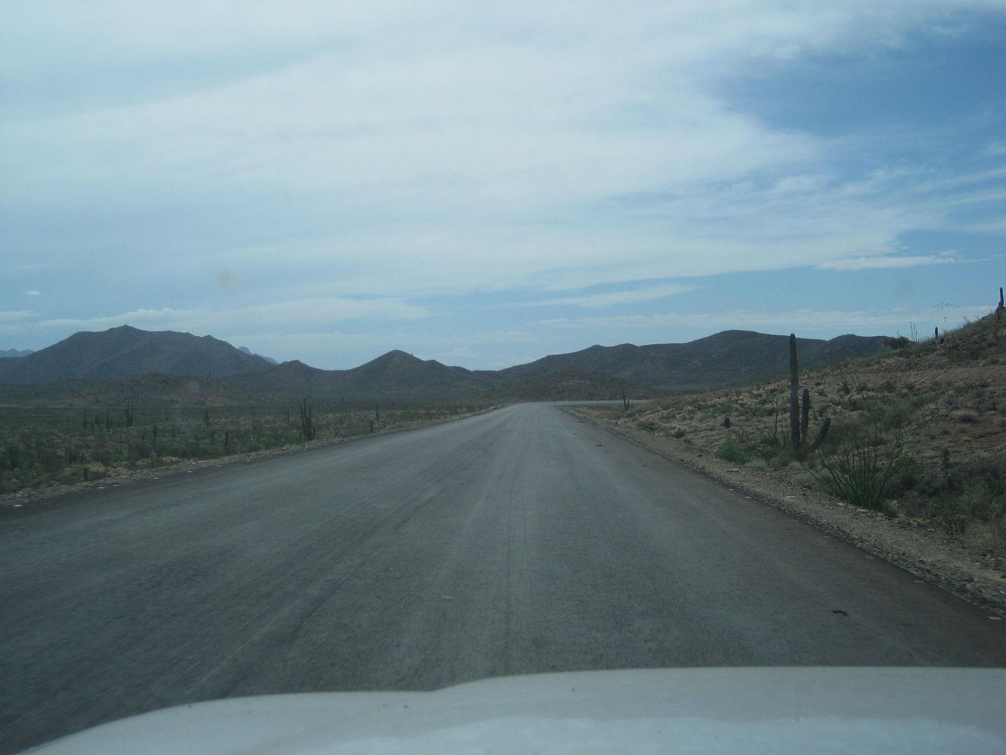
What had been done between 2017 and 2018, was over 4 miles of new roadbed across the Chapala Valley had been paved, but still not open to all traffic. A large dirt berm is on the south end of the paving and no good connection around it (4WD only for a couple hundred feet of deep dust.

There is still 1 mile of unpaved new road to the Hwy. 1 junction. This was likely to discourage extra traffic from Hwy. 1 to get on it or think it is paved all the way now?

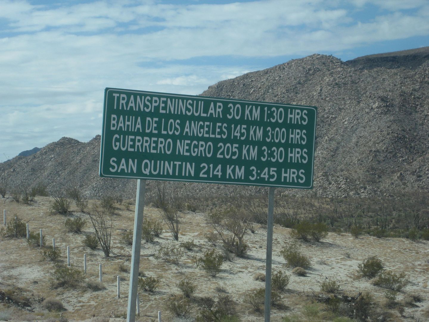
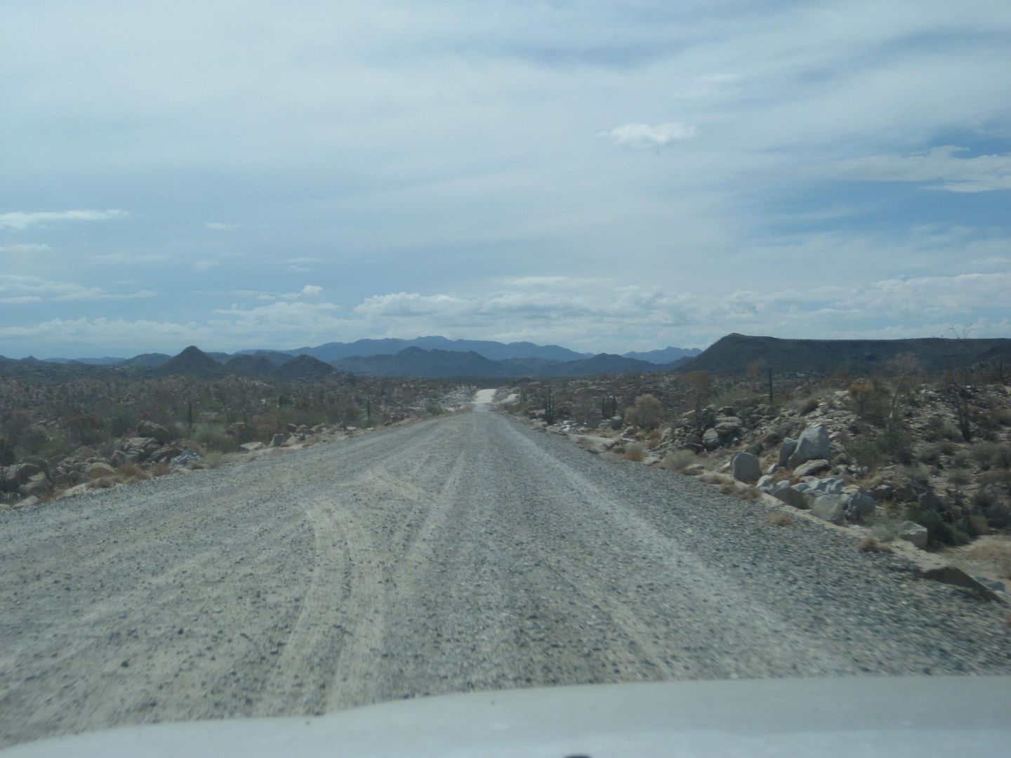
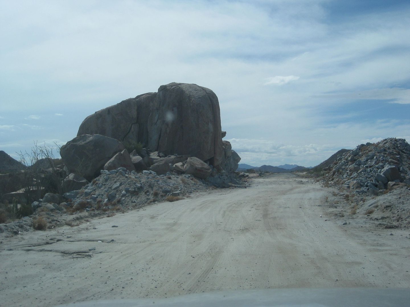
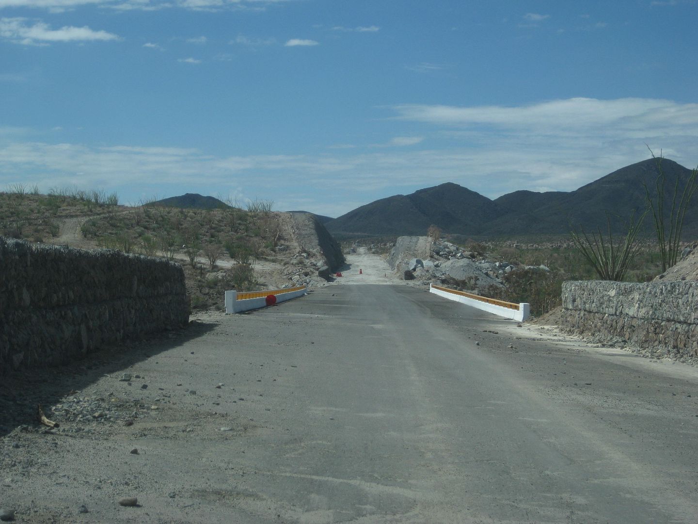
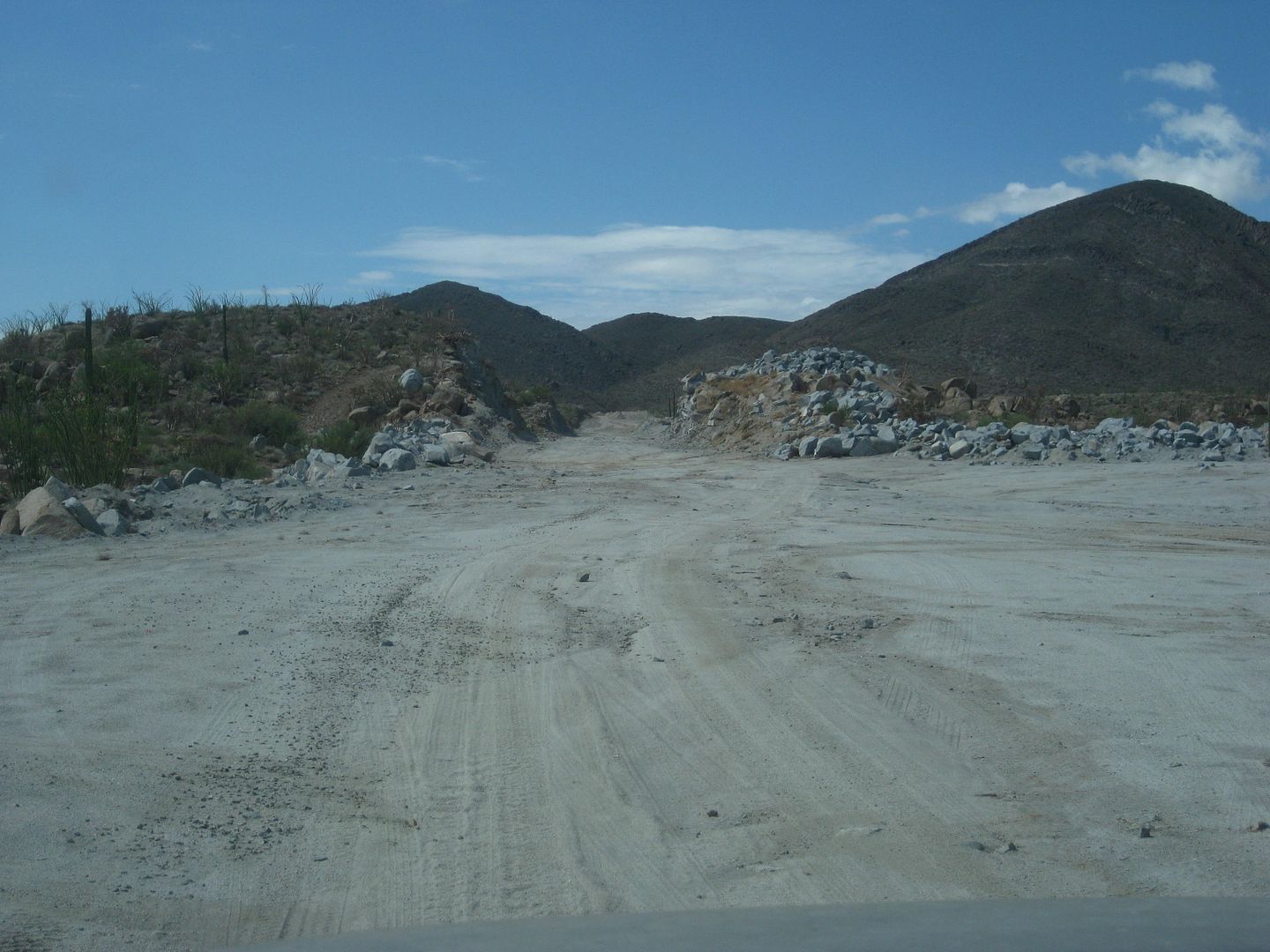
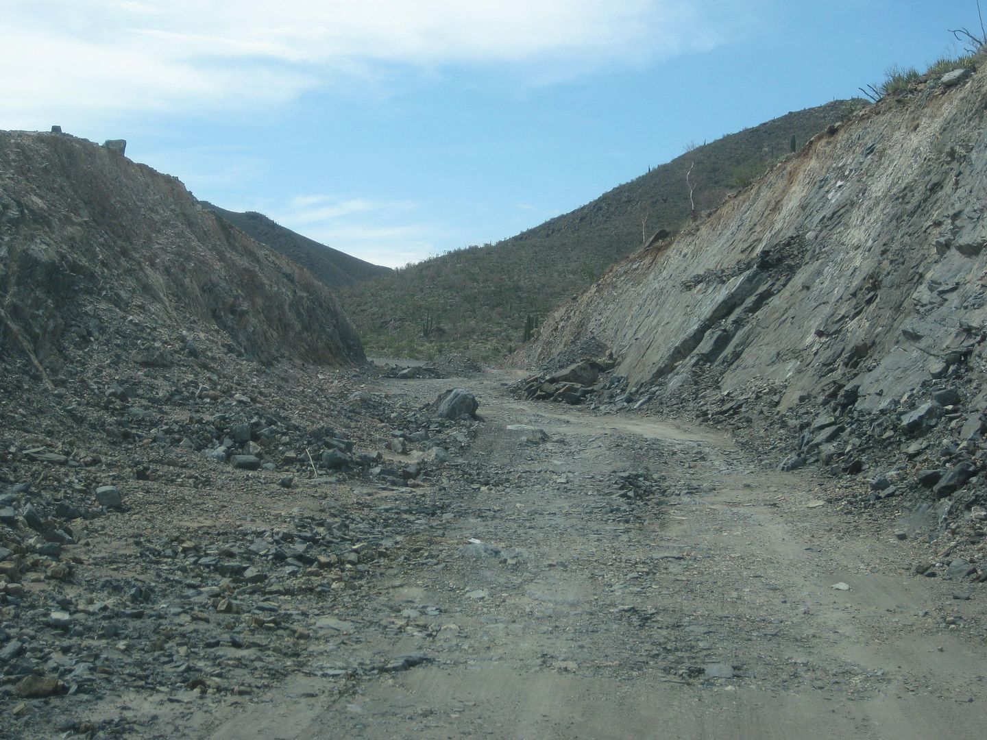
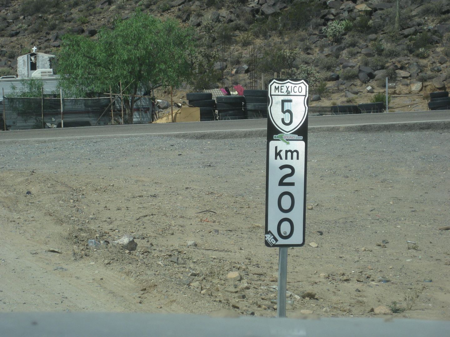
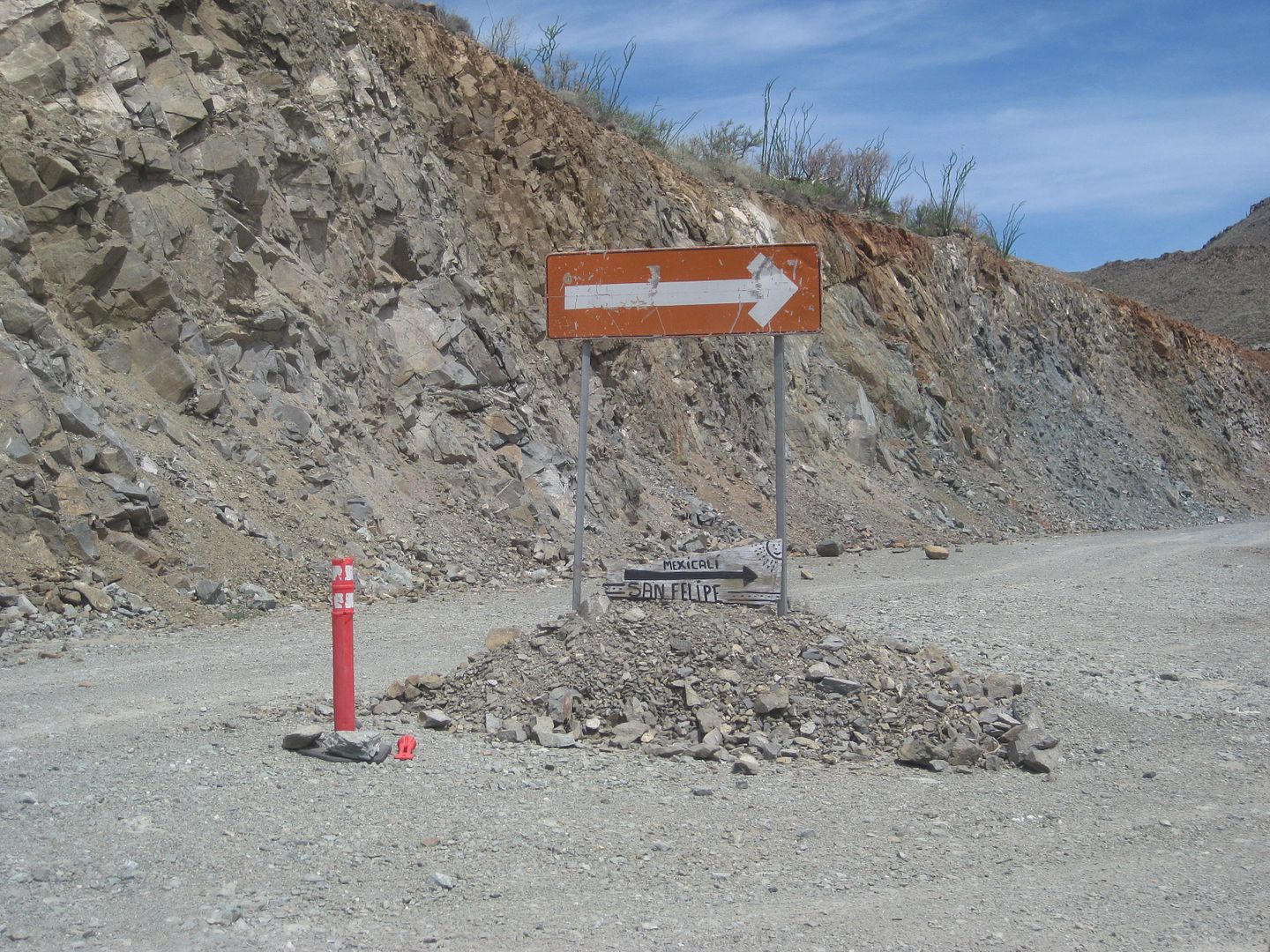
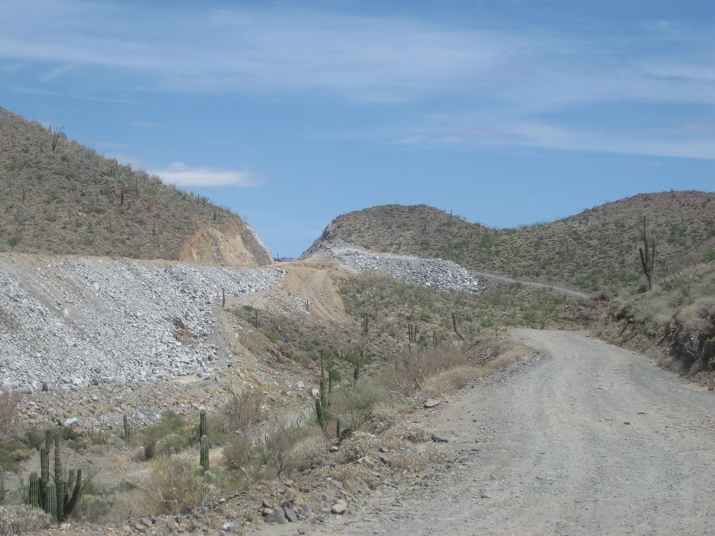
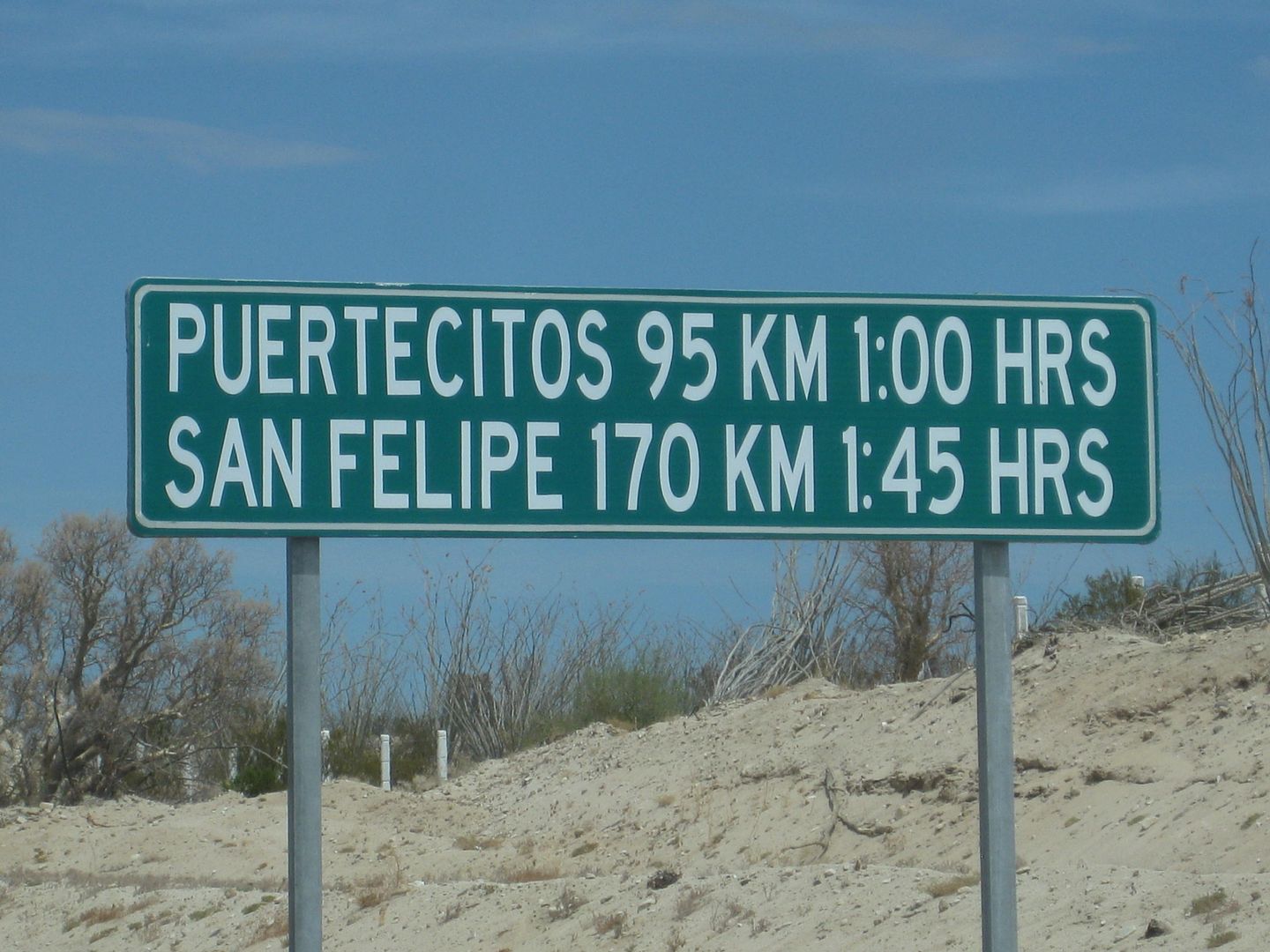
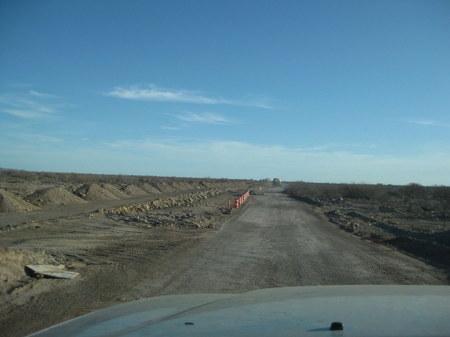
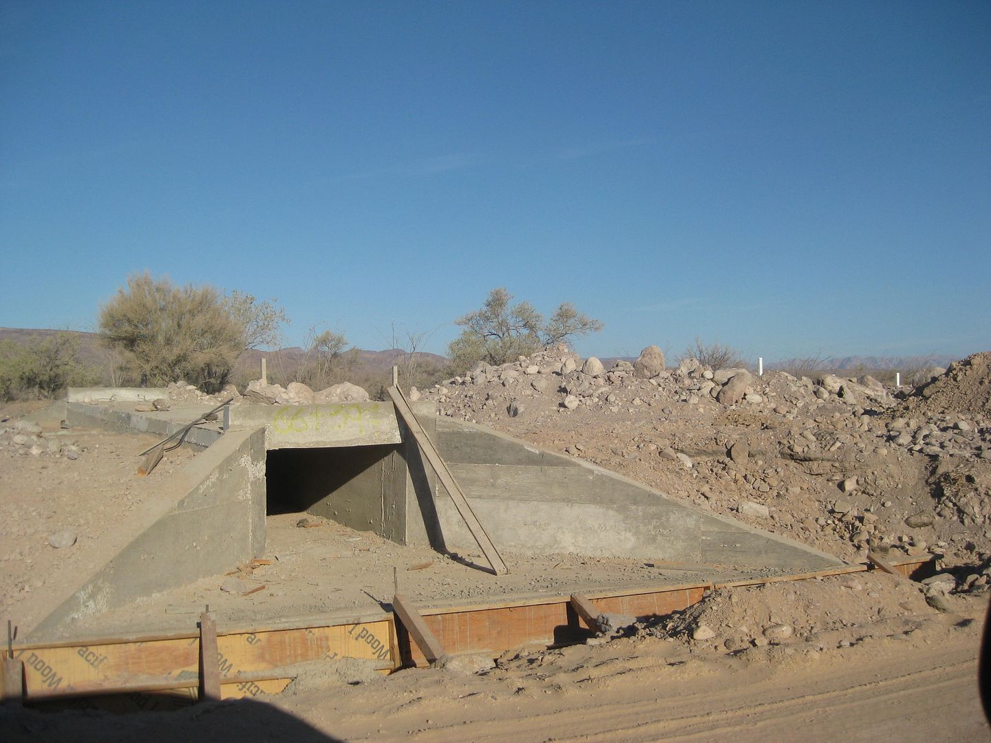
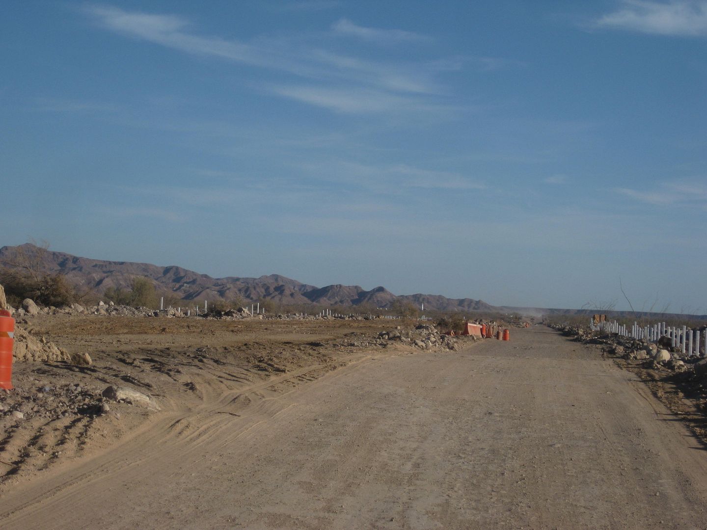
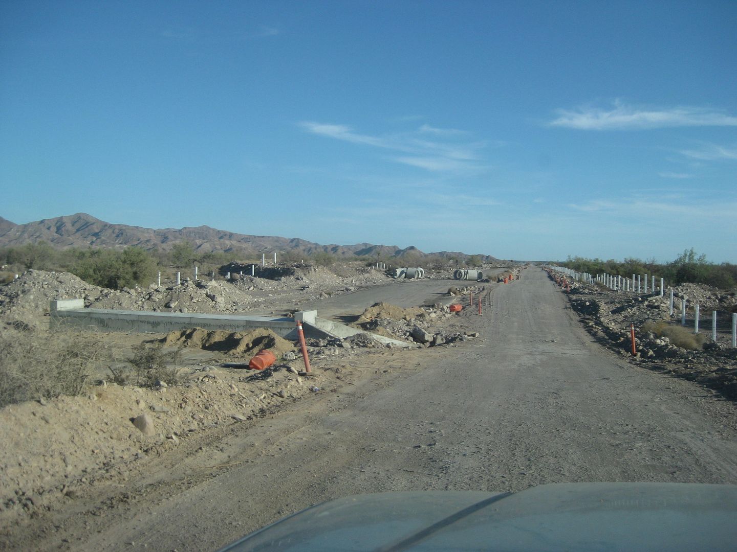
Photos from three months ago, north to south, from near the end of pavement 12+ miles south of Gonzaga Bay gas station:


On the Coco's bypass section.


Paving just at bridge area.


Just over 5 miles from Hwy. 1, paving begins.


At Hwy. 1, (an estimated) KM marker (I calculate the actual number will be 2-3 kms. less when the highway is completed.)

NORTHBOUND from Hwy. 1 back towards Gonzaga Bay:


Detour to older road in canyon near construction camp.


New roadbed on side of canyon (not open to use) as seen from older road.


Just beyond where paving begins going north.
---------------------------------------------------------------------------------------------------

Puertecitos to San Felipe construction zone (Cow Patty's north to Arroyo Matomi, replacing the old paved road with many vados (dips) with bridges and a level road. This new work was pretty much destroyed by the October flash flooding that also took out some bridges south of Puertecitos:


Again, this was in August 2018.

Bajazly - 11-29-2018 at 02:39 PM

Quote: Originally posted by AKgringo  
Call me selfish, but I can see an 'upside' to the devastation to the highway. At least for those of us who prefer challenging roads to lots of traffic and crowded destinations.

The 'realist' in me is hoping the repairs go well, and possibly they can re-evaluate some of their engineering concepts!


I see a huge upside to all the road carnage of the storms. That should keep them busy for a couple years and keep the hoards of people from going that route. The longer it stays an "off road buggy route" is just fine with me.

David K - 11-29-2018 at 02:48 PM

Quote: Originally posted by Bajazly  
Quote: Originally posted by AKgringo  
Call me selfish, but I can see an 'upside' to the devastation to the highway. At least for those of us who prefer challenging roads to lots of traffic and crowded destinations.

The 'realist' in me is hoping the repairs go well, and possibly they can re-evaluate some of their engineering concepts!


I see a huge upside to all the road carnage of the storms. That should keep them busy for a couple years and keep the hoards of people from going that route. The longer it stays an "off road buggy route" is just fine with me.


Sure, me too... albeit that is selfish on my part. I do think Baja is big enough for all of us who want to go... usually just a few days or weeks out of the year. As Mama used to say, Bad roads bring Good people... She feared the consequences of the arrival of pavement in 1973... Good roads bring All Kinds of people (accidents too)!

AK has a good point, their bridge construction was terrible for such a new and modern highway. I guess they thought all those arroyos and canyons hadn't seen water since the last Ice Age?