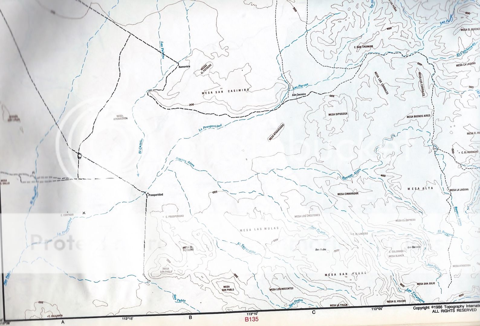
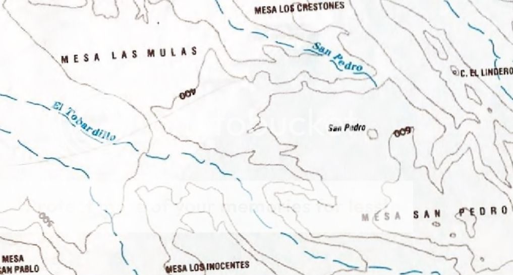
Quote: Originally posted by AKgringo  | | David, what are the contour line intervals on the INEG map? It looks like 50 meters, but I have been confused before! |
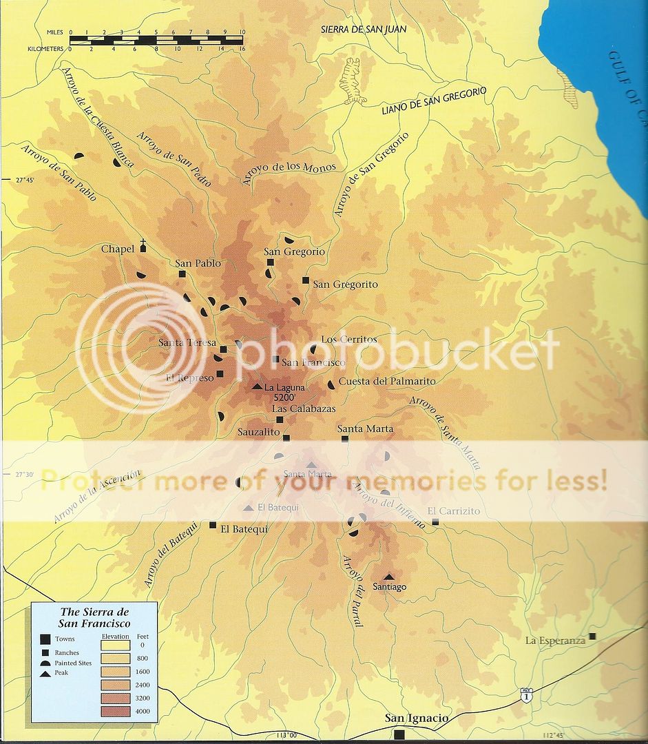
Good question! Without digging up that map off their website, let me just say I did take the elevation at San Francisco de la Sierra and it was 3,640'
or 1,109 meters. If they are at 50 meters, working up from the labeled 750-meter line, it looks like the circle for San Francisco is on the 950-meter
line. Maybe that is close enough to 1,100 on this map's scale? |


