
TMW - 7-4-2019 at 04:38 PM
7/4/2019 Baja Trip
On Thursday morning June 27th I met Nomad John M at the Tecate border where we crossed and he got his FMM. We headed east on the free road to the
Santa Veronica turn off. Down the sand road better know as the El Compadre Trail. We passed the El Compadre camp ground but not many campers there,
maybe July 4th weekend will be better. We see a lot of white flowers and some yellow along the way.
I didn't take a lot of pictures this trip, here are the few I did take.
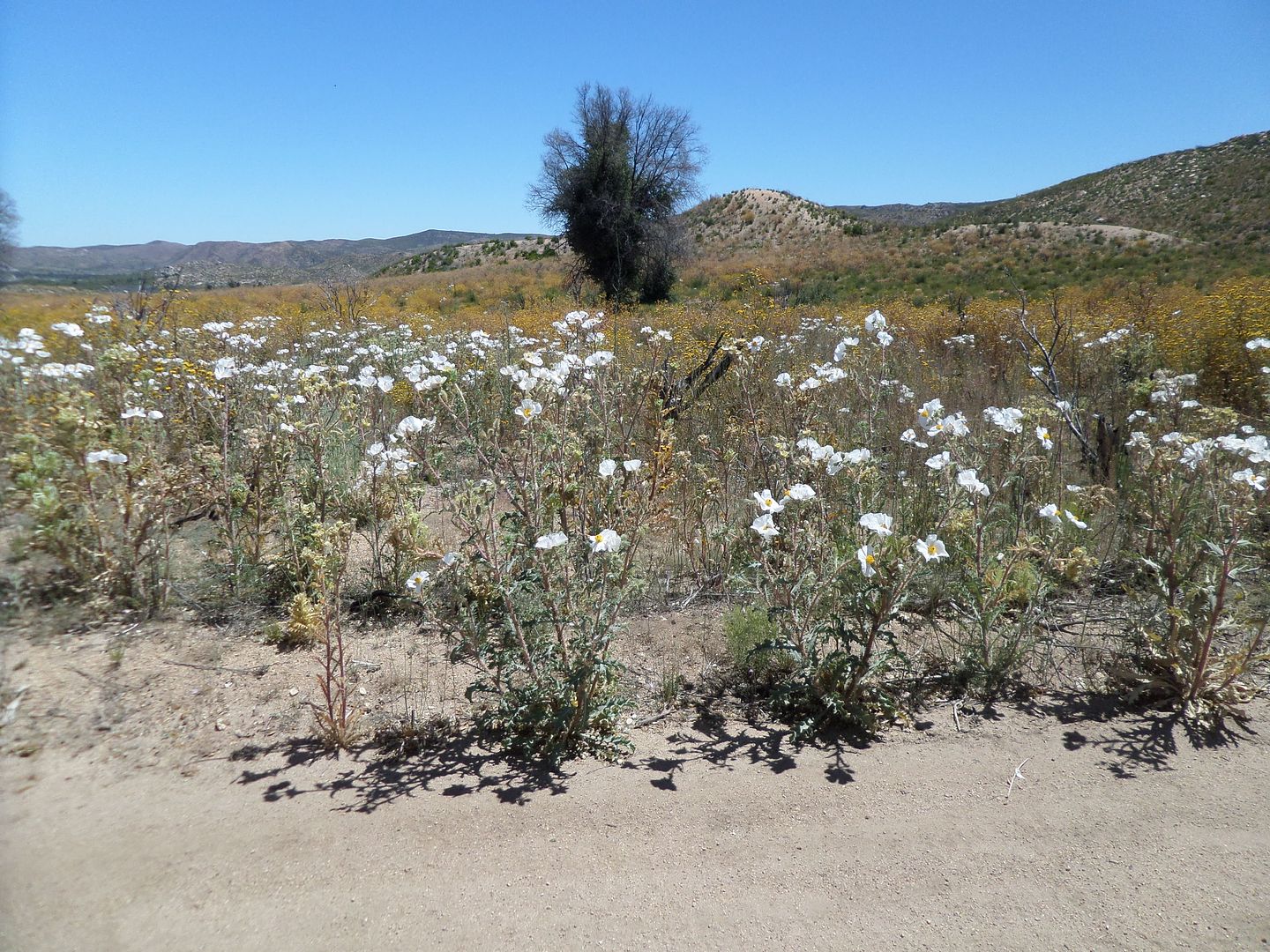
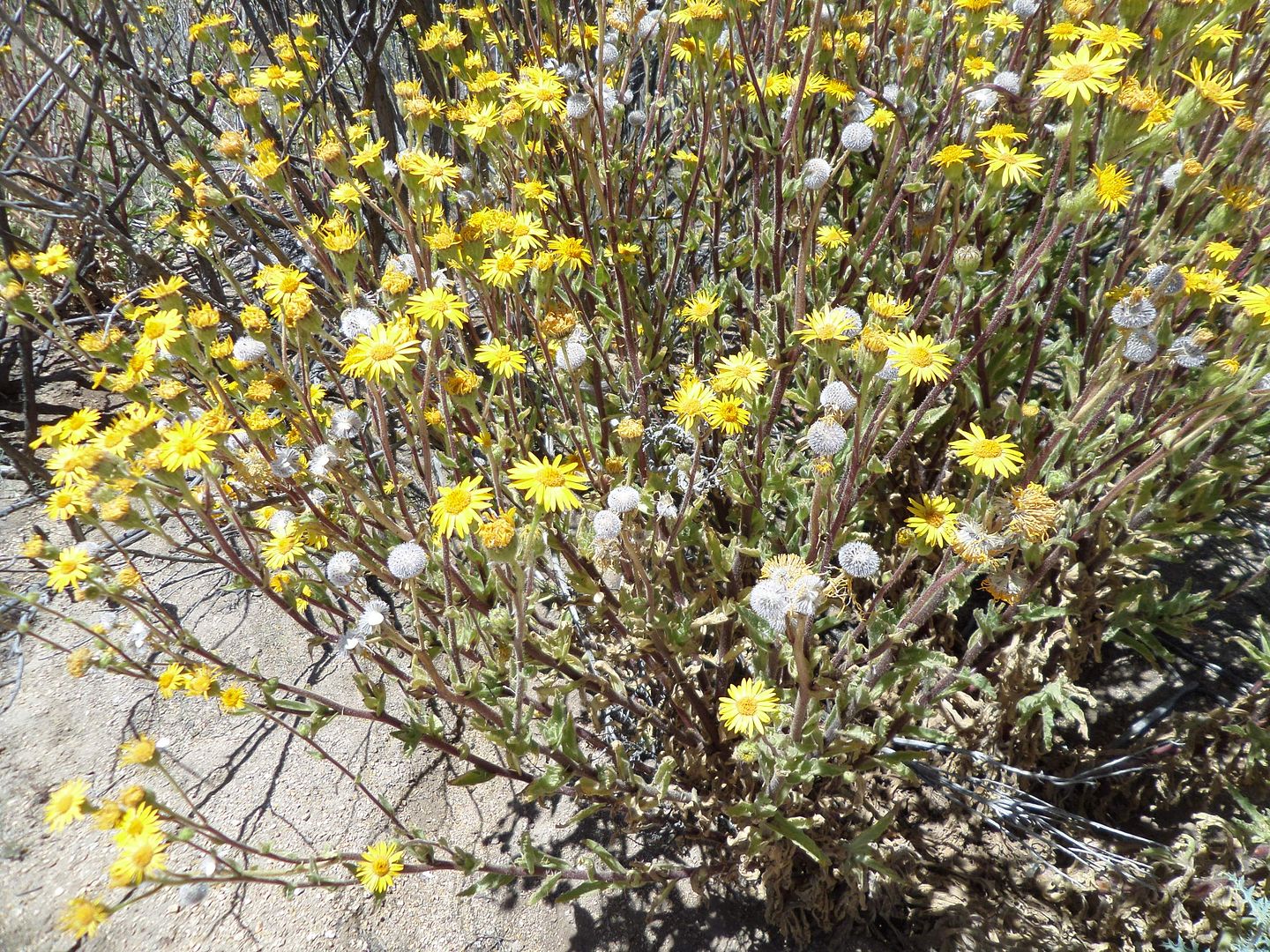
The cabins north of the La Huerta Indian village appear empty or abandoned. We turn west to Ojos Negros using the high road. Crossed Hwy 3 and head
south to Tres Hermanos then on to Uruapan flowing the old route used many years ago. It was rocky and rough in places requiring 4-wheel drive. On Hwy
1 we turn west toward La Bocana on the Pacific Ocean. At the hotel I rang the bell several times but no one showed up so John finds us a nice camp
spot near the ocean but high up to prevent moisture from getting on the sleeping bags.
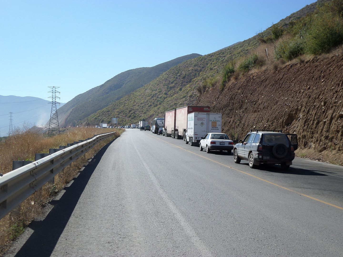
The long line of cars just south of Santo Tomas.
Friday morning, we backtrack to the turnoff that we think will take us south to Erendira. The trail is overgrown with brush and did not look like it
had been used in a while so we decide to pass on this section of the trip. South on Hwy 1 to the turnoff for the Grandpas we go. We arrive and are
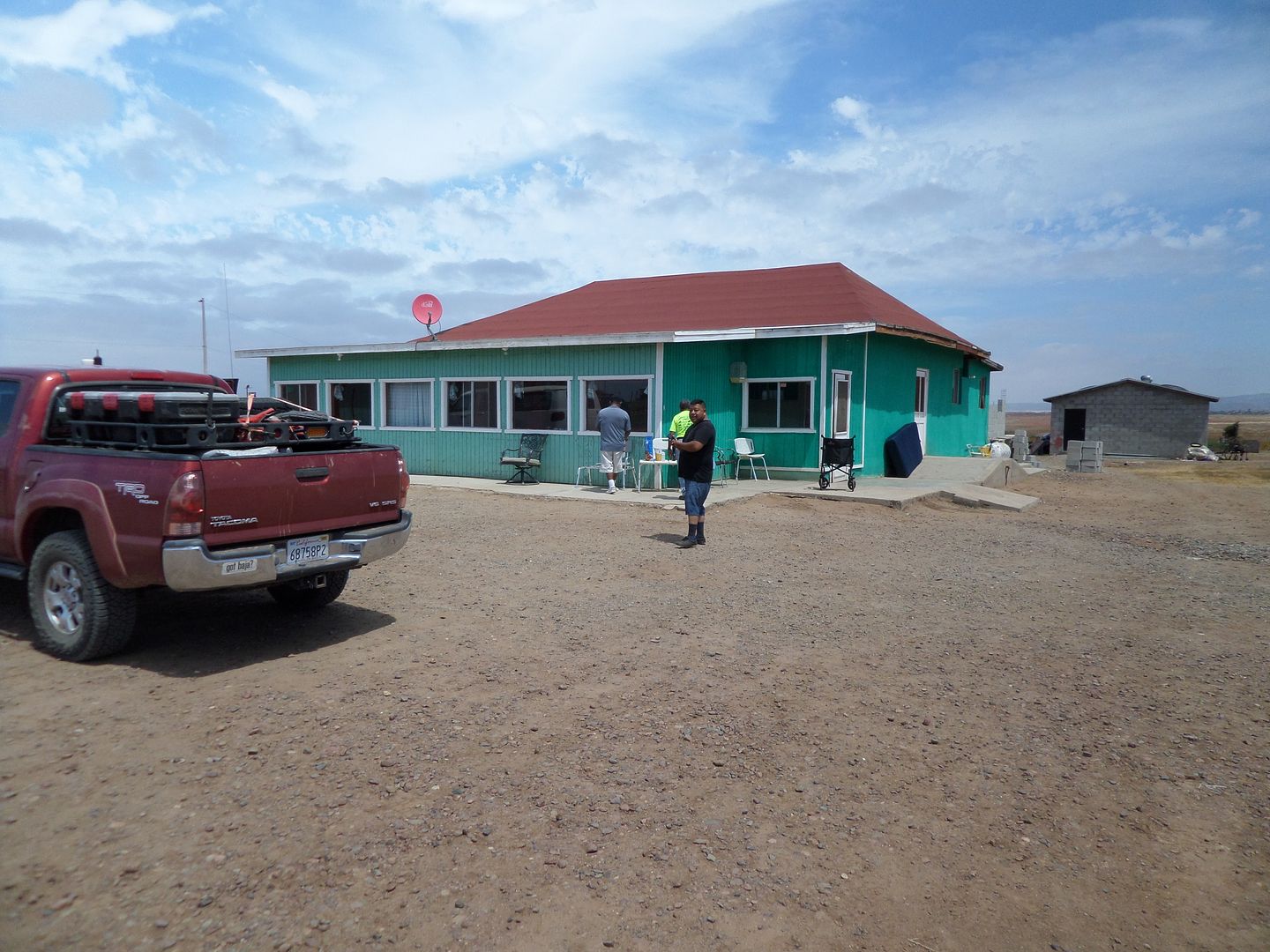
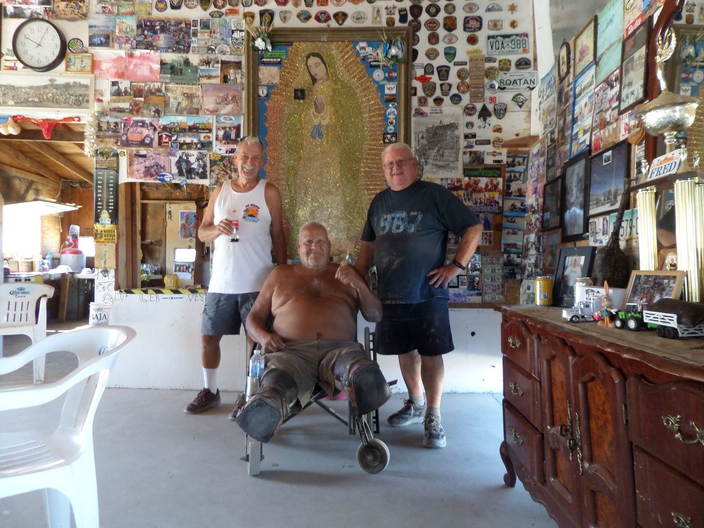
greeted by a couple of friendly men who look after the grandpas. We brought them some rice and beans etc. as well as a walker and transport chair.
They were very thankful for everything. We got the tour and met the men staying there. This was special for us since we had heard so much about the
place. We said our goodbyes and continued on.
The Grandpas home.
Next up was Laguna Chapala and the turn west at KM235. We picked up the Baja 1000 course thru a gate and cattle yard. The first 4 miles was heavy
silt. I stayed way back from John because the silt was so thick, I couldn’t see anything. The silt ended as we approached the dry lake. Across the
dry lake bed we made camp for the night. The weather was warm but not hot, no need for a sleeping bag tonight.
The dry lake bed.
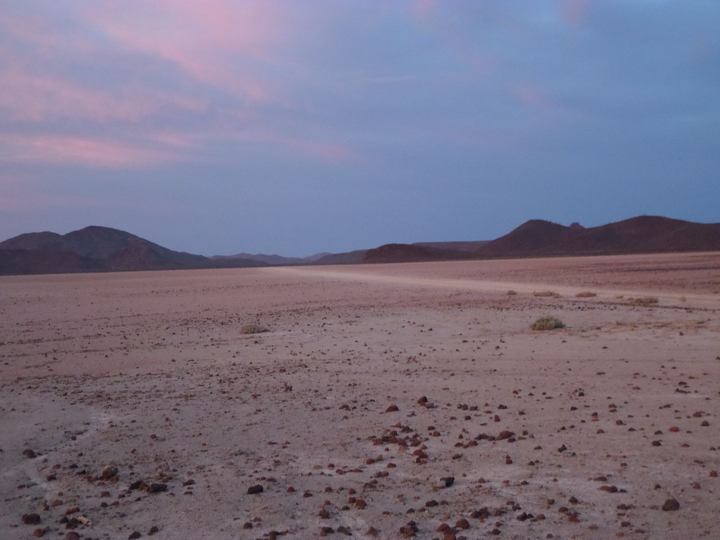
Saturday morning and a simple breakfast of boiled eggs and a hamburger patty, all precooked for the trip. We head west following the 1000 course,
it’s the only road there is. Down the last hill and more silt just not as bad as before. As we approach the ocean, we turn south a little early to
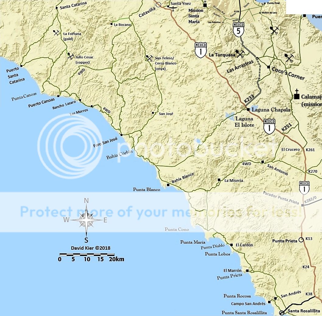
avoid more of the silt beds in the area. Soon we are at Bahia Blanco, one of my favorite fishing spots. We turn east toward the junction near the
windmill and Cordornices. This junction is the top end connecting to the graded road to Santa Rosalillita to the south.
We continue east and are stopped by a gate with a sign reading No Pase. It is not locked but we don’t pass when told not to. We see a man
approaching from the north on foot. When he arrives, I asked if we can pass thru and he says si. We chat for a while and he said he was from Rancho
Las Palomas. He asked if we have any food. We fill a plastic bag full of various items for him. I asked him if he wanted a cerveza, he said no a coke.
I asked if a pepsi was OK and he said si. After chatting a little more we are on our way.
A couple of miles further east and I see buildings of another ranch so we drive by it thinking it was the ranch David K went by to find two people in
desperate need of food, he called it Rancho Misery or something like that. I didn’t see anyone and started to move on when John called on the radio
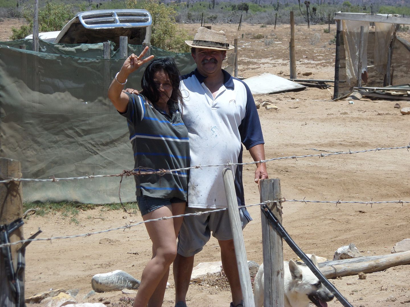
that a lady had come out. When I returned there was a man and woman asking for us to air up a couple of tires for their truck. No problem, so we did.
One had a leak and John plugged it. I asked the woman if she wanted something to drink and she said a coke, sorry only pepsi, OK she said. I asked the
man if he wanted a cerveza and he said no just a coke, sorry I only had sprite which he gladly accepted. They seemed like a happy couple him with a
smile and her laughing and jovial. They did not ask for food but when we left, I gave her a large jar of dried peanuts, I also gave them 2.5 gallons
of gas for the truck. She said the ranch was Rancho Misery(sp). She also said I should learn Spanish, I told her I knew the most important words like
cerveza, margarita, vino, senorita, etc. It actually was a fun encounter. It also left me wondering why these two men did not want a cold beer, I’ll
have to think more on that. We left the ranch and continued east coming out on Hwy 1 at KM270.
The man and woman at Rancho Misery a fun couple.
On Hwy 1 we decided to go to LA Bay for the night if we could get a room with air conditioning. They had a fishing tournament and almost all the rooms
were sold out. It was 107 degrees but we finally got a room at hotel Las Hamacas. The A/C was working great for cooling off a couple of tired old men
when suddenly about 8:30 or 9pm the power shut down. Not just us but the whole town. For the next couple of hours it would come on then go off.
Finally, around 11 it stayed on. After a good night’s sleep, we’re up and out of there on our way to San Felipe.
At the turn off onto Hwy 5 from Hwy 1 I start taking notes on the mileage. About 11 miles in we run up a hill to get on the new section but were
stopped by the construction people. They told us to we could not drive on it. Parts were blocked with dirt mounds. So, it’s back to the old road and
on to Coco’s. We visit with him for a while and on to San Felipe. Around KM40 we come upon a car with a tire problem. Their jack was not working
right or was too small. I get my balloon jack that uses exhaust air to air up like a big balloon under the car. I screwed up and where the air goes in
the edge was too close to a sharp piece and it broke the seal letting the air out. Never fear John is near with his jack and up the car goes. Tire is
changed and we all are on our way. Another good deed by the Fearsome Twosome.
Coco still kicken.
In to San Felipe we stop at Pete’s camp for an early dinner or late lunch which ever you choose. John was going to stay in San Felipe but I wanted
to check out the Ox and Kurt Caselli’s memorial markers where they had died in an off-road motorcycle accident. Ox was riding with Cameron Steel on
a Trip to the Tip run and Kurt was leading the Baja 1000 race. I had been to the Ox memorial once and I tried to find Kurt’s site a couple of times
but was blocked by fences or locked gates. I left San Felipe and turned onto Hwy 3 heading west.
Just before San Matias There was a car on the side of the hwy with the hood up and some boys and girls standing next to it. I stop and ask what is
wrong. The boy spoke some English and said they were losing transmission fluid, something to do with a retainer clip. It was a FORD and I don’t
carry FORD tranny fluid so I offered to go into San Matias to get the fluid. Off I go and there’s no auto parts stores so I go into a restaurant and
ask, wow they had tranny fluid for a FORD I get three bottles and go back to the car. The dad puts the fluid into the tranny and they take off for
Trinidad. I decide to follow them and when they turned off at Trinidad I kept going. It was getting too late to try and find a way to Kurt’s
location so I kept going turning off at KM55 toward the Indian village and up the El Compadre Trail.
It was getting late so I pulled off the main road onto a side road that seemed to have had little use. I find a clearing where I park and spend the
night in the truck. It was cold at over 4,000 ft elevation. I ran the engine a couple of times during the night. At about 6:30 I continue up the
trail. The sun is out and it’s warming up. In a large open area where there is a white house on a hill to the north, I pull over to rearrange the
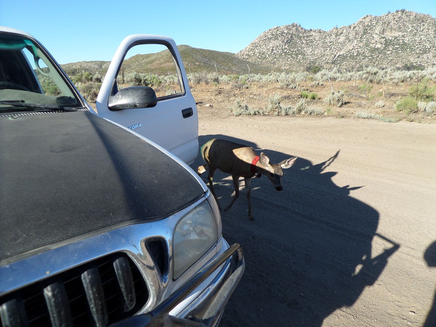
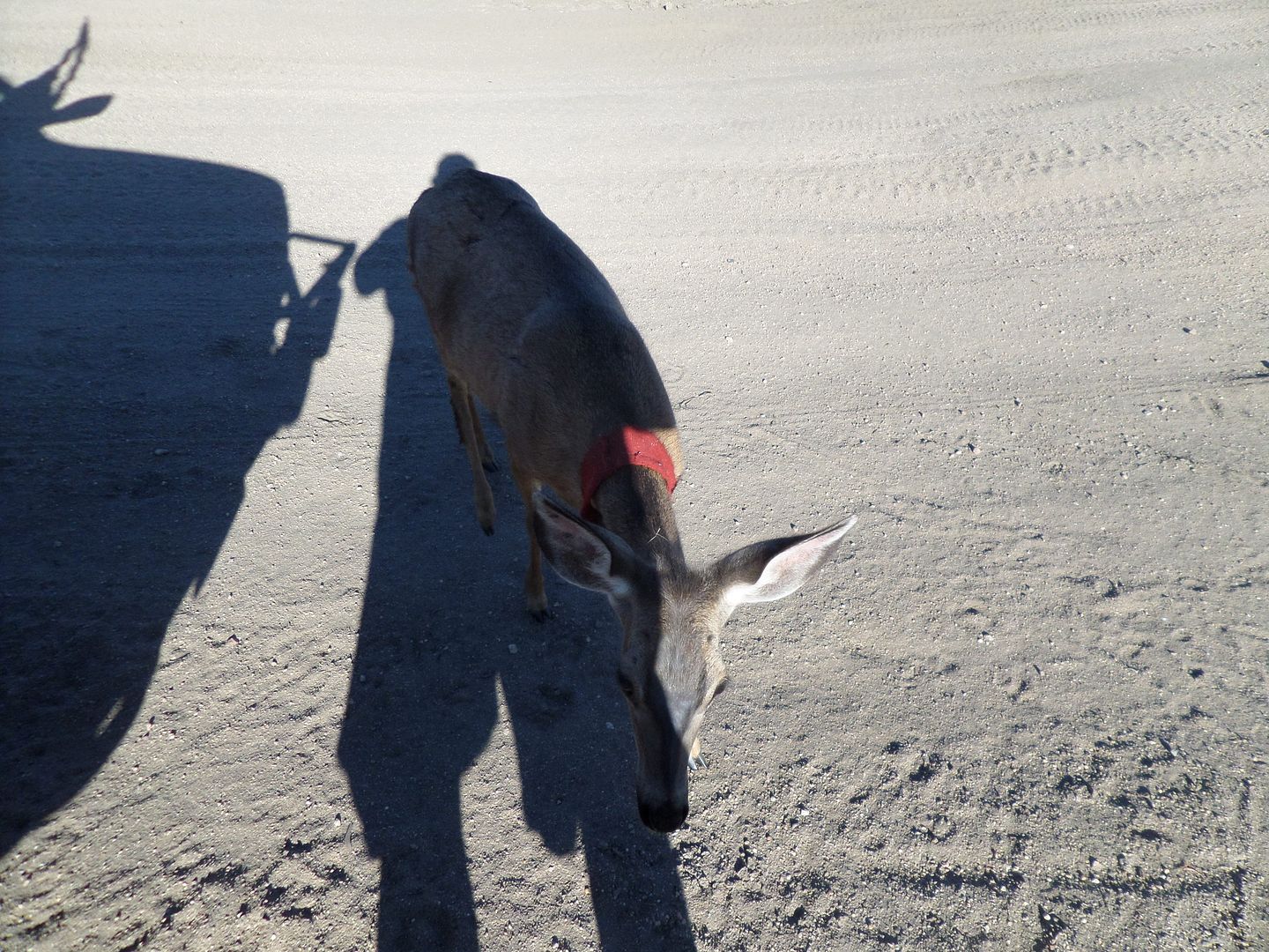
stuff in my truck. With both doors open I’m on the passenger side and when I look over to the Drivers side, I see a deer looking at me. I get my
camera and start around the front of the truck and here comes the deer to me. I put out my hand and she touched it with her nose. She must be
someone’s pet because she had a red cloth collar on. I took a couple of pictures but they didn’t come out very good due to the shadow. As I get
into my truck she is gone into the brush.
My friend Bambi.
I make it to Tecate only to find the line the longest I’ve ever seen it, must be a 4 hour wait at least. I decide to take the toll road to the Otay
crossing. I get there and it’s a 1.5 hour wait. Into San Diego where I have a hotel room waiting in El Cajon. Dinner with Nomad the Squarecircle
(Roy) and It’s a goodnights sleep.
Another great trip to Baja and all the interesting things that happen.
John also took some pictures that he can add along with his comments.
[Edited on 7-5-2019 by TMW]
wessongroup - 7-4-2019 at 05:00 PM


AKgringo - 7-4-2019 at 06:32 PM
Good report, thanks for your effort! About Bambi, I would not expect you to check for proof of sex, but to me that head looks like a yearling buck
that will next year sport a set of antlers...just like his animated namesake did
advrider - 7-4-2019 at 07:11 PM
Good report, so nice to be close enough to make quick runs to Baja, just a little jealous!
BajaBlanca - 7-4-2019 at 07:28 PM
What a great report! I love that Bambi was so friendly. Good to see that you are out and about your beloved Baja creating new advenures.
TMW - 7-4-2019 at 09:48 PM
I really have no ideal if the deer is a he or she. I just assumed it was a she since it was so friendly and attracted to me. The trip was John's ideal
to do some trails we had not been on for a long time or was never on them. It was really fun meeting people along the way. The couple at Rancho Misery
was the most fun. They seemed so happy living so far from anything in the middle of nowhere. The Grandpas struck a cord with me and I plan to go down
in a month or so and take them some much needed supplies.
MICK - 7-5-2019 at 06:37 AM
Tw. Sorry I missed you. We have been gone some.
Next time let me know your coming maybe I’ll go along.
Mick
BornFisher - 7-5-2019 at 07:11 AM
What a great trip. That big halibut and WSB will wait for your return to Blanco!
Thanks for the pics and report.
David K - 7-5-2019 at 07:51 AM
Good morning Tom. Thanks for the report!
The couple I rescued (April 2017) and drove to Santa Rosalillita and then to Punta Prieta, all in the dark were Leo and Lorena at Rancho Miseria.
Lorena spoke some English. Leo's Ford Ranger was on the road near the bottom of the big grade, east of the ranch. It was broken down for months there
(Leo said).
The story she told me back then was that they were from Tijuana and took on the job of operating the ranch for its owner, a Rosarito Beach taxi
company owner. It had been several months since he last paid them a visit (or paid them any money) and they were out of food and the Ranger broke down
(bad distributor) when Leo tried to drive to Punta Prieta for supplies. Leo takes heart medicine and he was out of that, too! They were very desperate
so I changed my plans to drive the road to Chapala from the coast and instead took them to Santa Rosalillita, getting there at 11 pm. The people that
they knew were not there and feeling their "misery" I took them on to Punta Prieta to the 24-hour restaurant on the southeast side of that town.
I think your photo is the same two!?? Did they say their names to you, Leo and Leona?
TMW - 7-5-2019 at 09:40 AM
David, I don't remember if they said their names or not, maybe John knows. Gosh we were busy filling the tires and talking to them I don't remember
what kind of truck they had. I think it was a Ford. We asked about the road out and she said in a 4x4 no problem.
I wish I had brought my fishing gear, driving by Bahia Blanco brought back many good memories.
Thanks Blanca, these are the kind of trips I really love, meeting people in the middle of nowhere. Somehow we manage to communicate.
Thanks Mick.
David K - 7-5-2019 at 10:46 AM
As you know, I was getting your Spot location notices and almost couldn't believe how you sped by all those places... It was almost like me
researching for the guide... drive, drive, drive! I figured you would spend a day at Bahía Blanco, for sure! 
Adding to the trip report by TW
John M - 7-5-2019 at 11:54 AM
I'll add info piecemeal as I do...
It was a great trip - some parts new to me, some traveled 30+ years ago.
First part I'll recap is from Highway 3 near Ojos Negros, at the Pemex to Uruapan on Highway 1.
We gassed up for the drive south. We followed the "usual" route for about 9 miles - a well-graded dirt road. We came to the junction where, to the
right (heading south as we were), the SCORE race course takes a newer route to Uruapan. Since Tom & I hadn't taken the older route to Uruapan via
Tres Hermanos for many, many years, we had decided to go that way - a left at the junction.
The road for an additional 5 miles or so to Tres Hermanos was smooth. Just south of the ranchhouse is a sign - El Alamo to the left, Uruapan to the
right. Immediately the road character changed to rocky and slow, only one or two sets of tire tracks to follow. We bounced along for a few miles
enjoying the scenery. As we bypassed a ranch shown in the Baja Almanac as La Lagrima everything changed! I had been using four-wheel-drive since Tres
Hermanos for the stream crossings and such but the road directly in front caused me to change plans. Low range, low gear - for the next mile and a
half we crawled along, boulders bigger, lines narrower, deep ruts that would mess you up if you strayed off the best line. I even engaged the locker
for the steep parts and it was useful on the slow downhill portions. I only had to get out and scout the way once - a very narrow path between the
hillside and huge rocks. I think anything wider than my 2006 Tacoma would not fit! Finally off the rocks we regained a better road to Uruapan at a
ranch shown as El Burro. I told Tom at the time that I doubted I would have been able to maneuver through the very narrow spots if we had been
traveling in the opposite direction. Our trip continued....
 directions to nearest petrol station
GPS route available if anyone is interested. We took the route in green - the race routes is shown in yellow.
David K - 7-5-2019 at 12:28 PM
More please!

fishbuck - 7-5-2019 at 01:39 PM
Nice report and photos thanks!
Adding a little more detail
John M - 7-7-2019 at 05:27 AM
As we left Uruapan we headed for a hotel near La Bocana - the La Bocana at the end of the road to the coast just north of Santo Tomas.
Agriculture fields line the gravel road for most of the 19 miles.
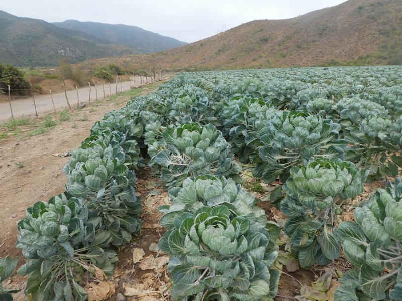
Brussel Sprouts?
Tom got ahead and checked out the hotel he and Roy (Square Circle) had stayed in but couldn't find anyone around so we retreated a couple of miles and
found a clearing to make camp. Weather was perfect.

Punta Santa Tomas in the distance
Next morning it was back to the highway and south. As TW mentioned we paid the Grandpas a visit - this was also my first time there. We met the caring
staff and all of the "Grandpas" - You cannot leave there without wishing you could do more to help.
Through the many towns south of Camalu we had lunch at Mision San Isabel restaurant on the east side of the highway just as you enter San Quintin -
good lunch - no photos. Next stop was for gasoline at Baja Cactus. Antonio's restaurant is still under construction, several fellows working on the
front entrance. I think it will be some time before it's ready to serve food - six months to a year?
Continued south. About a half mile beyond the tire shop where Highway 1 and 5 meet at Chapala is a restaurant. Adjacent to the restaurant a road heads
west, through a corral, and toward the Pacific.

Google Earth Image of Rancho Chapala and the turn west
Almost immediately after leaving the corral we encountered a long silt bed - probably three miles of silt! TW stayed back so he could pick his way
among the half-dozen routes through the powder. Silt ended and we came to a dry lake, crossing the three miles or so of lake bed we made camp.
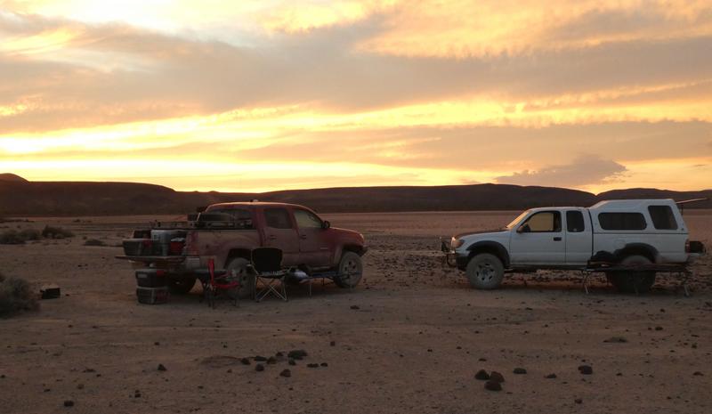
Western edge of a dry lake. 5 or 6 miles west of Highway 1
On the road by 7:30 a.m. we enjoyed the drive toward Bahia Blanca. The road was everything you could want for a less-traveled Baja drive. Rocks, more
silt, ups and downs, carcasses of abandoned vehicles and did I say more silt? So, the 30 mile drive to the Pacific was done, we headed south a few
miles along the coast before returning inland for the next part of the adventure - back to Highway 1 - on a dirt route perhaps even less traveled.
John M
[Edited on 7-7-2019 by John M]
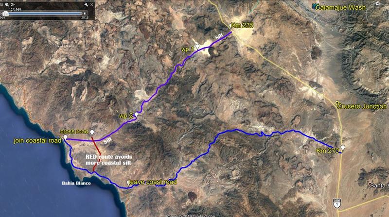
Map of our Pacific side route near Chapala
John M - 7-7-2019 at 10:34 AM
Google Earth lends itself nicely to finding and following routes. We realized the old school thought is to throw maps and gps away and follow your
nose for even more adventures - but at least I subscribe to the thought that it's nice to have a better idea of where I'm headed. On the map below,
Highway 5 junction is just north of the Km 235 mark and the Bay of Los Angeles road is at the bottom right.
David K - 7-7-2019 at 10:38 AM
Nice... thanks, John!
TMW - 7-7-2019 at 10:59 AM
David in the picture near the top with the man and woman at the ranch their truck hood is up in the background and it appears to be a Dodge. I didn't
see any other vehicles at the ranch.
David K - 7-7-2019 at 11:07 AM
I am pretty sure that the couple in your photo are Leo and Lorena.
The Ford mini truck was on the grade to the east, and almost blocking passage. This was in 2017, so it may have been fixed, moved, or ??
I am surprised to see them still working for the same landlord that they said abandoned them there, at La Miseria.
the trip got hotter and hotter!
John M - 7-7-2019 at 12:40 PM
Reaching Highway 1 a few miles north of the Bay of LA junction I needed gasoline as I knew I couldn't make it to San Felipe in the event Gonzaga Pemex
was closed. We headed to the junction, deciding along the way to head to Bay of L.A. for a shower & hotel room. We aired up at the tire store at
the junction and headed down for an adult beverage. We immediately saw all kinds of fishing boats and lots of people sporting red shirts - we knew
something was up - what was up was a tournament bringing in lots of fishermen and taking up almost all of the hotel rooms. Luckily we got the last
available room at Las Hamacas - $60, including a hot shower! It was 107 degrees in BOLA - power all over town kept going out half a dozen times -
finally about midnight it came back on and stayed on the rest of the night.
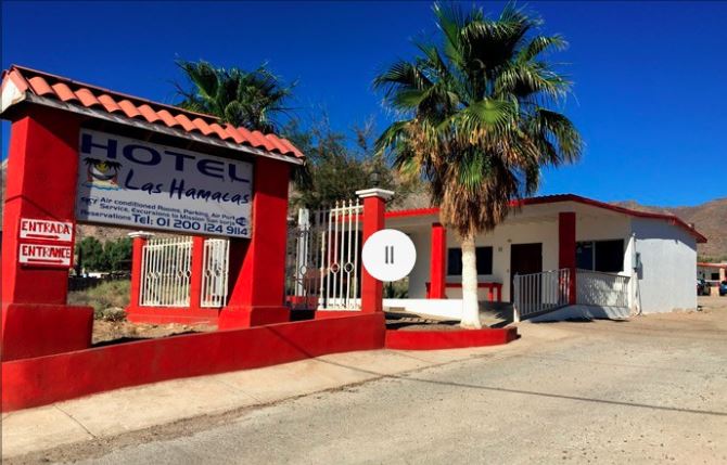
Sunday morning it was off to San Felipe - we thought we'd note the road conditions on Highway 5 - and that lasted a short distance. Here is what we
found - half mile of gravel as you leave Highway 1 - then onto pavement until you are half-way up the hill - 5 or 6 miles in. Then onto a graded road
bed for another couple of miles. They then detour onto the older road - the slow bumpy, rocky road into Coco's. Beyond Coco's it's mostly ten miles on
the old road - a mile or two of pavement but not much really.
We had inquired at Coco's about being on the old road and were told that due to a number of accidents on the unpaved portions of the new road that all
traffic was going to be re-routed as we found it. Any place you might easily access the new road was blocked by boulders and high dirt berms. We tried
unsuccessfully to gain the new road but were detoured off by construction crews. Still, all in all, not bad.
Rancho Grande Pemex was open. There has been no work on any of the bridges washed out a couple of years ago. We stopped at the Puerticitos Pemex which
was open and the fellow there said it was open 8:00 a.m. to dark seven days a week.
Ten miles of construction as you leave Puerticitos and your on an OK bypass the whole time. Potholes abound once we regained pavement. They are in the
process of installing drainage pipes at all of the vados south of the "OH chit DIP" - that will be a time consuming project, with additional short
detours off the pavement.
John M
[Edited on 7-7-2019 by John M]
bajaric - 7-9-2019 at 01:21 PM
Awesome trip report. I knew there were two roads east of Urapan! The old one is very scenic. I got as far as the oak camp ground that you guys
passed in the other direction
bajaandy - 7-9-2019 at 01:44 PM
Great trip report! Love those two roads that lead to the Pacific coast. Looks like you guys really covered some ground!
bajaric - oak campground
John M - 7-10-2019 at 06:45 AM
Ric - when we passed the oak campground it looked deserted. Tables and other amenities were still there as was a small travel trailer with the door
wide open.
Surely it is a nice setting for a campsite.
The road remains in good shape eastbound for another 8+ miles until you get to an active ranch. Immediately after passing through the corral you get
to the rough stuff.
John M
bajaric - 7-11-2019 at 11:08 AM
John M, yes that is a neat spot, a little oasis of spring fed oaks and sycamores in all that barren country, was deserted when I was there too except
for 3 locals who passed through on motos. I saw some plastic totes full of cow skulls. Somebody must have had some big barbeques there back in the
day! I did not attempt to go further east, the road was already a little off camber and my gut was telling me that it would get a lot worse and was
in 2WD pickup by myself. There was a reason the main road from Ensenada to El Alamo went up past Ojos Negros back in the 1800's rather than taking
that route. Even Gerhard and Gulick did not attempt it. You guys are to be commended for all the help you gave to various people along the way,
makes a good impression on the locals for those of us who follow in your footsteps, or wheel tracks, as it were. Gracias!
David K - 7-11-2019 at 12:28 PM
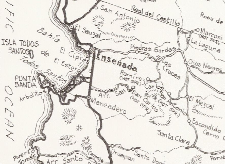
In the Lower California Guidebook, Howard Gulick went as far as Santo Domingo (5.1 miles from the highway) and adds that a "little used road"
continues to Santa Clara.
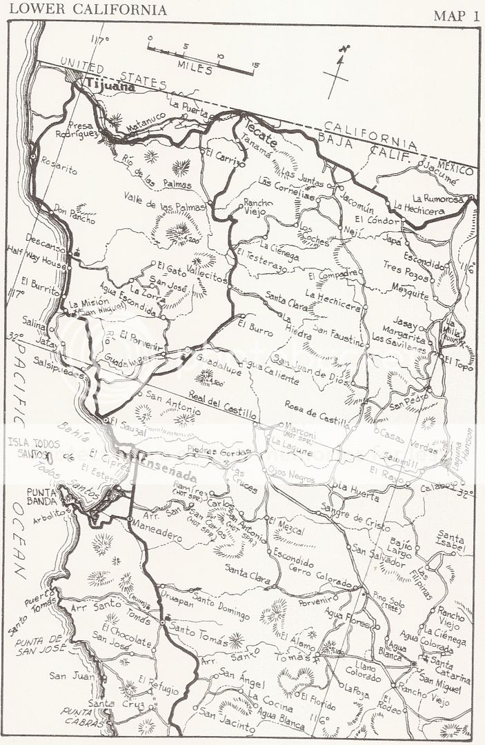
In 1974, Auto Club Map:
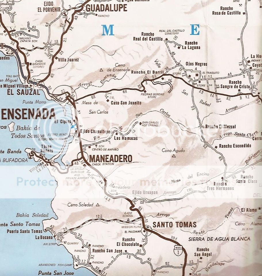
On the 2010 Auto Club Map:
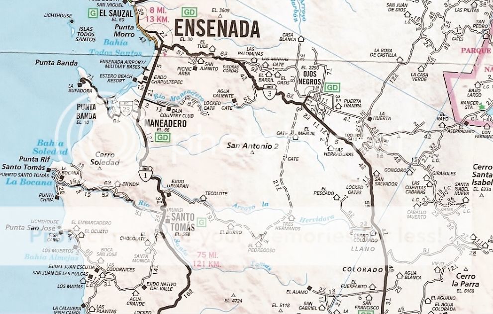
[Edited on 7-11-2019 by David K]
GalacticGS - 10-7-2019 at 10:42 AM
My buddy and I just attempted to head to Tres Hermanos on motorcycles but were faced with locked gates not too far south from Ojos. There was a sign
that with our limited Spanish we were thought said you had to perhaps register with the local ejido to gain access to the road. Does anyone have any
info?


 directions to nearest petrol station


