
David K - 8-29-2019 at 10:31 AM
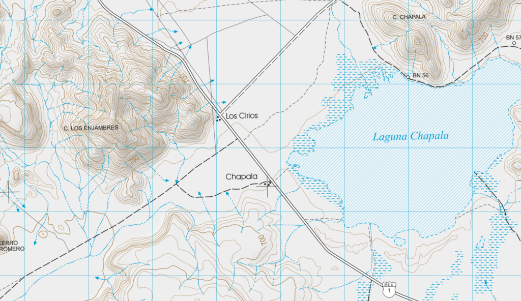
Mexican Topographic Maps from INEGI
https://www.inegi.org.mx/temas/topografia/
For Baja, pick the 1:50,000 or 1:250,000 scale and just click the square on the area of interest.
The PDF and GeoPDF versions will open the map. Other version go to zip files.
StuckSucks - 8-29-2019 at 03:14 PM
They have some high quality topos there, but those seem to lack smaller back-roads. I'm a big-time map guy, but gave up paper almost 30 years ago; a
fun, academic peek at the old-school stuff.
PaulW - 8-29-2019 at 04:13 PM
Yup you are correct way old aerial photography.
The main use is examining the topography when Google Earth needs help.