BajaNomad

Matomi Ranch Campout

PaulW - 11-5-2019 at 05:02 PM

Matomi trip.
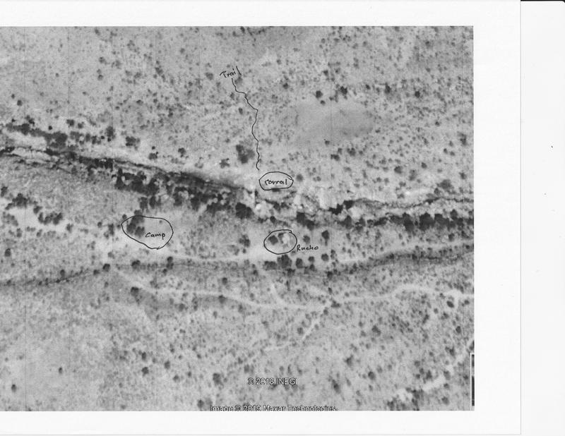
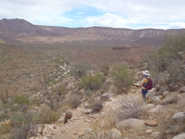
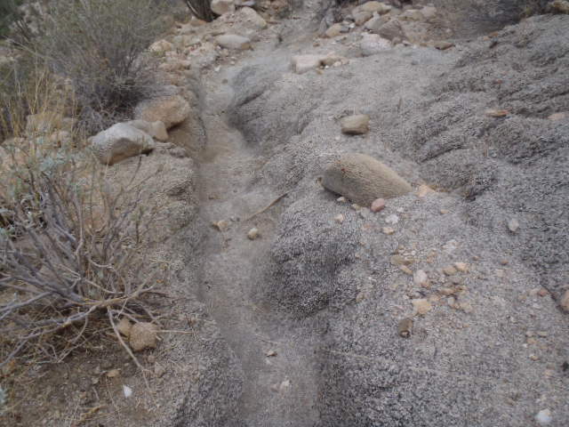
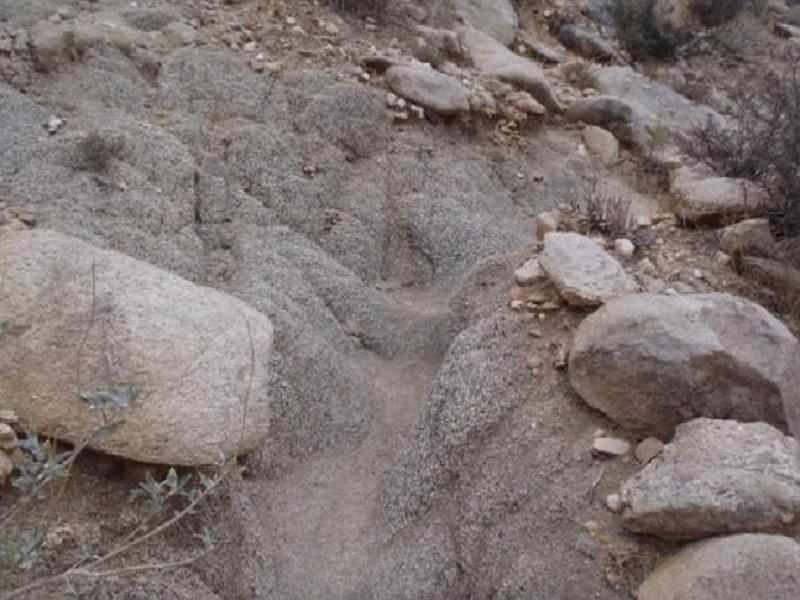
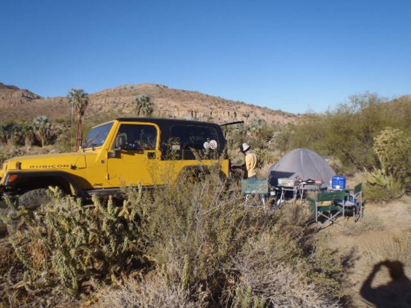
Camped for 3 nights and hiked for 2 days. Our camping area is north of the ranch building on a relatively flat area. Found an trail heading north toward Parral was estimated as pretty ancient with the trail deeply worn in the granite rock. It is apparently used often by horseback as evidenced by the machete trimming of the tree limbs. Lots of evidence of horse and cow travel. At the divide where we turned around, I could see the valley south of the Parral valley. Elevation gain from camp was from 2000 to 2500 feet.
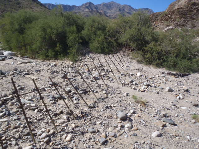
At the ranch we saw lots of activity 5 guys left each morning by horseback and retuned just before dusk each day. No idea what is going on. Two pickups are parked at the ranch house. The wranglers are very friendly while at the ranch building. Two new corrals are present plus the existing corral next to the ranch house. One new corral is the flat area north and across the creek and another on down the valley next to the road. Both are prefab metal panels and look expensive. Noted a mother and colt in the ranch corral and another free roaming horse in the area. We saw cattle up the valley along the creek wondering as desired as no fencing is present upstream. Downstream from the ranch building we found new fencing across drainage to prevent cattle from going down valley.
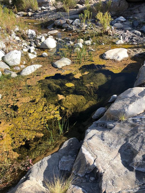
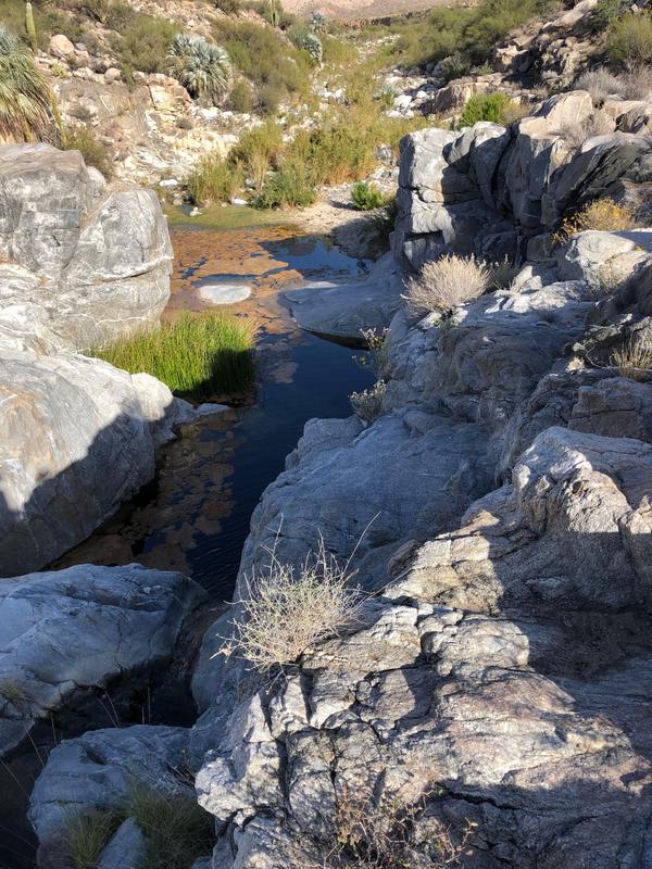
The stream is flowing gently, and all the pools are full. The large pond below the cliff still has the moss on the surface like it has had for several years. There are two black plastic pipes providing water to the upper corral and to the ranch house. The water source end of the pipe is way up stream. Overall we were impressed by the severe dryness and many dead plants.
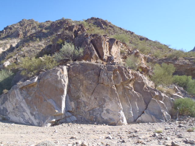
Here are a collection of a few pictures


advrider - 11-5-2019 at 06:09 PM

Wow, that's some trail! Any more pictures? Good report..

David K - 11-5-2019 at 06:20 PM

Tomás Dowling (original Matomí Ranch owner?) told me about the mini oasis along the trail to Rancho Parral over the hill, back in 1979. I had hoped to hike it one day. Thanks for getting to do that. Please post more photos (one was posted twice).

PaulW - 11-5-2019 at 09:31 PM

trail

PaulW - 11-5-2019 at 09:59 PM


Upper pool

Cliff Pool

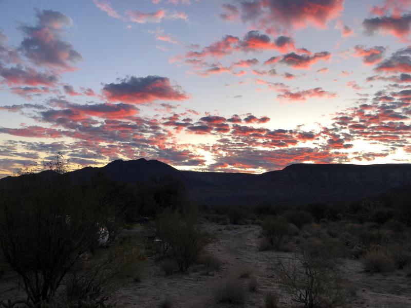
Sunrise


PaulW - 11-5-2019 at 10:11 PM

That place is now just a mud hole with shallow water. Makes the animals happy in the shade of the blue palms.
Water is seeping from a crack from the small arroyo above.

The trail continues beyond that first divide where we turned around. It skirts left around that valley. Not very inviting due to the very dry condition. The trail is somewhat above any significant bushes. Too bad the trail does not show on GE
======== =
Quote: Originally posted by David K  
Tomás Dowling (original Matomí Ranch owner?) told me about the mini oasis along the trail to Rancho Parral over the hill, back in 1979. I had hoped to hike it one day. Thanks for getting to do that. Please post more photos (one was posted twice).

David K - 11-6-2019 at 06:32 AM

If you haven't, try and hike to Rancho Parral someday. It was quite a beautiful landscape there. I saw it when we met bajalou and others from El Dorado Ranch followed him on one of their runs. That was in 2004: http://www.vivabaja.com/404/

PaulW - 11-6-2019 at 08:11 AM

Thanks for the link I always enjoy your travels. Photo of the Agua Caliente valley from the plane was by Lou with Wornout piloting in Trickle's C-182 plane.

BTW, Agua Caliente
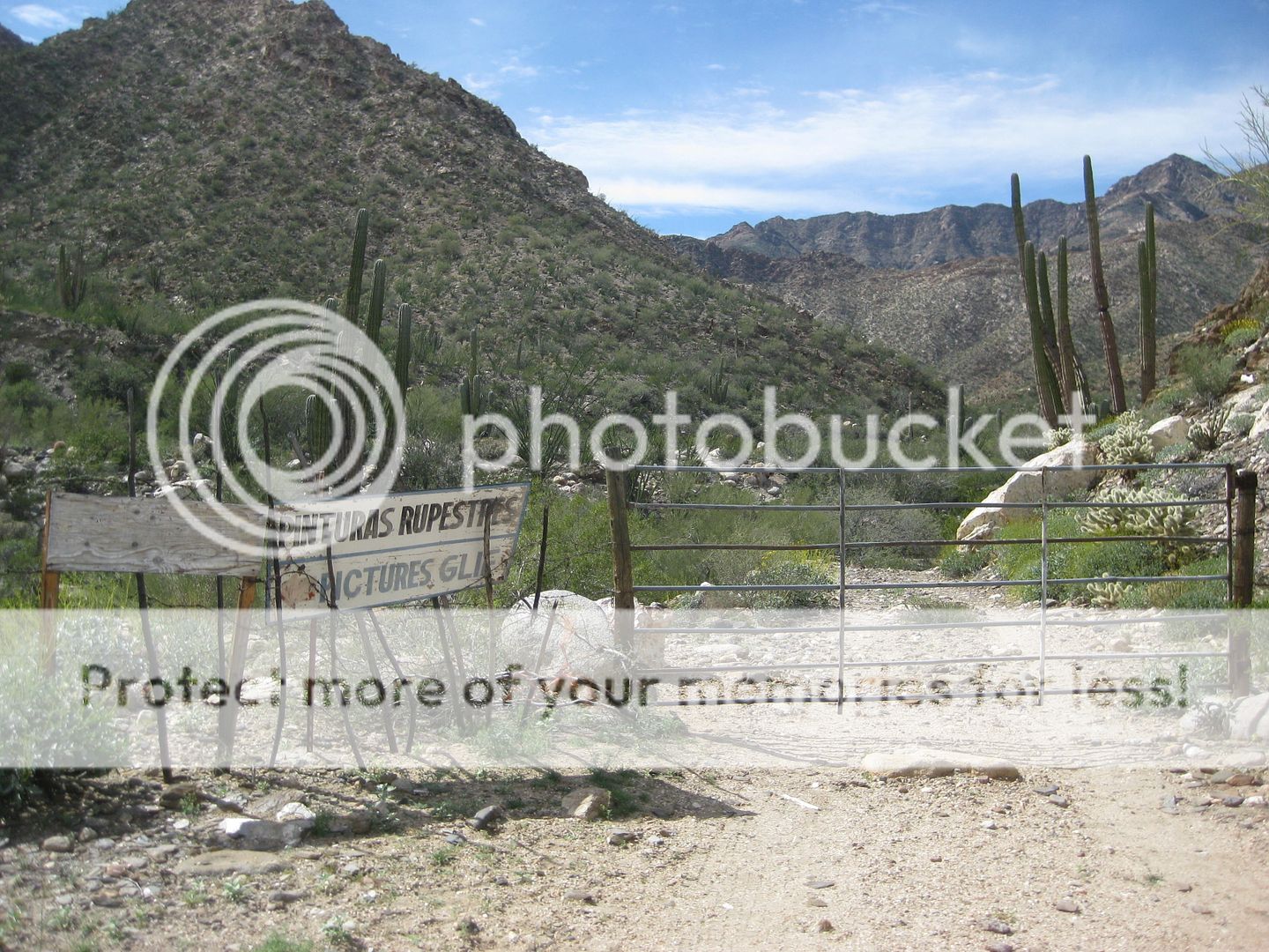
On Monday I walked up the wash to the rock art, but with 10 other rigs waiting there was no time to find the road that should go right from the corral where we stopped. A substantial fence was found at the rock art location which will prevent vehicle access in the wash to the mountain road. After exploring it may be necessary to get permission to drive to the spring and to the wagon road on up.
Rock art is not 15' higher than my last trip. Had to climb to use my camera. No report at this time pending a do-over.

David K - 11-6-2019 at 08:25 AM

Quote: Originally posted by PaulW  
Thanks for the link I always enjoy your travels. Photo of the Agua Caliente valley from the plane was by Lou with Wornout piloting in Trickle's C-182 plane.

BTW, Agua Caliente
On Monday I walked up the wash to the rock art, but with 10 other rigs waiting there was no time to find the road that should go right from the corral where we stopped. A substantial fence was found at the rock art location which will prevent vehicle access in the wash to the mountain road. After exploring it may be necessary to get permission to drive to the spring and to the wagon road on up.
Rock art is not 15' higher than my last trip. Had to climb to use my camera. No report at this time pending a do-over.


In 2017, the gate near the rock art was not locked. I drove through but was halted a short distance beyond by the end of the road from flash flood washout. A Jeep track was forged just to the left, but traveling alone, I did not risk attempting it. My 2017 Agua Caliente Canyon pics:


Water tank near canyon entrance.


Unlocked gate with signs pointing to painted cliff.


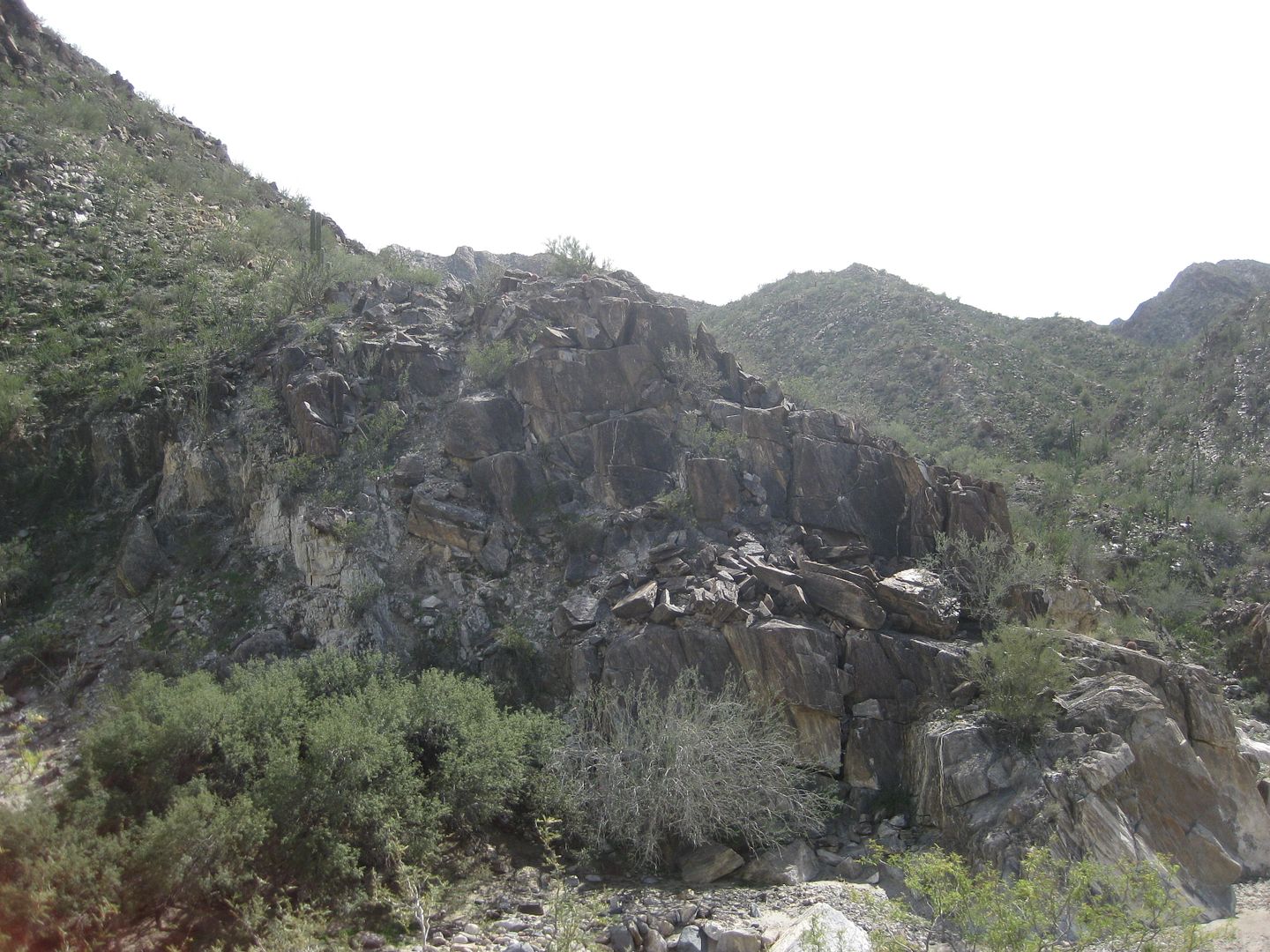
Painted cliff


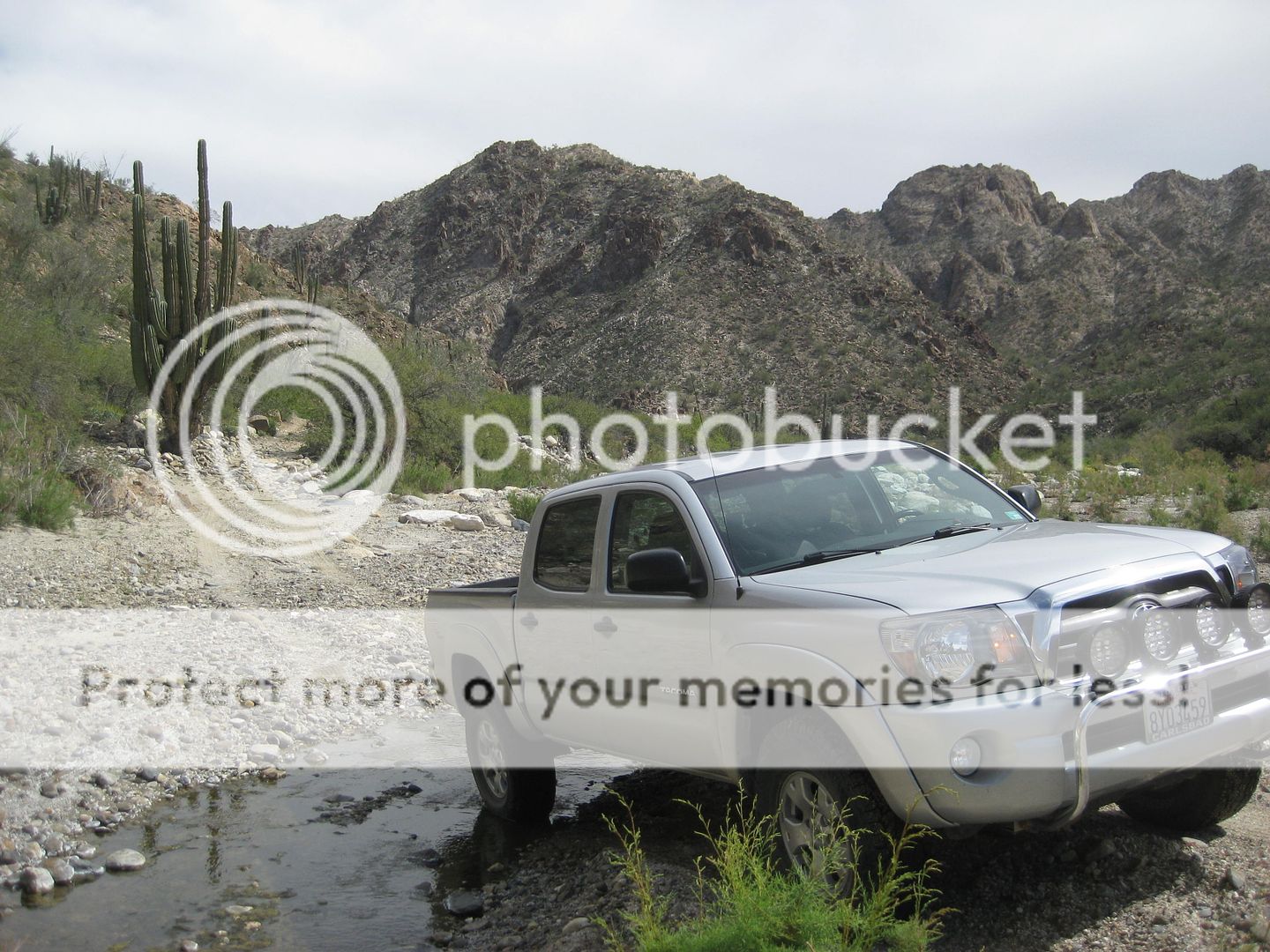
Stream crossing after the gate.


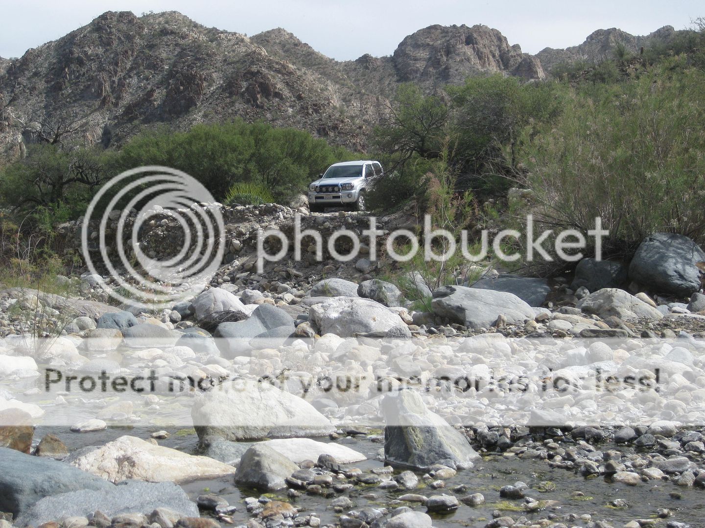
End of today's drive up canyon.

PaulW - 11-6-2019 at 08:51 AM

Monday

Rock art - high on the right


The fence at the rock art -- No gate


Ken Cooke - 11-16-2019 at 11:02 PM

That looks like some good camping. And with the current temperatures, perfect!:!:

ehall - 11-17-2019 at 05:29 AM

I have seen that ranch and the pools of water on google earth. Always wanted to check it out.