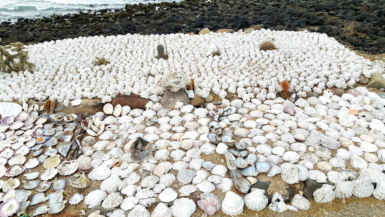
Quote: Originally posted by white whale  | #5 - I cheated. Your pic is great, you can see the pier faintly here. The SAT picture is a head shaker. Is there a story to this bay? Looks like some
machine help to get it to this state. Not big enough for a wiki P page but this MEX gov info page is a hoot to read.
Some travel posts say this is a private beach / private road. South of the photo sure looks like a airstrip(s) of years ago. ?
Divide route comes nice a close so worthy of an add to the map.
|
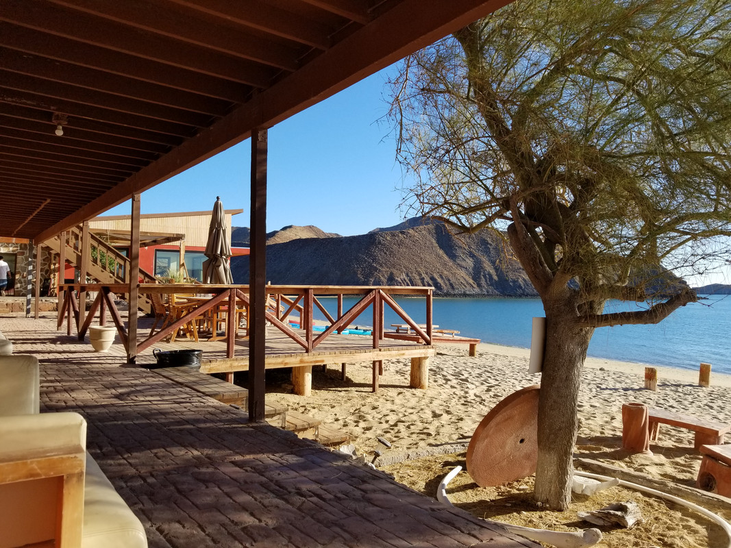
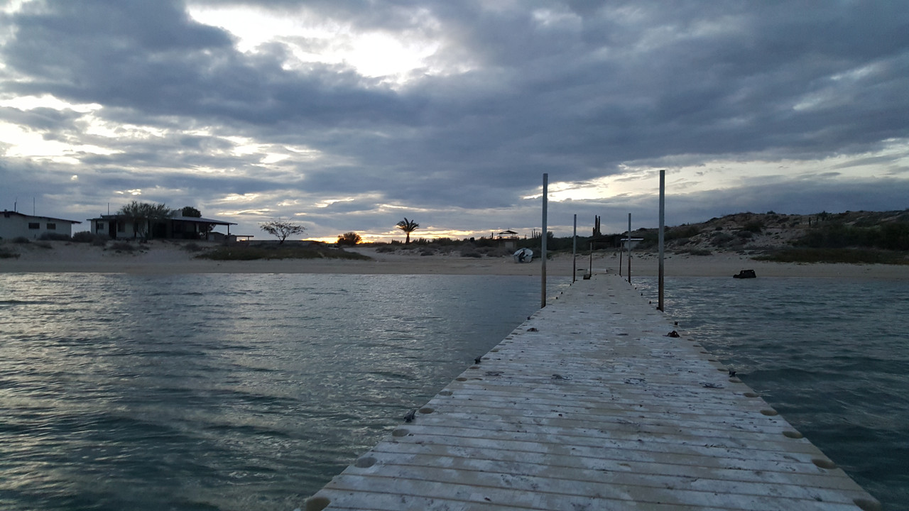
There are houses on the beach but nobody was home when I was there. The road in has a gate and signed to check in at the house on the left. I did
and Beto had no problem with us hanging out on the beach as long as we burned off any trash we put in the cans to the birds didn't pick it out and
scatter it. The road in goes past the airstrip, I assume it's the airstrip serving the "resort" just south of this. |