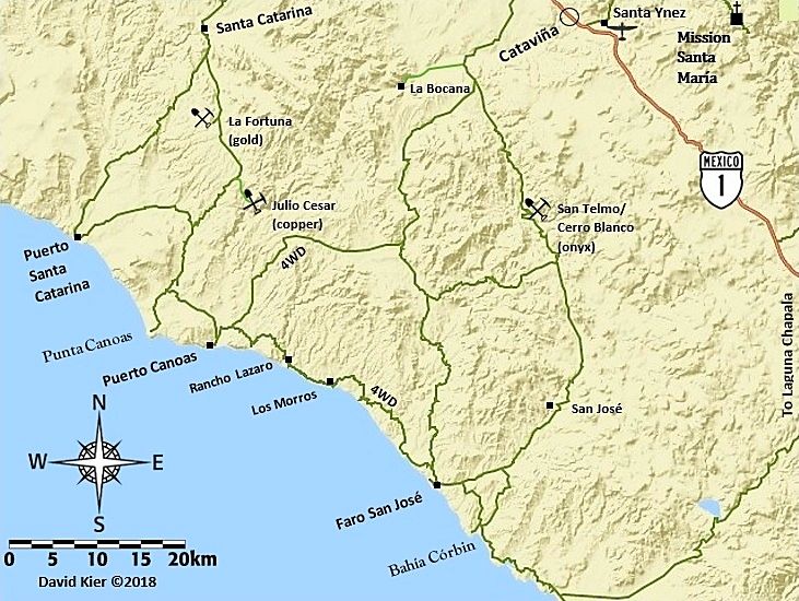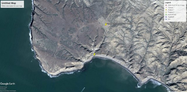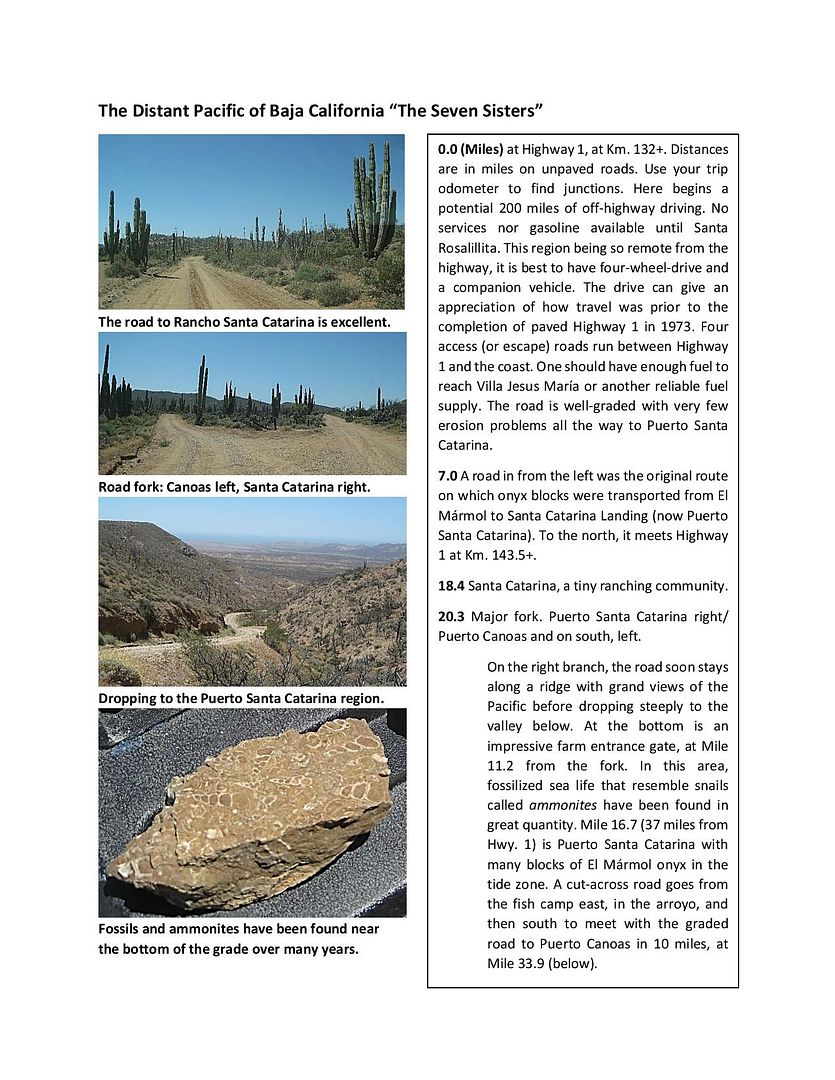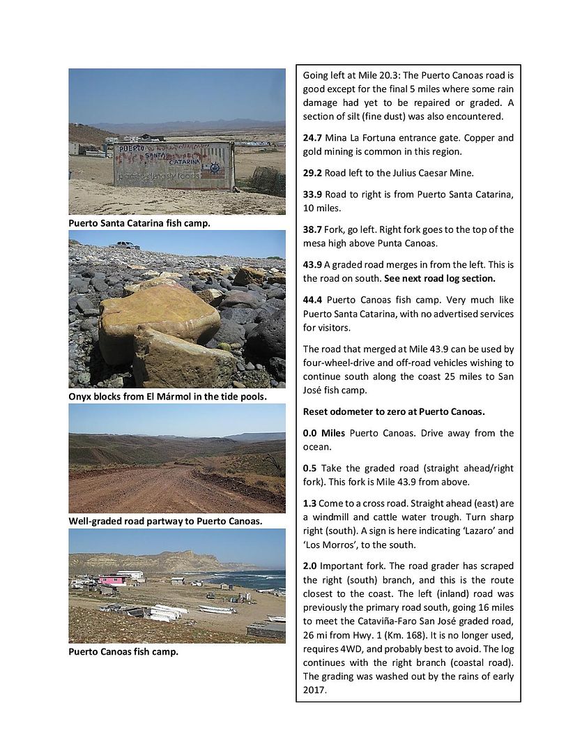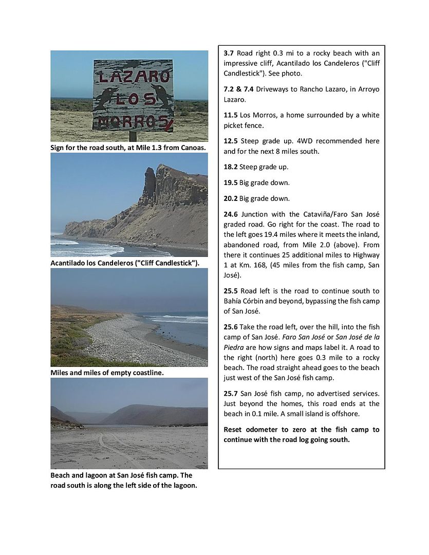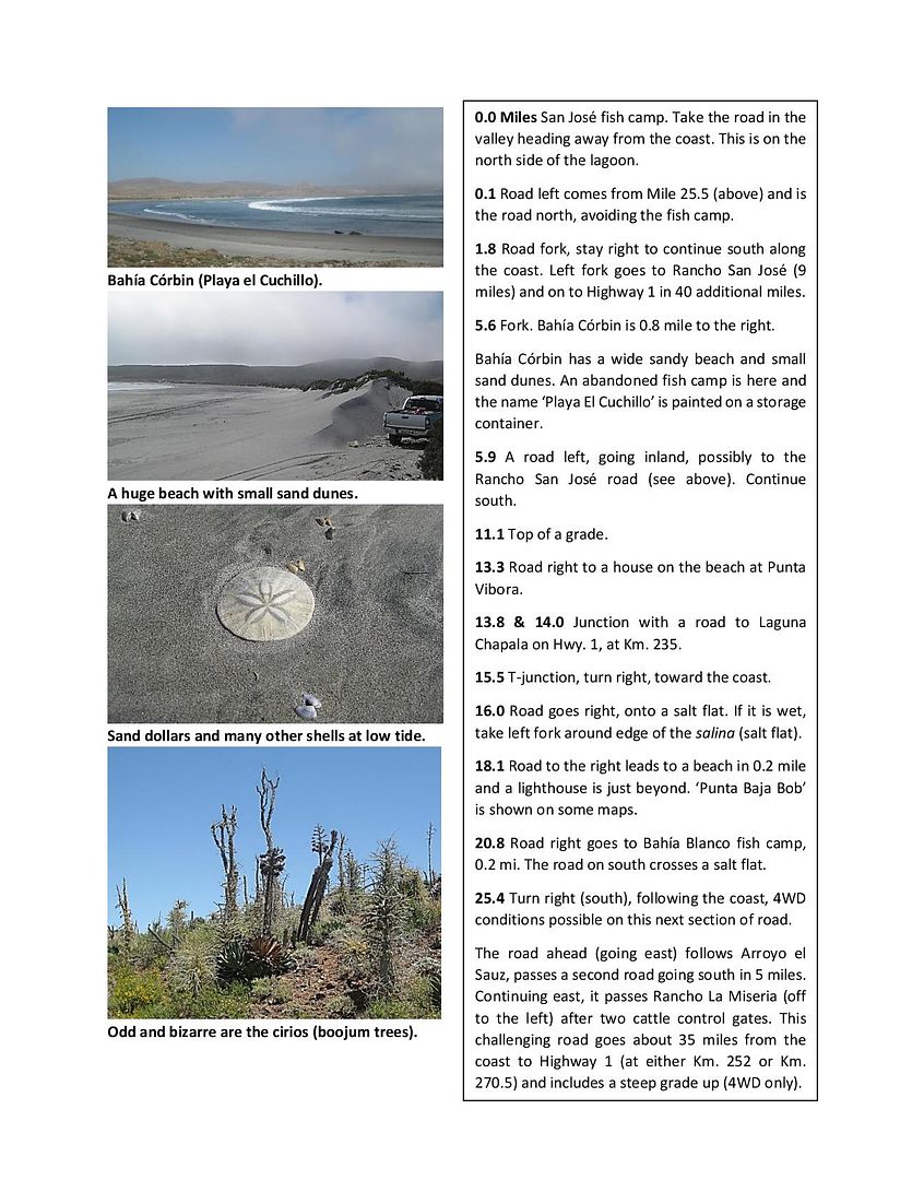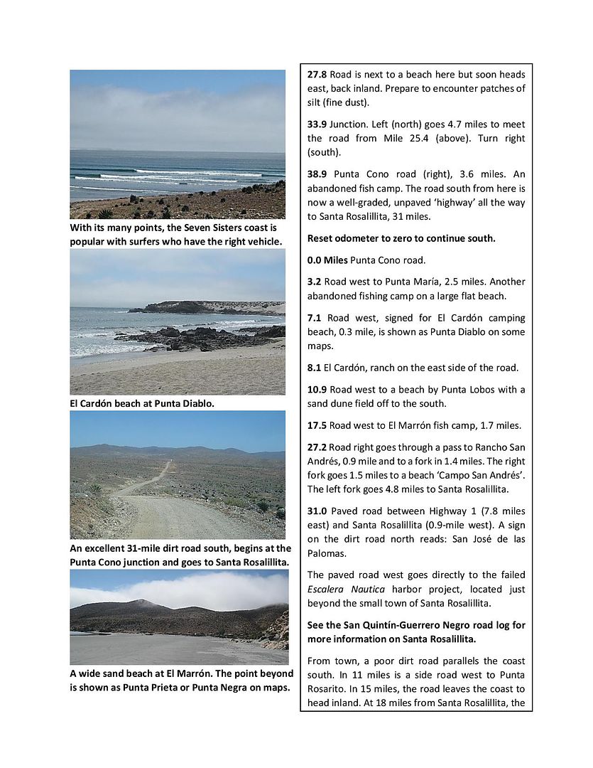
The village is at 29-26.900x115-10.880 and the ocean is about 1/4 mile south thru a canyon type drive to 29-25.900x115-10.880. If you look on Google Earth you can get an ideal of the locations. You really should take the turn off from Hwy 1 at KM132 at Guayaquil. It's marked for Puerto Santa Catarina. If needed a GPS track can be made using Google Earth. About 20 miles from Hwy 1 and about 2 miles past Rancho Santa Catarina is a fork in the road go left. They both will look like good graded roads. The road getting in can be confusing as you get close.
As to camping just find a spot that suits your taste. It's been a few years since I've been there so I don't remember what the beach area looks like. The beaches north of the San Jose area where the main road comes out from Catavina to the ocean are mostly rocky and to the south they are sandy.
[Edited on 8-29-2020 by TMW]

