wilderone - 1-20-2021 at 09:58 AM
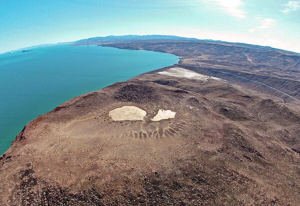
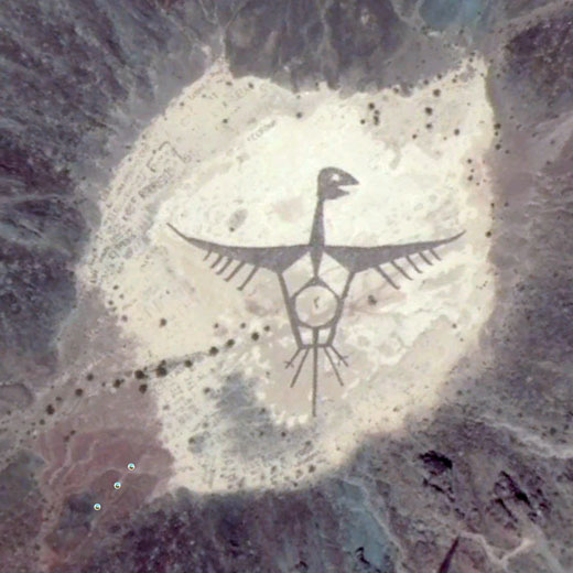
BAJA CALIFORNIA (KYMA, KECY)- What started as a project to create an identity for the Cocopah Tribe, Juan Hernández, professor of Visual Arts in
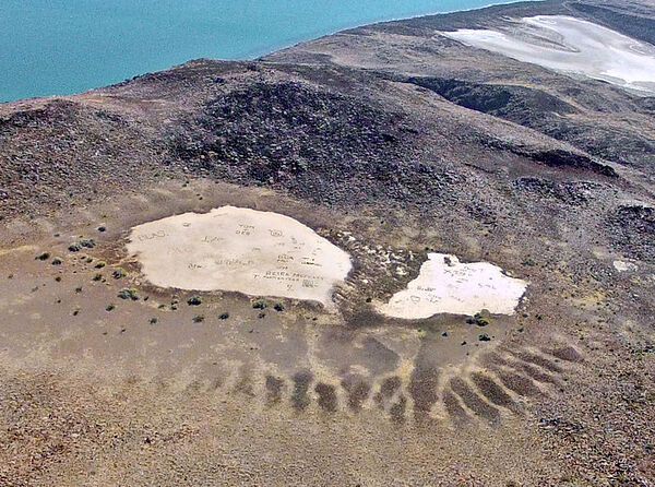
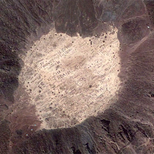
Mexicali, along with a team of more than a hundred people created a giant geoglyph of a sacred vulture inside the Cerro Prieto volcano. The Cerro
Prieto volcano is located 18 miles southeast of Mexicali, in Baja California.
The image went viral around the world, being seen on satellite images on Google.
“The volcano is a source of energy, and the bird represents the connection between life and death. The vulture eats dead creatures and what comes
out of it is manure, which is the fertilizer that brings life,” says Juan.
Members of the Cucapá tribe live in that region, where they settled near the U.S.- Mexico border. The Aura vulture is considered a sacred animal to
the tribe as it is a symbol of death and purification.
Click this link to see the volcano and geoglyph on Google Earth.
The geoglyph is 200 meters long with extended wings spanning 190 meters. The volcano is open to the public and can be seen at the peak of the
mountain. According to the Smithsonian Institute, the Cerro Prieto dome was roughly estimated from paleomagnetic evidence to have formed during a
series of events between 100,000 and 10,000 years ago.
Cocopah Indian legends described a monster that covered the land with hot rocks, which grew through the soil and emitted fire tongues, a possible
reference to the volcano's growth.
Antonia Torres Gonzales is a member of the Cocopah tribe and is a promoter of its culture.
“We are the first people. We have more than 3,000 years in the region. Our ancestors settled in the delta of the Colorado River thousands of years
ago, and we are still here," says Gonzales.
The Cerro Prieto is free to visit, and you can park by the foot of the volcano. To get a view of the vulture, you are required to hike to the peak of
the hill.
https://kyma.com/news/2021/01/14/special-report-cerro-prieto...
elgatoloco - 1-20-2021 at 02:48 PM

StuckSucks - 1-20-2021 at 03:16 PM
Click this link to see the volcano and geoglyph on Google Maps.
TMW - 1-20-2021 at 03:29 PM
Back in the late 80s and early 90s Lou Paralta was the promoter for Baja Promotions Racing and ran several races near the volcano site. One time
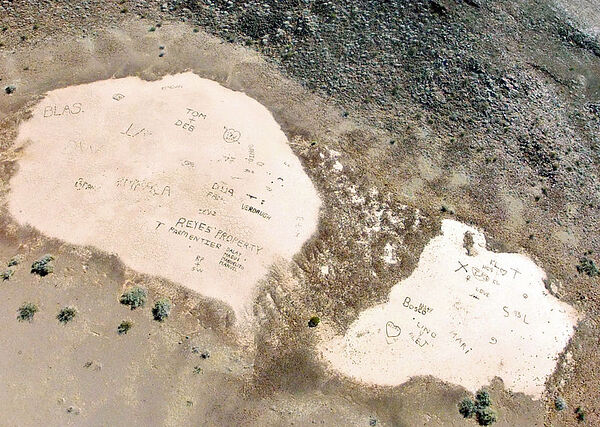
(not sure when) some of us went up to the top to see what was in the volcano. I don't recall a large bird as depicted on Google Earth now but there
were several white painted rock formations of various designs in it.
There is a bird similar painted on the cliff rocks near Alton IL. on the Mississippi river north of St Louis and is called the Pisaw (sp) bird. It is
said to be a symbol of the local Indian tribe that was there years ago.
geoffff - 1-20-2021 at 09:30 PM
I'm not sure that geoglyph will last long. Google Earth historical photos shows a long history of people reconfiguring those stones for new "glyphs".
geoffff - 1-20-2021 at 09:44 PM
There's also Volcan Prieto, south of Puertecitos, which I think looks a bit like a smiling skull.
