1919:
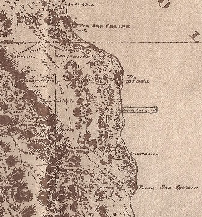
(note east of Agua Caliente: 'Agua Charley' circled on the coast... later Mexicanized into 'Agua de Chale' and today is Nuevo Mazatlan. Named for a well dug by 'Charley the Chinaman' to water his goats.)
1930:
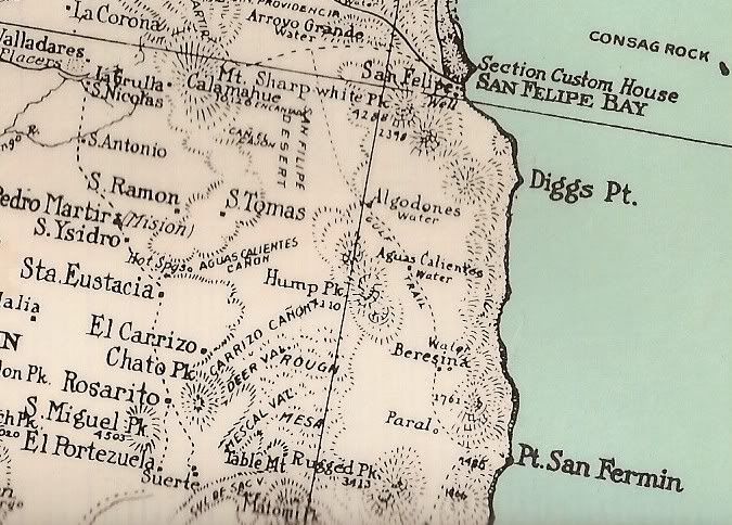
Great map for detail, but some errors: Algodones shown too far east, a second Aguas Calientes shown, 'Paral' too far east...
1941:
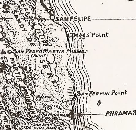
(note: 'Unexplored') in Valle Chico
1962:
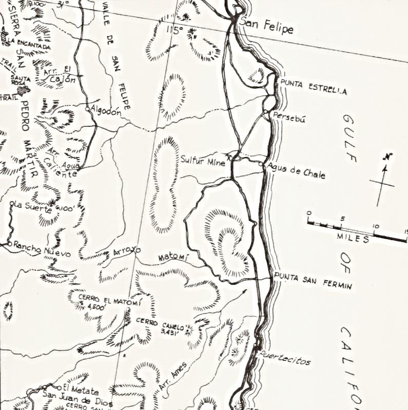
Howard Gulick (Lower California Guidebook) made the first modern, accurate maps of Baja.
1972:
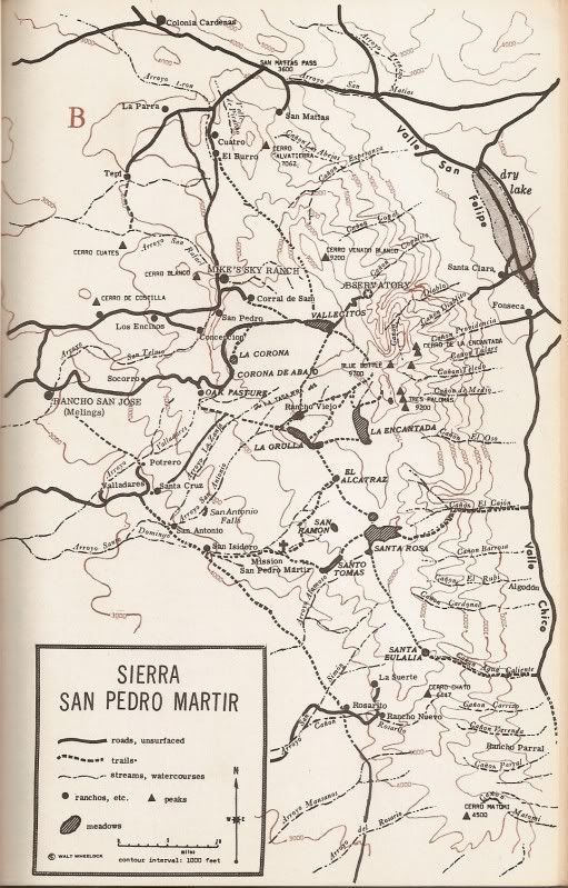
(Third edition of 'Camping and Climbing in Baja', detailed the roads and canyons facing Valle Chico in 1967)
1975:
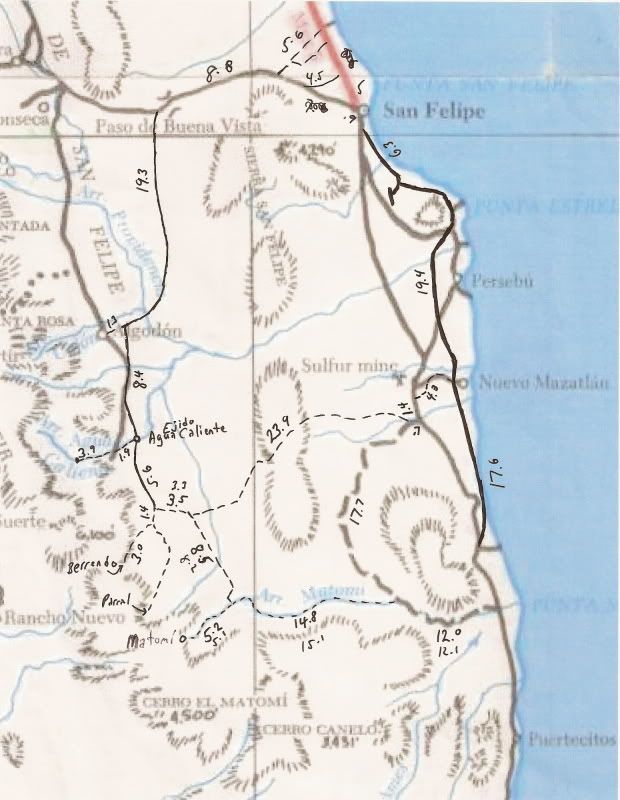
(some additions by me in '06 to the Baja Calif. Guidebook map)
1982:
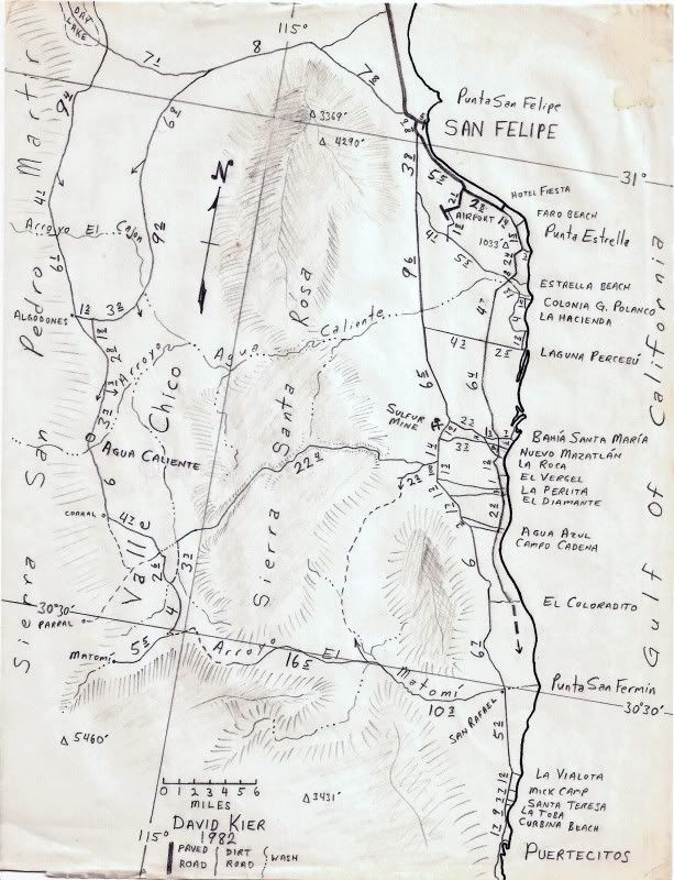
(One of my maps)
2003:
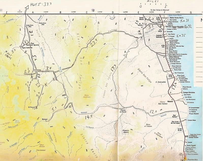
(Baja Almanac with additions by me in 2006, every road showing a mileage I have traveled. X'ed roads were abandoned before my first map trips in 1978.)
2008:
Nat'l Geo. map with long abandoned old roads and missing some other roads.


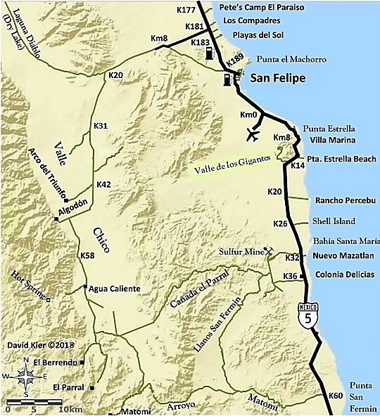
 upload online picture
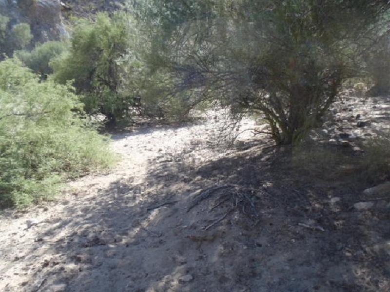
 gif upload
 upload my picture
 web upload image
 photoupload
 images shares