David K - 9-6-2021 at 12:38 PM
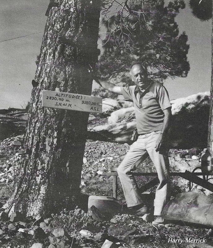
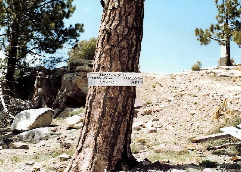
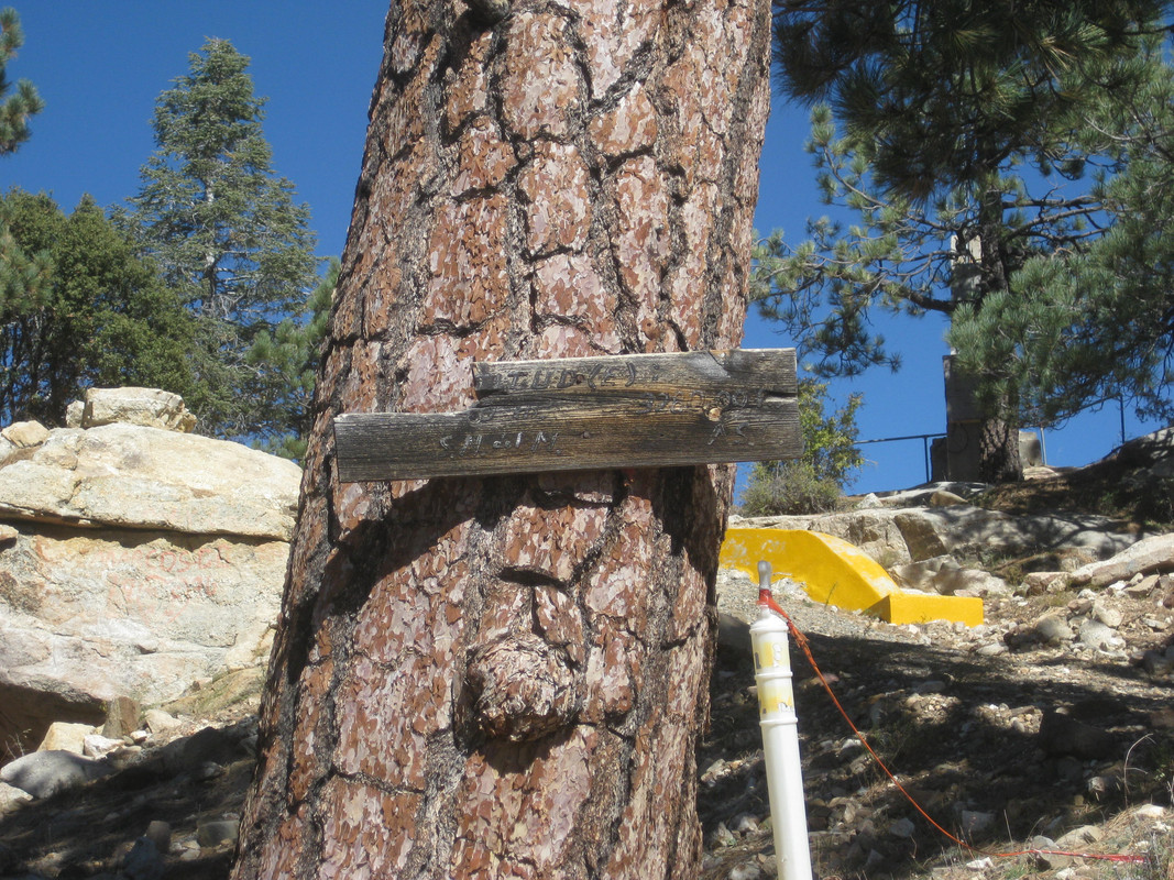
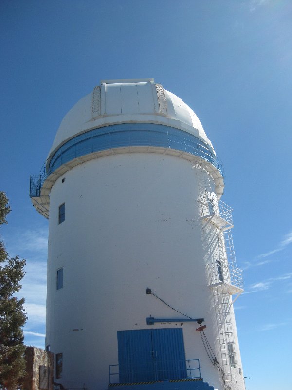
Just beyond the Km. 100 post and in front of Mexico's largest telescope observatory is this sign. The first photo is from the 1974 Baja Traveler
(photo may have been from an earlier year). The second photo is one I took up there in June 1978, after watching the Score Baja Internacional ('500'),
near Mike's Sky Rancho. The third photo I took in October 2017 while doing research work for the Baja Bound guide and map. The observatory supervisor
did not know what the sign was all about and was pleased to learn the history of it. I emailed him my 1978 photo.
1974:

1978:

2017:

Observatory:

Baja's highest mountain 'Picacho del Diablo' (10,154') as seen from the observatory at 9,280' and roughly 5 miles distant. San Felipe is on the other
side:

[Edited on 9-6-2021 by David K]
PaulW - 9-8-2021 at 08:31 AM
Interesting. Is that elevation the tree or the observatory or somewhere else?
Hard to find the elevation from the topo for the tree place. I guess it is on the road by the tree from a GPS device.
Maybe a surveyor determined it when the build the observatory?
I find the elevations along the highways in the states that were determined by the surveyor who layed out the road are hard to validate with my
several GPSs.
Yes I know the GPS is not very accurate for elevations, But 100 or more feet difference seems a poor comparison.
David K - 9-8-2021 at 08:39 AM
The tree is next to the road, at the observatory parking area, maybe just 200 feet from the building. The observatory pictured was not there when the
sign was photographed the first two times. It was built and went into service in 1979.
Indeed using Google Earth to get a fixed ground elevation may not be close.


