David K - 10-1-2021 at 02:11 PM
With the Transpenisular Highway and other major changes on the peninsula, rather than adding update notes to the 1967 edition of the Lower California
Guidebook (re-printed in 1970), and the '67 book was the same as the '62 book but with update notes... the publisher consented to allow Baja writer
and publisher (La Siesta Press) Walt Wheelock to do a full makeover of the famous guide and give it an updated title. Original guidebook author and
map maker, Howard Gulick (who worked at the same business as Walt, in Glendale) agreed to check over the new work... and his name was included in the
by-line.
Instead of map pages in the back of the book, removable, folded sectional maps (3) were in the back cover pocket.
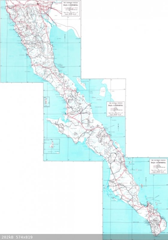
I considered these 1975 maps to be the best at the time to accurately show the location of the new highway. The San Quintín to San Ignacio section
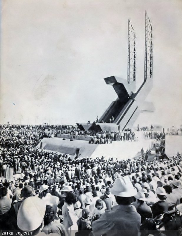
was all done in just one year (Nov 1972- Nov 1973) and was officially opened on Dec. 1, 1973, by the president of Mexico, at the new Eagle Monument:

Nomad 'geoffff' stitched together the three maps... click the link and click a second time to enlarge for high detail...
HERE: https://octopup.org/img/media/maps/baja/1975--Baja-Californi...
Low resolution image:

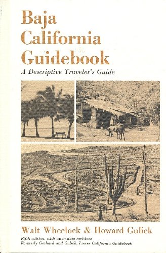
The book:

David K - 10-1-2021 at 02:17 PM
In 1980, a second printing (with new cover) was issued. There were no changes in maps or text that I could see...


