Community Walk Created by Lou Wells (BajaLou) still accessible with the attached KML
The link is still usable by clicking find places, pictures, roads, and coordinates. Lou generated this stuff before 2005.
I have another version of Community Walk that seems to be another of Lou's work, but it is a KMZ 2127KB and this forum does not allow a file so big
to be attached. It has the details for the whole peninsula =, if you want it send me a message with your email and I will send to you. Ask for
“Peninsula Trails”
BTW, I had dug these file off the Internet in 2015. Used them a lot back then and rediscovered them today when I was cleaning up my computer.
Attachment: CommunityWalk_50099.kml (154kB) This file has been downloaded 209 timesDavid K - 10-7-2021 at 05:29 PM
Thanks Paul.
Lou was a wonderful man and great Nomad. It was so good to know him and explore with him a couple of trips (2004 El Parral & 2011 El Volcán). We
also attended his final turkey feast (New Years 2009).
There are two push pins south of Matomi, Arch and Natural Arch separated by some space. Are there two, if not, which is correct? I assume the one at
the end of the track.PaulW - 10-8-2021 at 06:53 AM
I only see one arch on the Commiunity link
However Lou's pin is in the wrong place
Some images showing the real place as driven by me at the end of that track. The arch is about 100' N of the furtherest notheren track where my pin
is.
Kml file attached
Image of the track
Attachment: Matomi Arch.kml (216kB) This file has been downloaded 197 times
StuckSucks - 10-8-2021 at 08:47 AM
PaulW, wish I had your map when I headed in there this spring. When I entered that final valley, I stayed on an old road which hugged the hills on the
north -- the road fizzled out and I never made it. Also notable while out there, I got dumped on by a big storm, it left the ground covered in hail. PaulW - 10-8-2021 at 11:28 AM
Very fait exactly when you need the trackJZ - 10-8-2021 at 11:47 AM
So the arch is at the end of your purple line?
How difficult is that drive from Hwy 5?
PaulW - 10-8-2021 at 02:08 PM
Correct end of my track. Up the hill a bit to the N.
Matomi has deep sand unless there has been recent rain dampness.
Just about a 4x4 will drive easily with reduced tire pressure regardless of dampness.
Like Stuck said please use your gps by grabbing the track from my KML. The road is hard to see due to the type of ground and minimal ground cover and
there is a Y and the place wher the road/trail is hard to see -- keep right if you can see a trail.StuckSucks - 10-8-2021 at 02:09 PM
Not hard, drive up Matomi Wash from 5. The road into Puerto El Parral is a little hard to locate, but with Gaia, no issues. The road after that is a
not-well-traveled two-track.
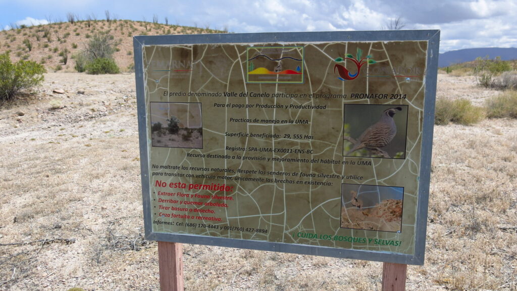
You will pass this sign on the way into Puerto El Parral:
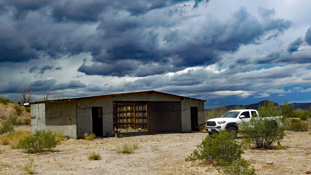
Then you will pass this building, in April it had a quad in there.
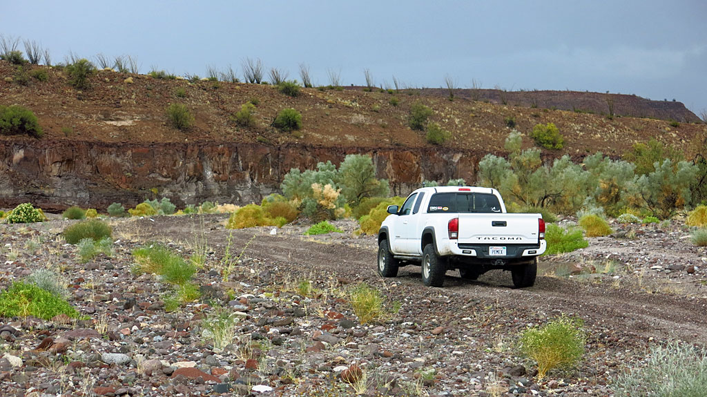
Matomi:
[Edited on 10-8-2021 by StuckSucks]PaulW - 10-8-2021 at 02:16 PM
When they dedicated the park the building and a smaller one was built.
I was there shortly after dedication, and they had many tables and chairs in front of the building.
They evne had a substantial gate that was unlocked, and it has also disappeared.