With the Baja 1000 using the La Turquesa Grade and their GPS map using Google Earth imagery from before Hwy. 5 went past the area, I checked ArcGIS
and see that they have imagery from about this year since it shows Hwy. 5 completed plus the fancy connections with Hwy. 1, and the Puertecitos road.
ArcGIS is a mapping website that has various layers for map making. The satellite layer imagery for Baja is new since I last looked. It would seem to
be from late 2020 or early 2021 (before Coco moved). The previous imagery in here showed the highway under construction, maybe about 2017.
Seems like more areas are in High Def as you can see all of El Camino Real west of Gonzaga that was too blurry before on Google Earth.
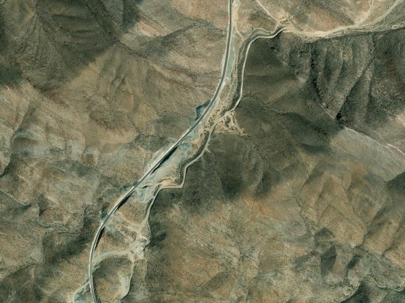
Las Arrastras (new site for Coco's Corner) where old route and new route split (Km. 179.5)
In the canyon, where old route and new route reconnect (Km. 190+)
At Hwy. 1, Laguna Chapala (Hwy. 5 Km. 201+/ Hwy. 1 Km. 233.5)
PaulW - 10-27-2021 at 08:36 AM
Can you capture Turquesa for us?David K - 10-27-2021 at 10:06 AM
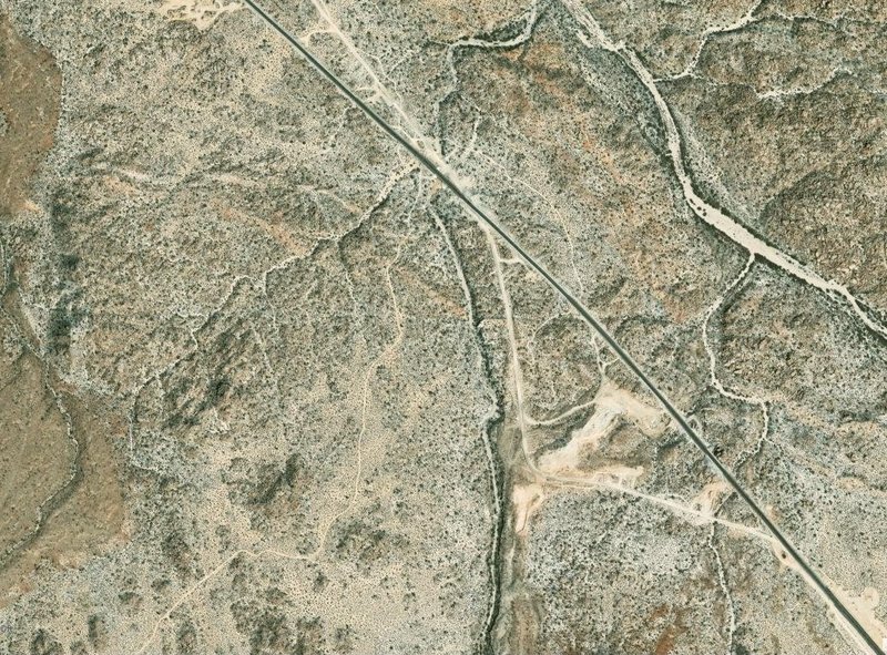
You were not specific on what Turquesa you wanted to see, so I did three:
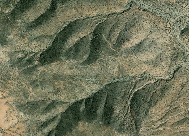
1) The grade
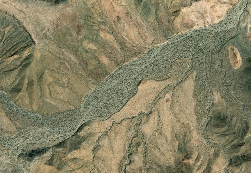
2) The bottom of the grade to the mine (higher up image to include all)
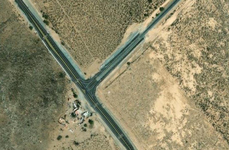
3) The Turquoise Mine road meeting Hwy. 5 (Km. 176)