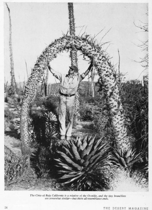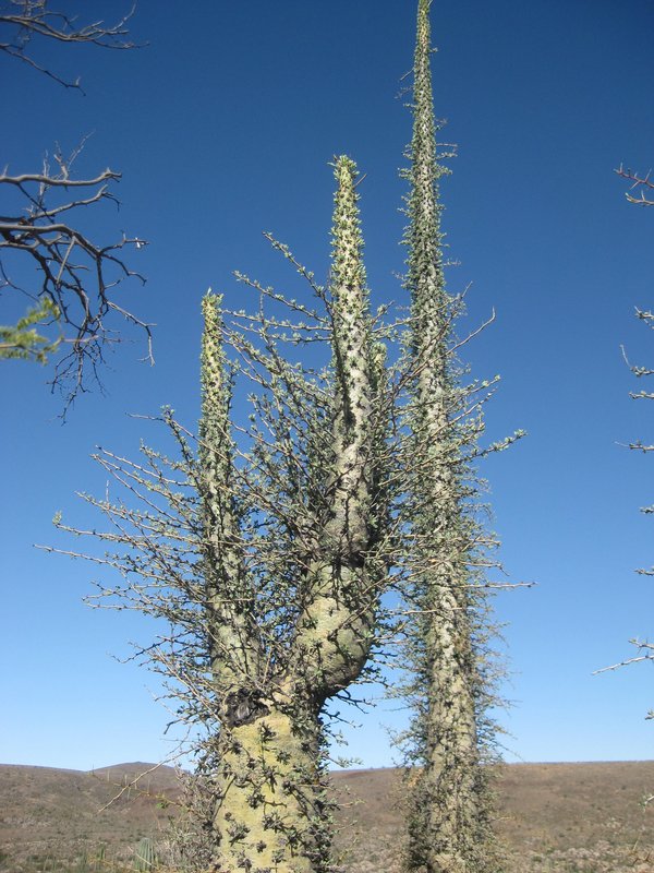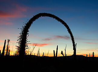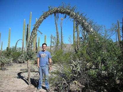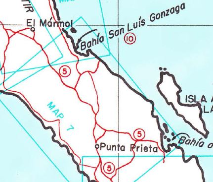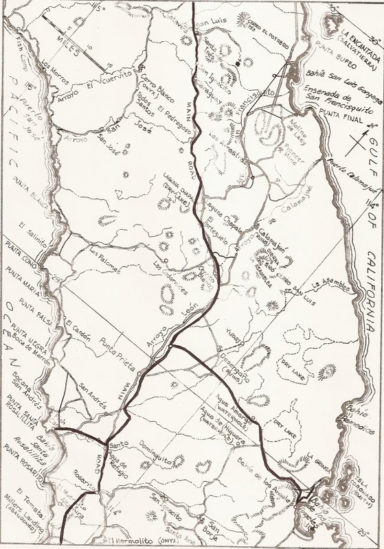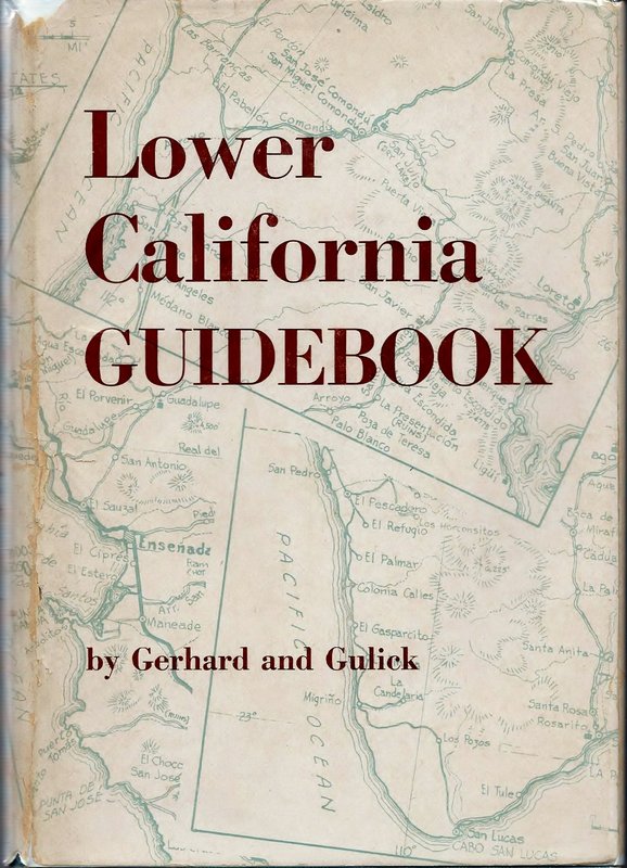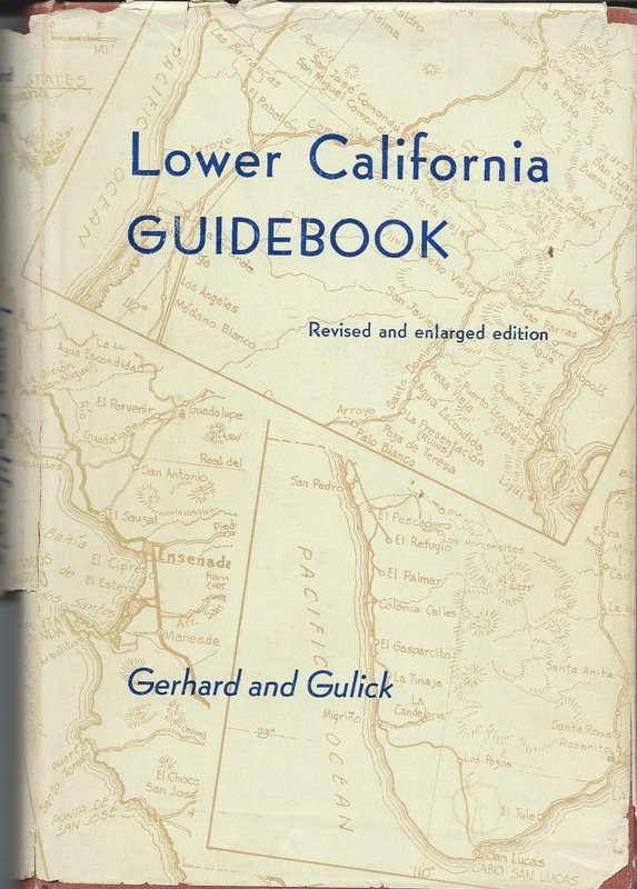
Later in the book by Krutch he mentions using Gerhard & Gulick. The Boojum hunt trip was April 1958. There was an updated Lower California Guidebook published in 1958 and the previous edition - more likely the one used by Krutch was published in 1956. The '56 edition maps show the road most likely followed by the photo hunters from Bahia de los Angeles through Aqua Amarga, Desengano, Punta Prieta, onto El Marmol lastly to Puerto Santa Catarina near where their search ended. (Spelling police note that the spellings I used are from the Guidebook.) -
So, Geoff, there is the route to rediscovery. And, there are more clues - Lewis Walker made copies of 6 of his photos for Krutch and noted the locations where the photos were taken on the back of the photos - so now that seems pretty easy. Just get the six copies carried by Krutch and the others and see what information they provide. Krutch does indicate that they were visible from the "road."
John

