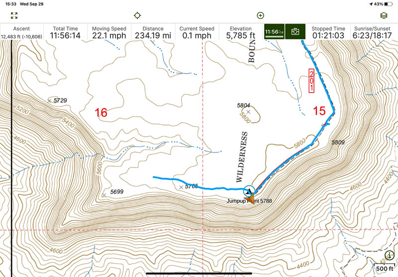
I am a paper map guy, but am leaning towards getting the Avenza digital version of the Benchmark Atlas. The paper version is a little hard to read
but it has great detail on roads.
I was driving west on Hwy 3 a month ago, and wanted to turn north at the km 55 turnoff to Laguna Hanson. However, it has a big dirt berm and a fence
across it now! So I broke out the Benchmark map, found an access at km 46, signed Vincola winery that went to the Laguna Hanson Rd. via the "Coyote
Junction" near "El Coyote". So I drove north a ways, then east, took wrong turn at "Poblada Puerta Trampa" a tiny farm town and got lost on some
dirt roads among the trash dumps on the outskirts of Puerta Trampa.
I used my GPS to determine my lat / long and using the coordinates on the edge of the map I could actually see the tiny dirt road I was on and found
my way back to the main road. It is not a satellite map but pretty impressive accuracy as a road map.
One criticism is that Benchmark dropped the names of many places, for example, it does not show El Coyote, a cluster of dwellings just south of La
Huerta and a well known landmark at a junction that is shown on many other maps.
I wonder why someone closed the main access road to the National Park from the south? The berm and fence looked like an amateur job, just sticks and
barbed wire. Now you have to approach the Laguna Hanson Rd. via Puerta Trampa coming up from Valle Ojos Negros.
|


