Quote: Originally posted by StephandBlake  | Hello. New to BajaNomad!
I am interested in apps for my iPhone/iPad as well as maps I can access on my laptop that show not only roads (including jeep roads) but also names of
geologic features (canyons, streams, peaks, etc.). I am particularly interested in apps that allow downloading maps for use in the field when there
is no internet access. Normally we use Gaia while in the US, but their map of Mexico is not very detailed.
What do you recommend? Thanks! |
Thanks, Harald. I'll have to take some time to look further into your recommendations.
I am out in the field every week at least once.
Among all apps Gaia GPS with Mexican topo maps (INEGI) is the best
all others are far behind in detail
you need to preload all needed tiles of the topo maps when online
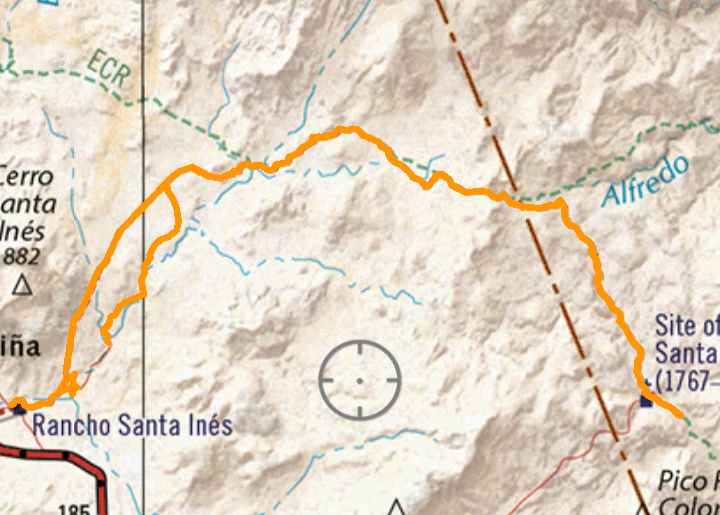
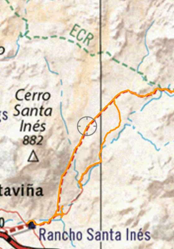
Avenza with Benchmark's Baja California Road & Recreation Atlas is not useful for hiking or details when used on a phone
it is OK for a general overview on the iPad or computer
I prepare for all trips with Google Earth and download the needed image files for offline work.
I was out scouting yesterday and the final decision which trail to take was without exception left to Google Earth. The 1:50,000 topo maps do not have
enough detail for delicate trails.
That's why hiking maps (if available) are 1:20,000
for that reason I sometimes download 1:20k topos directly from INEGI and keep them on my laptop.
I found that a lightweight laptop beats any tablet when it comes to document use.
for 1:20k maps: https://www.inegi.org.mx/temas/topografia/#Descargas
|


