Now I know where I was! I explored those roads not too long ago....no maps or GPS, just a drive about wondering what was down there.
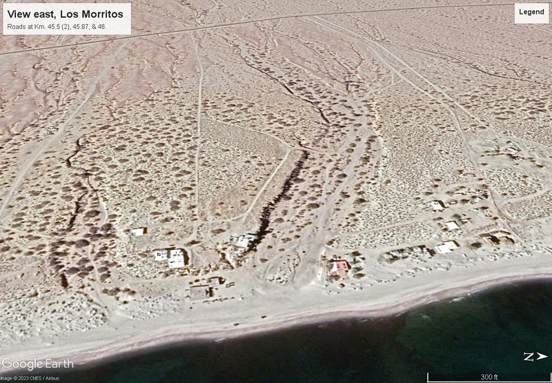
The building on the beach (left of center) looked like a commercial warehouse or shop building, but I don't know what the nature of the business would
be. It seemed to be a bit too exposed to the surf for a fish camp, but there were a couple of boats around the building. |