geoffff - 4-14-2023 at 12:02 PM
Thanks!! to DavidK for alerting me to a 1954 Howard Gulick photo of Rancho Codornices (which I visited earlier this year).
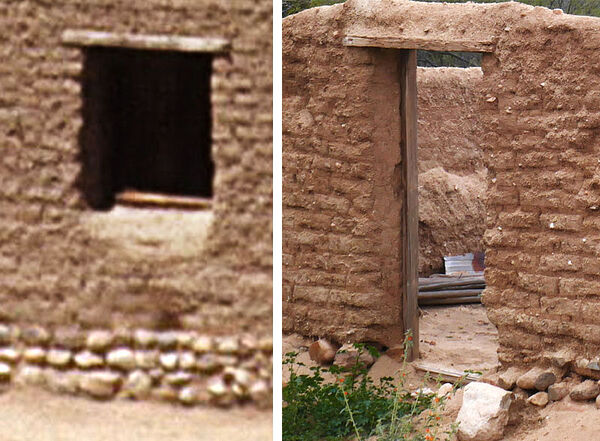
Here are some before & after comparison images using the some of my photos.
A close look at the individual adobe bricks lets me verify that this is exactly the same building. It's curious that the building's window was
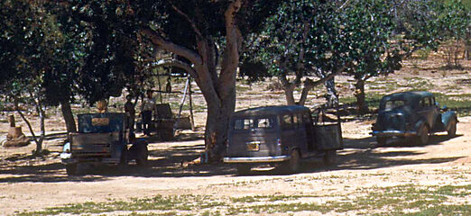
converted into a door at some point! And I can see the well in the background, just to the left of the tree in the Gulick photo, just where I spotted
a covered hole.
(click to enlarge)


Lance S. - 4-14-2023 at 12:21 PM
Oh my gosh, loving it !!
geoffff - 4-14-2023 at 12:22 PM
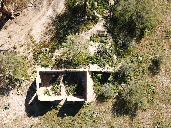
Some of the other structures are visible in my drone photos


geoffff - 4-14-2023 at 12:29 PM
Old cars, and well

David K - 4-14-2023 at 12:35 PM
Awesome!
PaulW - 4-15-2023 at 01:43 AM
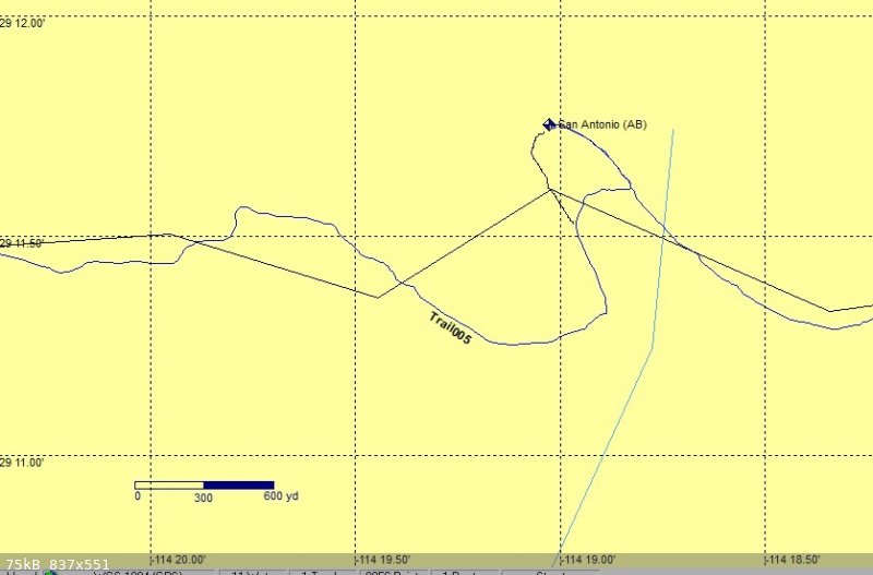
GPS screen shot for the loop route to the ruins. We cut the small bushes near the big tree to allow the black line drivable.
As you can see the ruins are not on the main road so it is easy to miss the place at 29 11.74873, -114 19.0242

David K - 4-15-2023 at 10:08 AM
Yes, while the ranch site was on the road for decades, a few years ago a shortcut was made cutting the north bump loop in half (Score?). I missed
seeing the ruin in 2017 because I took the shortcut, following the most used tracks.


