BajaNomad

NEW at VIVABAJA.COM/MAPS:

David K - 2-10-2024 at 01:57 PM

https://vivabaja.com/maps :

1858 Map of the Californias & New Mexico by Theodore Ettling
1803 Pacific Coast Map (San Diego to Punta Abreojos)

David K - 3-1-2025 at 12:50 PM

Wow, so many more maps have been added since this post of February 2024! See them at:
https://vivabaja.com/maps

AlanDavid90 - 5-27-2025 at 11:20 AM

Let me know when you upload regional maps and city maps of Baja California and Baja California Sur, no matter if they are detailed or tourist maps.

David K - 5-27-2025 at 01:13 PM

Thank you for your comment!
This is over a year-old post... I am frequently adding more Baja maps. Since the Nomads who post here are so few, I may not always make a Nomad announcement.
However, I do make new additions known in my "What's New at VivaBaja.com link, at the top of my website:

https://vivabaja.com/whats-new-at-vivabaja-com/

Here are the lines on that page today (go to that page to have clickable links to al of these:

NEW at VIVABAJA.COM:

May 2025 Northern Baja Expedition (coming soon)

Pozo San Francisquito (under construction)

Mission El Descanso webpage

1597 Map showing all of California and western Mexico, including the mythical 7 cities of Cibola

The online Baja Bound Road Guide

2003 Baja 500 and down Mano Canon to Guadalupe Canyon updated page

1974 Score Baja Internacional album added to Photographs page

More now (article links) on the Jesuits mission page: https://vivabaja.com/missions1/

More now on the Franciscan & Dominican mission page: https://vivabaja.com/missions2/

History of Mission San José del Cabo Baja Bound article in March 2025

History of Mission San José de Comondú Baja Bound article in April 2025

Circa 1899 Baja California Map

Topographic Maps of popular locations

Updates, new topo maps made: 1684 Expedition Route to the Pacific by Admiral Atondo completed at the new 1″ = 1 km. scale.

2003, 2009, and 2015 Baja California Almanac Map Books are all preserved for up-close viewing.

Updated info on the Driving in Baja page (Feb. 6, 2025 updates)


Lance S. - 5-27-2025 at 03:14 PM

That trail from Canosa to Visitacion bay on the 1858 map is interesting. Is Visitacion bay San Luis Gonzaga?

David K - 5-27-2025 at 09:25 PM

At or next bay from Gonzaga, per Consag in 1746. Let me study the 1858 map...

Lance S. - 5-28-2025 at 07:55 AM

Have you ever come across any reference to goods being unloaded at Gonzaga, carried across the peninsula, then loaded onto ships bound for Alta California?

4x4abc - 5-28-2025 at 08:56 AM

Quote: Originally posted by Lance S.  
That trail from Canosa to Visitacion bay on the 1858 map is interesting. Is Visitacion bay San Luis Gonzaga?


that map has so many mistakes that everything has to be viewed very cauteously

no other map shows any trails between Canoas and Bahia Visitacion
La Visitacion in itself is still a mystery
Visitacion would indicate a Jesuit Visita
but no signs around there anywhere

since the mid 1800's was the beginning of the mining frenzy it is possible that there was a possible connection between Canoas and Visitacion

The early Shell map has an intriguing trail between the Geyser NE of El Marmol and San Felipe
I found convincing traces of it on Google Earth

David K - 5-28-2025 at 09:10 AM

Quote: Originally posted by Lance S.  
Have you ever come across any reference to goods being unloaded at Gonzaga, carried across the peninsula, then loaded onto ships bound for Alta California?


Dominican padres going to their founded missions (El Rosario and north) would sometimes travel by ship to Gonzaga then overland. The warehouse at Gonzaga indicates cargo deliveries also occurred. However, much of its use may have been by the Franciscans for San Fernando de Velicatá and San Diego.

Lance S. - 5-28-2025 at 09:16 AM

Consag may have arrived on the day of the feast of the Visitacion, I will read his report again. Did he find water there?

There's also a warehouse at Gonzaga? I only knew of the one at Puerto Calamajue.

Early mining route sounds plausible.

[Edited on 5-28-2025 by Lance S.]

Lance S. - 5-28-2025 at 12:04 PM

Harald, there is a trail from Santa Maria to San Filipe on older maps which may be the same trail. 1884 for example. Does the trail you found pass through Santa Isabel? Always wondered where exactly that is.

David K - 5-28-2025 at 12:35 PM

Quote: Originally posted by Lance S.  
Consag may have arrived on the day of the feast of the Visitacion, I will read his report again. Did he find water there?

There's also a warehouse at Gonzaga? I only knew of the one at Puerto Calamajue.

Early mining route sounds plausible.

[Edited on 5-28-2025 by Lance S.]


My apologies for not responding sooner... Earlier, I was on my phone in my recliner and I am a bit too challenged to access my PC folders using my phone but it is possible with a new Chrome feature.

1) That tiny dotted line across the 1858 map is not a trail (IMO) but a boundary, such as the northern limit of Jesuit control or some other kind of municipality/ political district. Trails are thin solid lines. Look at Alta California on that map. A similar dotted line crosses the Mojave desert and other "county-like" regions.

2) Consag's diary is online! I have the link with the cover image of his book (diary):


Link to online book: https://archive.org/details/lifeworksofrever00kons/

3) The Gonzaga warehouse has been frequently discussed here, with photos. Links also on my Page 2 at VivaBaja.com
Here is where my link 'Gonzaga Bay Warehouse' takes you (a PDF from the archeologist paper (Eric Ritter): https://vivabaja.com/wp-content/uploads/2022/12/GONZAGA-2-EX...

PS The trail that the 1958 Shell map shows from El Mármol to Agua de Chale (where the road south from San Felipe ended [before 1956], east of the Sulfur Mine) is mostly fake (IMO) but I would love to see what Harald saw!


[Edited on 5-28-2025 by David K]

Lance S. - 5-28-2025 at 12:36 PM

Hey!! Thank you for mentioning that shell map Harald!

By comparing it and the 1884 map it becomes obvious that the water source called Santa Isabel is Tinaja Miramar. The arroyo the tinaja sits on ends at Punta Santa Isabel.

30°01'37"N 114°37'47"W

Not seeing any lost missions though ;D

[Edited on 5-28-2025 by Lance S.]

David K - 5-28-2025 at 01:09 PM

Quote: Originally posted by Lance S.  
Is it possible to drive from El Marmol to tinaja Miramar?
How about from there to the gulf?


NO! ;)
The road east from El Mármol crosses Arroyo el Volcán ('Tule' on old maps, and 'Zamora' on the topos) in 4.0 miles and goes another 6 to end at La Olvidada, a barite mine at the huge drop off to the coast, with views of the islands.

Edit: see the photos from our 2011 trip, when I was last at La Olvidada: https://vivabaja.com/p411/

Isla El Huerfanito, from the road by La Olvidada:


[Edited on 5-28-2025 by David K]

Lance S. - 5-28-2025 at 01:22 PM

Thank you David!

The dotted lines on the 1858 map appear to be showing routes rather than trails. Arroyo Catavina/San Julio and Arroyo Santa Maria are two well watered arroyos that practicality meet at the divide. This creates a great route across the peninsula even without a trail.


[Edited on 5-28-2025 by Lance S.]

Lance S. - 5-28-2025 at 02:12 PM

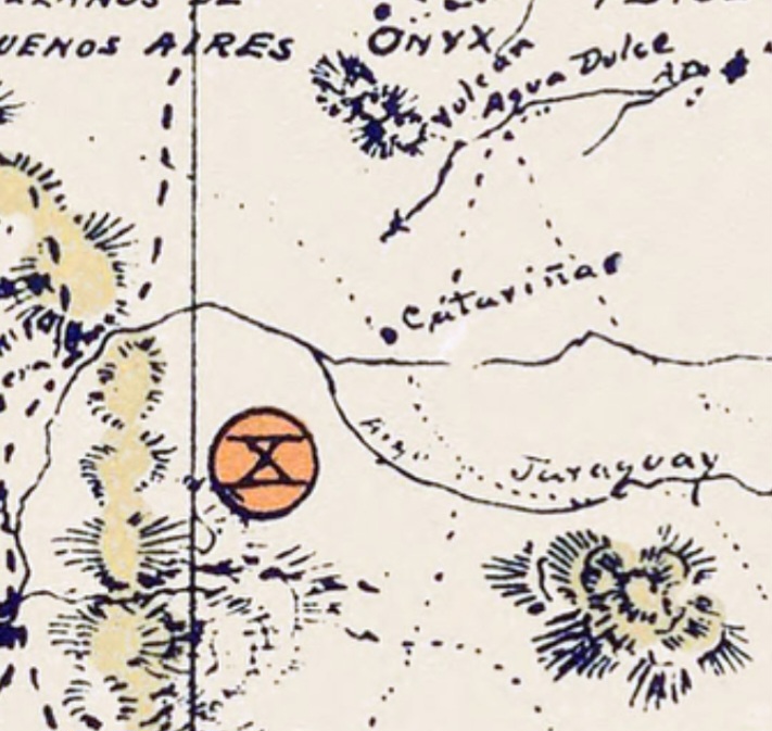
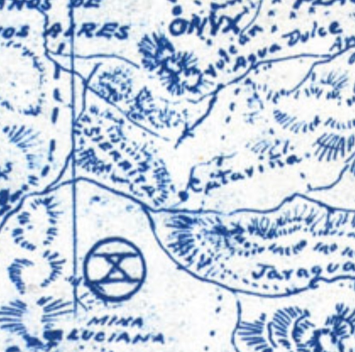
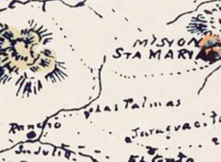
In Kiliwa mythology there is a place where Maikwiak, one of the giant human demigods born to finish the work of the original creator gods, lies on the divide while mourning the death of his father. Tears from one cheek form an arroyo with water that drains to the gulf and tears from the other form an arroyo with water that drains to the Pacific.

Perhaps the Cochimi had a similar story regarding arroyo San Julio/Catavina and arroyo Santa Maria. Some interesting ground features in the area where they meet at the divide.


[Edited on 5-29-2025 by Lance S.]

Lance S. - 5-28-2025 at 03:49 PM

This neat paper discusses some water sources in the Sierra Santa Isabel.

https://www.researchgate.net/figure/Natural-waterholes-used-...

David K - 5-28-2025 at 04:33 PM

It is amazing how much water is in the desert. If you find more papers like that, please share. I am writing about the one Junípero Serra camped at, in 1769, San Francisco (San Francisquito since the 1890s) having located it on May 11.
Another, I have been to in the past that appears on maps is Agua del Mezquitito, just south of San Judas Onyx Mine. Gulick mentions another nearby that might be the Cinco Islas of your paper,?

4x4abc - 5-29-2025 at 07:34 AM

Quote: Originally posted by Lance S.  
Consag may have arrived on the day of the feast of the Visitacion, I will read his report again. Did he find water there?


Consag spent 2 nights there July 2 and 3 (page 70 of his report)

July 2 is the holy day of Visitation
https://en.wikipedia.org/wiki/Visitation_(Christianity)

water was found indeed - likely the Agua del Mezquitito spring
it could also have been the more reliable water in Arroyo Agua Las Palmitas
at the one farthest away from the shore, Aguaje Sagrado, date palms are growing - which almost always indicates Jesuit involvement

29°59'7.85"N, 114°36'30.18"W

Lance S. - 5-29-2025 at 07:56 AM

Wonderful!

Do you think the trail from Santa Maria on the 1884 could go directly north to Santa Isabel? That could make Las Palmitas another candidate for that place.

David K - 5-29-2025 at 08:23 AM

Guys, there is/was water close to the sea, at Gonzaga.

*Pozo de los Frailes is a short walk from Papa Fernandez' and was rumored to date back to the missionaries time there (building the warehouse, etc). Didn't Consag write about water from an Indian dug well?
*Mezquitito is too far.
*Another spring is the Antelope Spring, along the cargo trail going west from the warehouse.
*Water also flows out of the ground, just west of Rancho Grande (Onyx/Soda Springs) but it may not be so tasty.

Lance S. - 5-29-2025 at 10:14 AM

Location for mezquitito?

David K - 5-29-2025 at 10:46 AM

Quote: Originally posted by Lance S.  
Location for mezquitito?


About Km. 120. Papa Fernandez' is Km. 143 (23 kms or 14 miles south).

From the caption under my 1974 photo there:
Agua del Mezquitito 29° 59.160’N, 114° 34.155’W


Lance S. - 5-29-2025 at 05:12 PM

Aguaje Sagrado, the name and date palms are intriguing.

Consag + Sagrado = Consagrado. Puzzle solved, mission Santa Isabel :biggrin:. That's definitely where the gold is buried. Don't tell anyone.

Seriously though, I wonder if the word consagrado explains the hispanisized spelling of his name.


[Edited on 5-30-2025 by Lance S.]

Lance S. - 5-29-2025 at 08:39 PM

David, the Rancheria that attacked Calamajue, Clavigero gives the distance north to the Rancheria, do you remember how many leagues?

David K - 5-30-2025 at 08:16 AM

Quote: Originally posted by Lance S.  
David, the Rancheria that attacked Calamajue, Clavigero gives the distance north to the Rancheria, do you remember how many leagues?


The rancheria was named Cagnajuet, 70 miles north of Calamajué. [this story is on page 112 of my book]. On page 363 of Clavigero: 70 miles (no leagues given). However, a league is generally 2-3 miles, in Spanish California. I believe Crosby says 2.5 miles.

Lance S. - 5-30-2025 at 04:37 PM

Thanks David, I should have thought to check your book chapter on Calamajue first.

David K - 5-30-2025 at 05:37 PM

:light::D