BajaNomad

Providencia Canyon

PaulW - 3-15-2024 at 12:06 PM

Found a direct path to the outlet of the canyon between two olive farms to get to the entrance of Providencia, Nice road from the west side of the Diablo lake bed. After the road we crossed over to the nearest wash. A good wash led us to the final stopping place.


a


Attachment: Providencai3-14-24.kml (32kB)
This file has been downloaded 38 times

mtgoat666 - 3-15-2024 at 01:41 PM

Cool. Is parking safe enough to leave a vehicle while out for a hike?

David K - 3-15-2024 at 04:54 PM

Excellent... Thanks!

What are the attractions in that canyon today? I wonder how they changed since John W. Robinson's 1967 details? [La Encantada = Diablo Peak]


Providencia's location with the other canyons on geoffff's map:


PaulW - 3-15-2024 at 05:34 PM

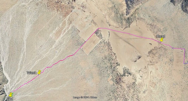
Goat If you park at the end of my track your rig should be safe. You will be a long way from anything

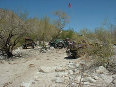
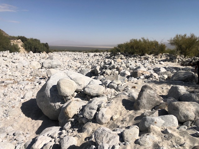
Where I took the pics there were ducks leading to the arroyo. No track in the sand after reach the arroyo. Distance from Jeep to the arroyo is about 50'.
What to do ?
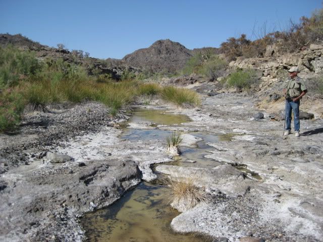
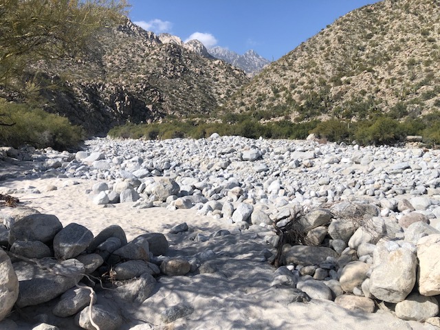
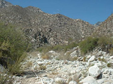
Have a picnic or get serious and head up the canyon through the rocks.

For serious climbers to go very high in Providencia find it is an aid climb with all your stuff.

[Edited on 3-16-2024 by PaulW]

mtgoat666 - 3-16-2024 at 08:44 AM

Quote: Originally posted by David K  

What are the attractions in that canyon today?


Same as all the other canyons: solitude, hiking, climbing, wilderness, steep topography, scenery, etc.


David K - 3-16-2024 at 09:57 AM

Yes goat, I love canyons too. I was interested in any special or unique features if THIS canyon.

PaulW - 3-16-2024 at 11:39 AM

For years we all tried to get to the canyon from the south as Lou Wells described. No success that way. Then the latest GE images showed the path between the two olive plots. Lou liked his place a little further south because of the abundance of desert Fauna.

Lou Wells, his Porvidencia description: (date unknown, around 20 years ago)
The entry to Providintia canyon, also a route for climbing Picacho del Diablo. It is said to have 7 waterfalls falling into 7 separate pools. Water is piped out to ranchos in the valley.

6


7
add photos online


8


David K - 3-16-2024 at 01:19 PM

Thanks Paul... I appreciate hearing what Baja Lou had to say.
I was very honored to meet him and spend a little time with the generous man who shared maps and details.

I met Lou and Teina Wells at Parral Canyon on Easter week 2004 as he was leading a 2-day group trip to Parral and Berrendo canyons.

I also got to enjoy his final New Years Turkey Fest, at his place, New Years '06. Many Nomads and lots of others were there, too.

In 2011, Lou joined us in a the crazy but fun search for the Lost Mission of Santa Isabel (in Arroyo el Volcán, 4 miles from El Mármol). It was his final Baja adventure... and he really enjoyed it:


Lou in Arroyo el Volcán, soaking in that 'Baja Feeling' we get.