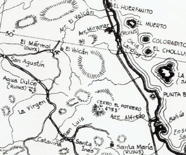
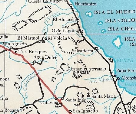
Does anyone know about a geiser in the drainage below and east of the El Marmol site ?
We visited several years ago and there was evidence of thermal and mineral action but never saw any real activity.
Perhaps it is more active in a particular season?
Has anyone explored further past the geiser site toward the gulf ?
We hope to hike further down in January
Many thanks
Aldervale |