Originally posted by bajalou
From the book "Lower California and It's Natural Resources" by E. W Nelson, 1905-1906.
P.79 - Drainages of the Sierra Juarez --
Palm Spring, Tako, Guadalupe, Polomar, Agua Caliente, Tule & Aroryo Grande
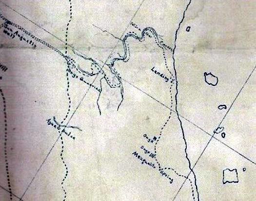
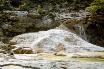
P. 92 opposite - Plate 24, #1 El Tule Arroyo, a clear stream in Canyon at junction of Sierra el los Tinajuas and Sierra Juarex.
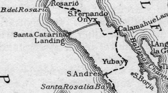
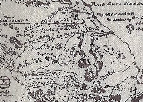
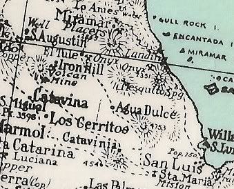
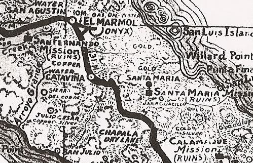
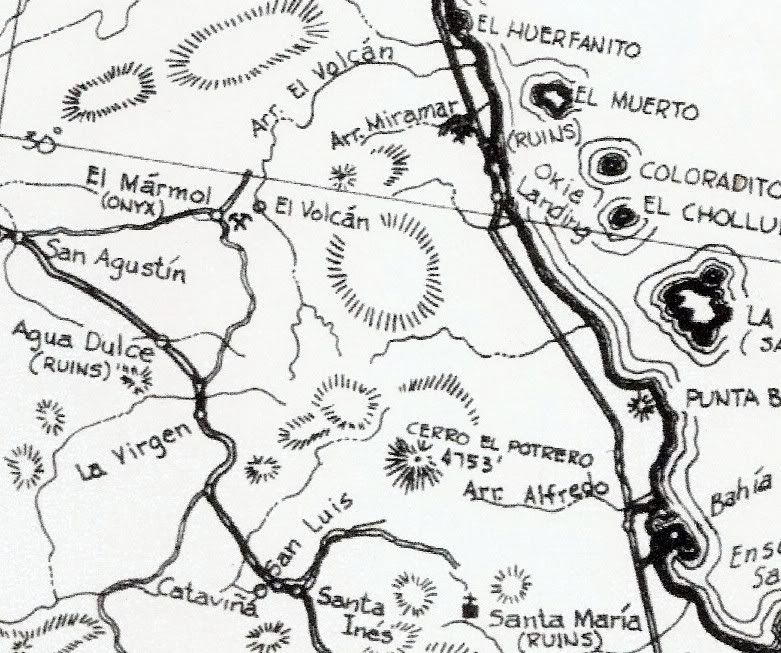
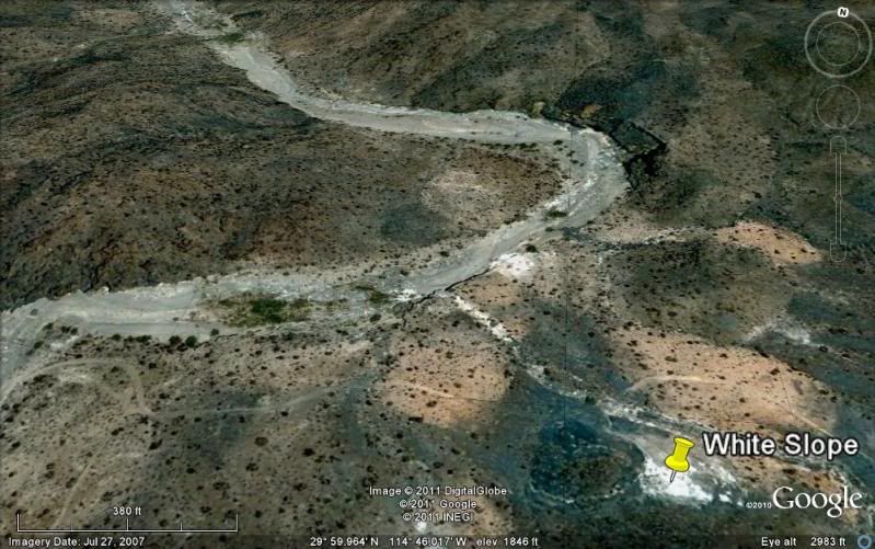
P.25 "Onyx mine near the upper end of El Tule Arroyo". -- well at San Augistin 50 ft deep.
P.81-82 "Dry channels to the coast south of San Pedro Matir Mountains." - A few of these have a little water in the upper parts of their channels.
Among these may be mentioned the following arroyos - Matomi, Santa Maria, San Fransquito, Calamahue, Santa Agueda. (San Agueda provides water to
Santa Rosalia)
May be other "El Tule" washes on the peninsula that aren't mentioned, but he does mention the one near the onyx mine but no mention of water.
|


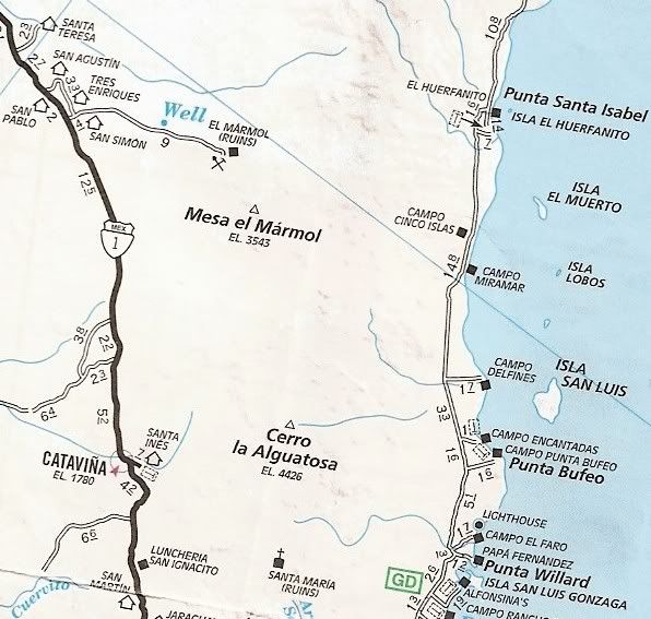
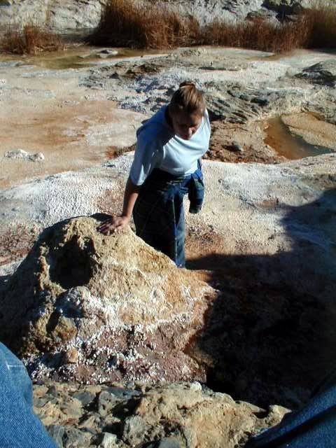
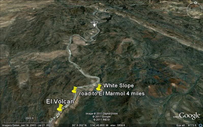
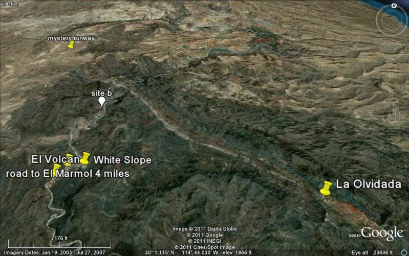
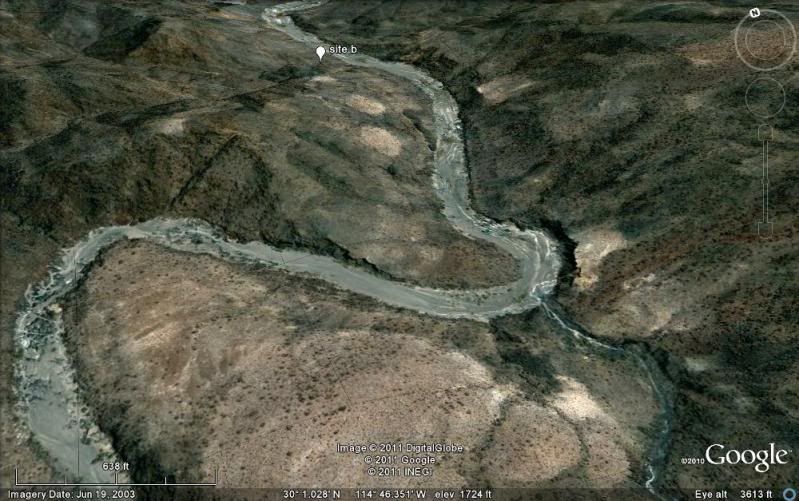
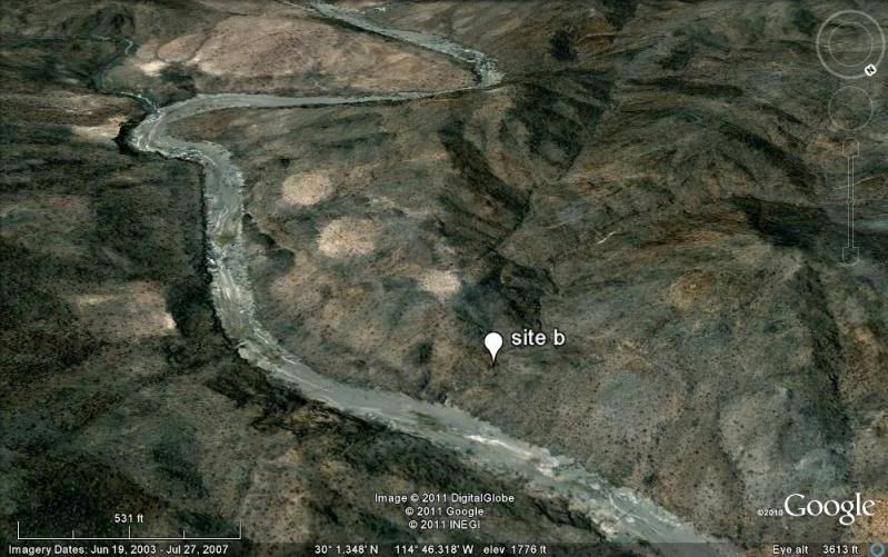
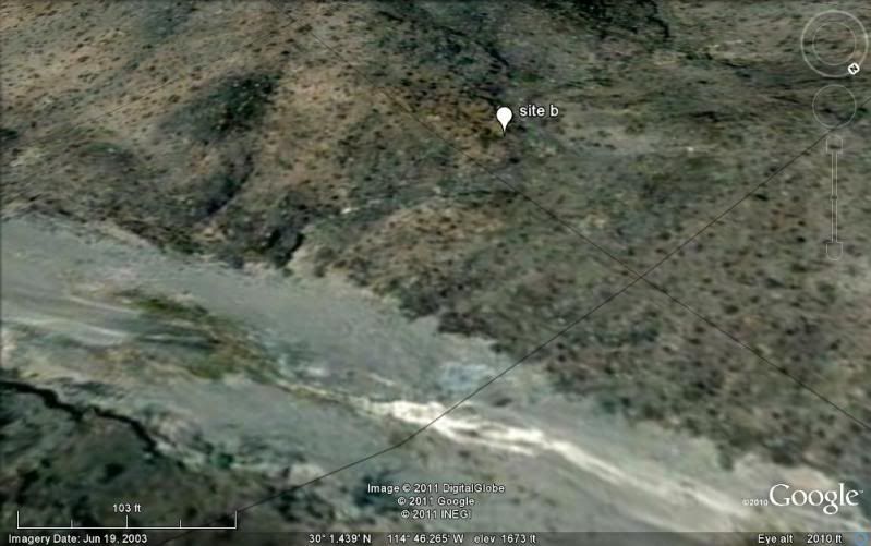
 3 to 4 miles is a long walk in a sandy or
rocky arroyo.. and that is just one way!
3 to 4 miles is a long walk in a sandy or
rocky arroyo.. and that is just one way!


 )
)