Quote: Originally posted by 4x4abc  |
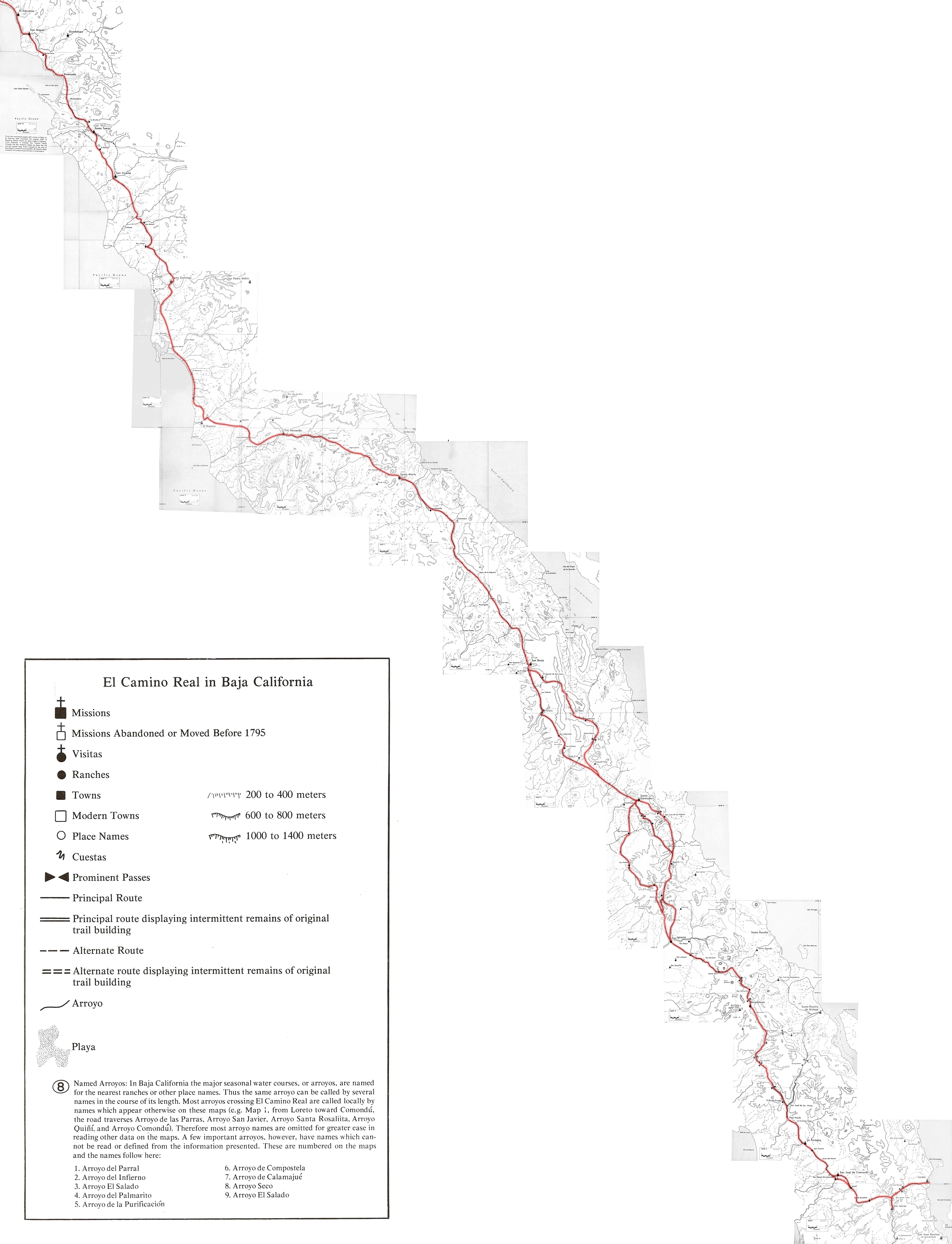
That implies the Spanish found the route through Incha to be better than their previous route (the route that you say was used to reach the first San
Javier mission site, reportedly a few km north of the present San Javier site).
Looking at the area on Caltopo, it is easy enough to reach Incha from Loreto. And, it is easy enough to reach the present San Javier site from Los
Dolores. But, connecting Incha with Los Dolores looks like more of a challenge. There are a number of possibilities, but none look better than
reaching the present San Javier site via the route marked by Crosby and others (the old route).
Harald, can you cite a source for your information that the 'new route' to the new and present San Javier site is through Incha? Also, how would you
get to San Javier today if going through Incha? Canada El Manchon? Canada La Presa?
A plausible route (on paper they often look better than they do on the ground) might be from Incha, south through Canada El Manchon, up and over to
Arroyo Las Cargas de Lena, following this south-west past Las Higueras to El Pua and then on to Los Dolores and San Javier.
The possible routes from Incha look like they have a lot of brush, on Google Earth, and I don't see an trace of trails.
[Edited on 2-12-2025 by cupcake] |
Cuesta Incha 25.899668°, -111.471612° and Cuesta El Tular 25.902595°, -111.474244°. Cuesta El Triunfo also has a visible trail 25.905130°,
-111.478959°.
Arroyo El Triunfo seems like an easy, but longer walk from San Javier.
There is a trail in a nameless canyon leading to a Cuesta at 25.903759°, -111.499789° that is much shorter.
More direct, following Jesuit philosophy
can I cite a source for the information of the 'new route'?
yes, Harald Pietschmann
been studying the trail for the last 10 years
many hours every day
here is one of the indications that the Jesuits used that route - it has many locations with date palm trees
they don't seed themselves and are hard to grow
not a guarantee but a strong indication of Jesuit involvement
below all visible trails and the date locations
 |


