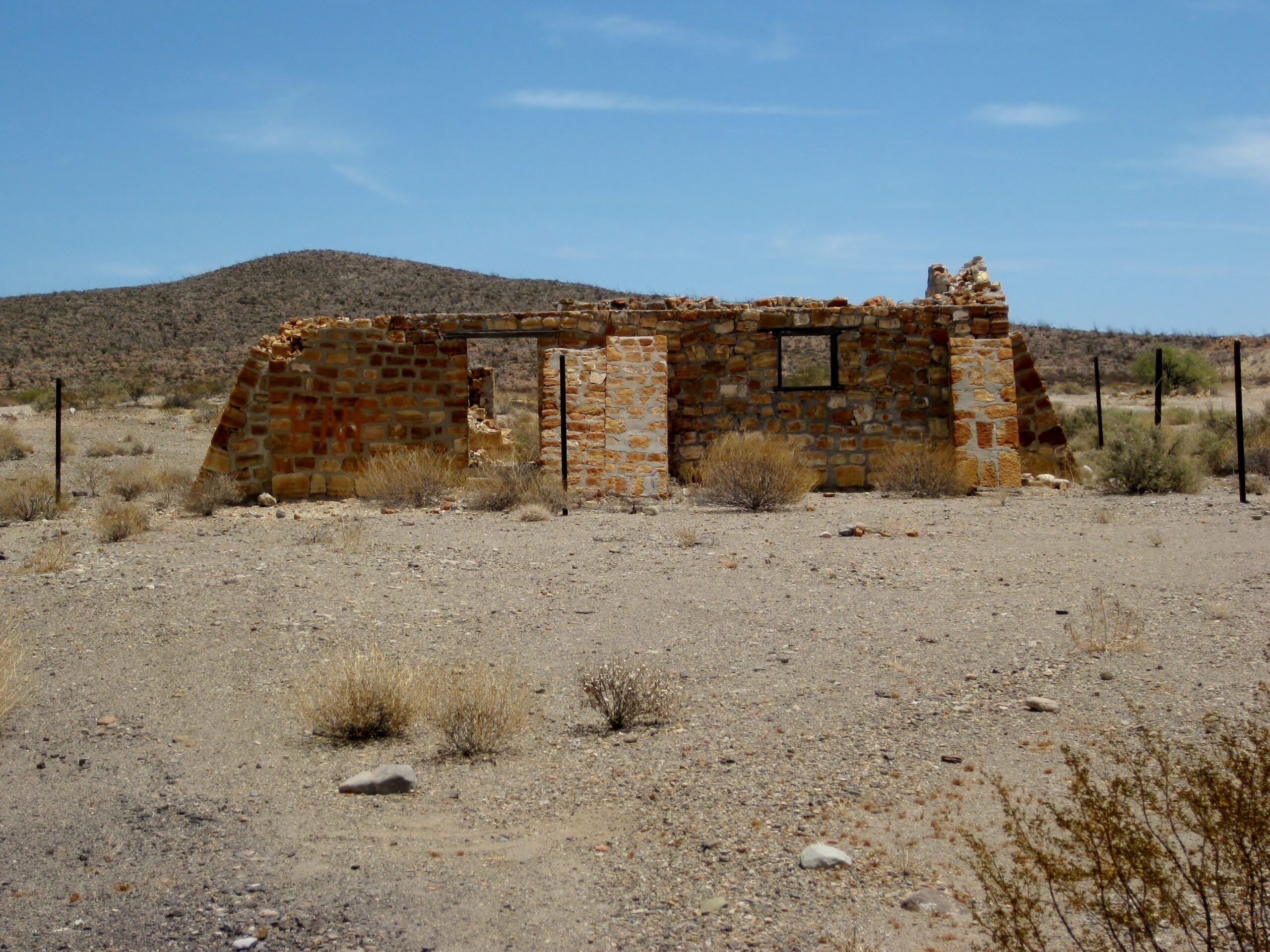
| Looking at the photos and comparing the new to the old I was amazed at the degradation in such a 'short' time. Then it hit me that the 1920's were a
hundred years ago, and even the 50's were 70 years ago. Then i realized that my glory days exploring and driving around Baja raising hell and
catching fish was more than 40 years ago. I keep forgetting I'm an old fart. But I had fun. Thanks for the photos boys. You do a service to Baja
by recording these parts of history and they sure do bring up some fond memories |


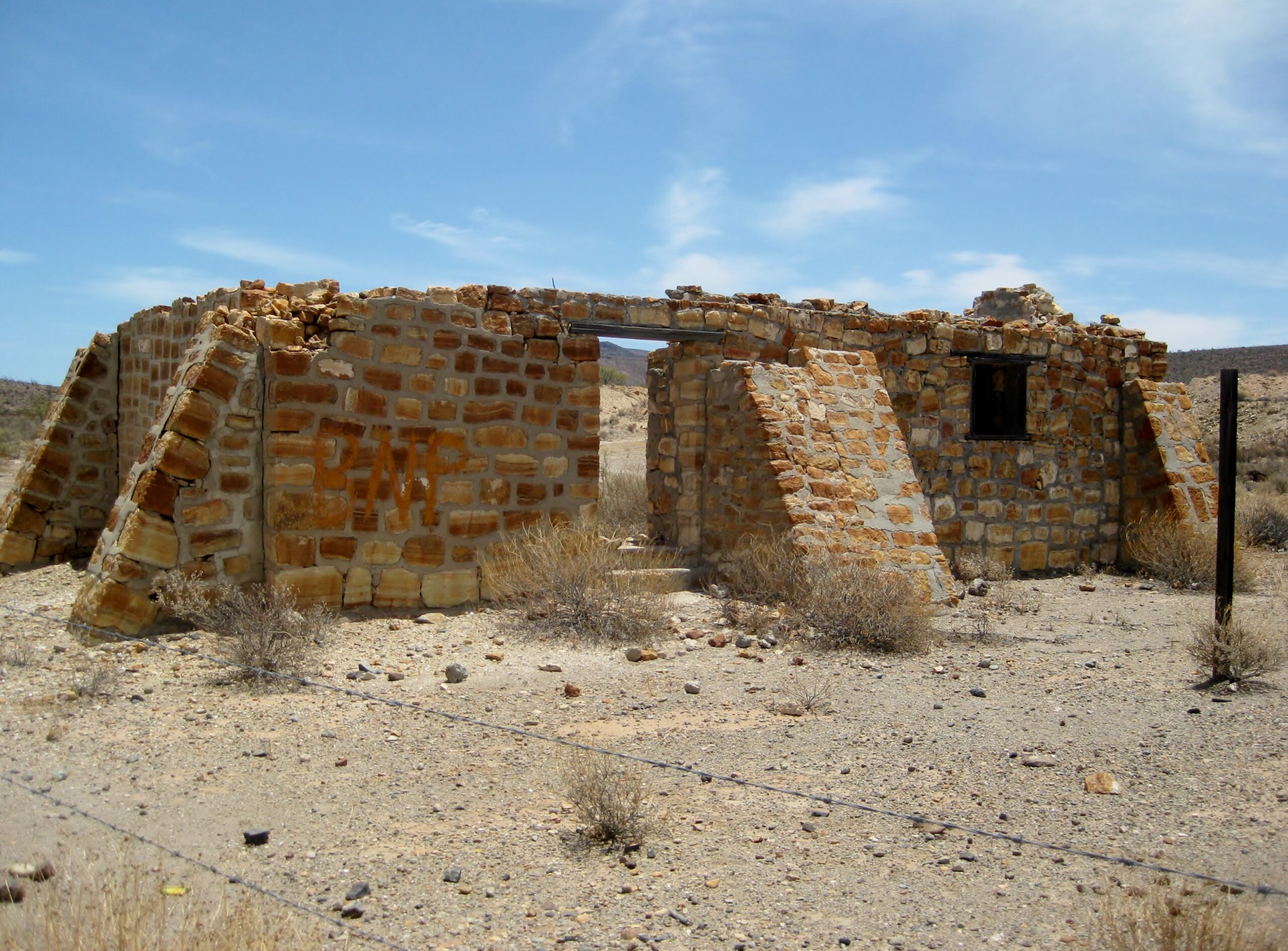
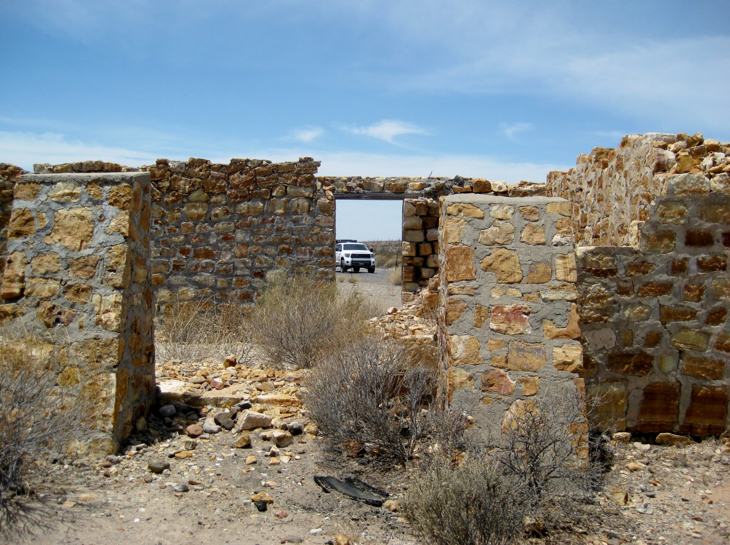


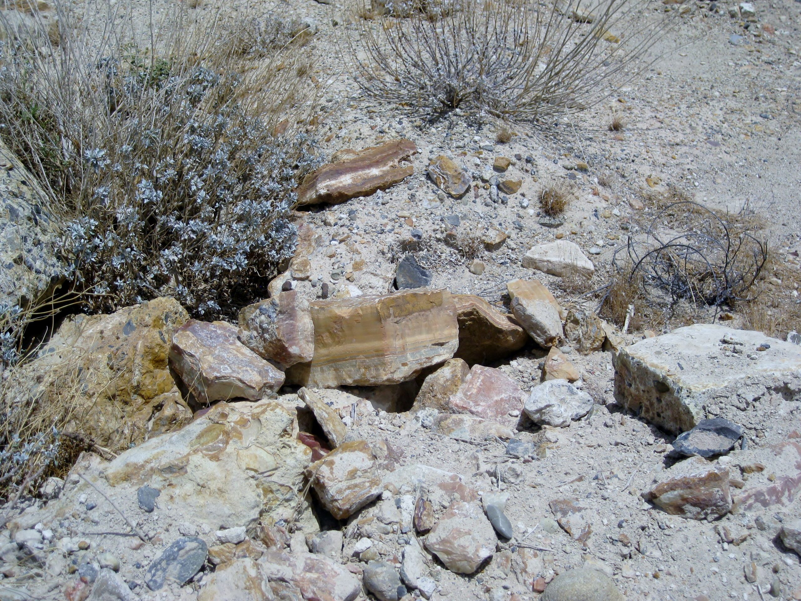

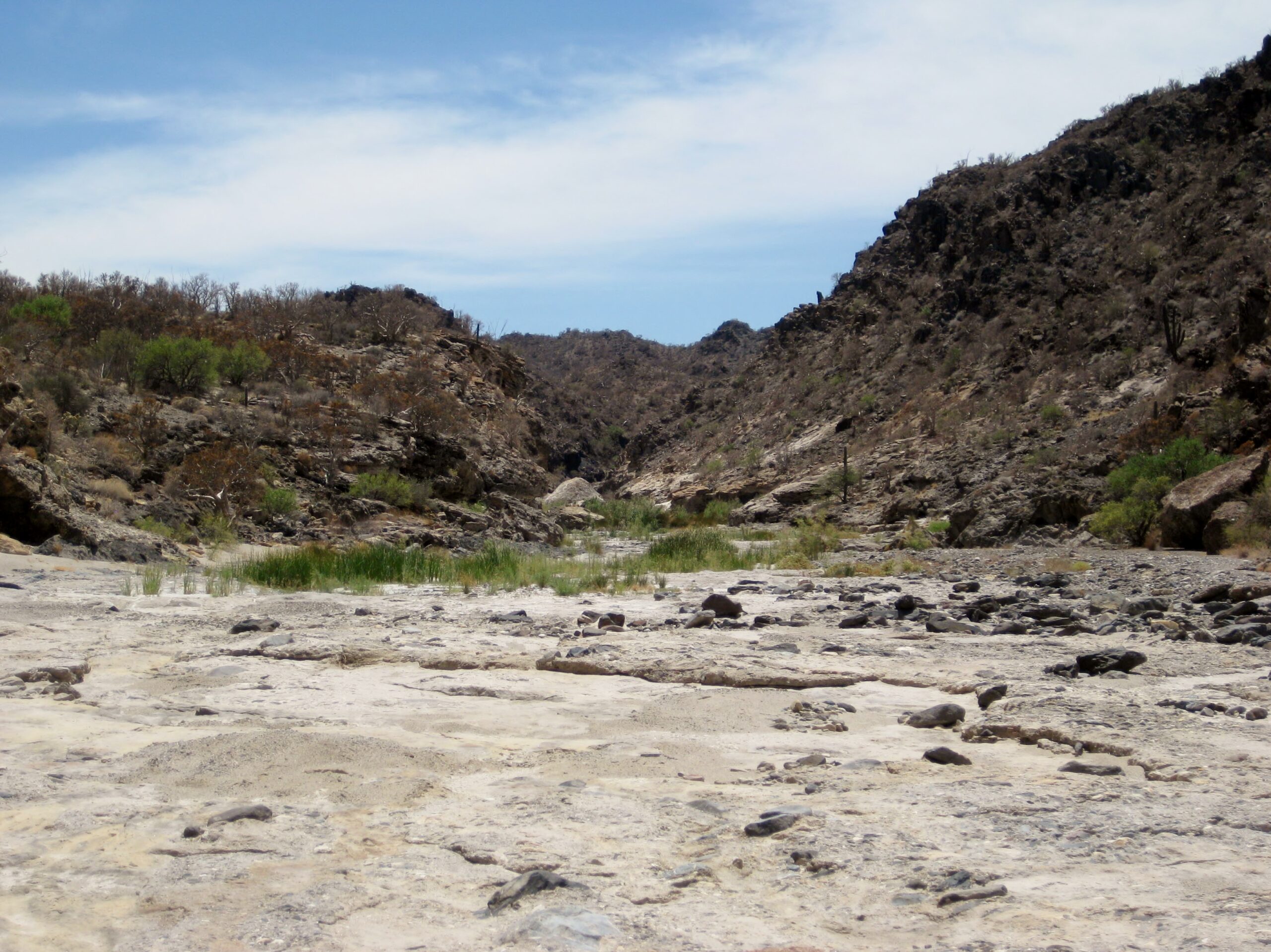
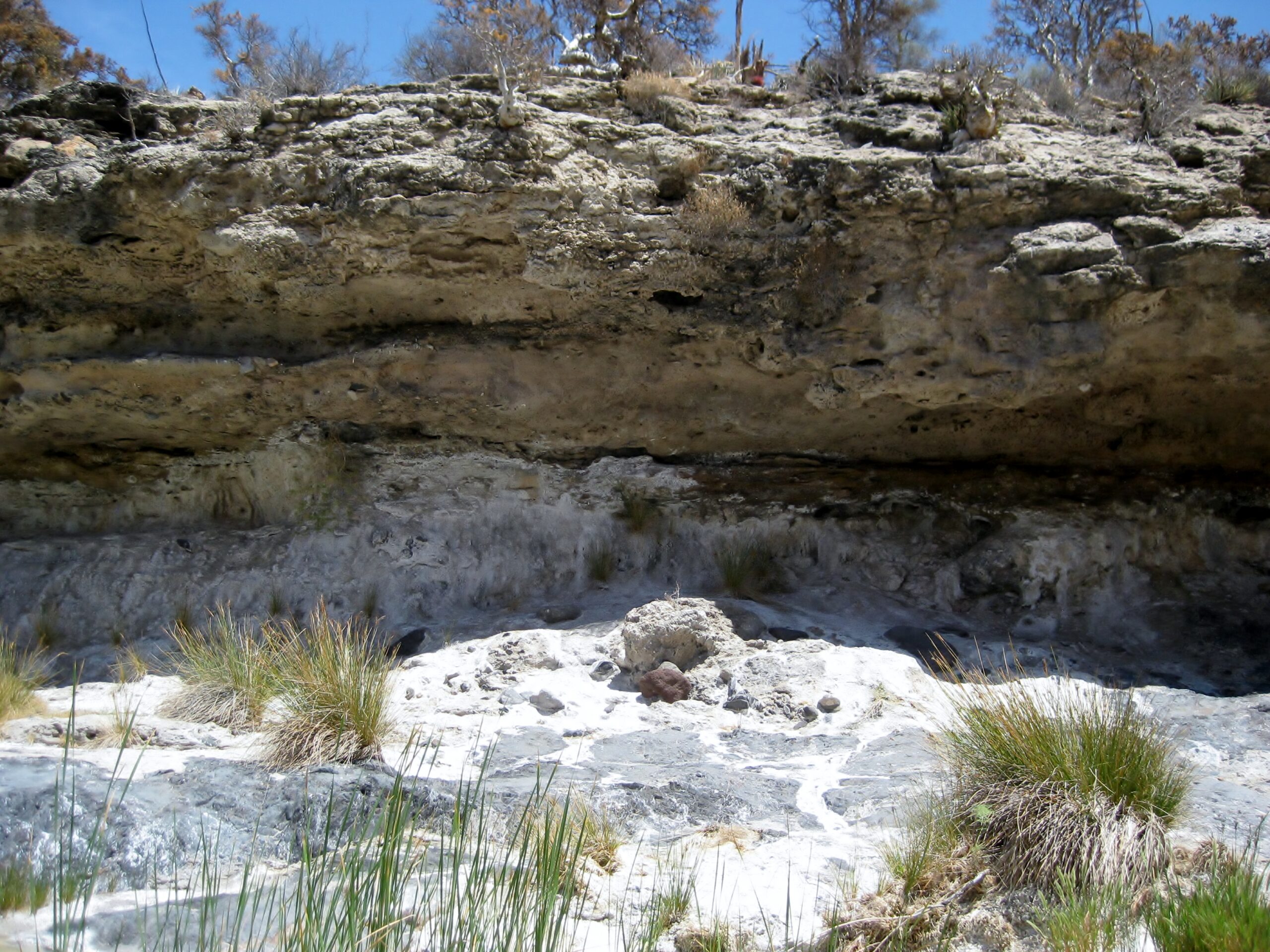
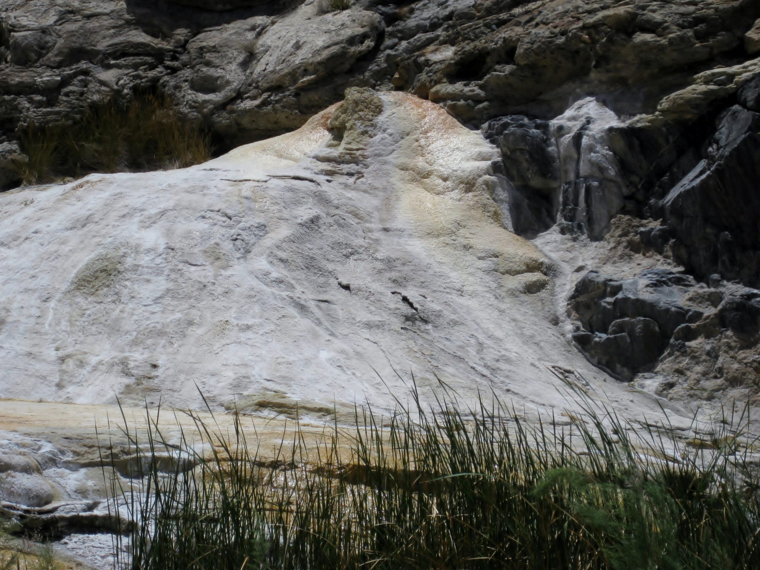

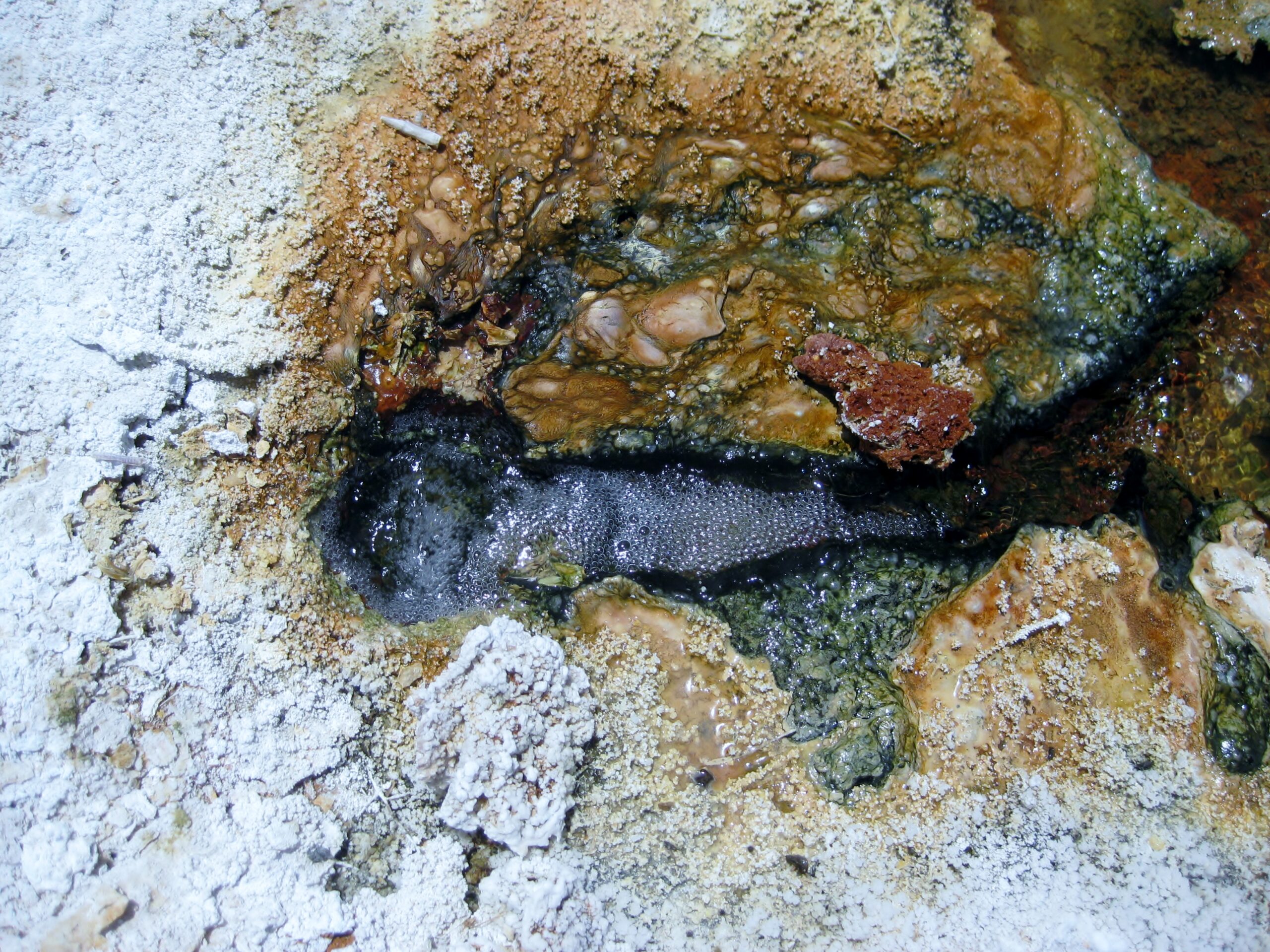
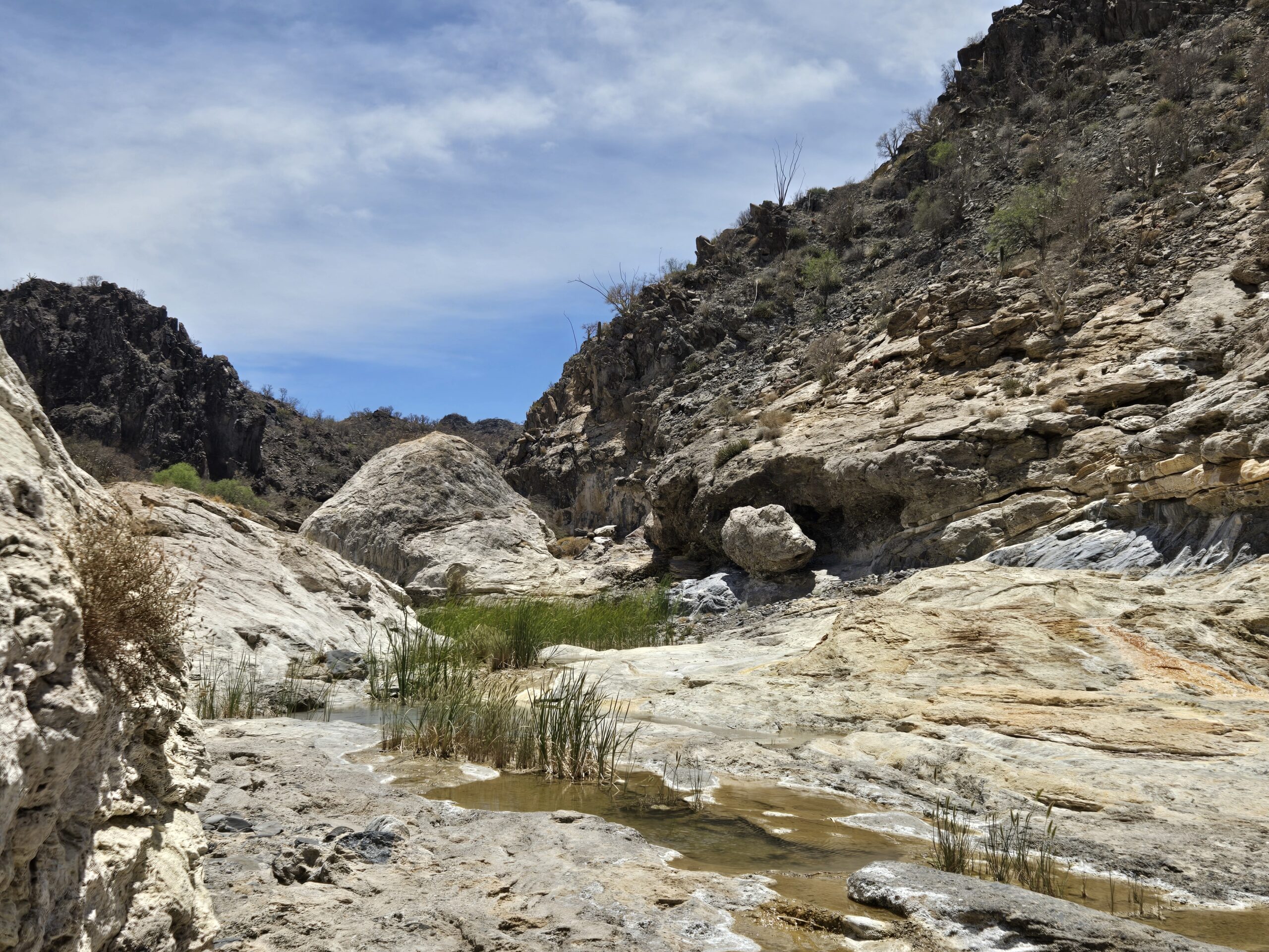
 Dave W. photo.
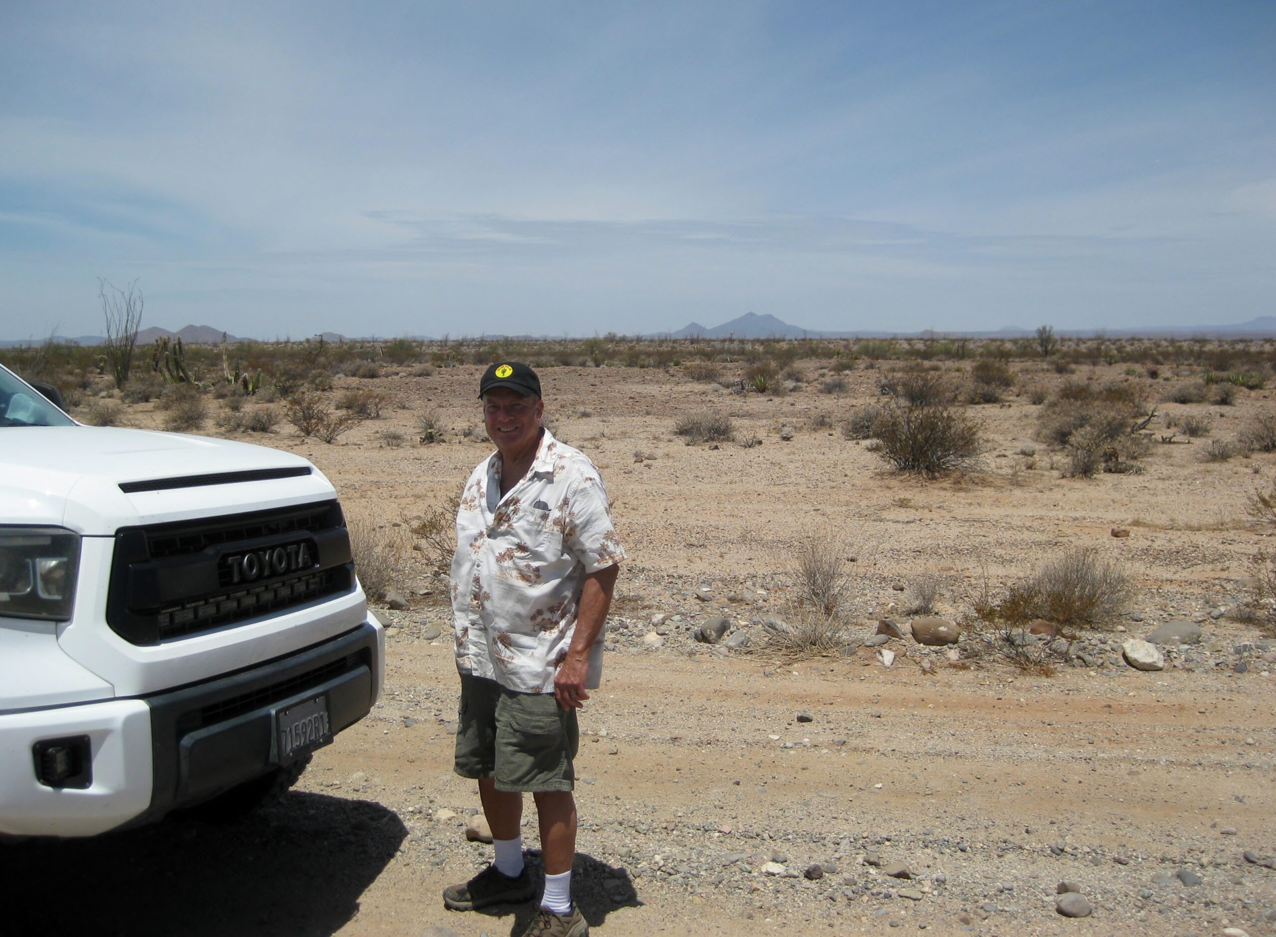
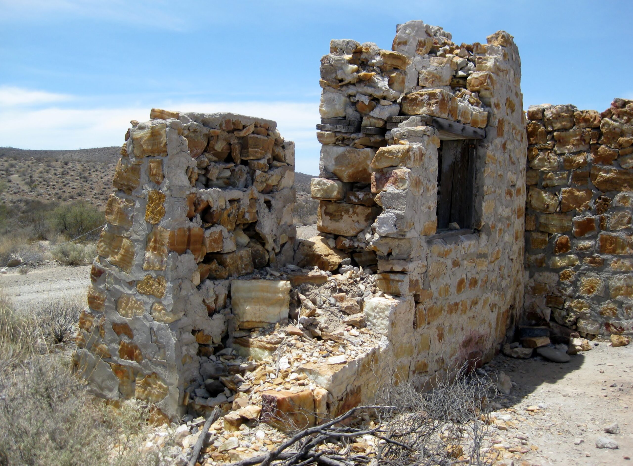
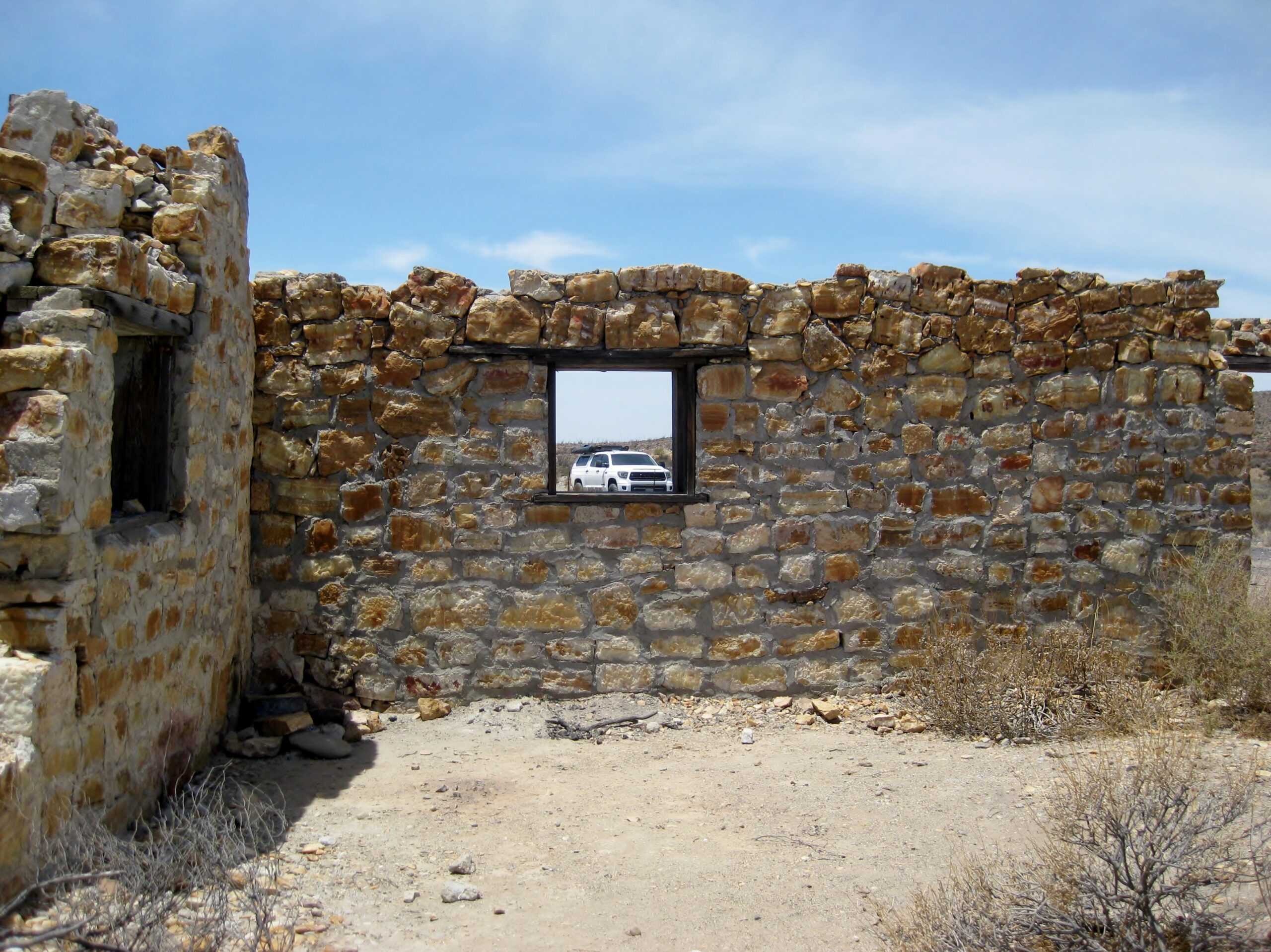
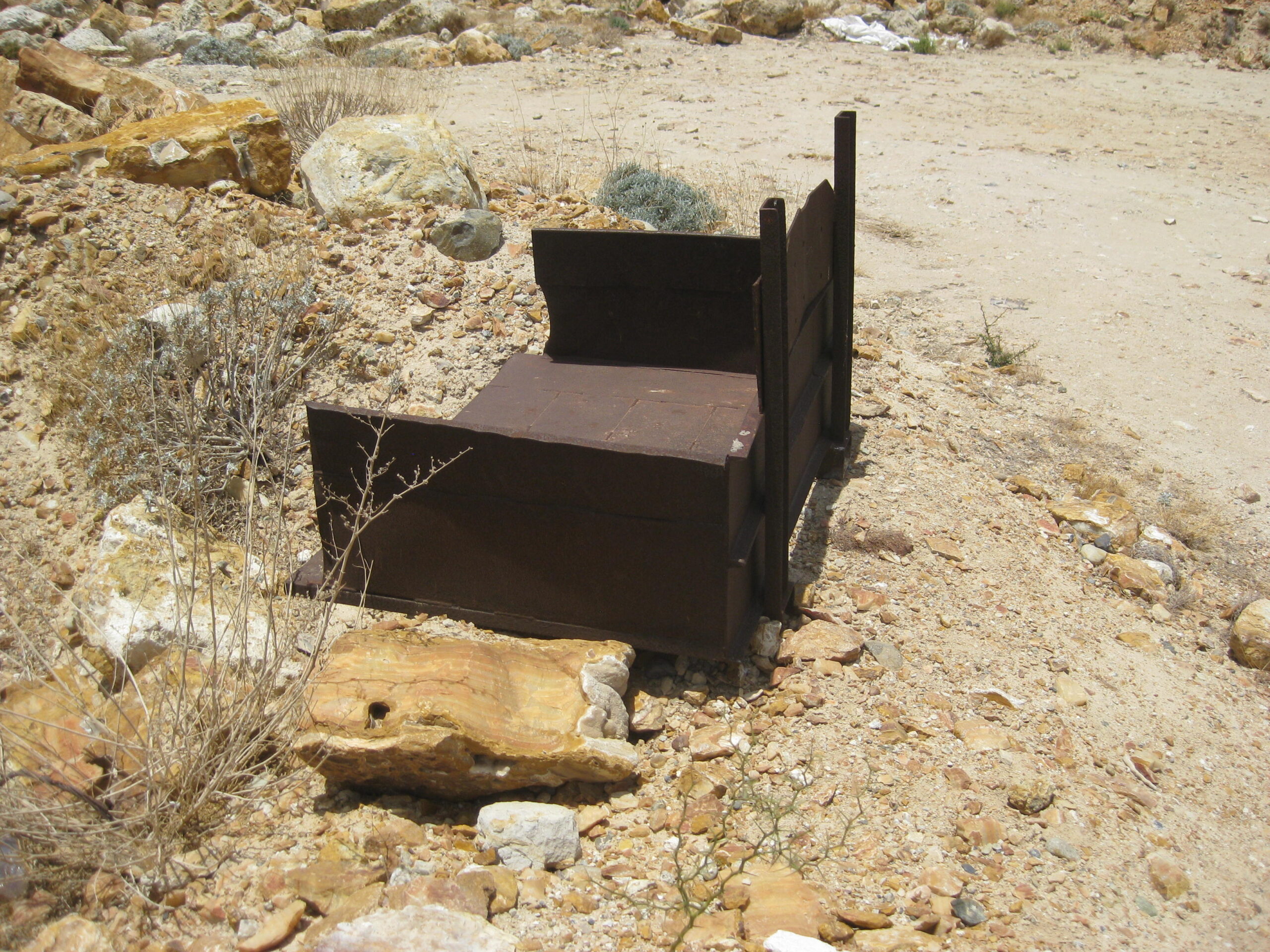
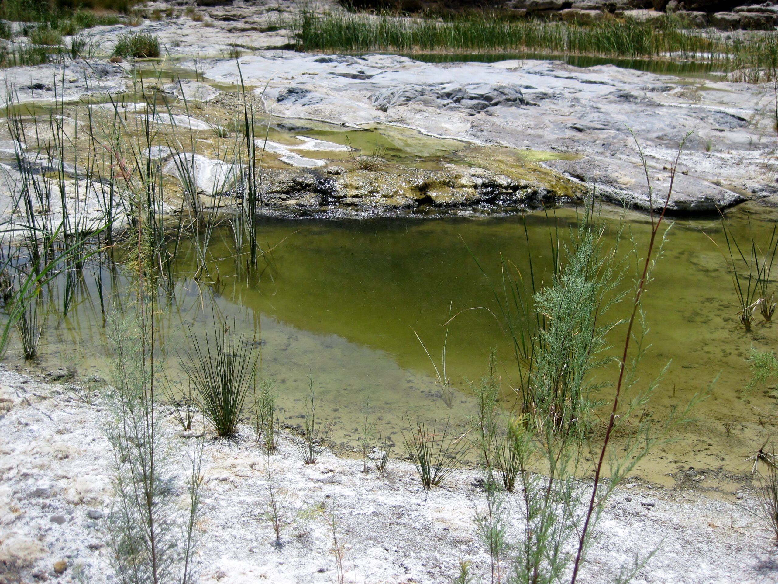
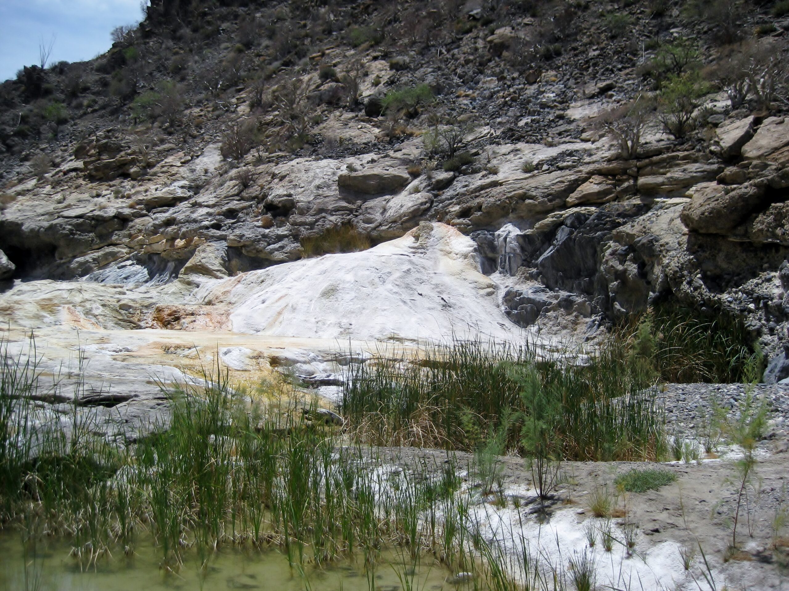
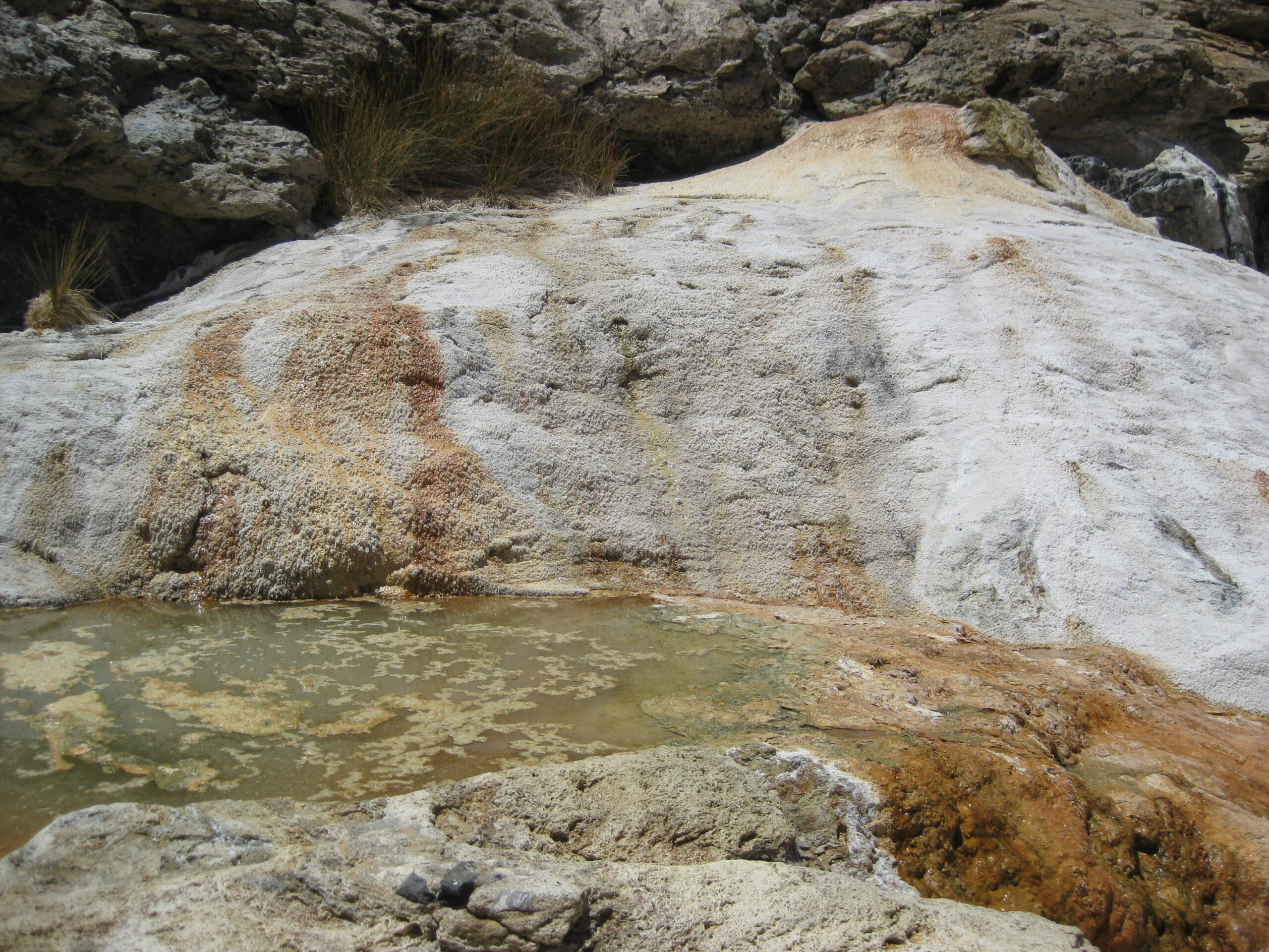
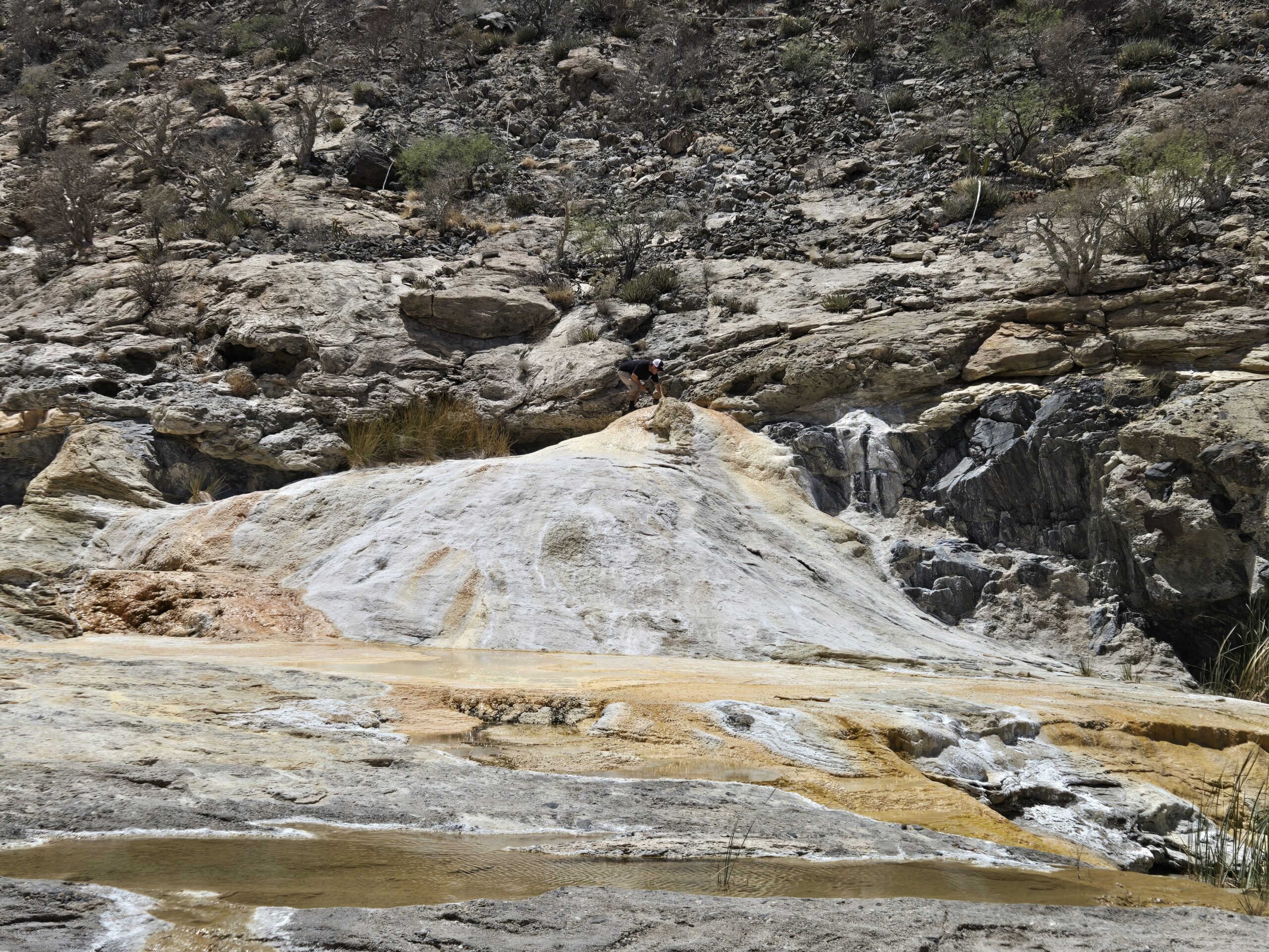
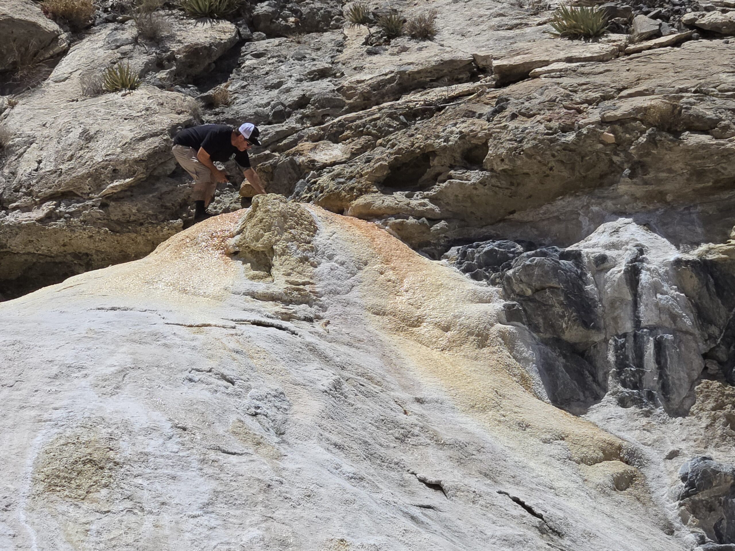