David K
Honored Nomad

Posts: 65563
Registered: 8-30-2002
Location: San Diego County
Member Is Offline
Mood: Have Baja Fever
|
|
Baja 5-25: Missions & More. PART 4 (Rosario de Arriba/ San Fernando)
Continued from Part 3: https://forums.bajanomad.com/viewthread.php?tid=101813
 Dave W. photo Dave W. photo
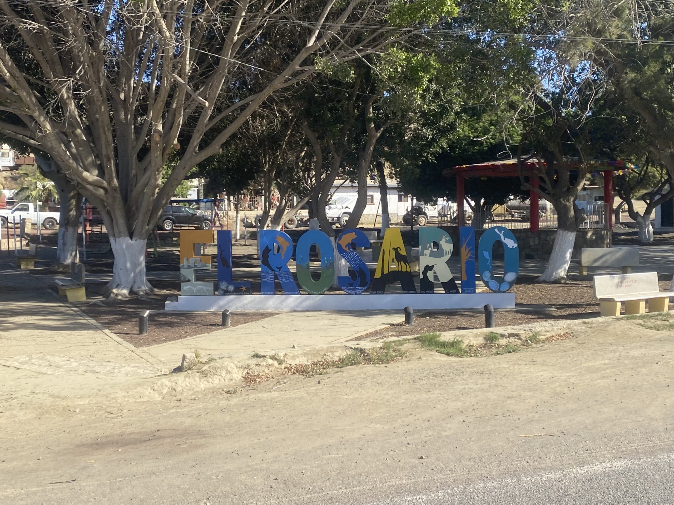
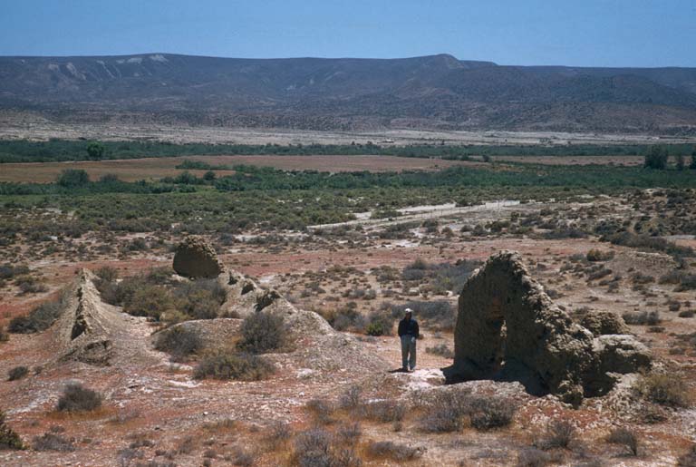
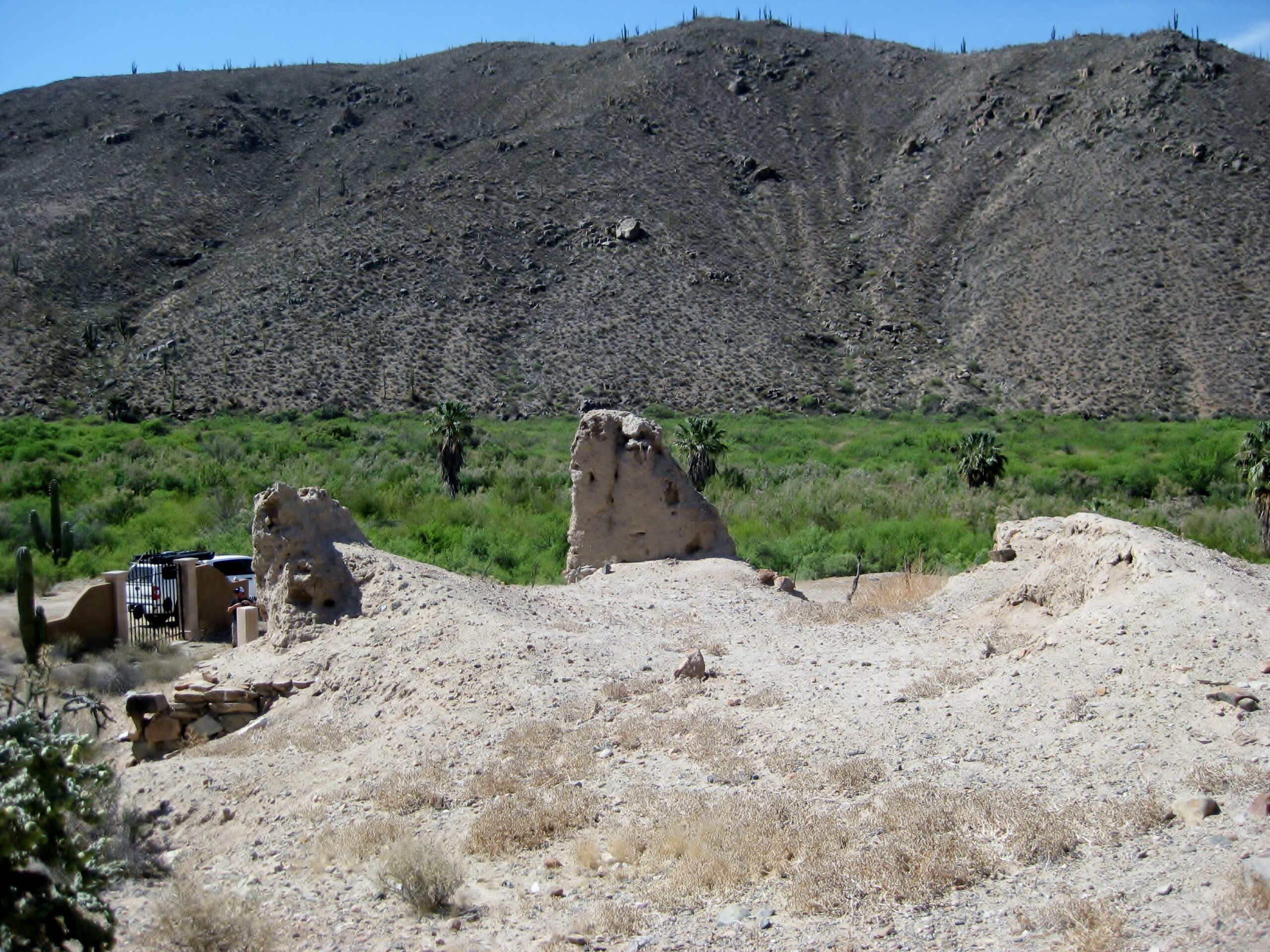
In El Rosario, just uphill of Mex 1, is the first California Dominican mission site, Nuestra Señora del Rosario de Viñadaco. It was officially
founded on July 24, 1774, making El Rosario older than the United States!
No sign currently points out which street to take off of the highway. It is a concrete street just past the tire shop 'San Borja' (on the left). The
mission is only a few hundred feet up the street, on the left. It is a larger complex than than the second location ('Abajo') we had just come from.
Built more like a fort outpost, as the Spanish were not confident the Natives would be receptive.
The location was chosen when on the a previous expedition for mission sites, the Dominican leading the way dug test wells and found the water table
poured out, So, they built a dam to store the water. In 1802, that water source failed and they moved the mission closer to the river and a bit over
two miles west. The first site became known as Rosario de Arriba (upper) and the new site was Rosario de Abajo (lower).
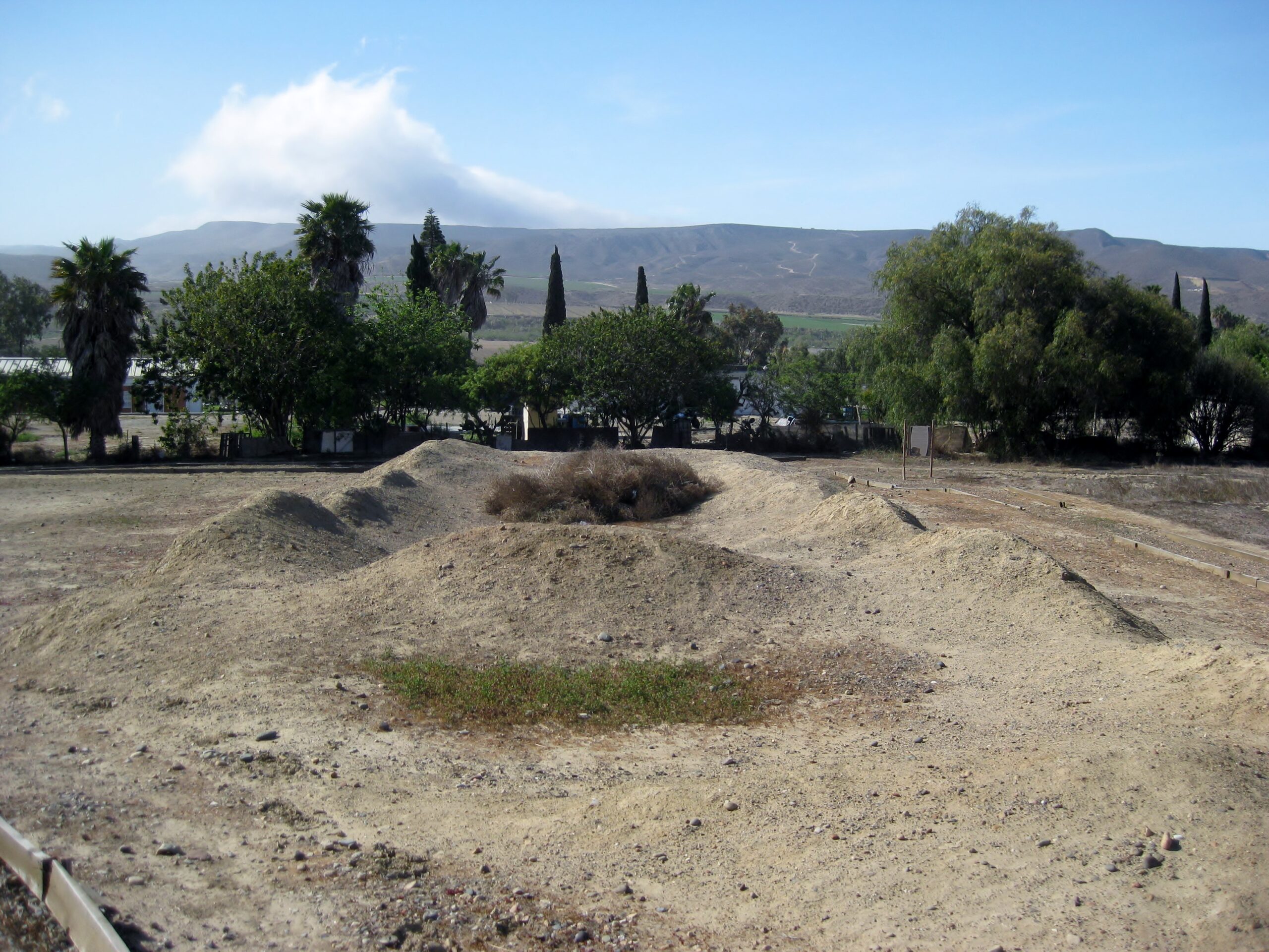
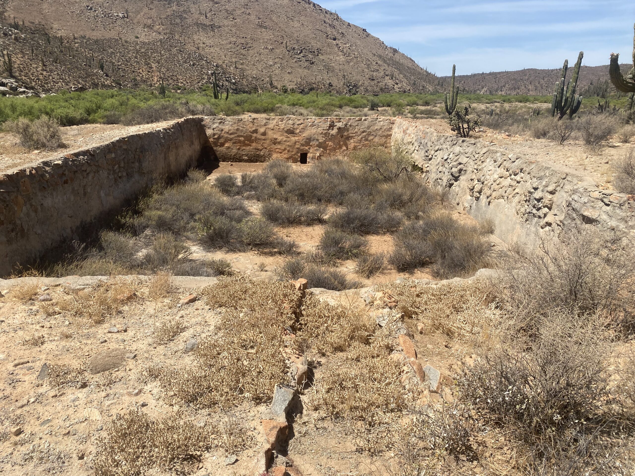
As seen from the street, beyond the entrance gate, the N-S building seen here was the church. The E-W ruins were other mission buildings. Dave W.
photo
 Dave W. photo Dave W. photo

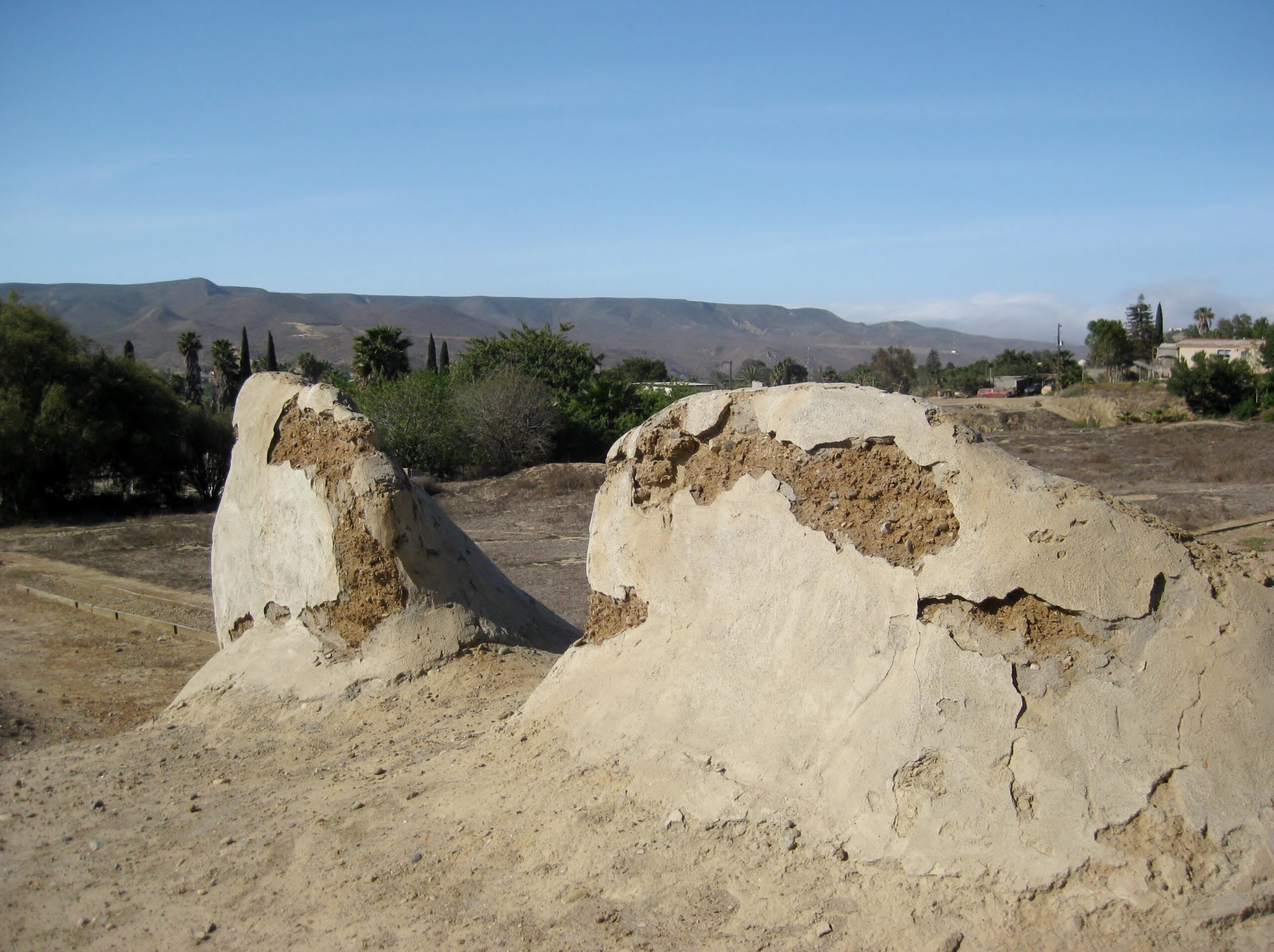
 This was where the reservoir and dam were. This was where the reservoir and dam were.
In 1957:
 Howard Gulick photo Howard Gulick photo
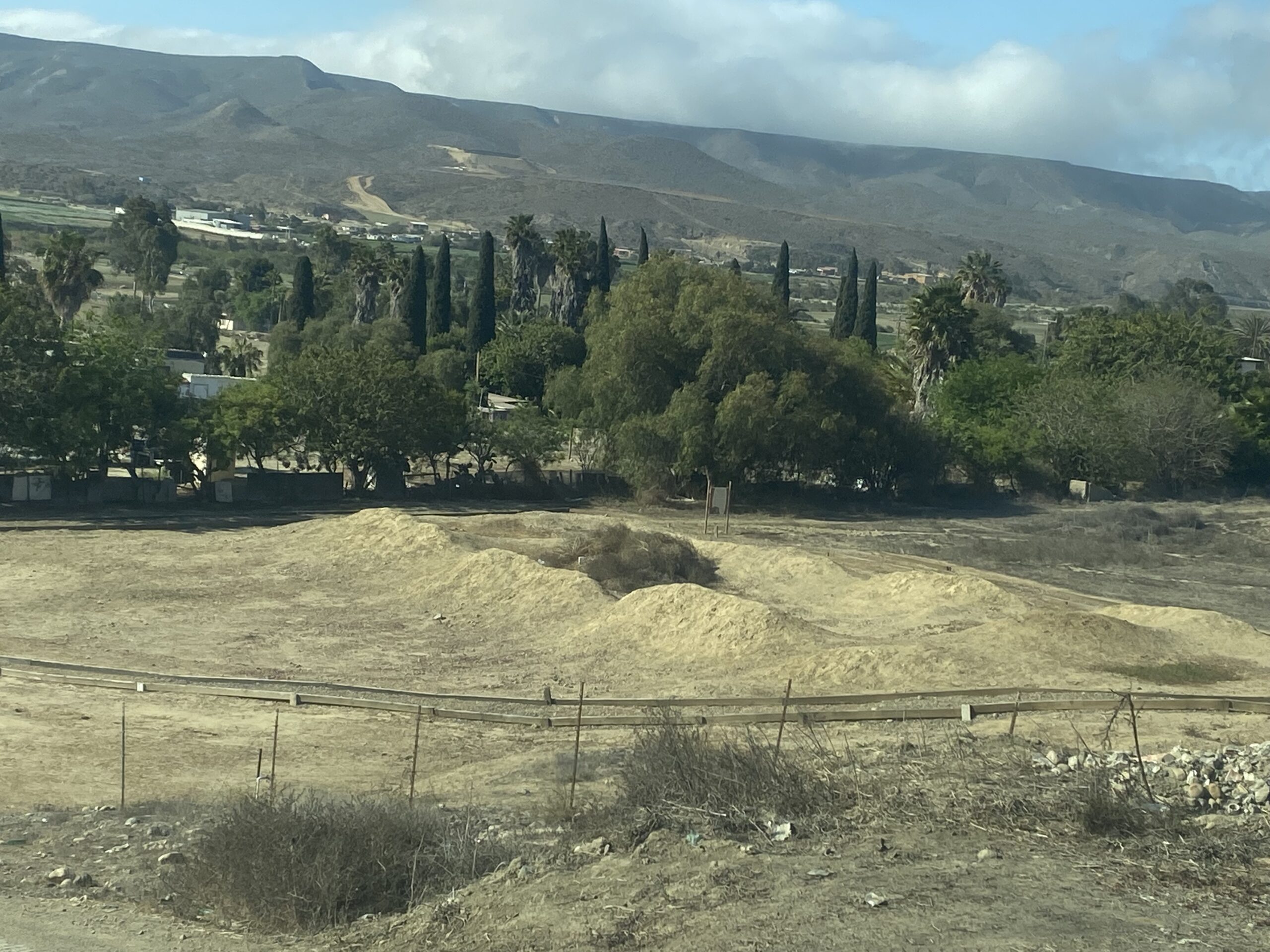
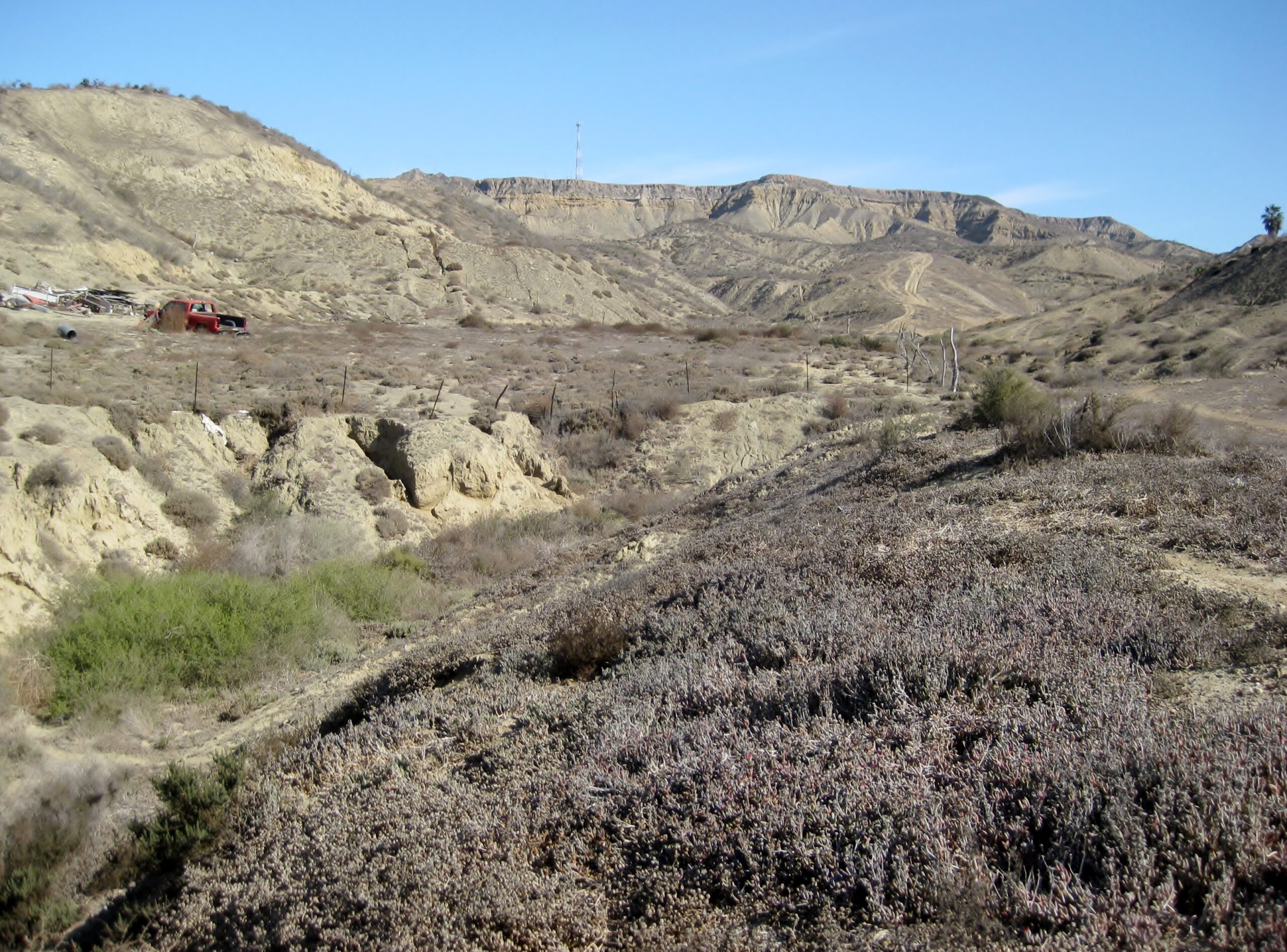
On south we go...
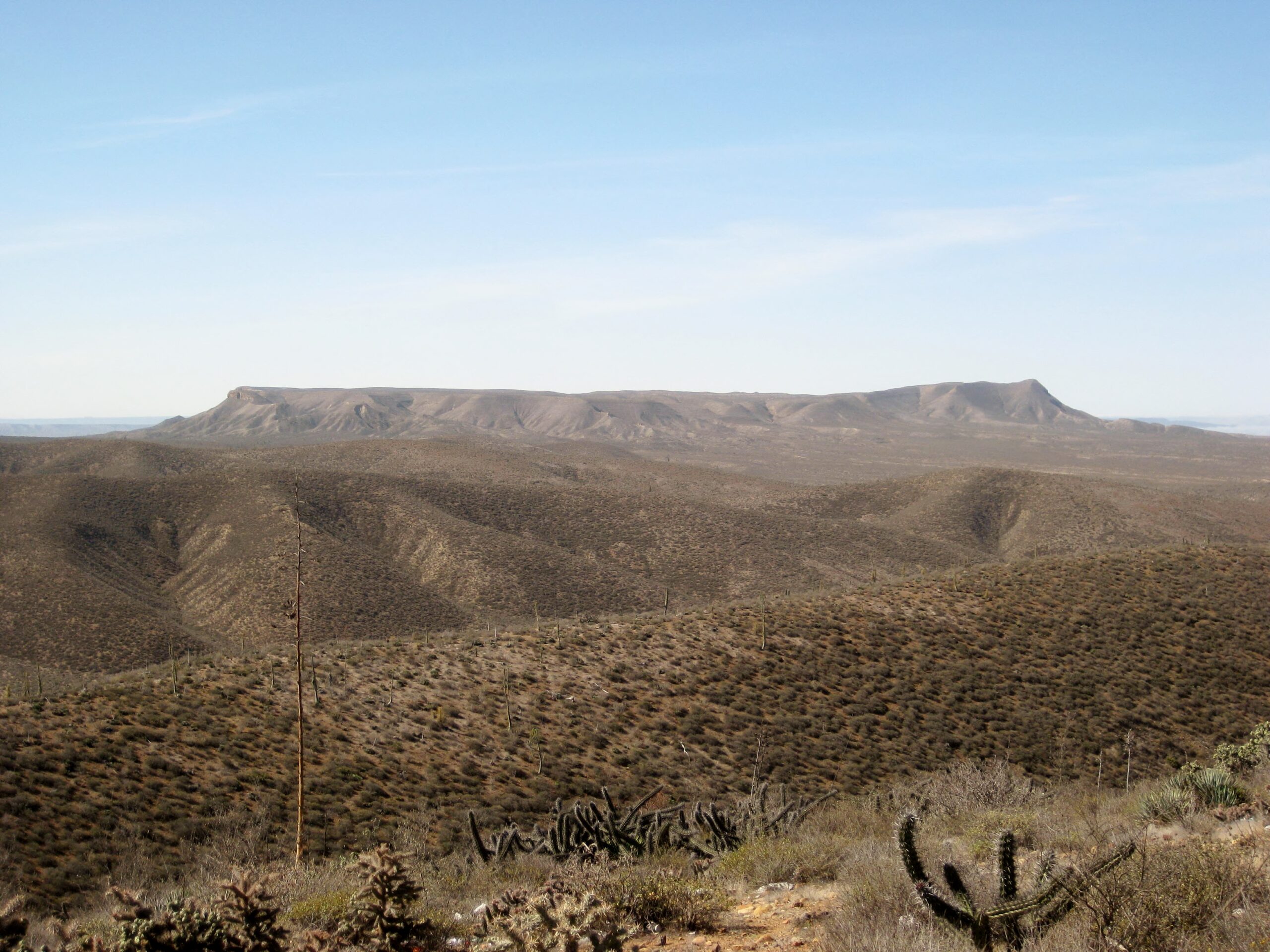 Mesa la Sepultura Mesa la Sepultura
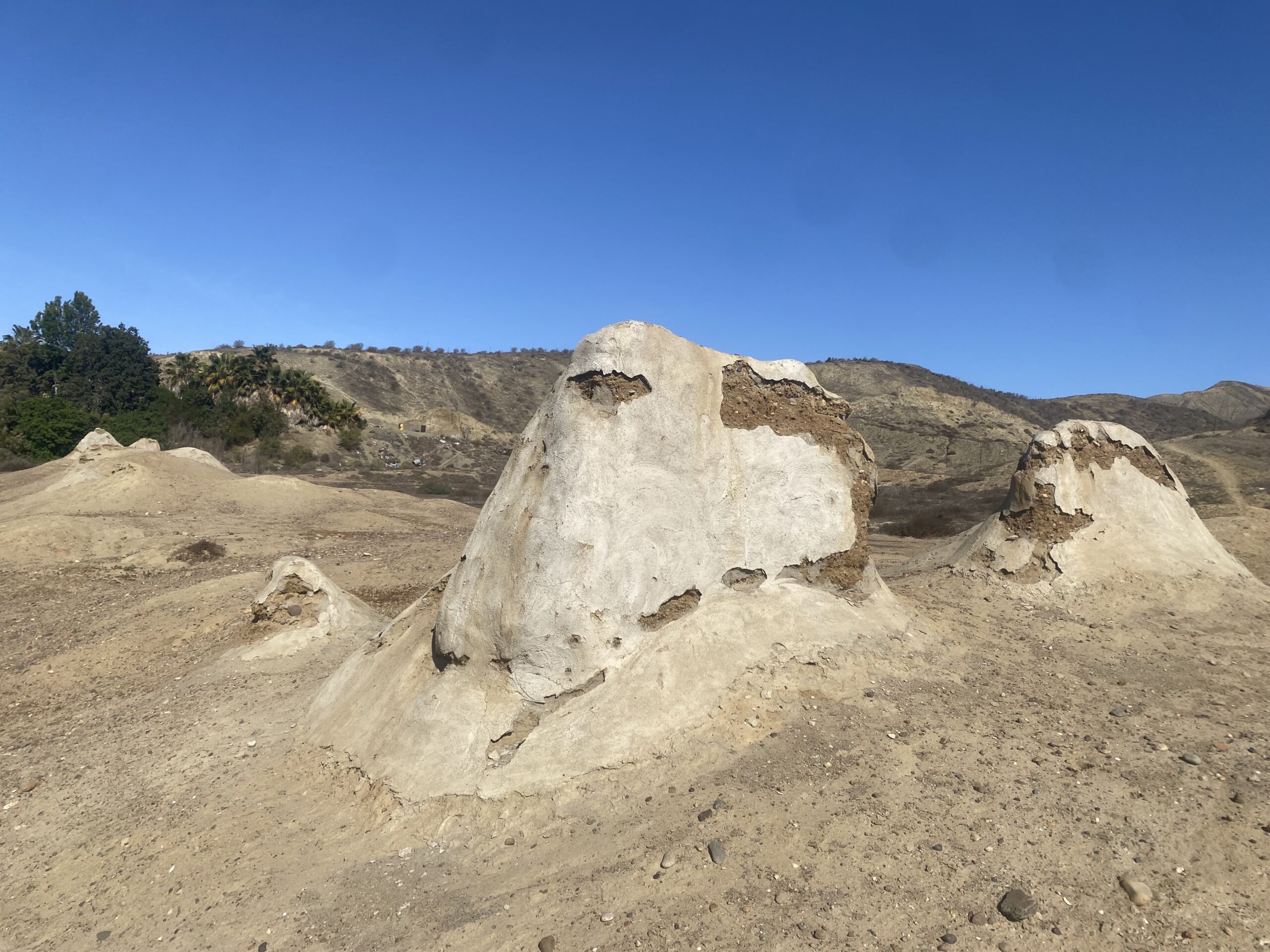
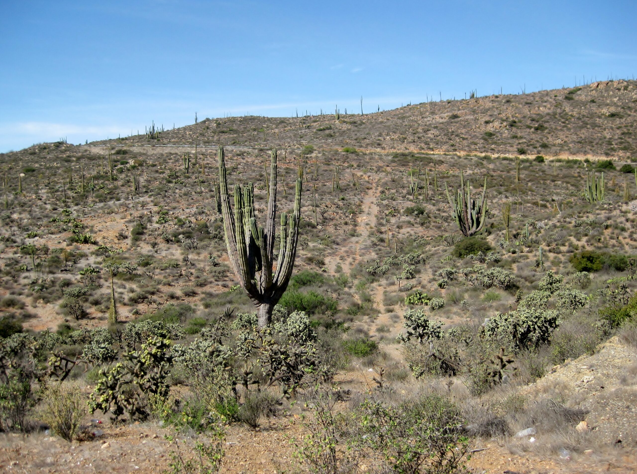 The 'Great Cardón' from The Journey of the Flame novel. The 'Great Cardón' from The Journey of the Flame novel.
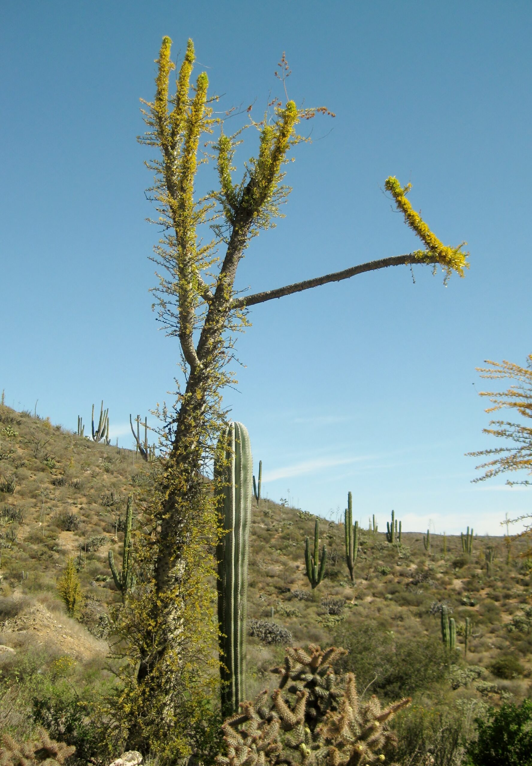 My friend, the boojum! My friend, the boojum!
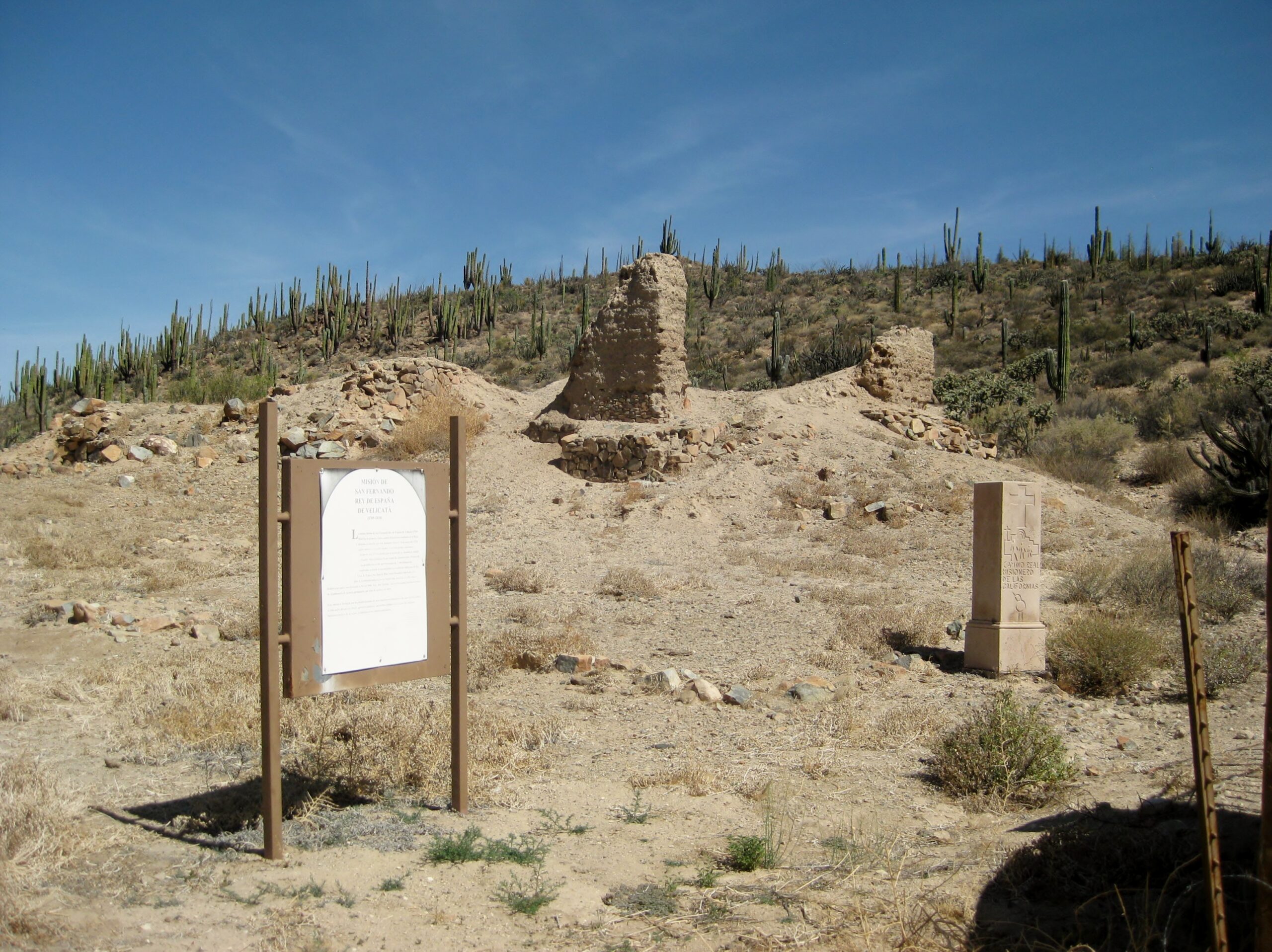
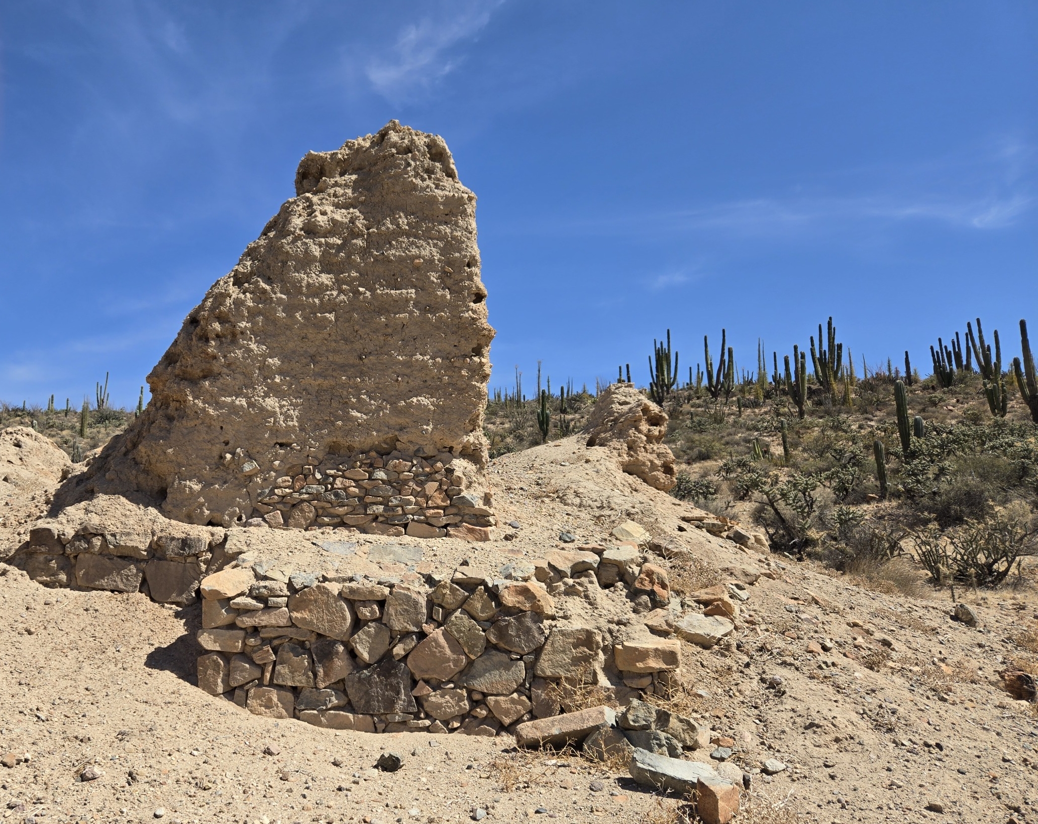
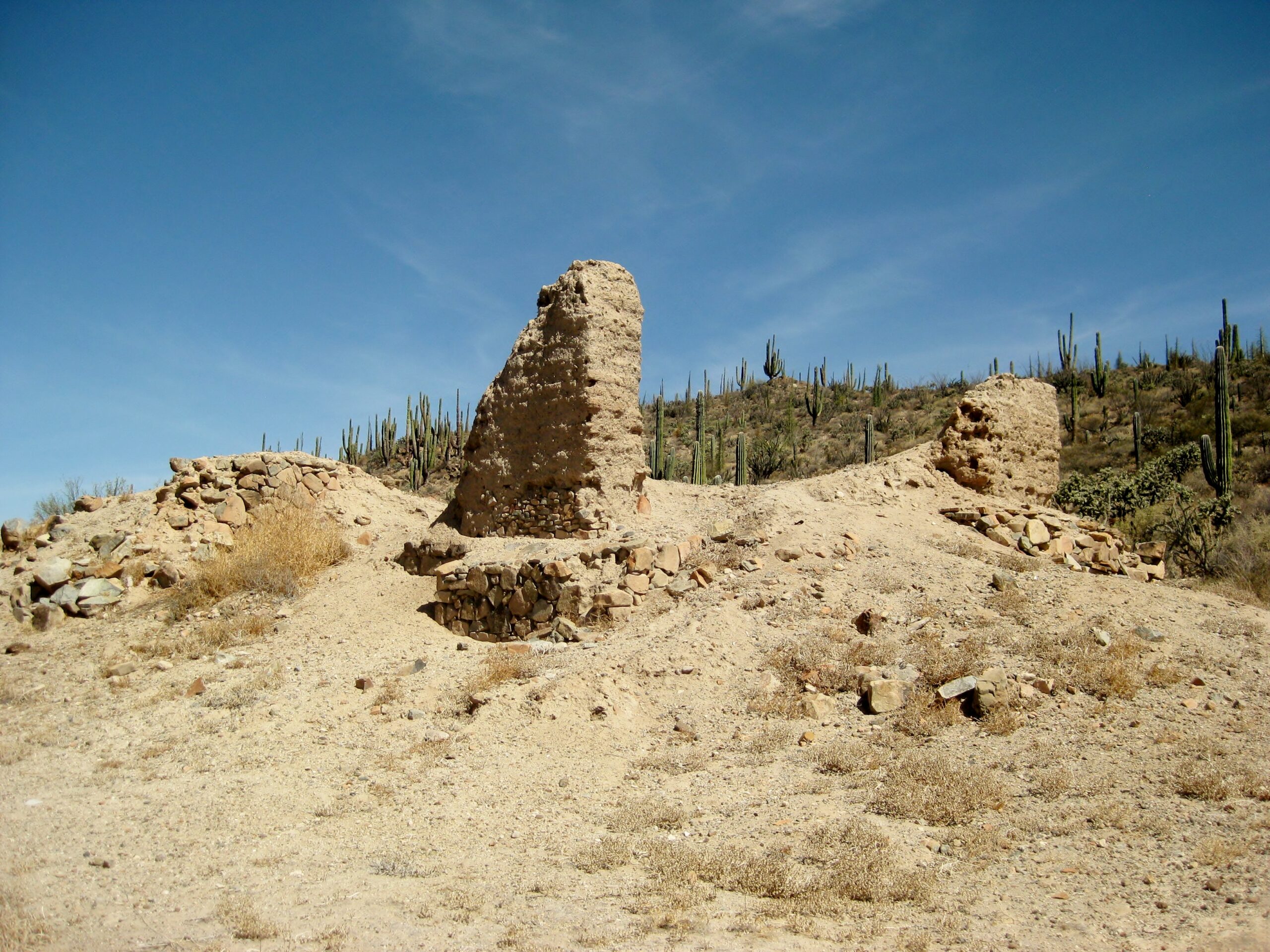
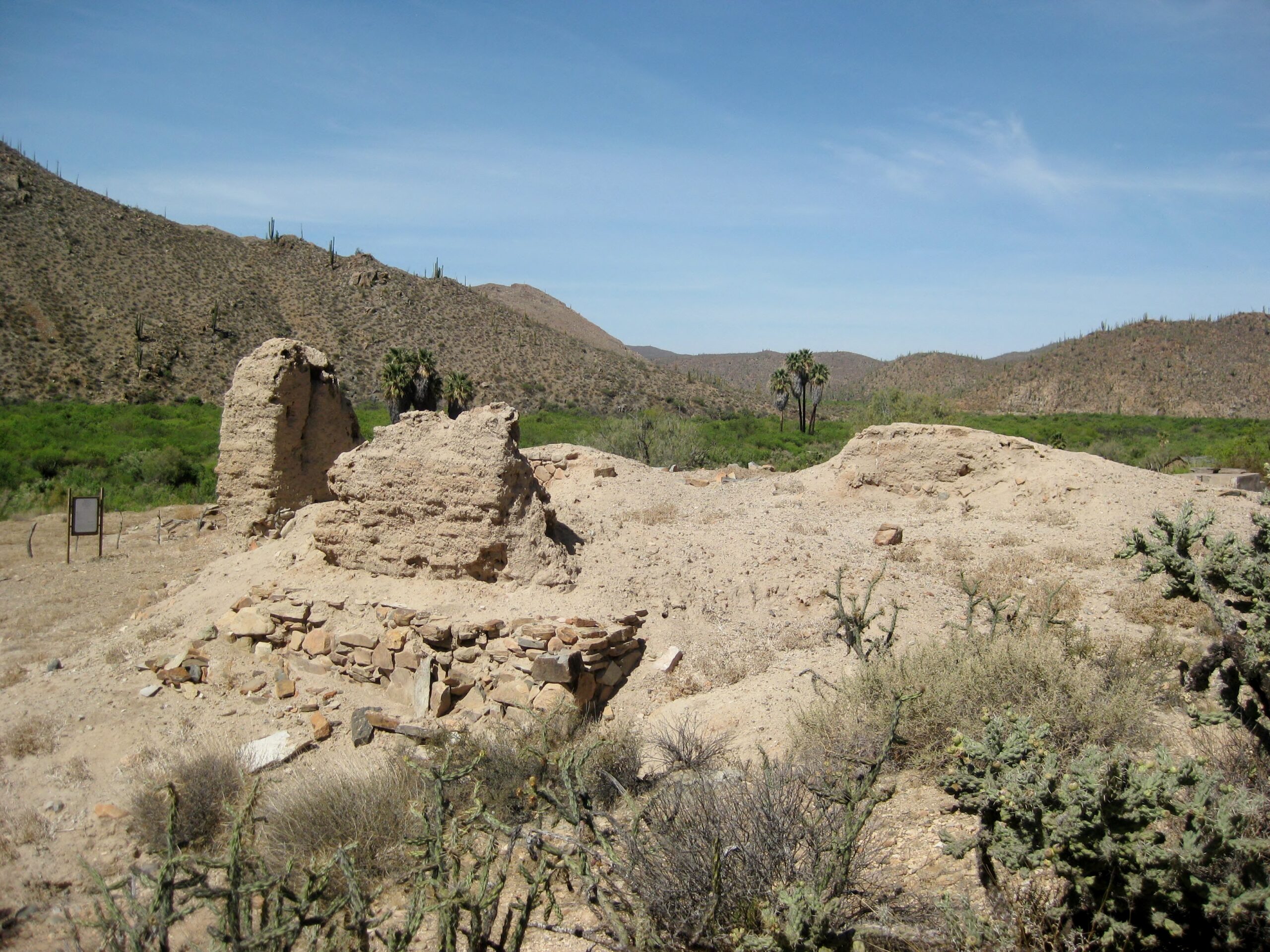
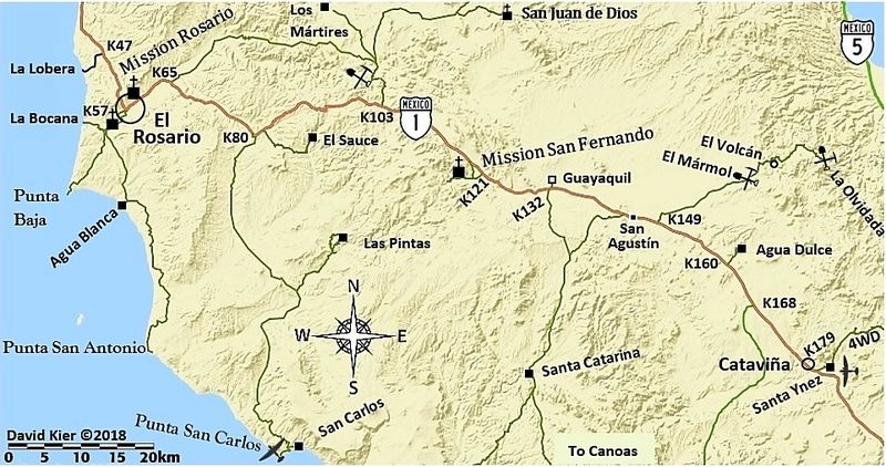
MISSION SAN FERNANDO (1769-1822)
We take the road to Mission San Fernando at the abandoned ruins of El Progreso restaurant (Km. 121). The farm, worked a few years ago, was abandoned.
The gate about a mile in was open... all was good!
In 1975:

In 1926:
 George Hendry photo George Hendry photo
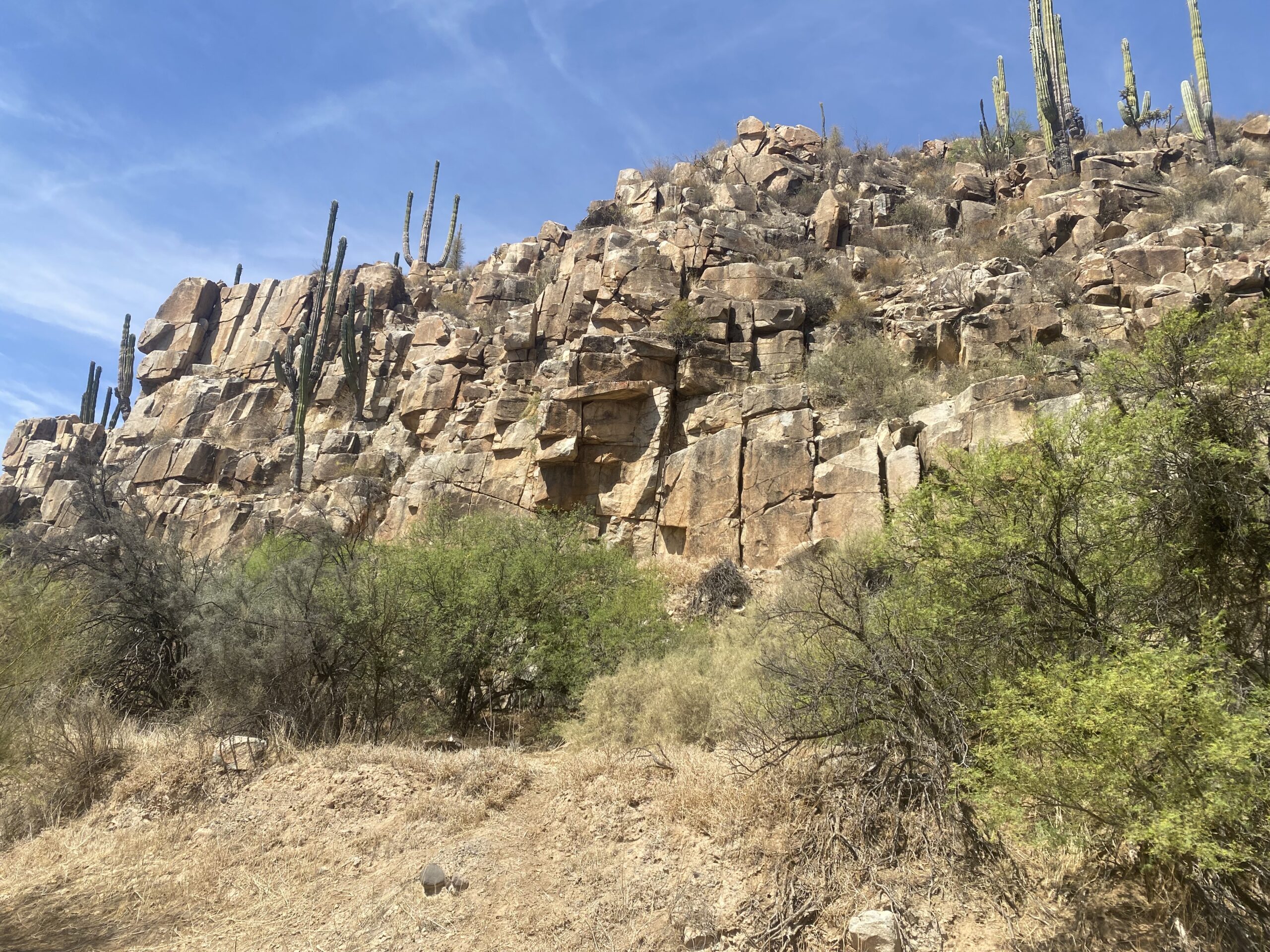
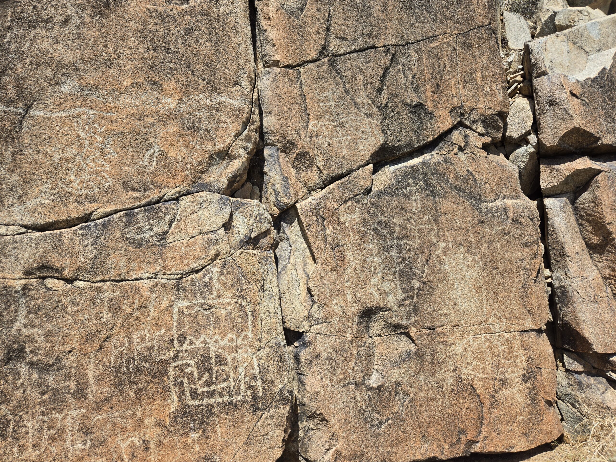
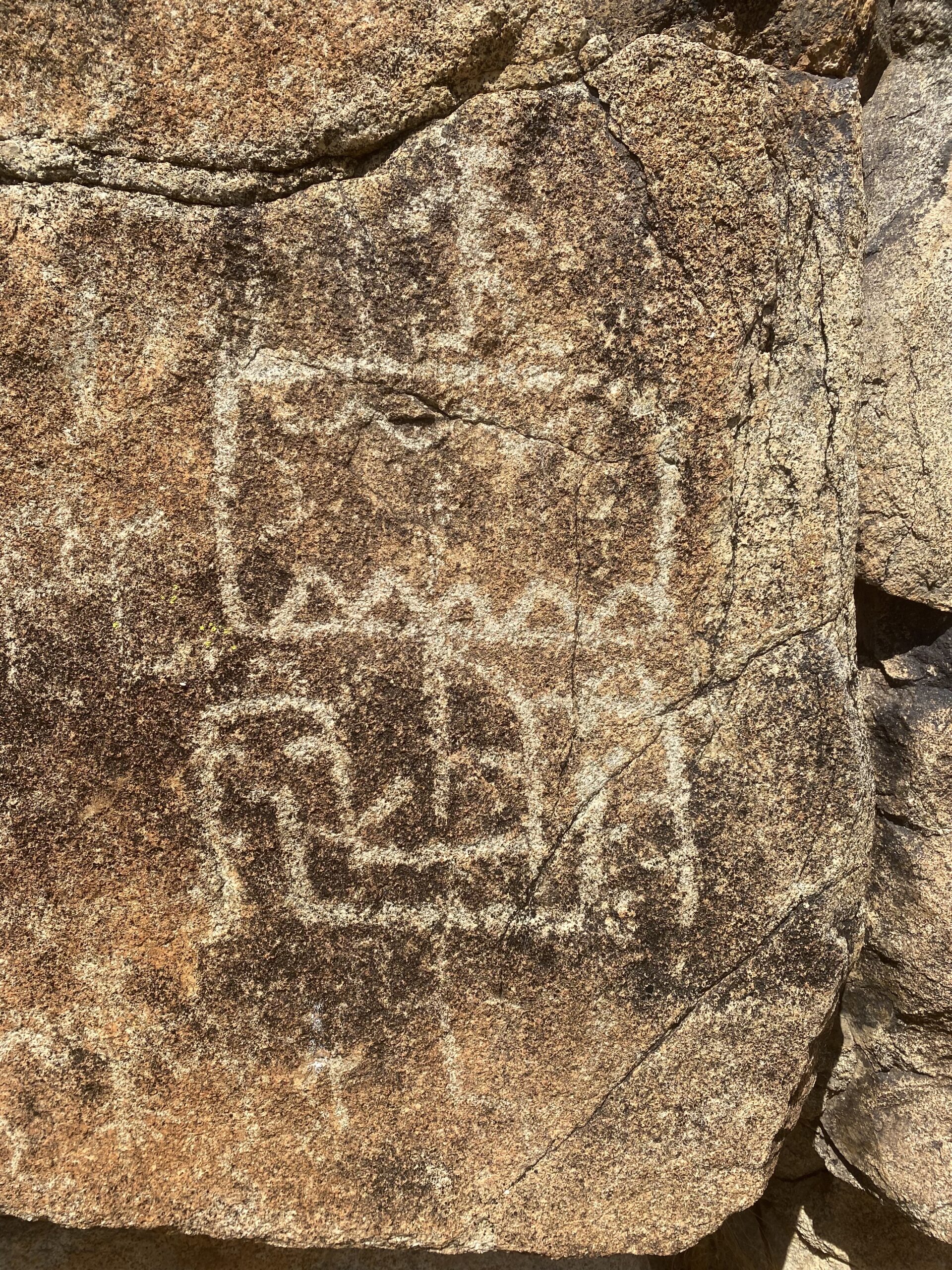
Next, we drive past the mission to see the petroglyph panel on the east-facing cliff, which contains the "Viking ship" as seen on a 2019 America
Unearthed TV episode, 'Vikings in the Desert' with Scott Wolter (and yours truly): https://youtu.be/p7qPoqHSPXE?si=989Y2Ar7BLeBStAC (4-minute clip)
 Dave W. photo Dave W. photo
 Dave W. photo Dave W. photo
 Dave W. photo Dave W. photo
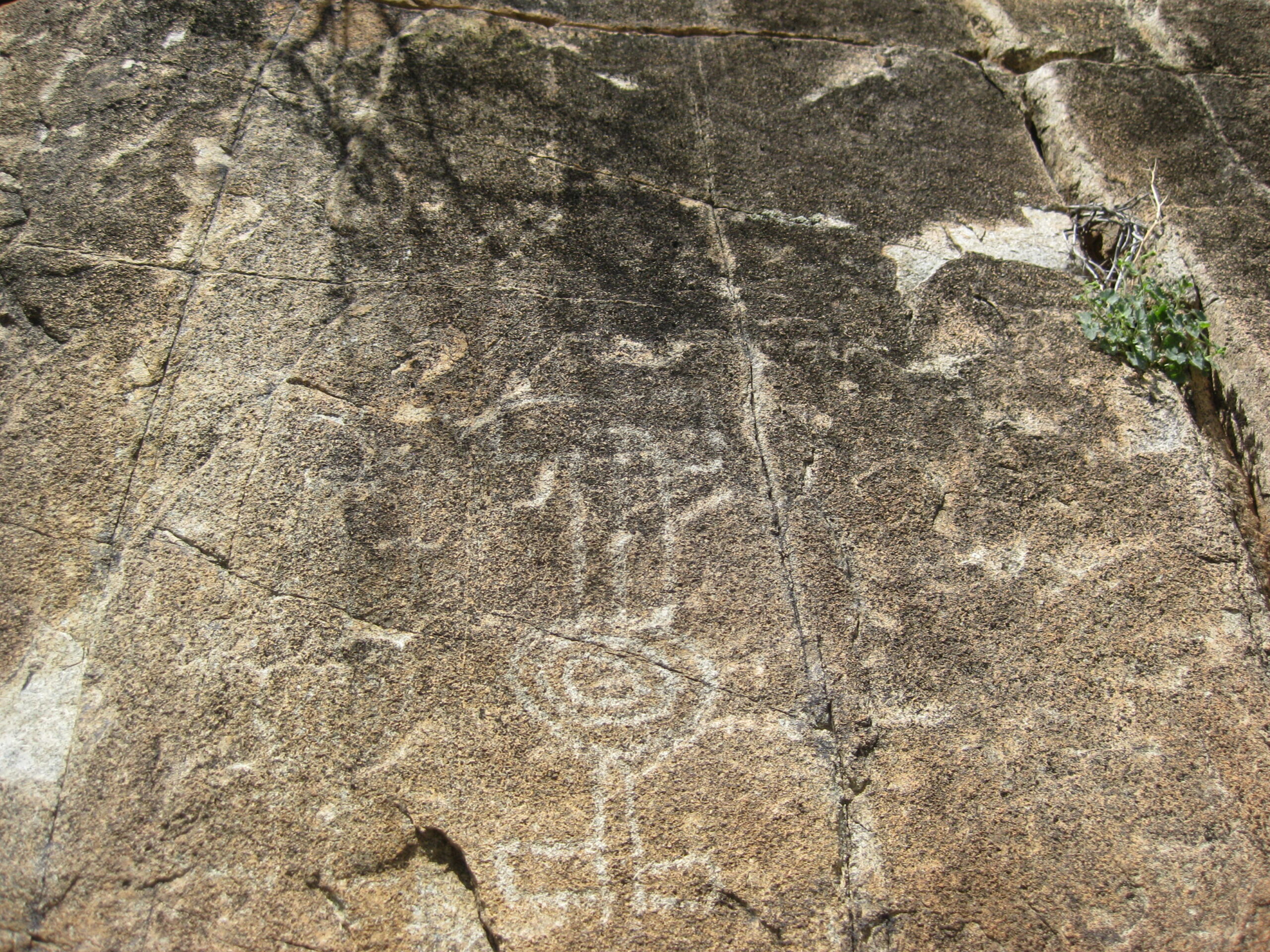
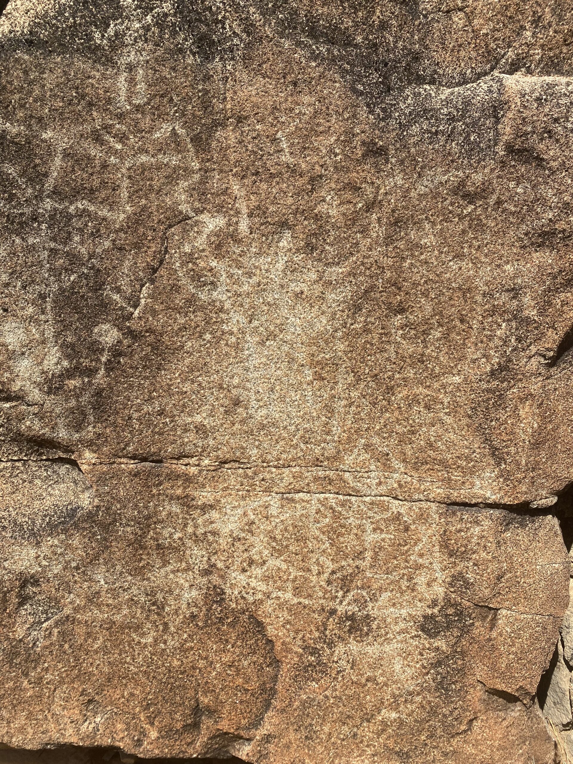
In the morning sunlight, the markings are less noticeable. They look better in the afternoon.
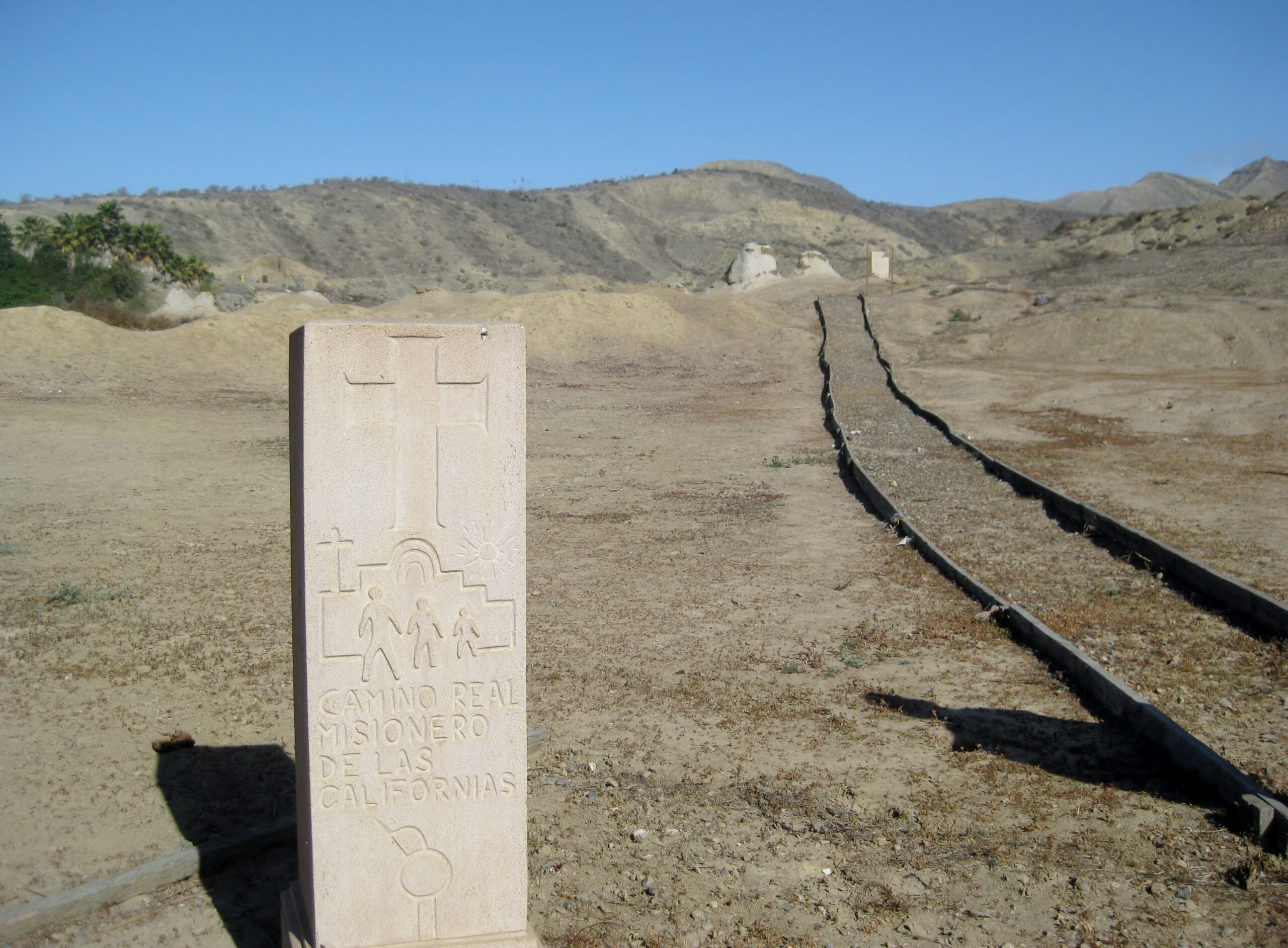
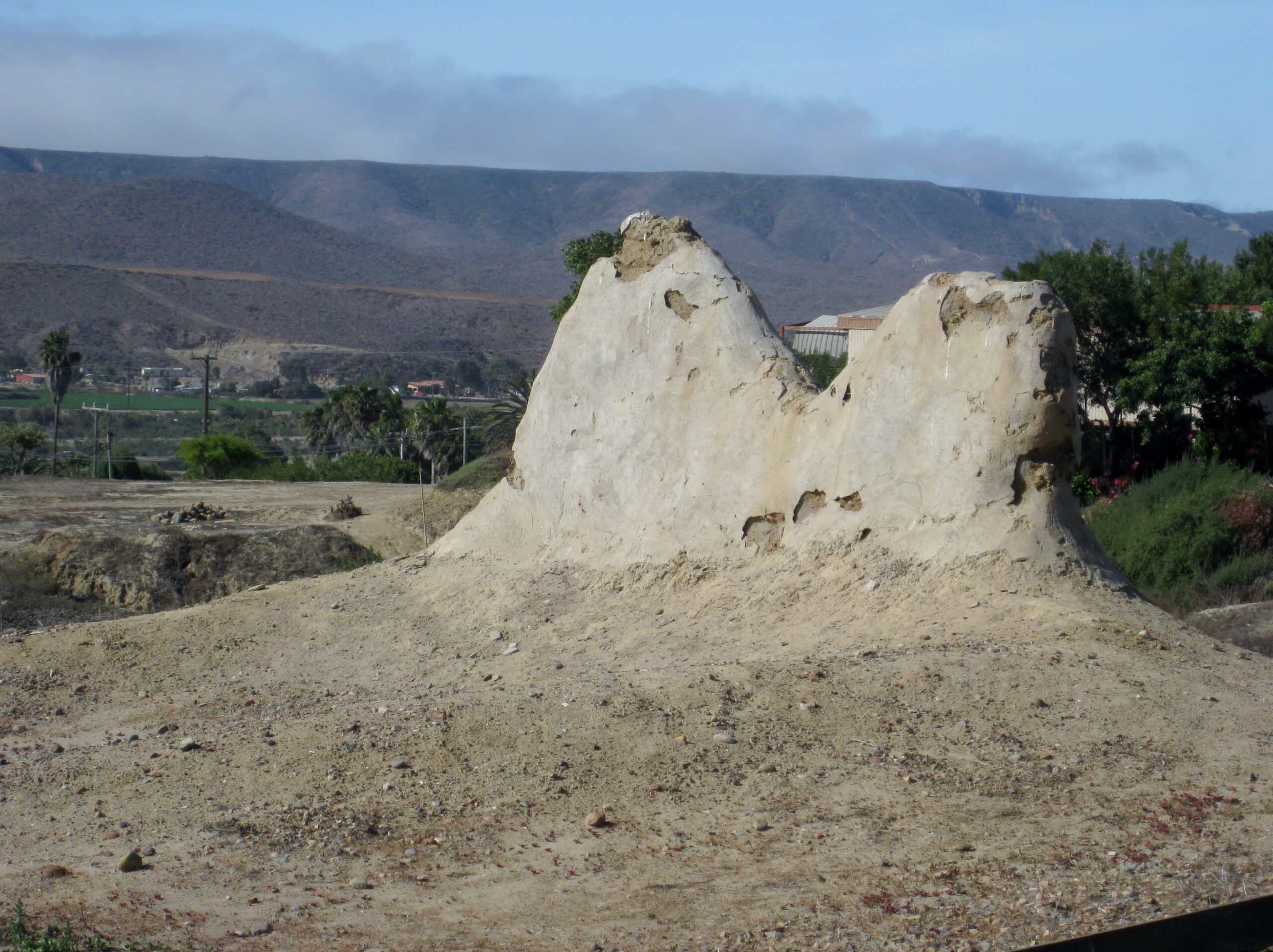
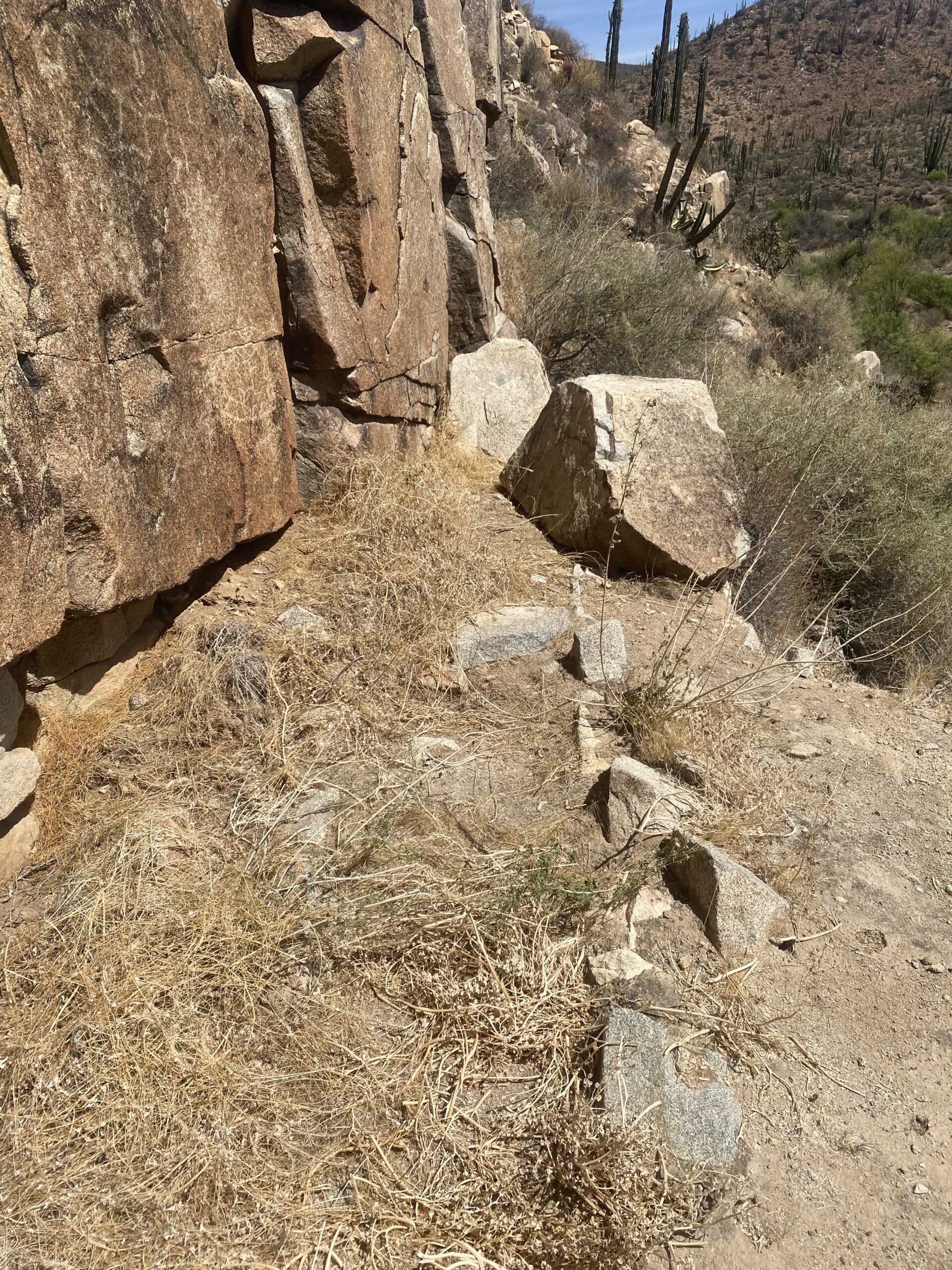
The brush has overgrown the road before the cliff, so we walk the 1/4 mile remaining. Along the way, we notice the aqueduct built by the mission that
feeds a large reservoir, past the cliff. This aqueduct bench is what you stand on to see the petroglyphs up close.
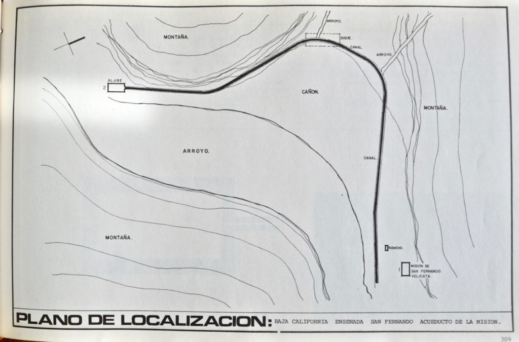
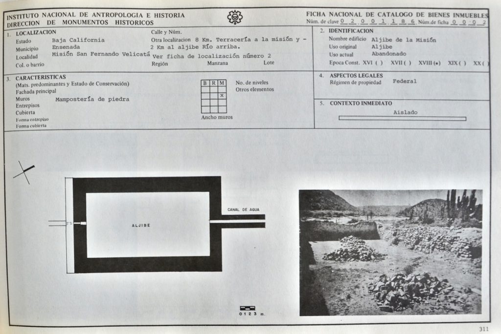
Here is INAH's plan of the water works:
 Dave W. photo Dave W. photo
Canal/ aqueduct photos by both David K & Dave W.:


This is where I stopped to rest, a large pond was over the road before reaching the reservoir. Dave went on to see it. There were ducks in the pond!

This was a great day, so far!
In the next part, we go to El Mármol and see the world's only onyx block schoolhouse, and more!
PART 5: https://forums.bajanomad.com/viewthread.php?tid=101820
[Edited on 5-19-2025 by David K]
|
|
|
David K
Honored Nomad
Posts: 65563
Registered: 8-30-2002
Location: San Diego County
Member Is Offline
Mood: Have Baja Fever
|
|
Catching my breath, and letting this wonderful trip excitement soak in, we saw some great sites.
Baja is such a wonderful gift if you love history and photography!
|
|
|
|


