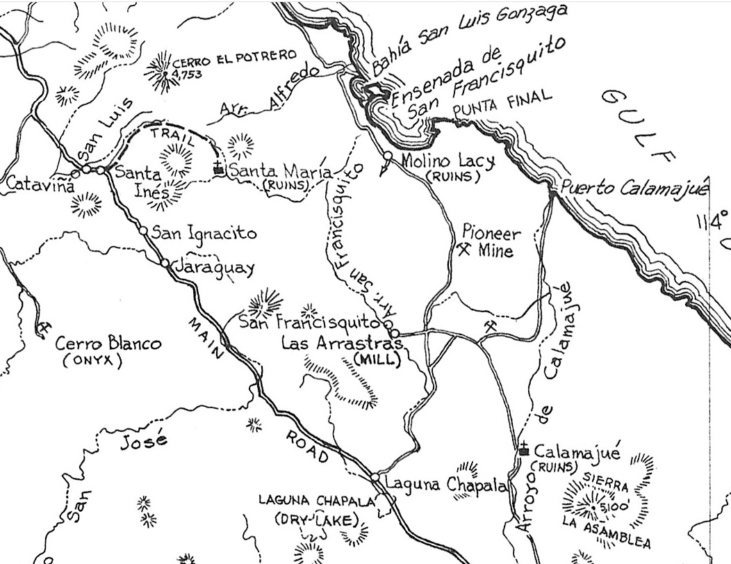
Every time I pass south through Catavina, I always find it refreshingly life enhancing and make a point to stop and walk around to breathe in that
pure as it comes desert air.
Staying a night for the first time in fifty years at the Hotel Santa Maria a couple of years ago will have me returning, as sure as I do at their
sister hotel in San Quintin on their sand dollar beach every year.
I will make a point next time to take a mile hike to a cave painting site out the back. I stopped by in early March for a bathroom break and found
the wind was howling like a muther and kept going to their sister hotel in the San Quintin Valle. Next time!
I have never found the Valle de Cirios sad in any way. I hope it remains as incomparable as it has always been for me.
Spending a night a mile off the road camping among the house sized boulders has been the quietest spot I have ever experienced. Hearing my own blood
cursing through my veins was a first for this ocean lover who has always parked by the waves. I was completely, or mostly, haha, sober that night as
the campfire flames reflected off the boulders. What a show! Peace love and fish tacos.
Now back to the topic.
|


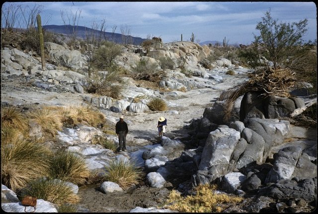
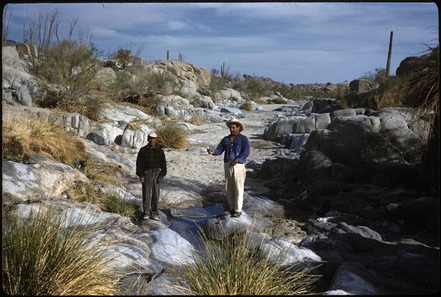
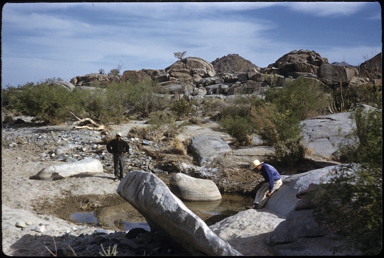 1959
1959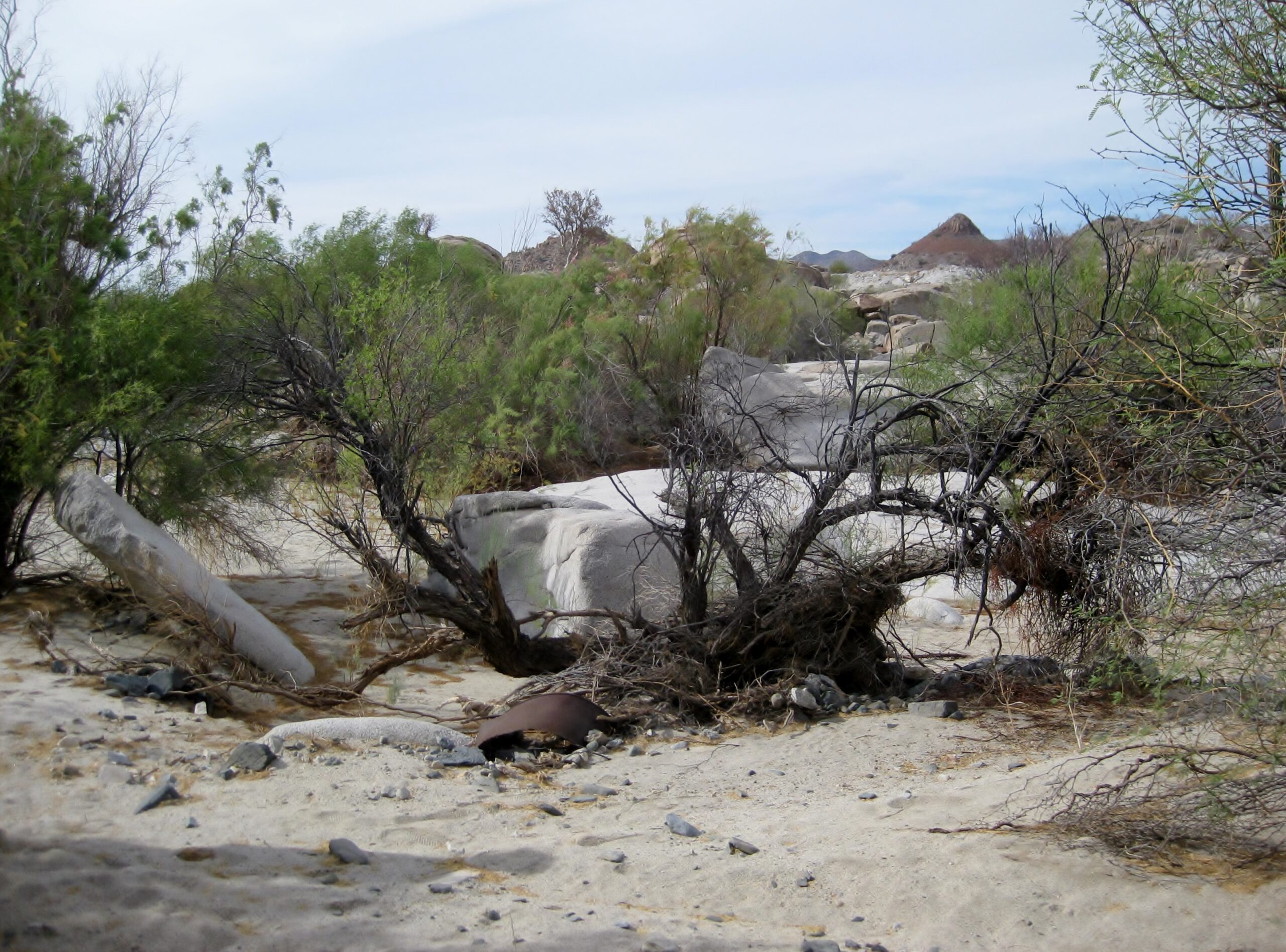 2025
2025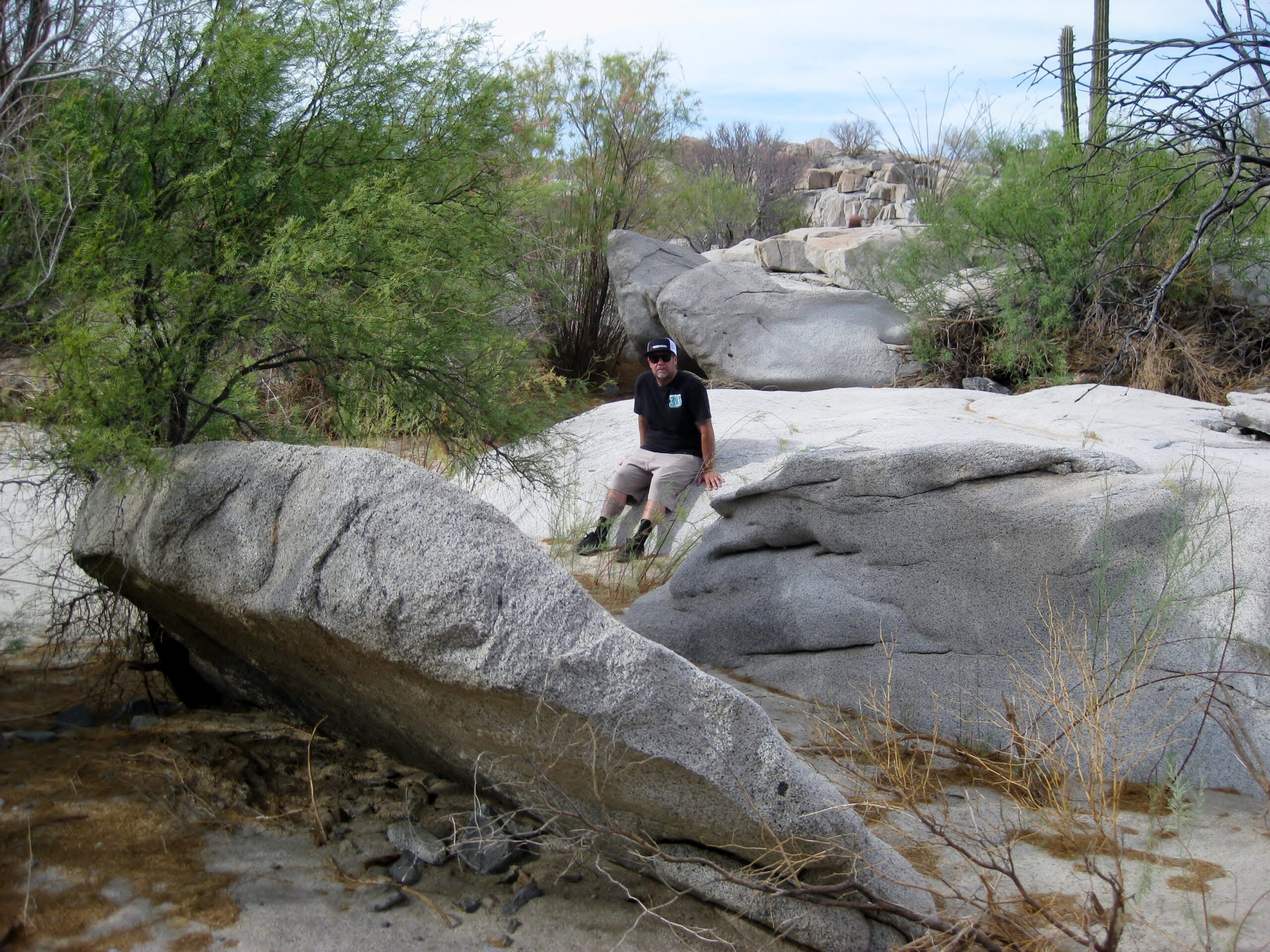 2025
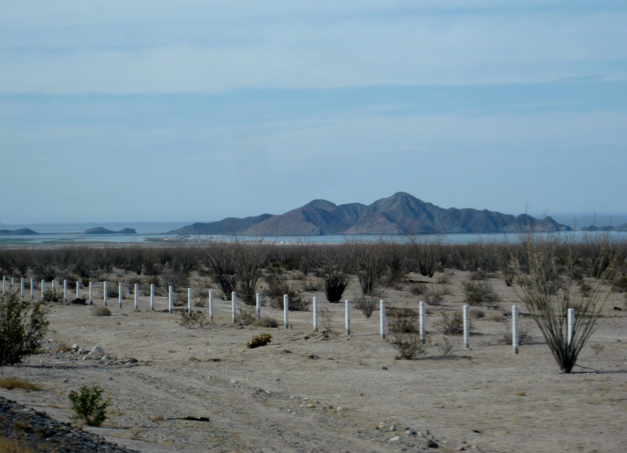
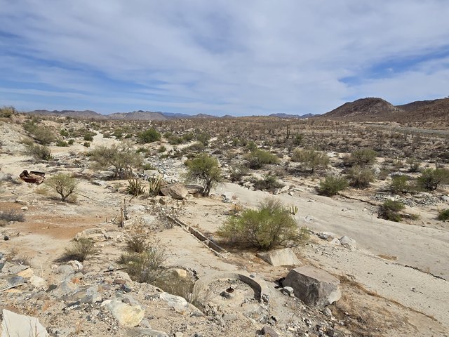
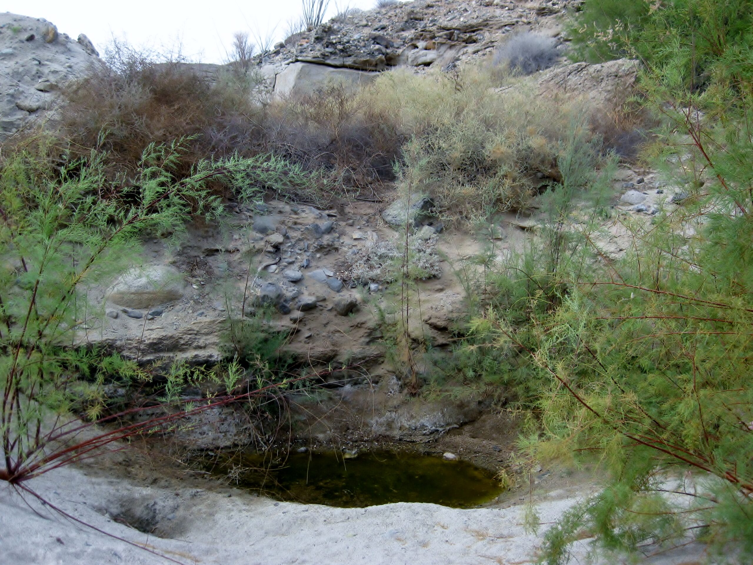
2025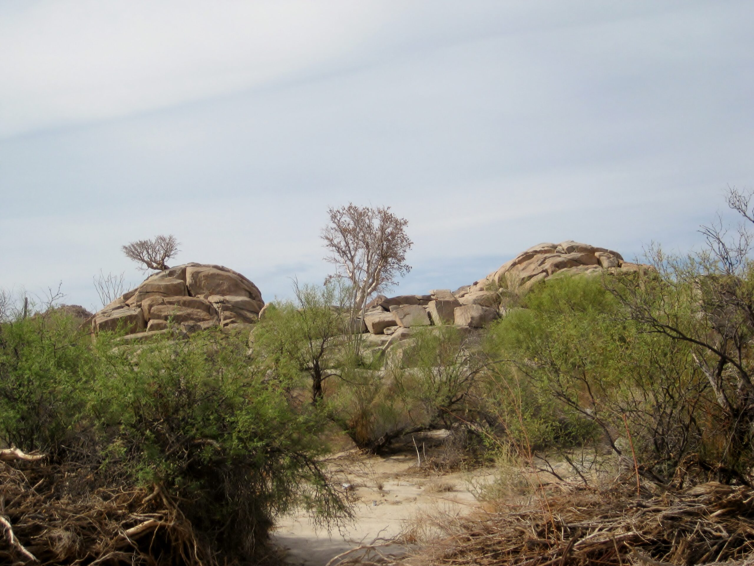 Compared to the 1959 photo, the elephant tree in the middle is new.
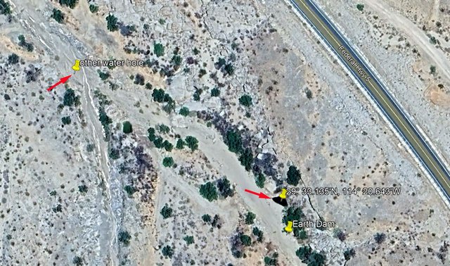
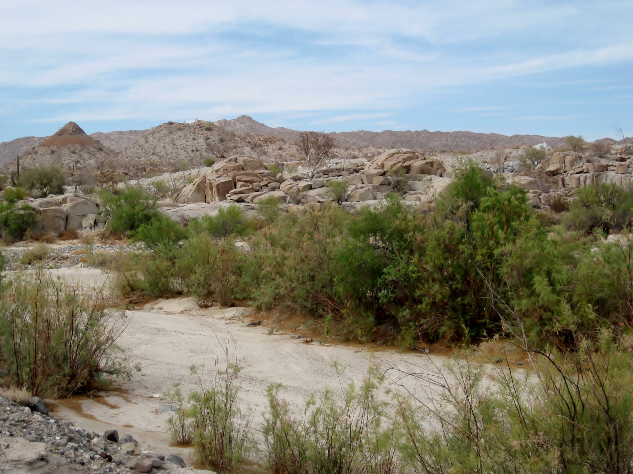 Mex 5 is on the other side of the boulders. The waterhole today is to the right (south) and the 1959 photo spot is just to the
left.
Mex 5 is on the other side of the boulders. The waterhole today is to the right (south) and the 1959 photo spot is just to the
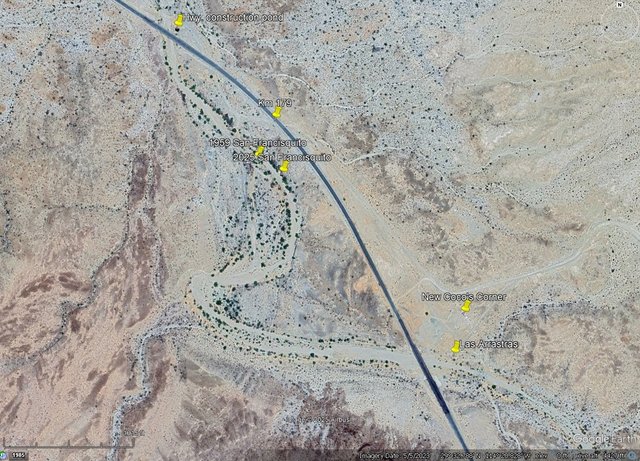
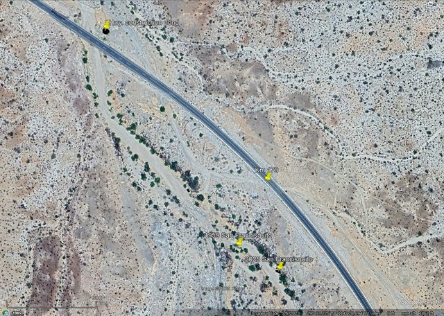
left.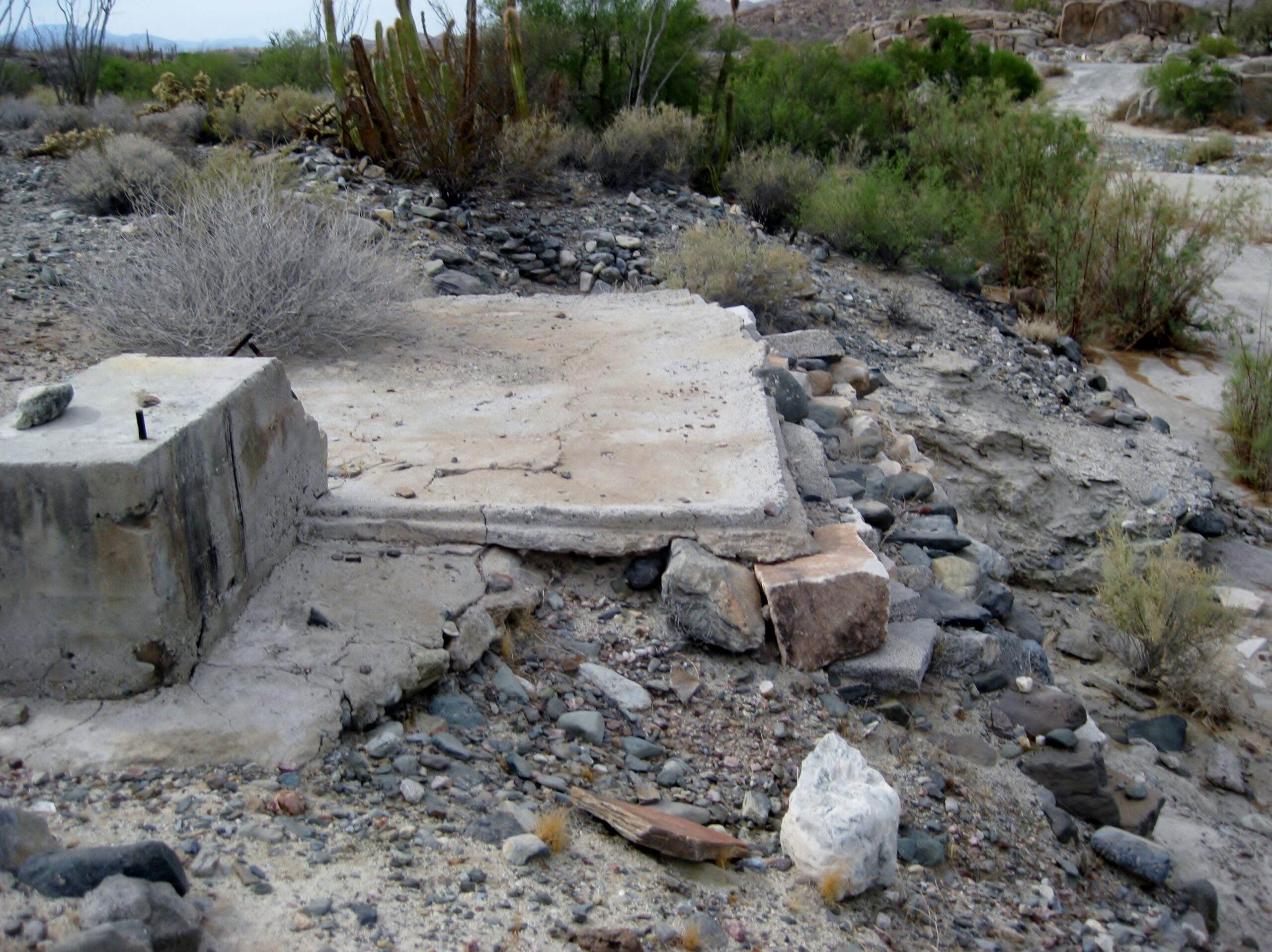 This was on the west bank of the arroyo, near San Francisquito.