David K
Honored Nomad

Posts: 65563
Registered: 8-30-2002
Location: San Diego County
Member Is Offline
Mood: Have Baja Fever
|
|
Baja 5-25: Missions & More. PART 7 (San Judas)
Continued from Part 6: https://forums.bajanomad.com/viewthread.php?tid=101849
Dave was as happy as I to have found the location of the 1959 photograph, with that uplifted flat rock. Now, we headed north, still uncertain of where
that night would be. We grabbed a bag of ice and a soda at the Rancho Grande market and drove into Papa Fernandez' in hopes of getting a meal. The
doorway into the little restaurant was blocked, even though the ladies were inside cooking. A gringo was sitting outside of the kitchen door and said
they were cooking... but we were not comfortable walking into their kitchen to get a seat. If they wanted business, then they would take the barricade
away from the main door. I was hoping to show Dave the photo of Papa with John Wayne. We were hungry for a hot meal, so we elected to push north to
Colonia Delicias and hopefully find one of the little cate's open there.
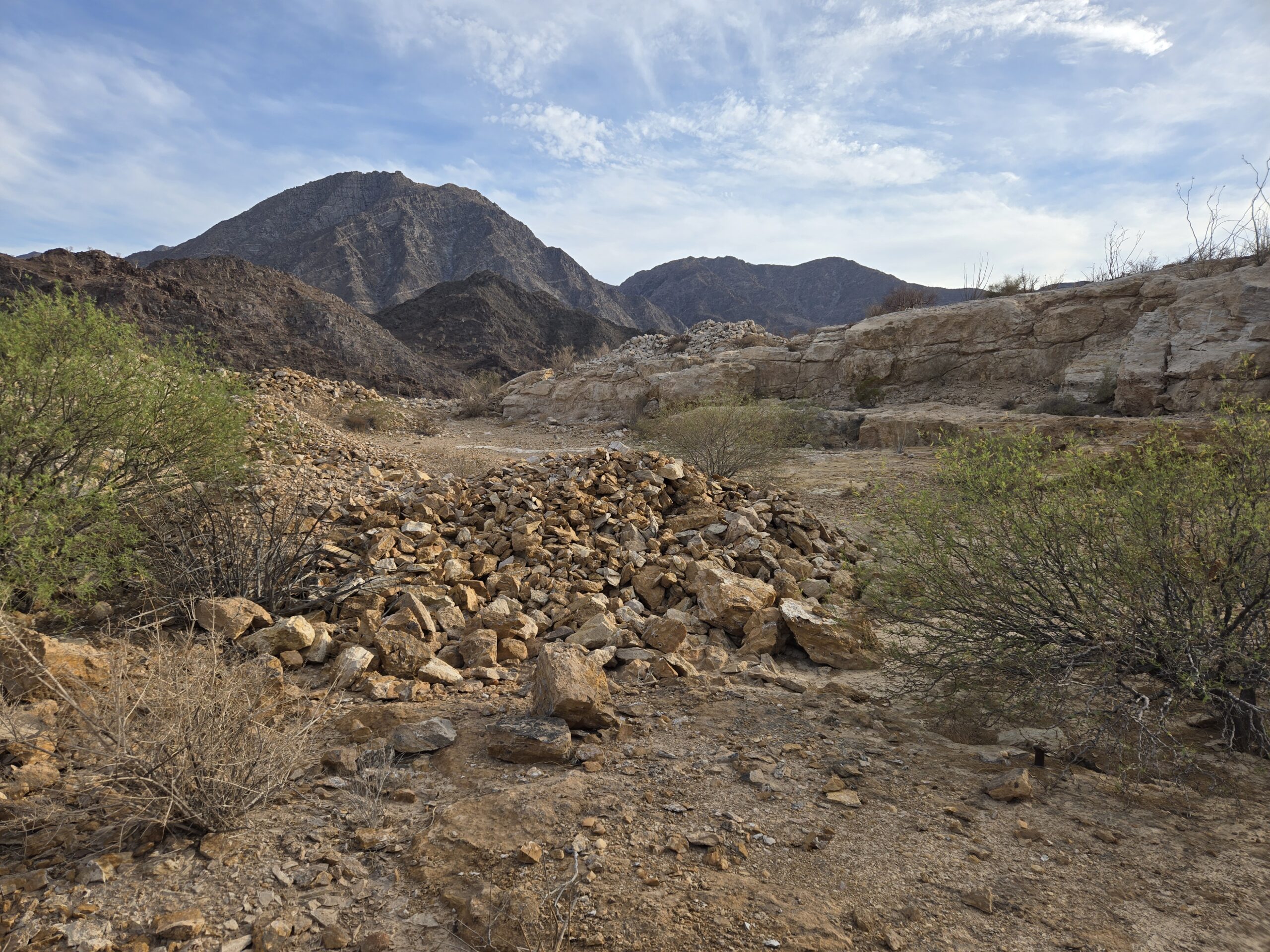
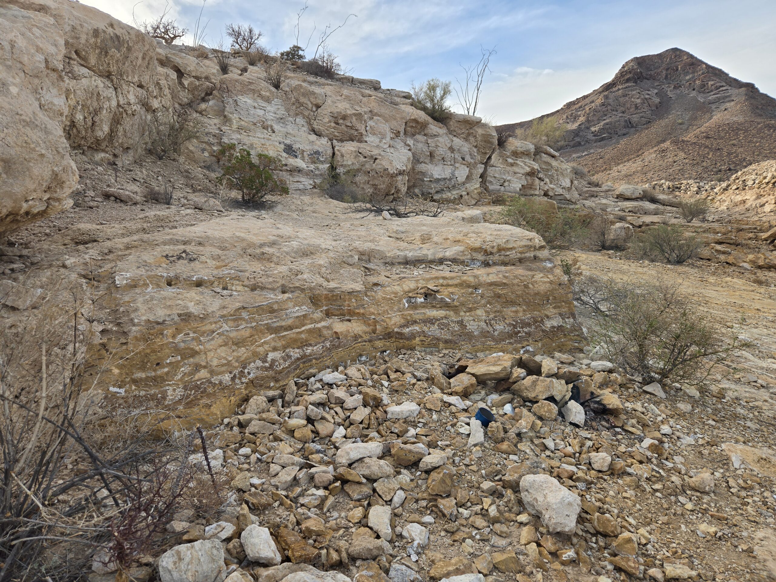
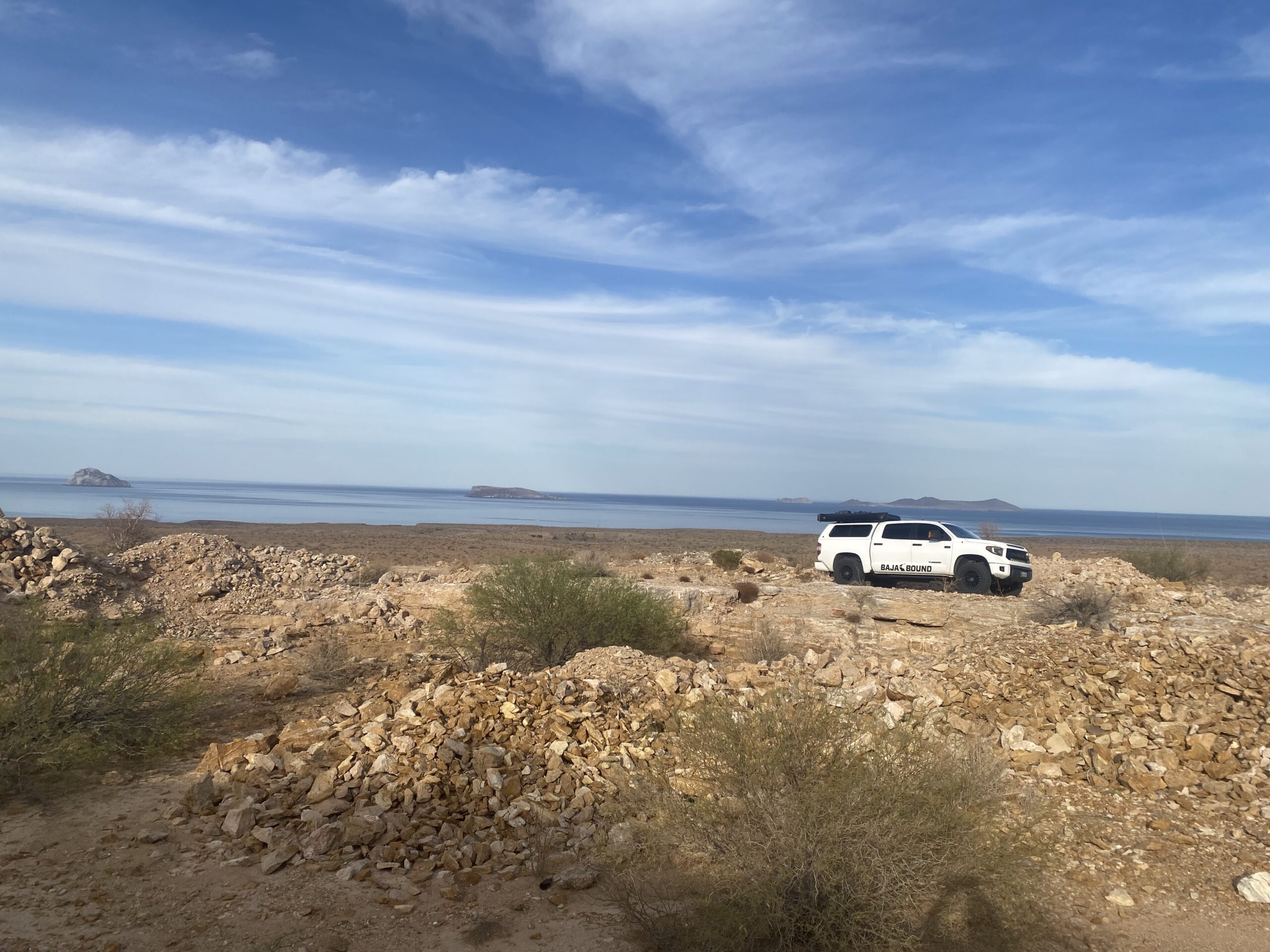
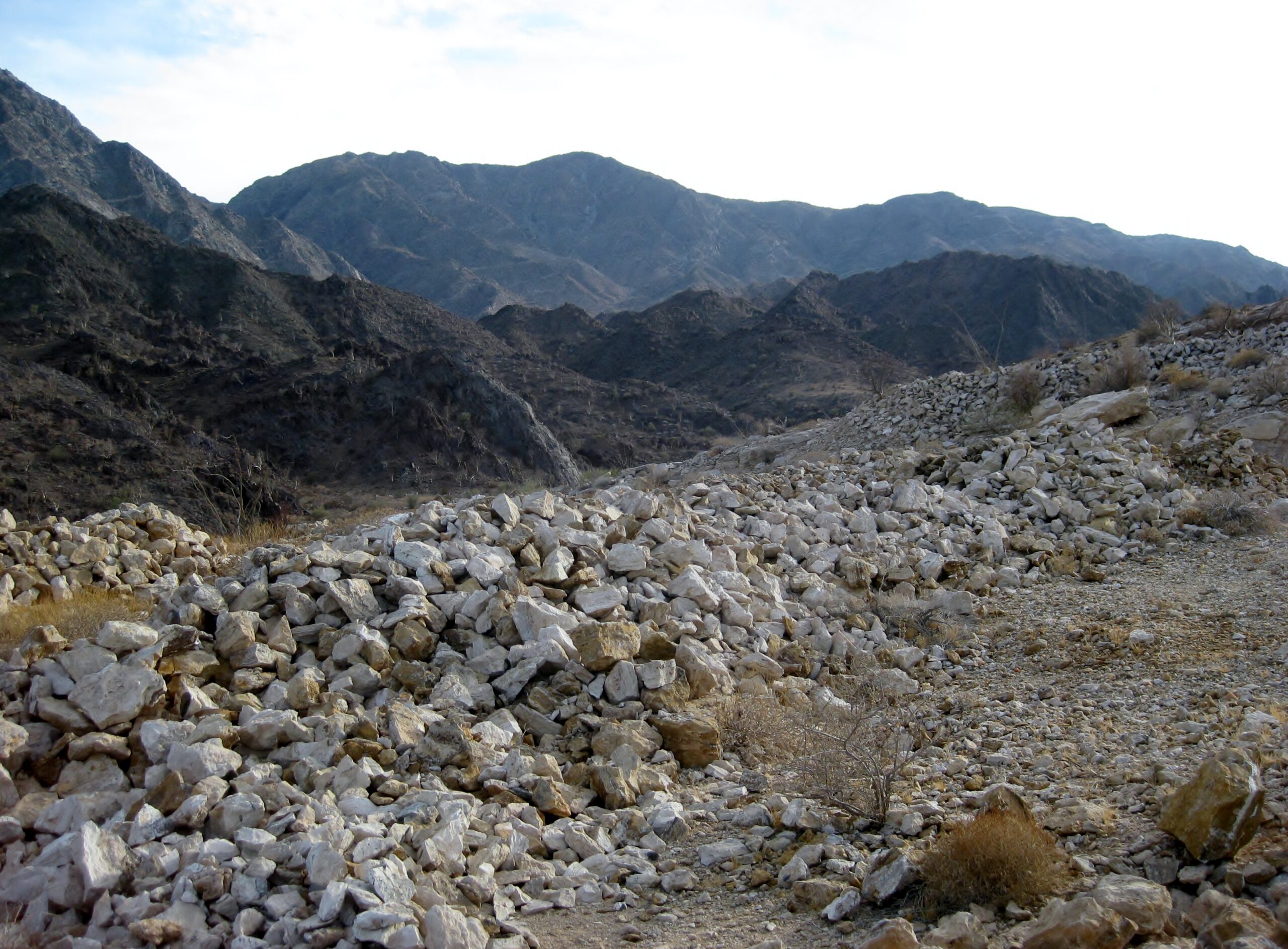
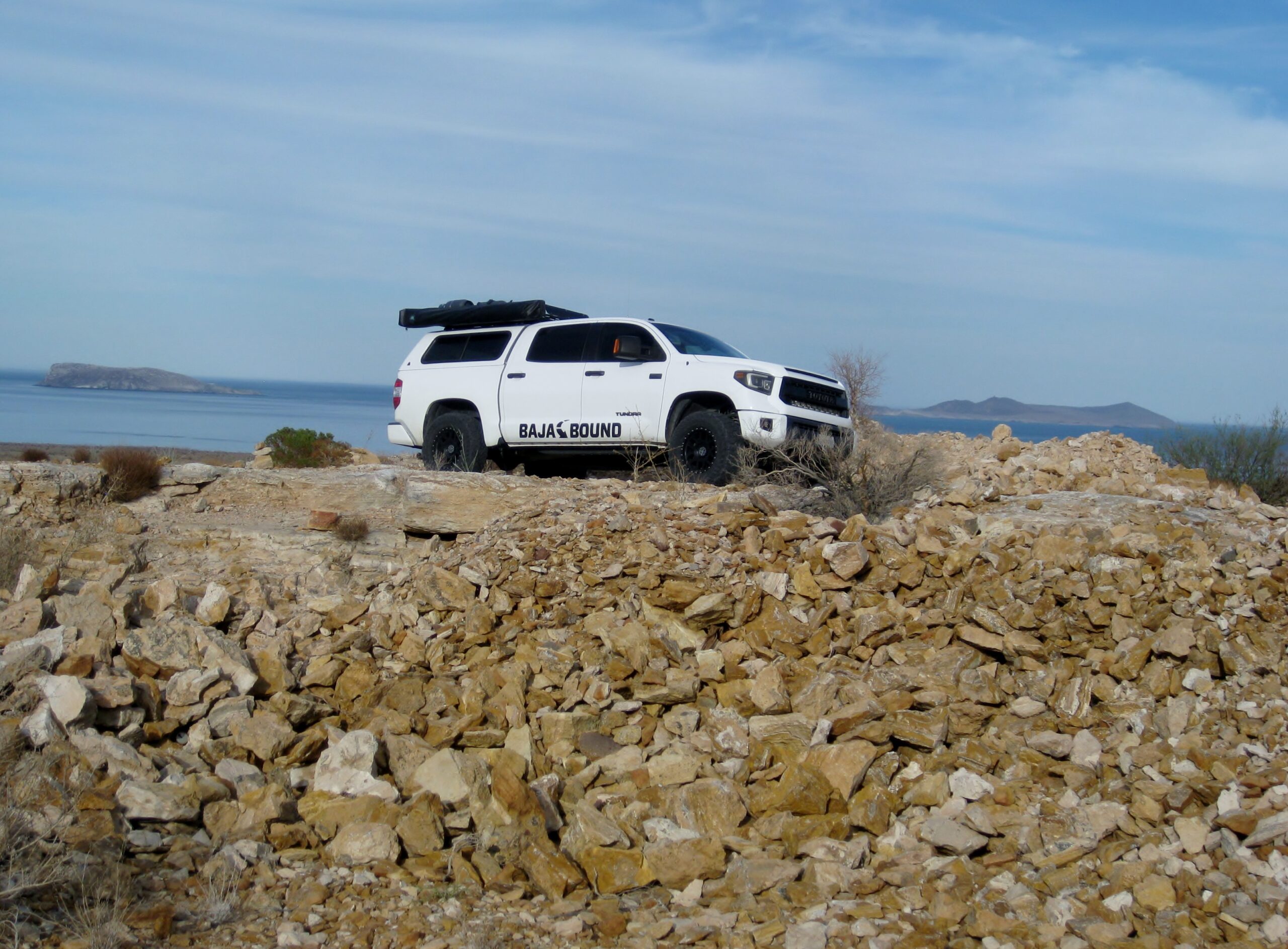
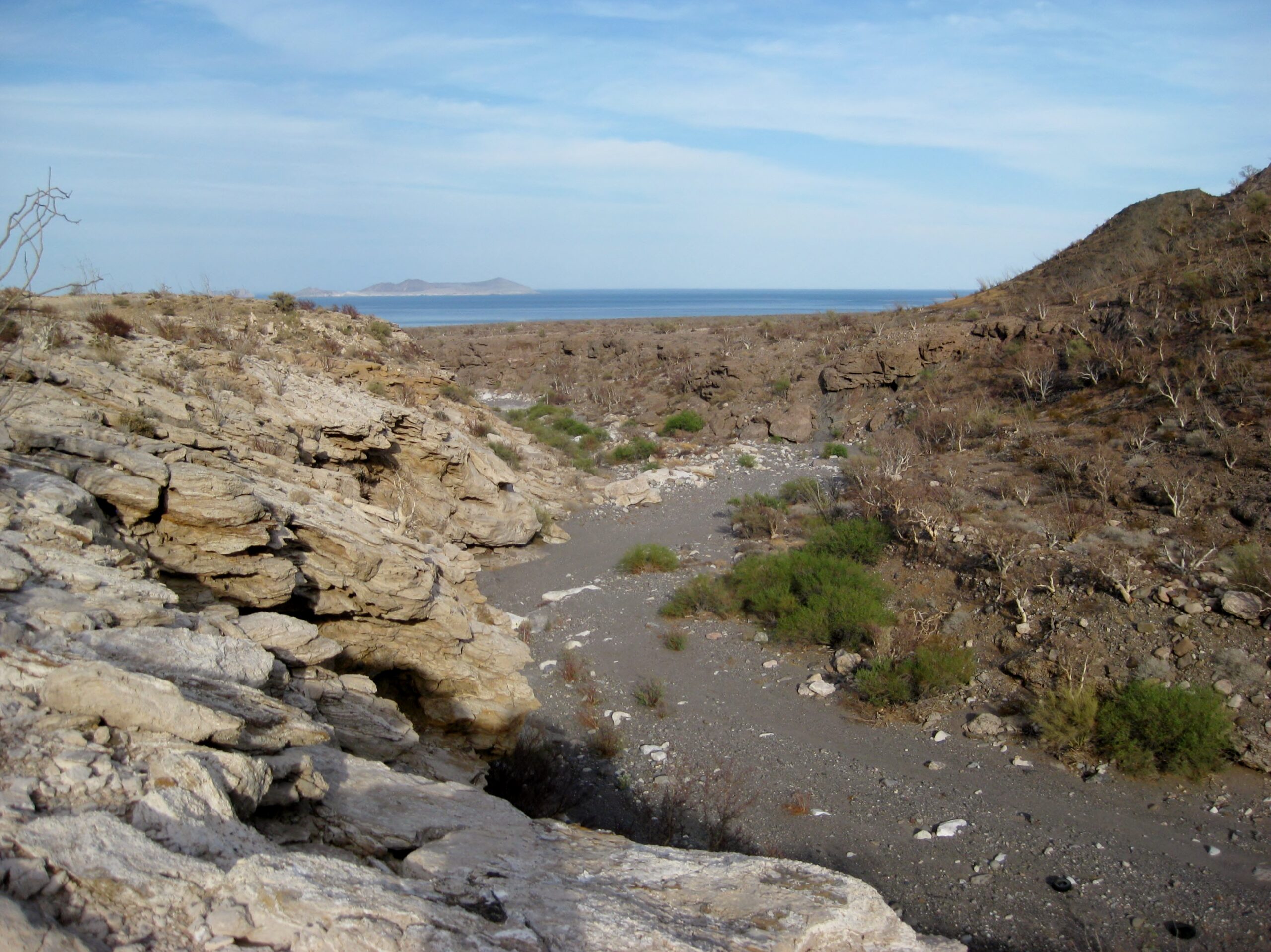
We did make time to check one of the sites on my list of places to see, the San Judas onyx mine. Just south of that road, we looked for another road,
that goes into the arroyo containing Agua del Mezquitito. Alas, we didn't spot that road.
San Judas was worked in the late 1960s and after. It appears on Cliff Cross's Baja map of 1970. Topo maps of the 70s and after show it and a landing
strip for planes. The road is approx. at Km. 118.5, where there is a gap between the end of a guardrail and a white culvert. The road parallels the
highway for a bit then there is a fork to the west, uphill. The airstrip was ditched sometime ago by the military to prevent use by drug runners. Park
at the mine area, about one mile from leaving the highway. On Google Earth, you can see the airstrip's concrete runup pad. The onyx dig is just west
of there.
Photos of San Judas:
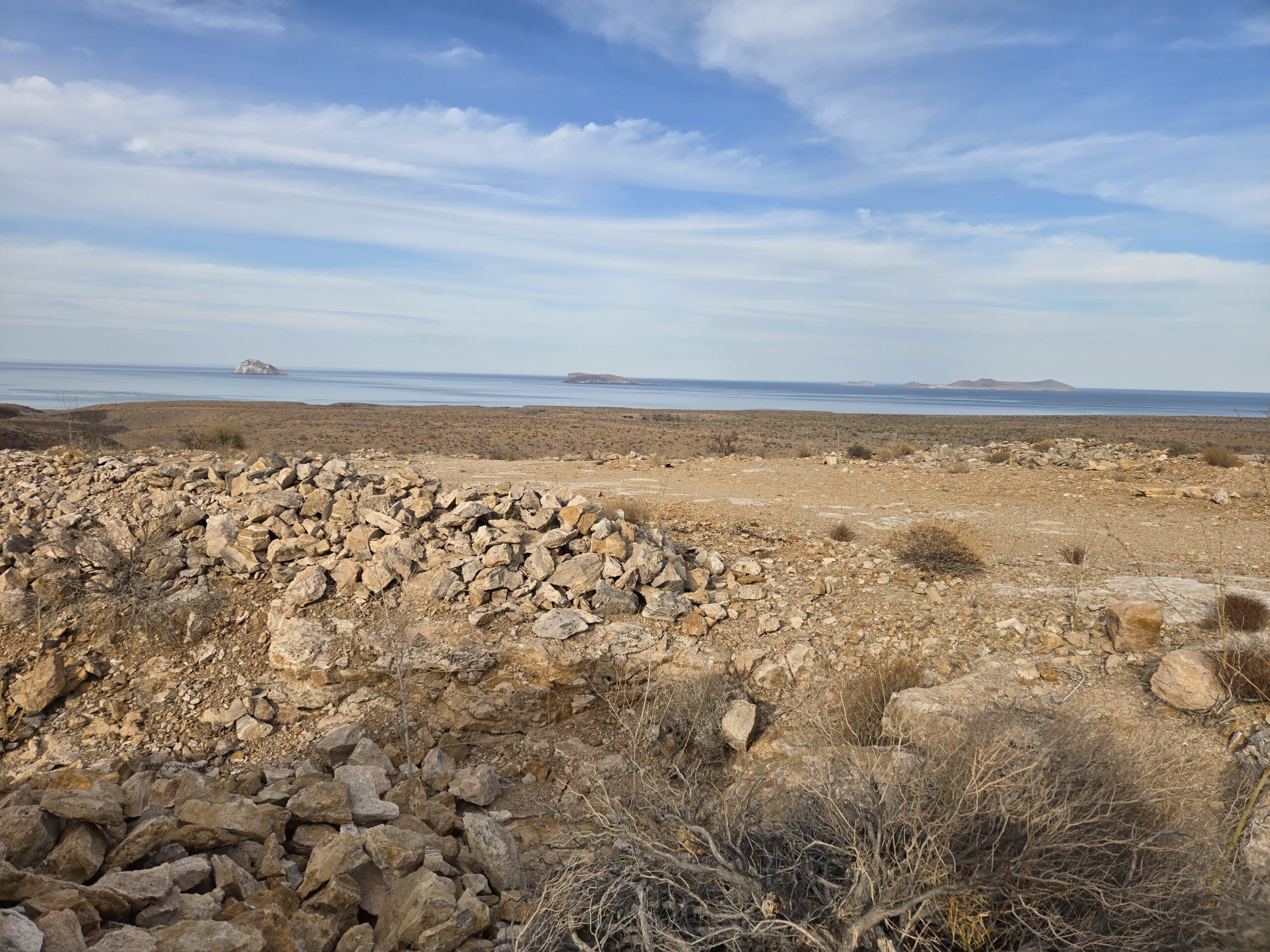

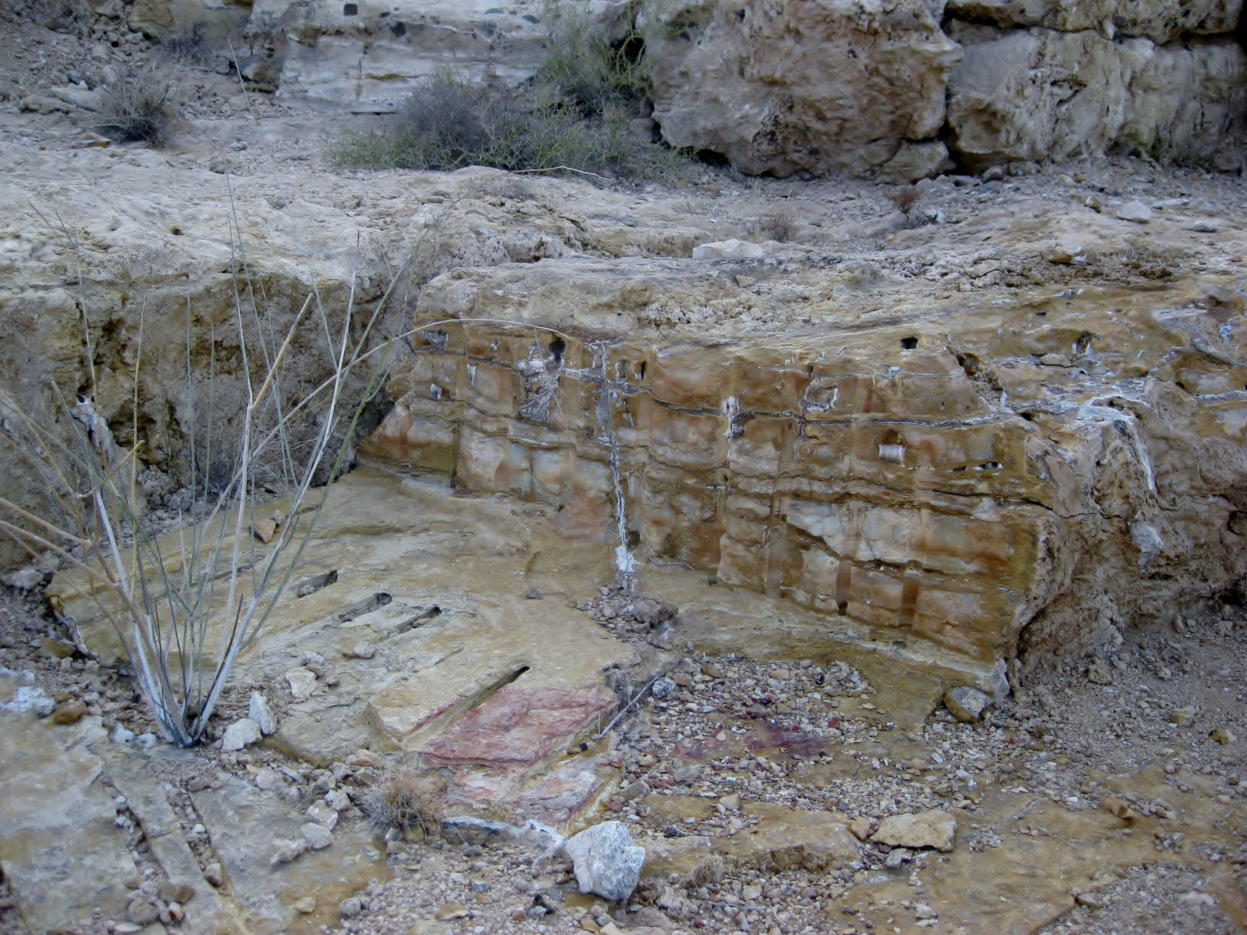
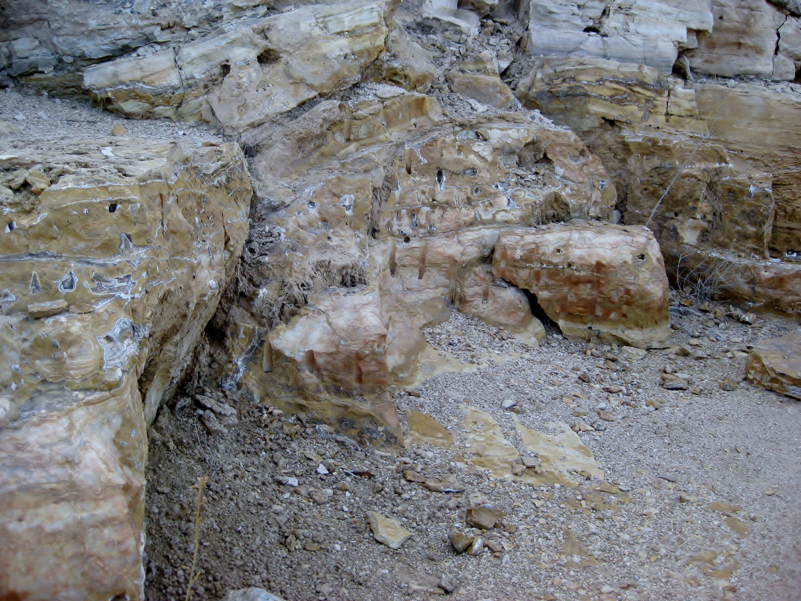
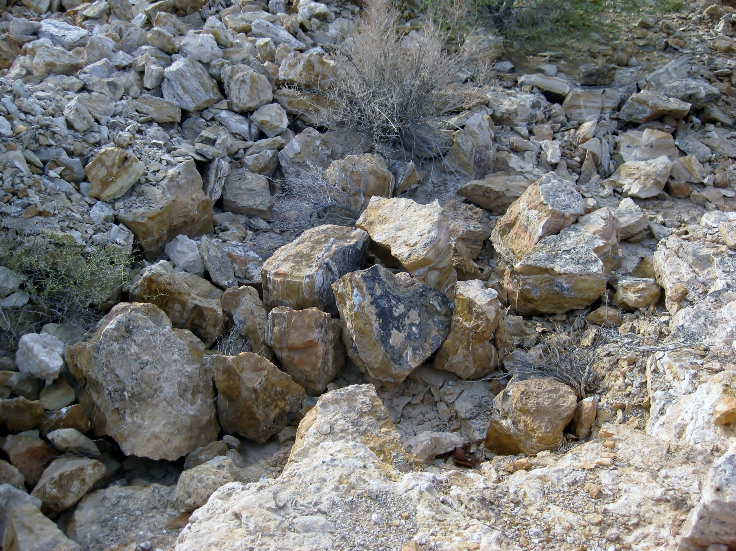
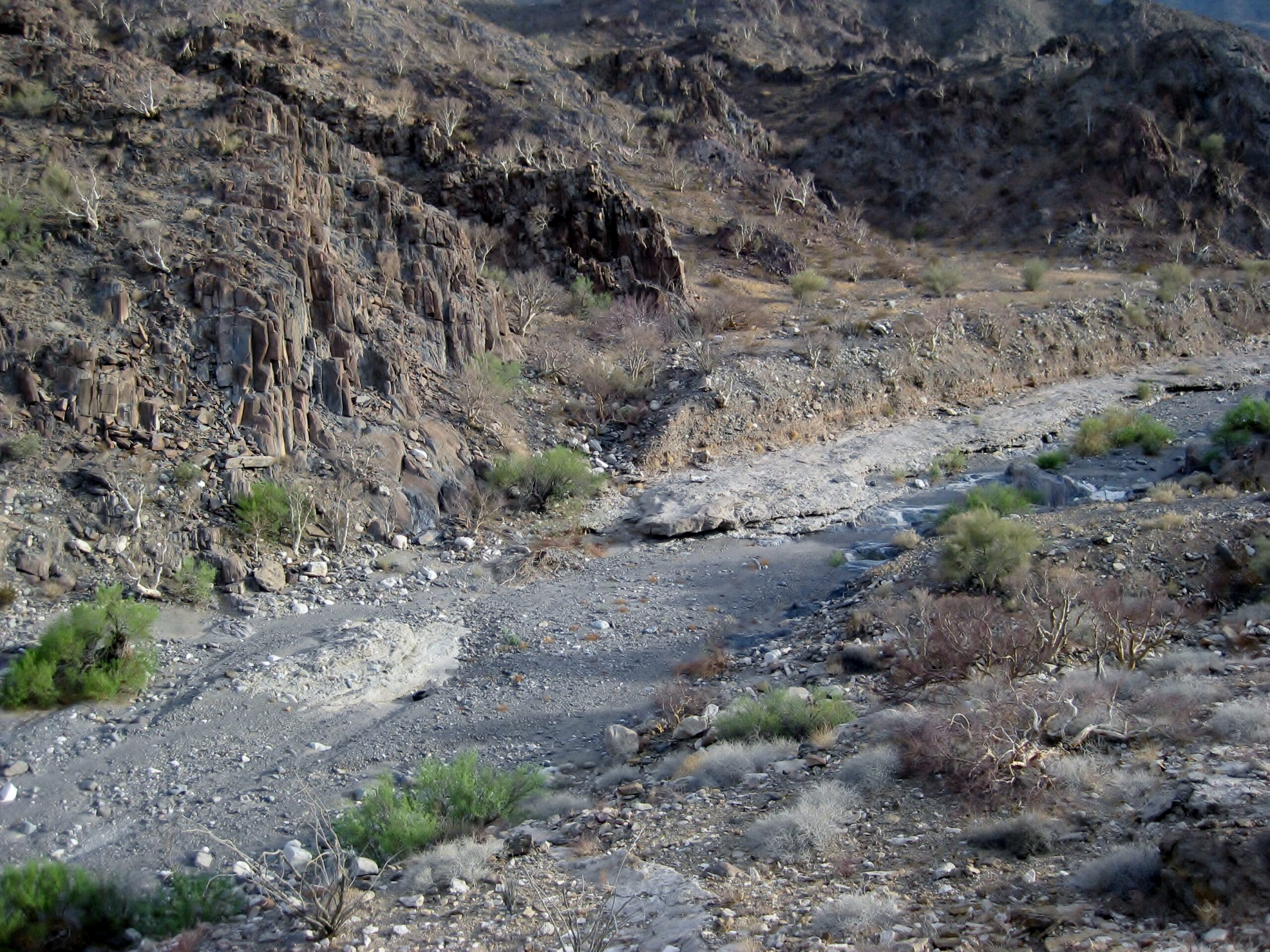
Photos down to the arroyo, from San Judas:


The dark spot next to the granite I thought might be the famous spring, Agua del Mezquitito? I was there in 1967, 1974, and 2001... it is actualy in a
smaller arroyo, just south of this one.
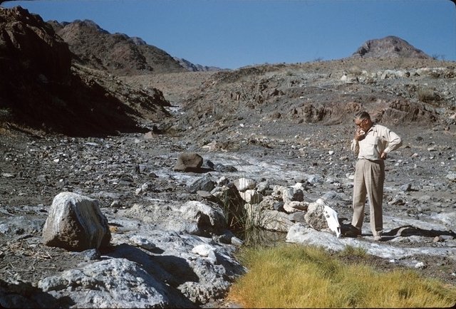
Here it was in 1958:
In 1974 (that's 16-year-old me):

A look down the arroyo to the gulf:
We continue north and find Aniceto's restaurant open (Km. 35.5)...
The weather was perfect on the beach, no wind, and not cold.
The final part will be coming soon!
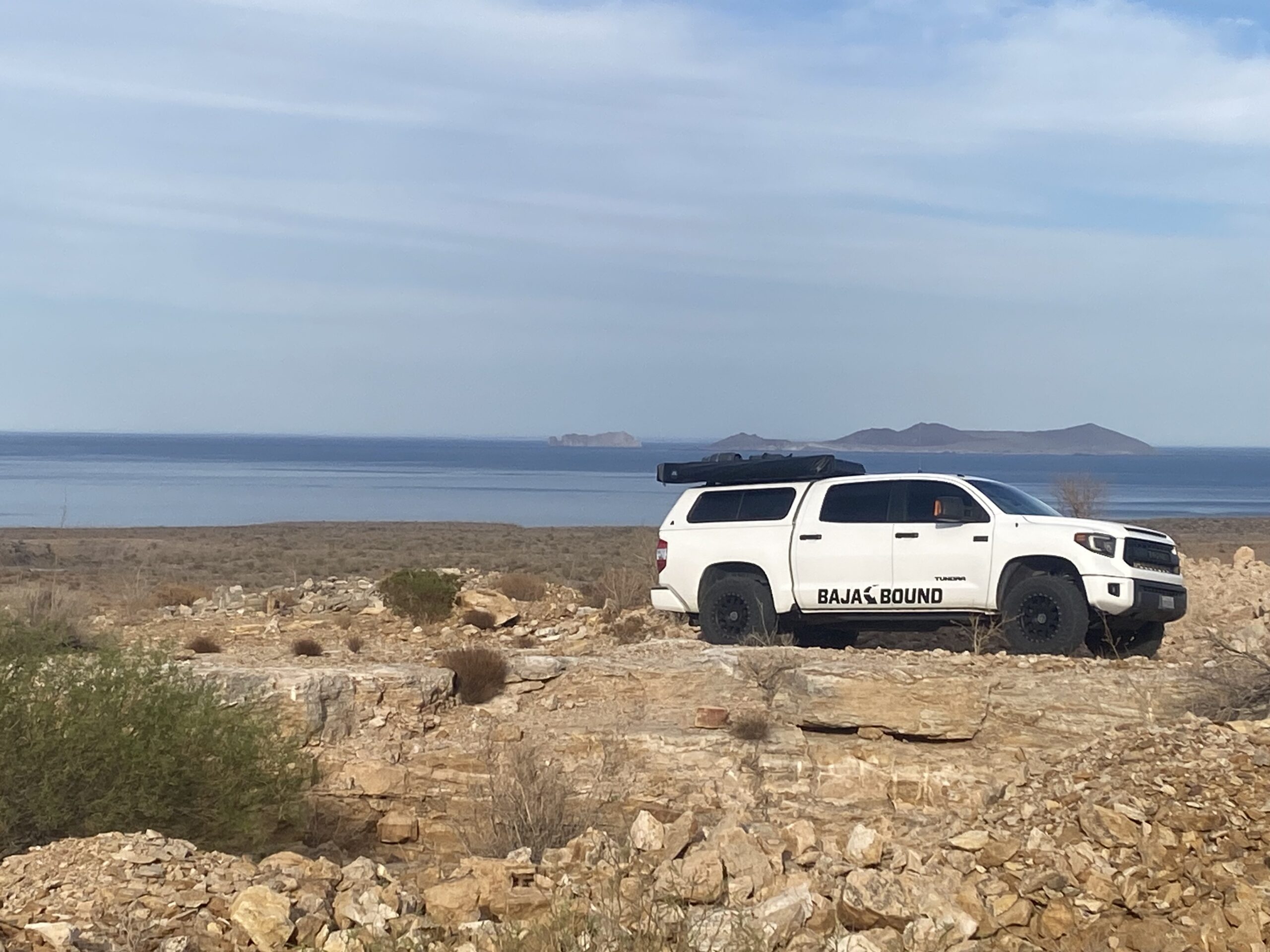
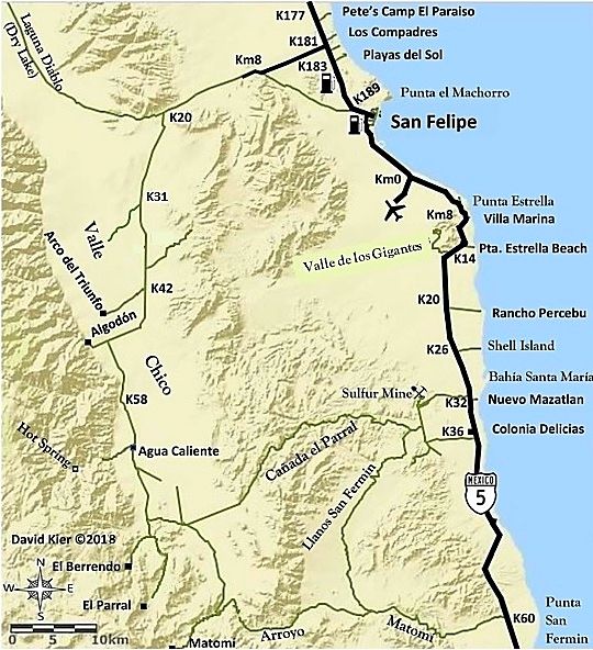
Maps, going north on Mex 5 from Km. 179:

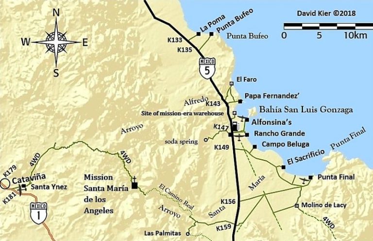
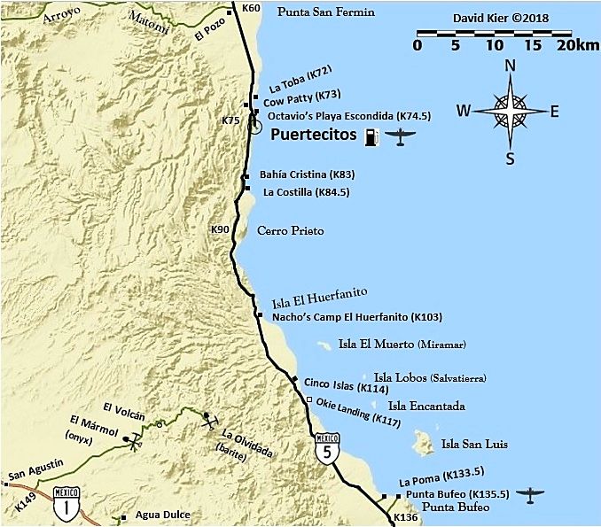
San Judas is 1.5 kms. south of Okie Landing
Dinner at Colonia Delicias. Dave's beach house is nearby.
This trip report concludes with Part 8: https://forums.bajanomad.com/viewthread.php?tid=101862
[Edited on 6-1-2025 by David K]
|
|
|
bajaric
Senior Nomad
Posts: 681
Registered: 2-2-2015
Member Is Offline
|
|
Nice to see a detailed trip report on here! I have been to the Onyx mine at San Judas and spent a fair amount of time in the general area. The water
along that stretch of coastline sometimes has an electric blue color that is really intense, your pictures capture a little of it. Miss that view,
have not been down there for years, but I don't miss the bugs and the wind.
|
|
|
David K
Honored Nomad
Posts: 65563
Registered: 8-30-2002
Location: San Diego County
Member Is Offline
Mood: Have Baja Fever
|
|
No bugs bothered us, but I do remember your talking about them at Arroyo Miramar or the coast by Cinco Islas, yes? Just move a little and find peace
with Nature (who likes bugs, anyway?).
|
|
|
|


