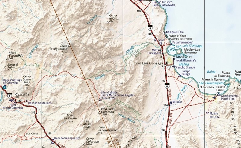
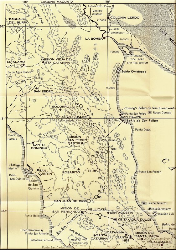
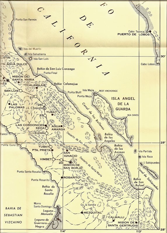
Very cool. Learned a new Spanish word browsing the link, "leguas" leagues in English, the distance a man could walk in an hour. Of course that
varies as in was I a 30 year old man or a 71 one year old man. Guess you could say I've switched leagues so to speak, as many of us here have
switched leagues I'm guessing, haha.
Thanks for posting this Lance.
[Edited on 6-27-2025 by Don Jorge] |