Originally posted by Barry A.
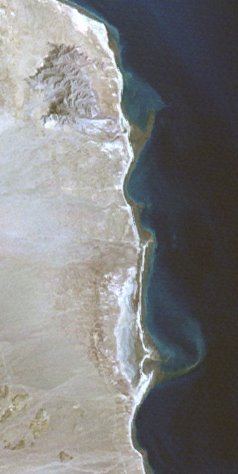
-------and after seeing that long sandbar in David's aerial photo, I can say without reservation that what I am looking at is a "barrier
island"------that is the technical geographical term. It does not have to be totally surrounded by water to be classified as a "barrier island".
Many of the "barrier islands" along the SE USA coast are very similar to this Baja island.
When responding to the posts on the "todays posts" forum, it is impossible to tell what specialty forums they came from, or so it seems to me.
I welcome ANY posts that have to do with increasing our understanding of Baja, or the folks that visit it, or live there------I believe that David's
post always meet this criteria--------I have never been annoyed by any of David's posts. |


 ....(sorry DK, just too funny to resist!) are still very much available, just shipped one out yesterday.


