Originally posted by Fatboy
Link Fixed...
But what David posted is what I was referring to...so. no go, huh?
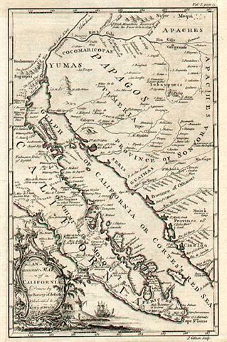
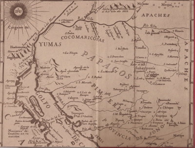
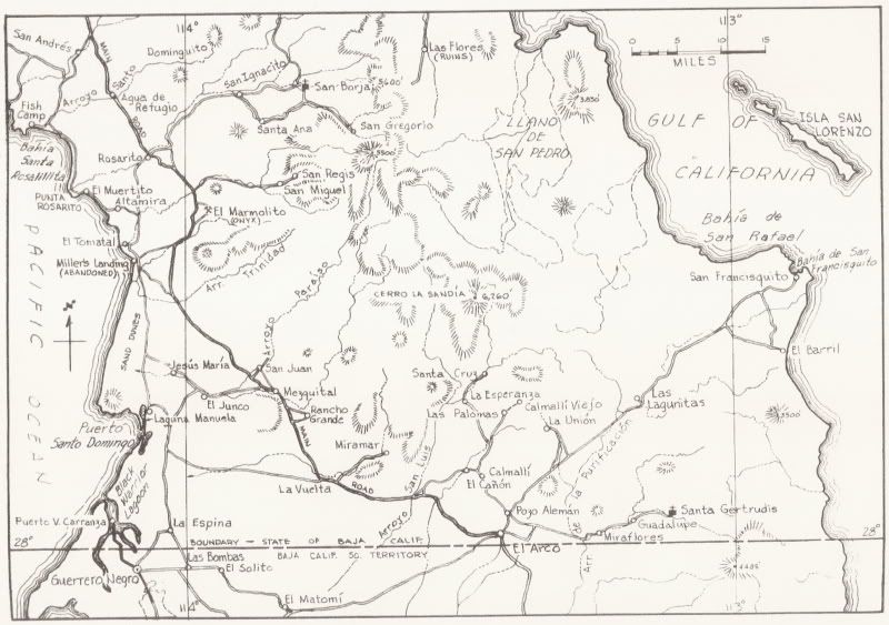
I wonder which part of the old map would be most accurate?
If you knew you could use that for your reference point, I wonder if the maps were made for show or to actually get someone somewhere?
|