Fatboy
Senior Nomad
  
Posts: 805
Registered: 6-28-2005
Member Is Offline
|
|
Lost Mission Hunt V?
So, David K, any luck in the preceding 4+ years since your last 'search'?
A lot of country to cover...
Here is a link to the post...
Lost Mission Hunt V Post
[Edited on 9-27-2008 by Fatboy]
|
|
|
David K
Honored Nomad
        
Posts: 65412
Registered: 8-30-2002
Location: San Diego County
Member Is Offline
Mood: Have Baja Fever
|
|
No new searches since #5 when Georock's husband Pete, their son and I searched up Arroyo La Palma southwest of Bahia San Rafael.
I made a web page on the 'Lost Missions of Baja' and on the second page are links to my 5 attempts to find the site discovered and photographed by the
Erle Stanley Gardner party of 1966: http://vivabaja.com/1757
That site, between Bahia de los Angeles and Punta San Francisquito could have been the proposed mission of Santa Maria Magdalena, listed as 'started'
in the 1757 Jesuit map in that part of Baja!
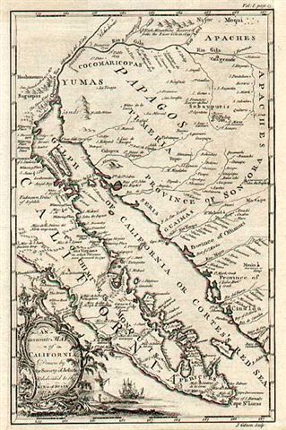

(note the mission labled SMM. DDN is Dolores del Norte, the original name for Santa Gertrudis, SI is San Ignacio...)
From Desert Magazine, July, 1966 of the site they discovered while building the road south of L.A. Bay:


[Edited on 9-27-2008 by David K]
|
|
|
woody with a view
PITA Nomad
      
Posts: 15940
Registered: 11-8-2004
Location: Looking at the Coronado Islands
Member Is Offline
Mood: Everchangin'
|
|
so is the problem the vast area or is the map too ambiguous or both?
|
|
|
David K
Honored Nomad
        
Posts: 65412
Registered: 8-30-2002
Location: San Diego County
Member Is Offline
Mood: Have Baja Fever
|
|
Both... it would be near the old road south of L.A. Bay that hugged the sierra then headed east from La Bocana canyon entrance.
I interviewed several of the Gardner party members who were on that trip, in person, or by phone: Choral Pepper, Bruce Barron, JW Black, Ricardo
Castillo... Jesus Flores guided us on our first search and he made friends with Gardner in the 60's... offered to sell him a map to a secret Spanish
mine! None could give any exact detail... it was wild open country back then... and remains so today.
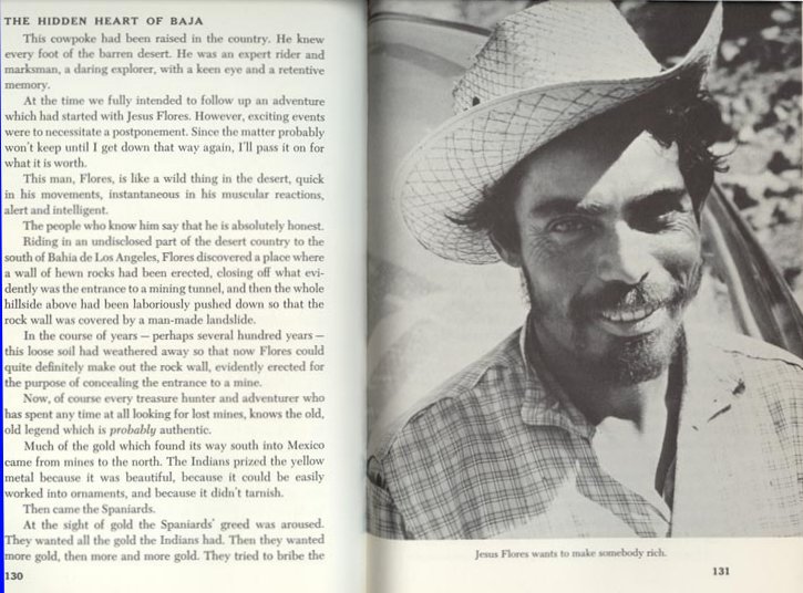
I got Jesus's autograph in 2002 while he was riding by Gecko on his burro!
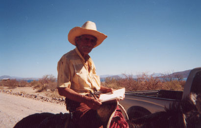

[Edited on 9-26-2008 by David K]
|
|
|
Fatboy
Senior Nomad
  
Posts: 805
Registered: 6-28-2005
Member Is Offline
|
|
Link Fixed...
But what David posted is what I was referring to...so. no go, huh?
I wonder which part of the old map would be most accurate?
If you knew you could use that for your reference point, I wonder if the maps were made for show or to actually get someone somewhere?
|
|
|
Paulina
Ultra Nomad
    
Posts: 3812
Registered: 8-31-2002
Location: BCN
Member Is Offline
|
|
I haven't seen Jesus Flores ride by in a year or so. I wonder if he's still around?
P.
\"Well behaved women rarely make history.\" Laurel Thatcher Ulrich
|
|
|
David K
Honored Nomad
        
Posts: 65412
Registered: 8-30-2002
Location: San Diego County
Member Is Offline
Mood: Have Baja Fever
|
|
| Quote: | Originally posted by Fatboy
Link Fixed...
But what David posted is what I was referring to...so. no go, huh?
I wonder which part of the old map would be most accurate?
If you knew you could use that for your reference point, I wonder if the maps were made for show or to actually get someone somewhere?
|
Sure, I want to go back and look some more! Maybe in April?
|
|
|
Ken Cooke
Elite Nomad
     
Posts: 8970
Registered: 2-9-2004
Location: Riverside, CA
Member Is Offline
Mood: Pole Line Road postponed due to injury
|
|
Great thread!
<subscribe>
|
|
|
David K
Honored Nomad
        
Posts: 65412
Registered: 8-30-2002
Location: San Diego County
Member Is Offline
Mood: Have Baja Fever
|
|
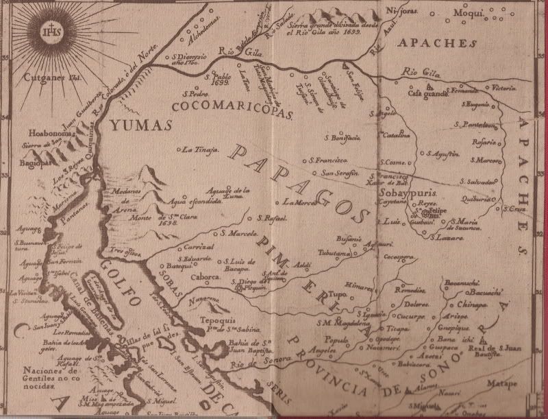
Here is a better close-up of the 1757 Jesuit map showing a "Mission S.M. Mag. started" south of Bahia de los Angeles:
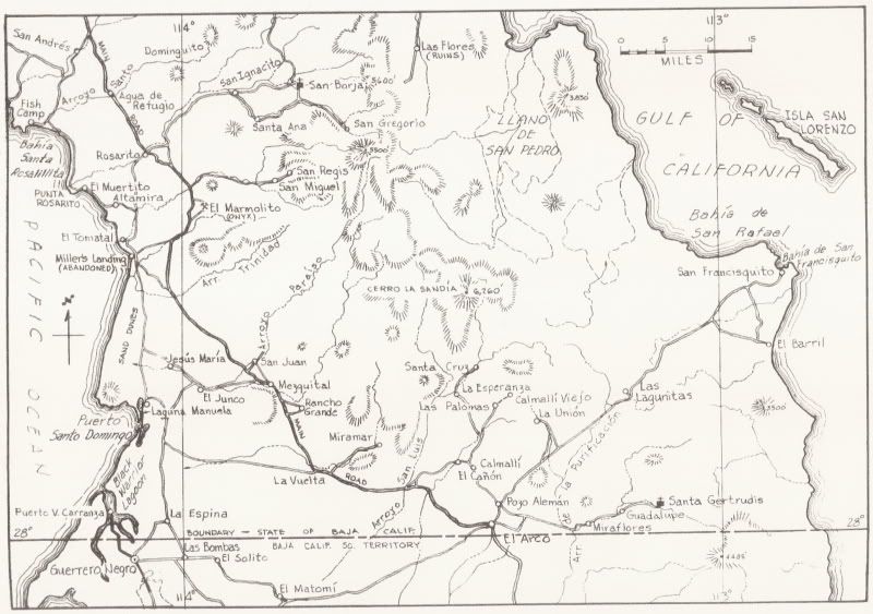
Here is a 1962 map of this part of Baja... and you see that beyond Las Flores and the short road below it to the San Juan mine tram/ railroad
terminal, there were no roads south to San Francisquito. That is until Erle Stanley Gardner's team made it through in early 1966 ('Off the Beaten
Track in Baja' c1967) when they stumbled upon the ruins that Choral Pepper later believed to be the attempted mission project shown on the old map....
|
|
|

