Originally posted by Steve in Oro Valley
Hi all:
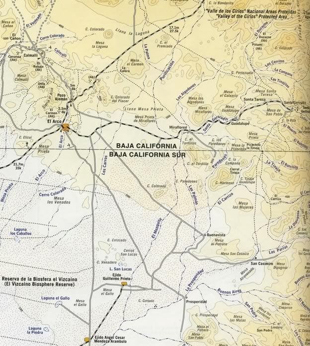
It appears from the maps in my possession that the water course that flows by the mesa is the San Pedro arroyo which comes out at Bahia Las Animas...
The San Pedro arroyo could have been flowing more reliably in times past...
As a possible comparison:
The Cerro Prieto trincheras site (NW of Tucson) was located near the once constantly flowing Santa Cruz River near the junction with the Brawley wash.
There were rock walls running in different directions along with reservoirs, crop fields, even a ball court.... The Santa Cruz has dried up during
the last century because of all the population growth (and climate change?)
Some of the walls were used for planters and as the bases of brush huts...
Some areas seem to have been used for astrological purposes and religious and cultural purposes.... Defensive purposes, too
Also there apparently was once an actual spring on the side of one the volcanic hills with a large rock channel leading down the slope...
By the way are there not some "paredas" down near Santa Gertrudis which are somewhat of mysterious origins?? I read about them in Patchen's BAJA
OUTPOST of a couple years ago.......
Steve in Oro Valley |


