Originally posted by David K
| Quote: | Originally posted by Ken Cooke
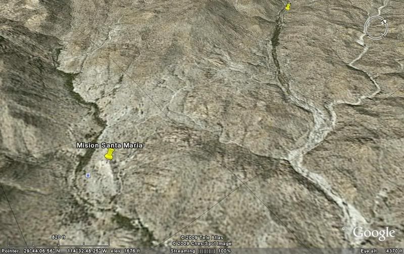
| Quote: | Originally posted by David KFrom the photos Ken posted of that Jeep on the rocks in the palms, it is possible they didn't see where the
bulldozed road turned left, out of the sand arroyo (1.3 miles from the mission) to climb towards the hill (and El Camino Real route) and past it to
the bulldozed grade... ended at the canyon rim where the petroglyphs are.
|
We saw it both the 3 times I've been down this road. I have never driven up the road, and those driving up it, didn't know where it led. I am sure
it is impassable. Plus, respecting Baja - I know (from knowledge) that it is better to drive out than hitchhike out. |
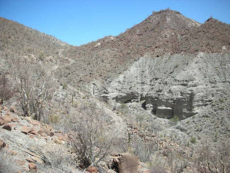
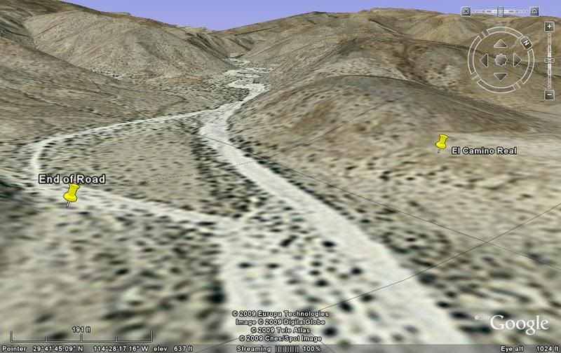
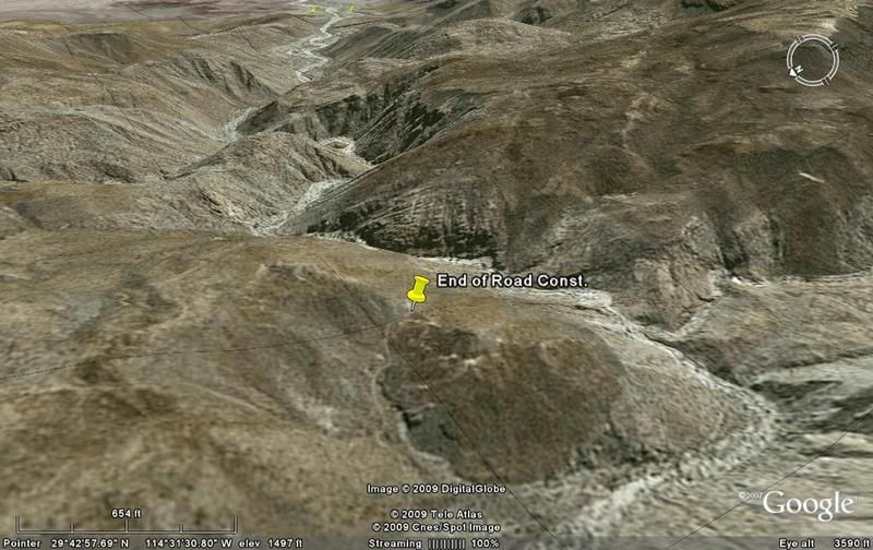
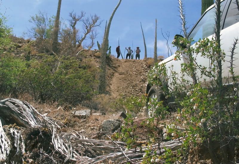
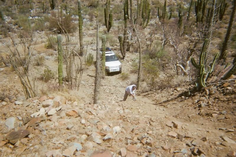
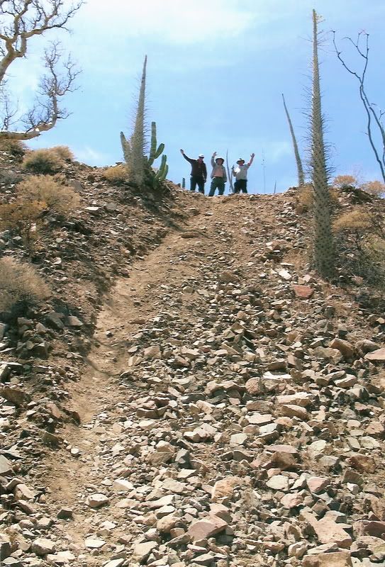
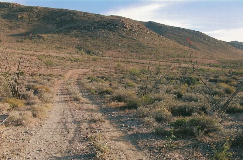
Ken, it climbs out of the sand, parallels the arroyo a bit, then turns towards the small side canyon, passes the point the Camino Real switchbacks up
the side of the mountain, then the erosion of the roadbed (leaving only big rocks) stopped our Toyotas... we continued on the bulldozed road bed about
1/4 mile more to the end... on the ridge overlooking the deep canyon to Gonzaga. Petroglyps are on some rocks... and the Indian trail drops down into
the canyon from there'
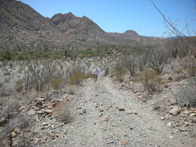
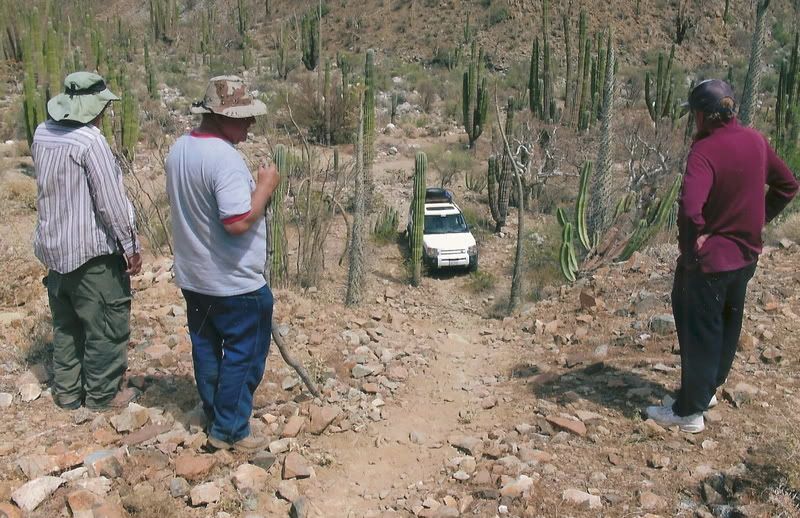
Steve or any rock crawler could drive to the end of the bulldozed grade... otherwise, the short uphill walk is worth it to see the petros, trail and
canyon view!
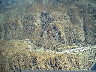
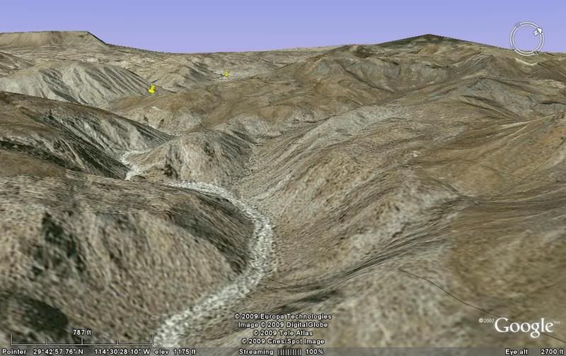
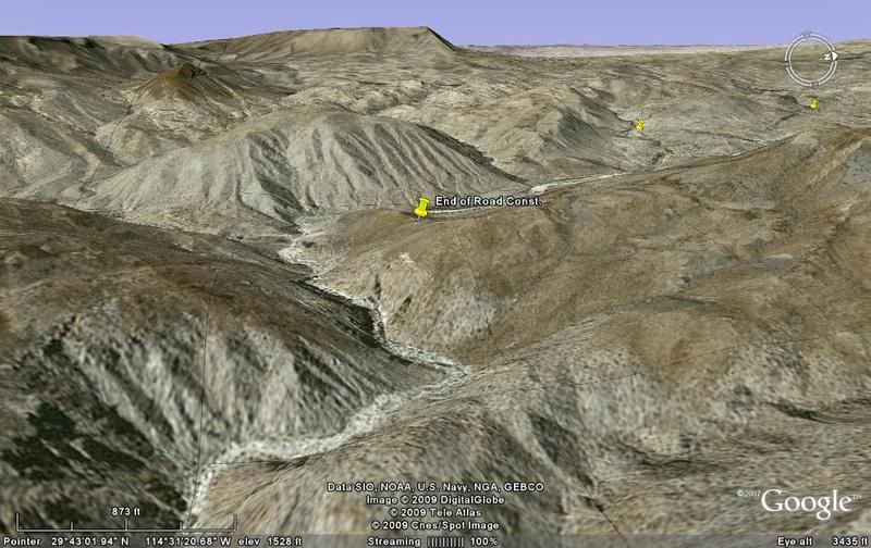
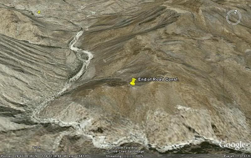
See my satellite image above with the yellow pin labeled 'End of Road Const.' for this point... You can see the bulldozed road climbing up from the
mission...
[Edited on 1-30-2009 by David K] |


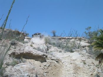


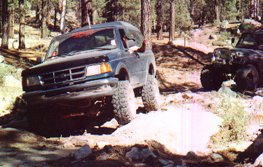
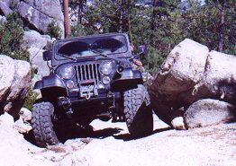


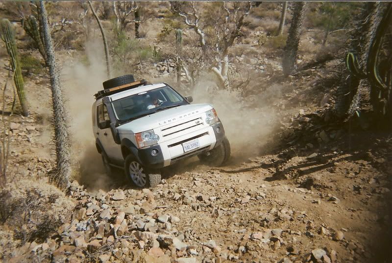
 No damage will be done to the land. Rocks may get slid around on top of
each other, but we will keep overall impact to an absolute minimum (Tread Lightly).
No damage will be done to the land. Rocks may get slid around on top of
each other, but we will keep overall impact to an absolute minimum (Tread Lightly).


 ebby]
ebby]