Originally posted by Baja12valve
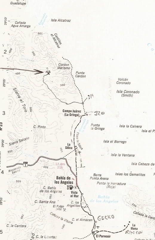
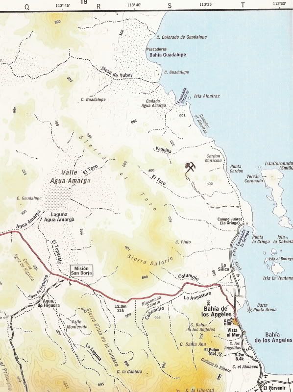
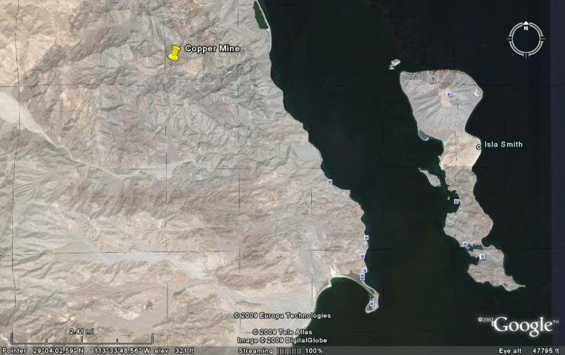
I only have one map to go by, so hopefully there are not too many differences from what is available to you. I do not have the El Toro copper mine on
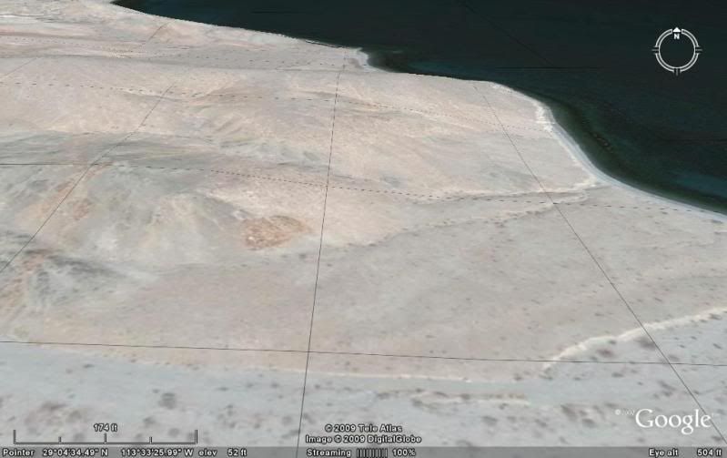
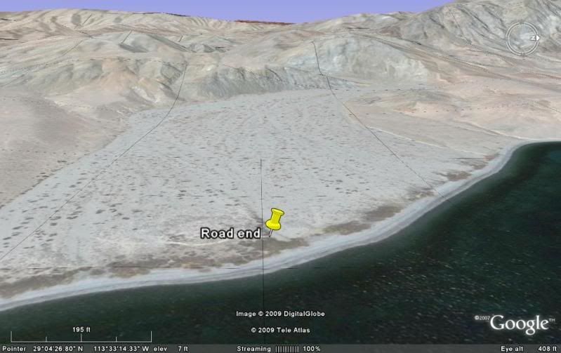
mine, but I do have the El Toro river. My map shows a road going due North from La Gringa, crossing the El Toro river in about 3-4 miles, continuing
up to Punta Cardon. In reality, the road ends at the river, or it sure seemed to. When I hit the river there is a large delta full of brush and
debris, about one mile across. I drove in the soft sand upriver until I found a thread of sand and was able to turn back to the ocean, reaching it
eventually. The ruin is on the North side of the river, up on a small hill overlooking the ocean and islands beyond. From the shape of it and what you
say about the mine, it may be related. It is way to long and narrow for a home or church, but could be storage of some kind. From your GPS, it locates
the El Toro mine about 8 miles North and about 5 miles West of La Gringa, but South and West of Isla Alcatraz. Correct? |