Originally posted by LisaR.
I have a few more (thanks for the tip on #1).
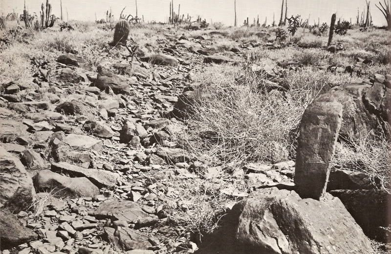
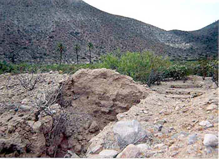
#1 is an El Camino Real marker south of Mission San Borja.
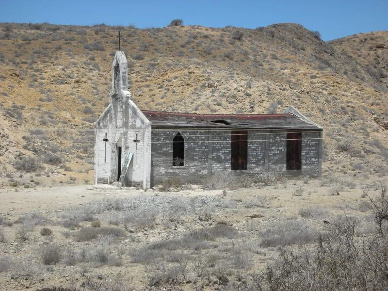
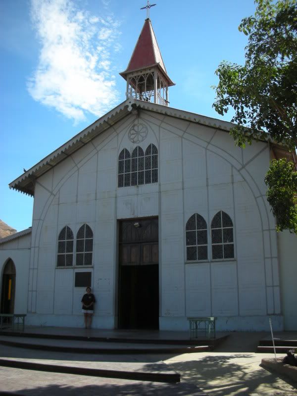
#6 is San Juan de Dios, a visiting station of Mission San Fernando.
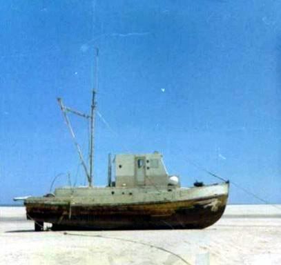
#10 is a shrimp boat blown by a hurricane behind Bahia Santa Maria.
That's all I can figure out for now, but I love a challenge, so I may keep trying! |