Originally posted by BajaWarrior
| Quote: | Originally posted by David K
| Quote: | Originally posted by BajaWarrior
#11
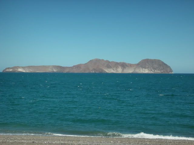
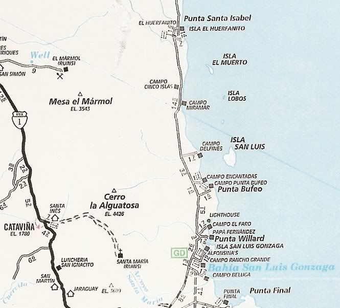
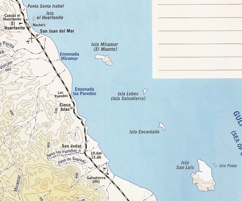
Miramar Island on the way to Gonzaga |
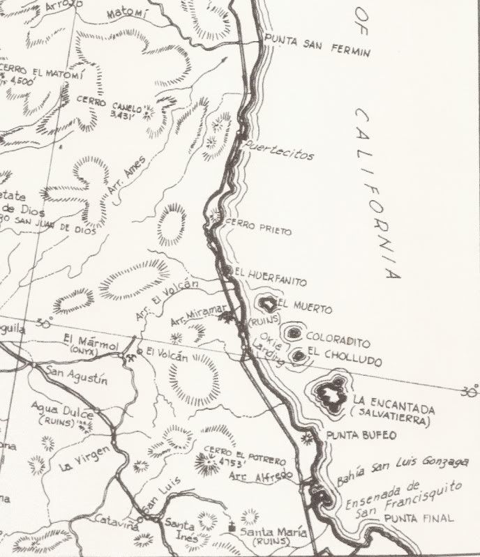
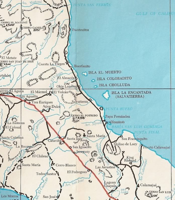
YES, it has another name... the hint was refering to the OTHER name for that island: EL MUERTO (the dead man).
Thanks Chuck! |
David, isn't the more northern Isla Encantada also known as El Muerto and not Isla Miramar? I saw that on google earth today as I was taking a trip to
Punta Final from our beach house. |