Originally posted by David K
| Quote: | Originally posted by Pacifico
Great report David! Looks interesting there....
I have a couple questions about Corridor 2000:
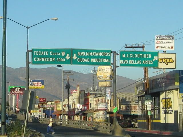
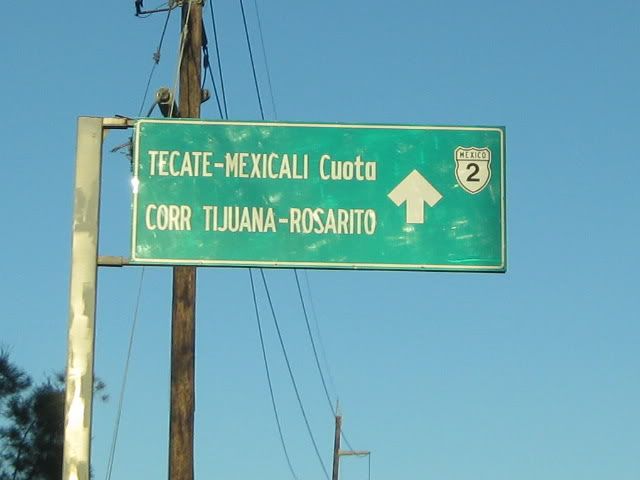
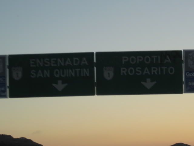
"The Corredor 2000 ends on the Free (Libre) Ensenada highway at Popotla, about 32 miles from the Otay Border. We went home via the Corredor 2000 and
the Tecate Free Highway (Mex. 2) to the Tecate Border (38 miles from Mex. 1 at Popotla)."
1. I take it you still have to travel the free road a little ways to get onto the toll road? Are the on-ramps under construction?
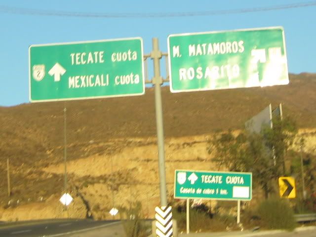
2. Going north, Can you take the Corridor 2000 to the Tecate Toll Road to get to Tecate or only to the Tecate Free Highway (Mex. 2)?
Thanks!!! |
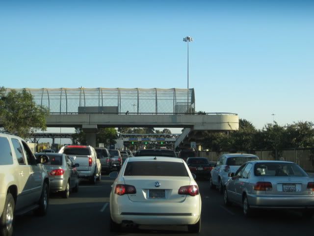
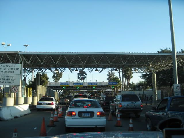
1. YES, about 8 miles to Cantamar is the first on ramp to the toll road... next one is at Splash (near the Half Way House) and the third is at La
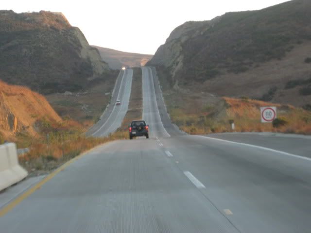
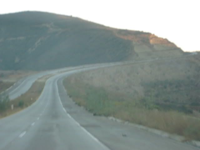
Fonda... The Free Road is now 4 lanes wide all the way to the Cantamar sand dunes. We took it to La Fonda (La Mision) and got on the toll road there
(because it was dark and we were rushing for El Rosario. However, the free road is nice all the way to Ensenada, and we use it northbound, all the way
to Popotla.
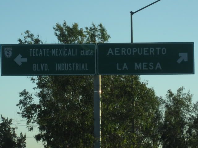
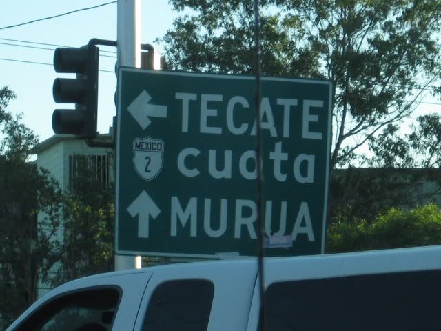
The on-ramps to the toll road from Corredor 2000 are still unfinished. There must be some issue with the politics of connecting the state highway BC
201 with the Federal toll road Mex. 1-D ???
2. YES, it is 7 miles LONGER to Tecate using the Tecate toll road and costs like 8 dollars! Use the free road, it is 4 lanes wide all the way to
Tecate and passes the Toyota Tacoma Plant!
[Edited on 9-22-2010 by David K] |