Originally posted by David K
| Quote: | Originally posted by Ken Cooke
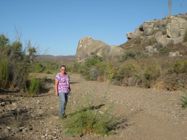
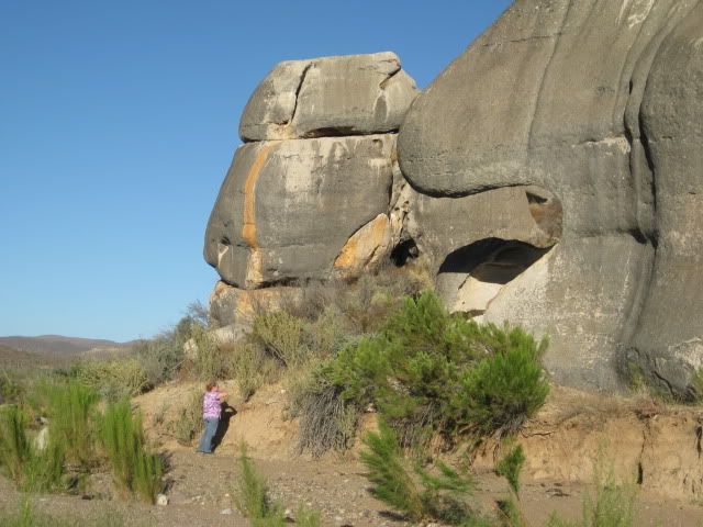
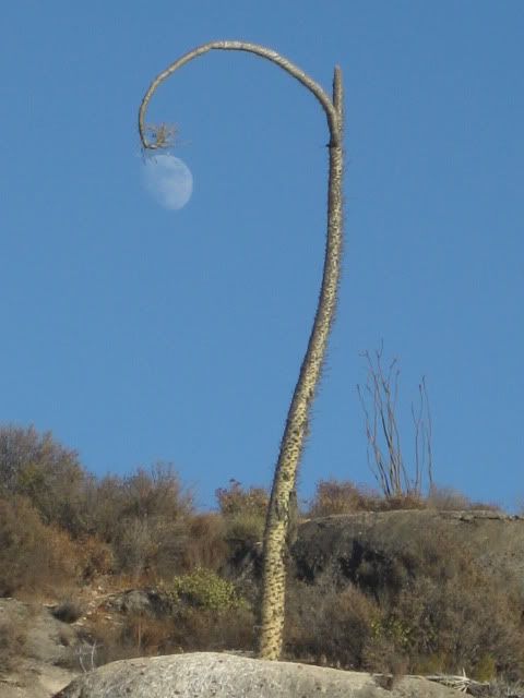
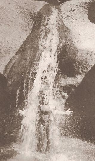
Especially the one of Chris standing in the "waterfall" 
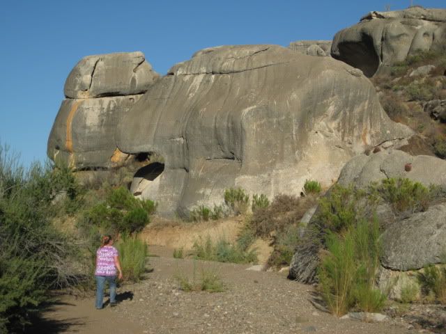
So, what is the drive time from El Rosario to these rock sites??? 
|
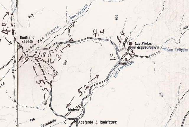
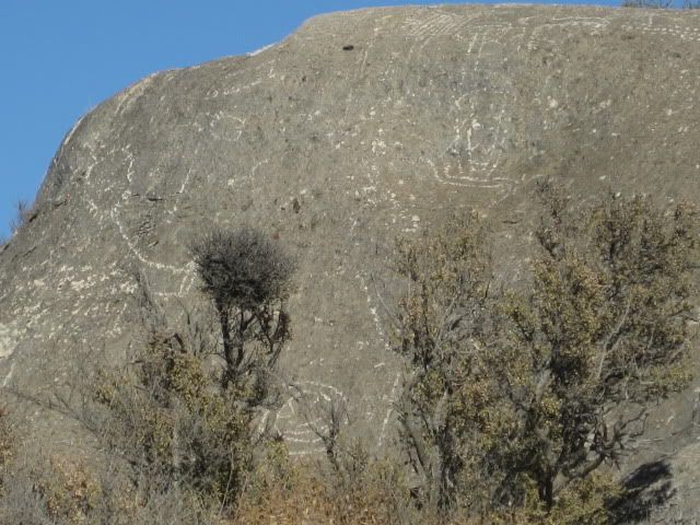
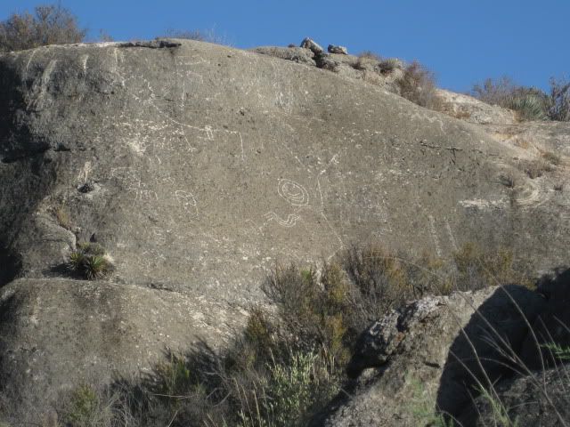
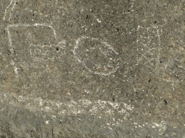
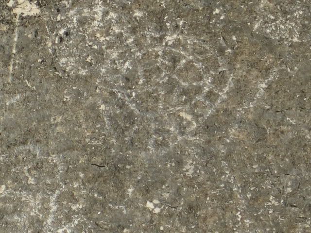
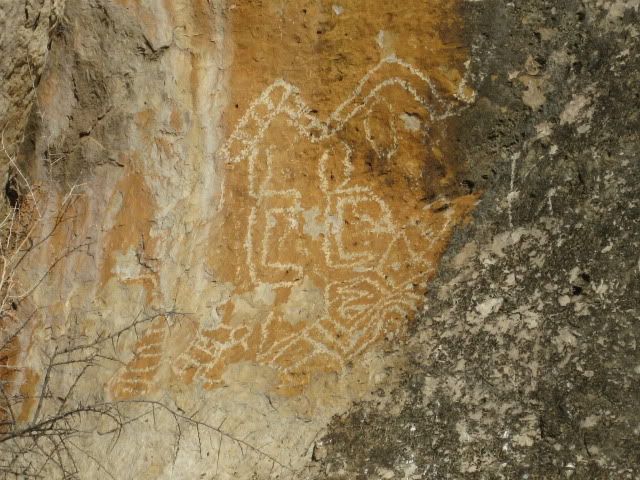
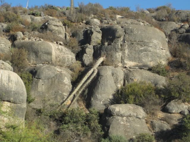
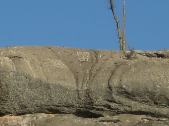
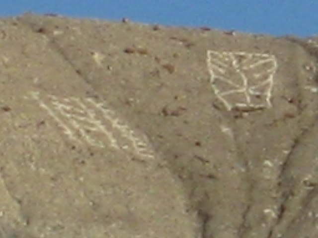
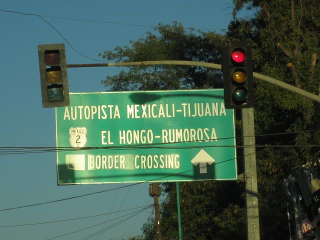
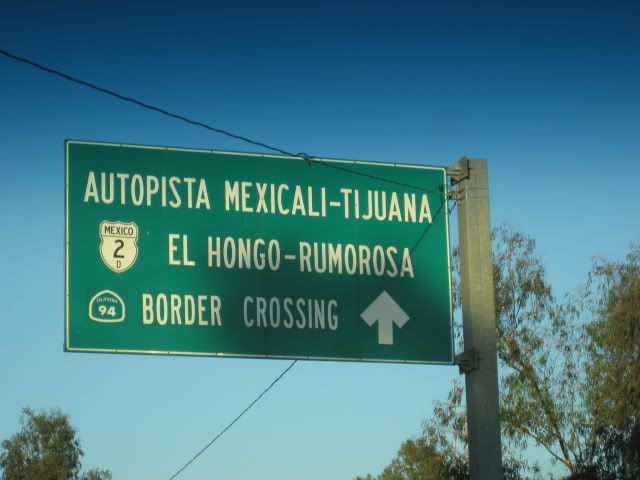
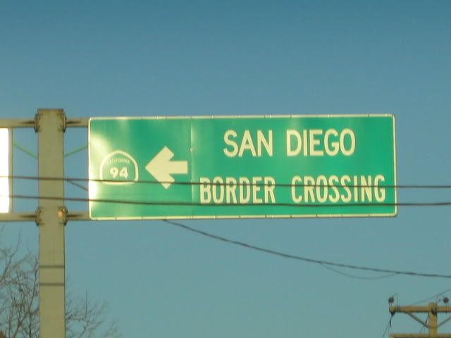
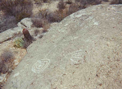
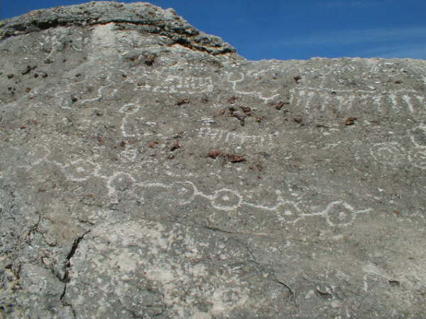
The following is on the last page of http://vivabaja.com/pintas |