Originally posted by desertcpl
DURANGO
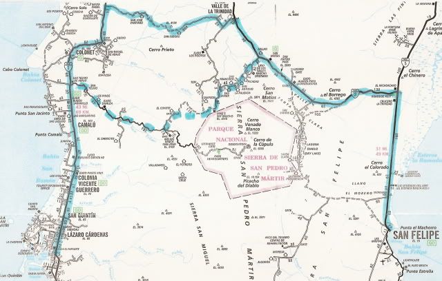
got a question,, on your first post you mentioned that you went from San Quintin for San Felipe , I can find that route on any of my maps? I have the
AAA map, baja almanac, and the National Geograhic map. what maps are you using |