My map shows this being a dirt road past San Felipe. I was wanting to take it south this year to meet up with hyw 1. can you get to Coco's corner in a
day from mexicali?CortezBlue - 11-29-2010 at 07:30 AM
There has been quite a bit of improvement of this road south of San Felipe to about 20 miles north of Bahia Gonzaga. But from what has been written,
it is dirt from there to Hwy 1. If you do a search on here you should be able to find some photos and information.
However with that being said, yes, you should have no problem getting from Mexicali to Hwy 1 in one day.burnrope - 11-29-2010 at 07:38 AM
Yes. The road is paved from San Felipe to about 15-16 miles short of Gonzaga. The the road can be rough until Gonzaga, but after Gonzaga it's a
graded dirt road to Coco's and beyond to Hwy 1. It's doable in a 2wd vehicle, ground clearance is your friend.David K - 11-29-2010 at 09:13 AM
Quote:
Originally posted by laketime
My map shows this being a dirt road past San Felipe. I was wanting to take it south this year to meet up with hyw 1. can you get to Coco's corner in a
day from mexicali?
Here is the road log with travel time from Puertecitos to Hwy. 1... driven in a Toyota Tacoma. The only change you may find is that the next 10 km. (6
miles) past El Huerfanito may be ready to travel on the new road... It was reported that asphalt has been applied, but the road was still closed last
week (Nov. 18).
San Felipe to Puertecitos is all paved, but a slow road due to steep, sudden dips (vados) that restrict high speed... 55 miles, 1.5 hours.
Here is the road log from Monday, July 19, 2010 (was posted on the Baja Road Conditions forum):
17.6 (20 min.) El Huerfanito (off to east of highway, no sign)
18.5 Detour off pavement onto older road, regraded for construction traffic. Piles of sand on road mark this point, no sign. Ahead on pavement is sign
for Campo Tano at Mile 19.0. At 19.3 is a sign 'End of Pavement, 200 mtrs.'). At 19.5 is the absolute end at an unfinished bridge. No sign of road
work on the opposite side of arroyo. Road work does continue beyond, out of sight from here.
Return back to Mile 18.5, detour onto dirt... log continues from this point.
25.1 (34 min. from Puertecitos, not including run to end of pavement) End of new road construction alongside old road. Old road new grading ends...
very rough, rocky road on to Gonzaga. Motorhomes and trailers should avoid!
26.0 'Okie Landing' to east (note cement pads along end of gravel beach marking the fish camp of the 1960's.
33.1 (1 hr. 14 min.) Campo Delfines
36.3 (1 hr. 26 min.) Las Encantadas
37.9 (1 hr. 31 min.) Punta Bufeo
43.1 (1 hr. 59 min.) El Faro
43.4 (2 hr. 1 min.) Papa Fernandez' Bahia San Luis Gonzaga
Military Checkpont is just a mile + ahead.
46.1 (2 hr. 12 min.) Alfonsina's Pemex (closed from 2-4 pm), Rancho Grande Market just ahead on right.
Clear odometer for next section... The main road south from Gonzaga is much better than the road north, but the rough surface still limits maximum
speed to ~30 mph (twice that of the north section) in a Tacoma, loaded.
0.0 Rancho Grande 'Gonzaga Bay'
1.3 (8 min.) Road to Campo Beluga and Sacraficio
7.5 (22 min.) Road west to Arroyo Santa Maria and Las Palmitas oasis on the old mission trail 'El CaminoReal'
10.0 (28 min.) Road in from left is the south access route to Punta Final
16.7 La Turquesa Canyon road to west (green pools of water, turquoise mine, and very difficult off road and abandoned mine road shortcut to Hwy. 1
near El Pedregoso)
19.2 (52 min.) Las Arrastras site access road. Gold ore grinding mills, well, nearby waterhole of San Francisquito on the Camino Real.
23.0 (1 hr.) Coco's Corner (cold Pacifico for sale $2) Coco in Ensenada, helper Ramón on hand.
36.1 (1 hr. 30 min. driving time) HWY. 1, Laguna Chapala. Gasoline and tire repairs advertised, 1 km. south.Sweetwater - 11-29-2010 at 11:07 AM
Good info by David K.
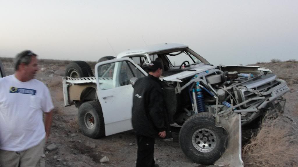
We were on that road two weeks ago for the Baja 1000 pre-run....
A trophy truck flipped at the junction where the dirt road begins and the road was very rough to Gonzaga Bay. This was complicated by driving it at
night....no choice when racing. The road seemed much smoother in daylight from Gonzaga to Coco's Corner although I rode the race course and the wash
from there to the highway.
Be prepared to slow down and as mentioned, ground clearance is a good thing.........even trophy trucks can be fooled by conditions..........
Bajahowodd - 11-29-2010 at 04:50 PM
So, here's a dumb question. If you can get from Mexicali to Mex 1 in a day by driving that route, then what? It's late in the day, and you are....
where? Among great hotels, campgrounds, restaurants?
Just asking.David K - 11-29-2010 at 04:58 PM
Well... depend on you destination... if going on south, the closest motels are at Bahia de los Angeles, about 70 miles from Laguna Chapala or Guerrero
Negro at 114 miles.
If heading north, Cataviña is only 30 miles away and El Rosario is 116 miles.Bajahowodd - 11-29-2010 at 05:12 PM
Thanks. I know the map. Just didn't think that once Laketime hit Mex 1, he'd be headed north. Just an assumption. Thinking that this time of year, the
prospect of a two hour drive starting at sunset may be fraught with danger.David K - 11-29-2010 at 05:16 PM
Oh, agree with you... He should stay at Alfonsina's for the night (Gonzaga Bay) or bring camping gear!mcfez - 11-29-2010 at 07:11 PM
Quote:
Originally posted by David K
Oh, agree with you... He should stay at Alfonsina's for the night (Gonzaga Bay) or bring camping gear!
Absolutely stay at Gonzaga Bay. Yes...Bahia de los Angeles, is about 70 miles from the H1 intersection...but it takes a a good hour and an half to two
hours. Plus to say....night falls very early now.laketime - 11-30-2010 at 07:21 AM
Quote:
Originally posted by Bajahowodd
So, here's a dumb question. If you can get from Mexicali to Mex 1 in a day by driving that route, then what? It's late in the day, and you are....
where? Among great hotels, campgrounds, restaurants?
Just asking.
Thanks for all the info and insight eveyone. We do carry camping gear but like staying in motel if there is one to be found. Will be looking at
Alfonsina for sure.
Maybe this would be a better drive on the way home north?Santiago - 11-30-2010 at 08:09 AM
Quote:
Originally posted by laketime
Maybe this would be a better drive on the way home north?
This is how I do it - then you can stay in SF for the night. Make the turnoff at Hiway 1 no later than noon and you should be in SF by dark this time
of year. Earlier than noon if you want to stop at places and poke around.TMW - 11-30-2010 at 09:04 AM
If Coco is back when you take your trip you should plan to stop and chat with him over a beer or coke and sign his guest book.David K - 11-30-2010 at 09:58 AM
Do, for sure, drive in to Alfonsina's (2 miles)... turn in at the Pemex station, and follow the road along all the homes on the beach... the bar/
restaurant/ motel is at the end of the road/ runway.
Picture swiped from some guy at tacomaworld
mcfez - 11-30-2010 at 11:24 AM
Alfonsina's Motel on the beach
laketime - 11-30-2010 at 11:48 AM
Quote:
Originally posted by TW
If Coco is back when you take your trip you should plan to stop and chat with him over a beer or coke and sign his guest book.
I just read some about Coco, I do hope he is back by the time we go. We are defiantly going to stop.mcfez - 11-30-2010 at 12:56 PM
Make sure that you are wearing underwear.....
Whenever we get there...he has cokes for sale. Buy a few. The big Boss and I always pay with a ten or twenty and tell him to keep the change.