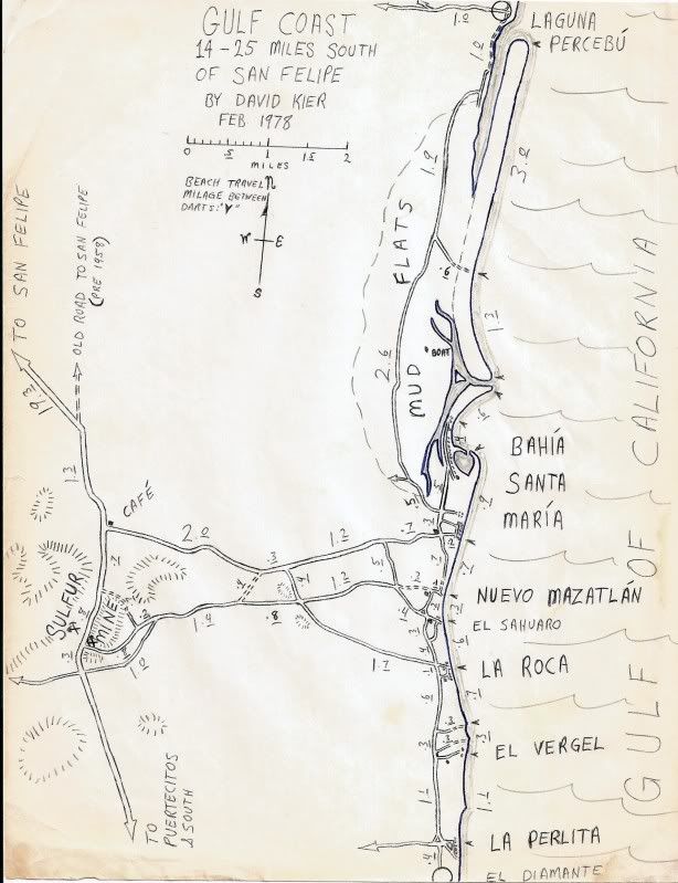
Originally posted by David K
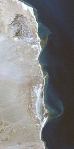
It is connected to dry land in the center, not the end, during minimal tides (quarter moon phase)... If it were only connected on one far end, then I
would agree with you... There is a lagoon (or estero) entrance on the north (Percebu) end AND on the south (Santa Maria) end of the island.
During extreme tides it is totally surrounded by water, which covers the salt/ mud flats that seperate the beach/ barrier dune island from the
mainland of Baja when and where the sea water doesn't.
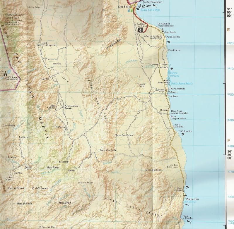
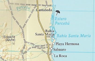
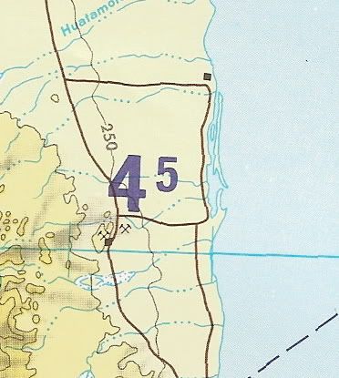
Look again at the maps I posted above to clearly see the inlets or island shape.
[Edited on 2-16-2011 by David K] |