Originally posted by David K
| Quote: | Originally posted by Bob H
| Quote: | Originally posted by David K
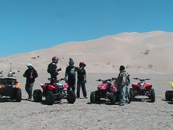
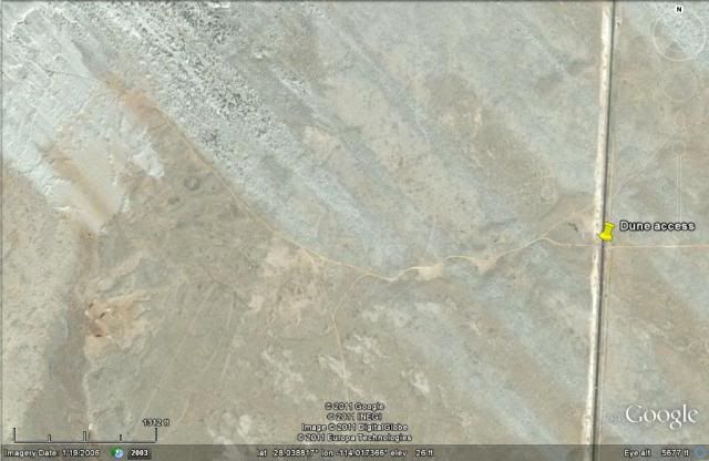
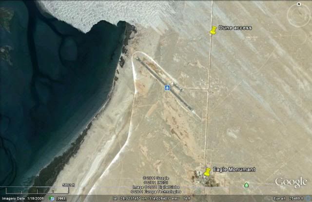
Just north of the Guerrero Negro airport are the Sarafan Sand Dunes... beautiful! I went in there in 1985...
Read about it in Jim Hunter's 1977 guidebook 'Offbeat Baja'. Here is the start of his directions: Go 2.4 miles north of the Eagle Monumant and take
the road west... |
I googled Sarafan and the only thing I could find was this...
http://en.wikipedia.org/wiki/Sarafan |
I didn't name them... it is what Jim Hunter called them... and what made me go check them out in July, 1985. I found them with Jim Hunter's
directions, even though Ralph says they are wrong... Maybe after nearly 30 years, another road is a shorter way in? |


 [/img]
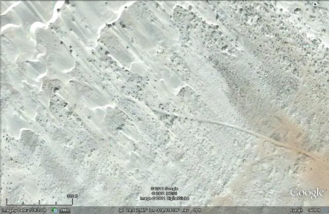