Originally posted by Neal Johns
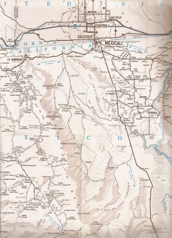
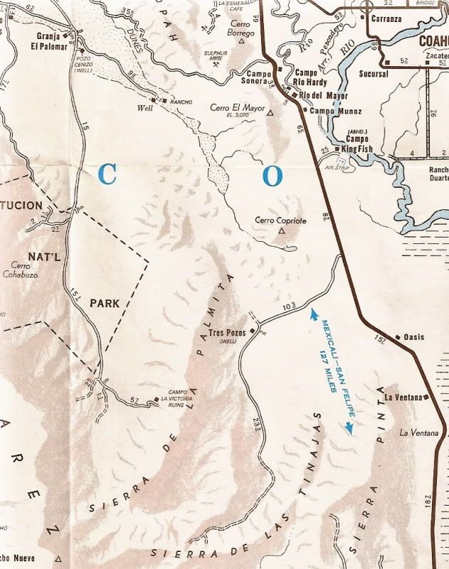
Well. DK, John is right. The last time I was there I could not find the road going east across the arroyos and that was a few years ago. GE shows the
start east so I am counting on you guys to find CLV again.
Your WP is about the right distance (maybe a little too far south) and it looks like a road so....?
PS You are right about John M, he is not a nice man.  
Neal |