Originally posted by motoged
| Quote: | Originally posted by Fernweh
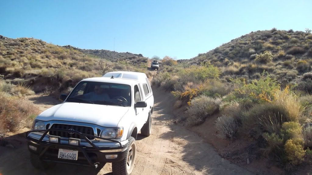
It is a fairly steep ascent, tight turns and a bit washed out here and there.
Drove it last in November and we had no problems, rather love those uncommon roads.....
Two years ago we took that road down into Aqua Verde towing an Adventure trailer, at night. Again no problems then.... |
Fern,
Just to make sure we are talking about the same thing here: I am familiar with the gravel road into AV from the main highway just south of
Loreto....no problem there.
I was asking about the road south out of AV that ends up twisting it's way on dirt to Ciudad Constitucion/Insurgentes...
Is that the one you referred to as "fairly steep ascent, tight turns and a bit washed out here and there."
Gracias |