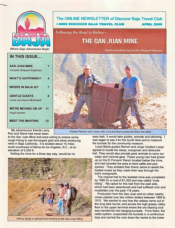
Originally posted by David K
Barry, here is my trip report from Nov. 2002 on that ranch road:
Baja Weekend Part 3:
Sal Si Puedes, NOT!
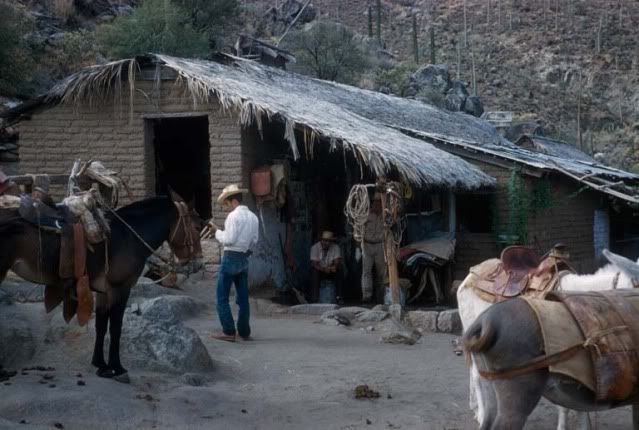
While at Beach Bob's, we discussed exploring Baja. He told me of a neighbor and friend who wanted to go into Sal Si Puedes canyon, north of L.A. Bay.
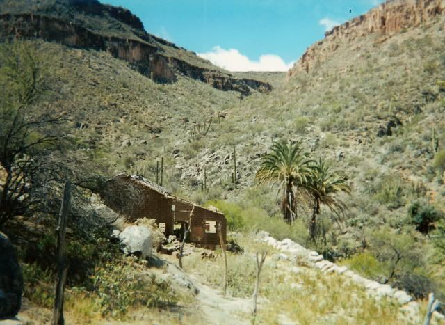
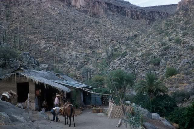
This was the palm-lined canyon made famous in Erle Stanley Gardner's 1961 'Hovering Over Baja'. Sal Si Puedes translates to 'Get Out If You Can'! To
Erle and others it meant Get 'IN', if you can! Earlier this year I emailed with a Baja explorer who did get to Sal Si Puedes from Highway One. I told
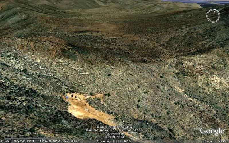
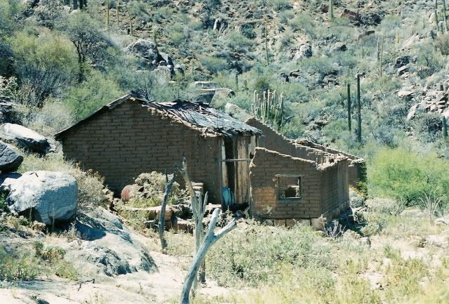
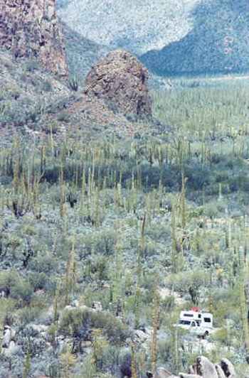
Beach Bob to tell his friend. I even had the GPS data for the ranch on the mountain above the canyon and the canyon's headwater. I decided to visit
the ranch and see the top of Sal Si Puedes.
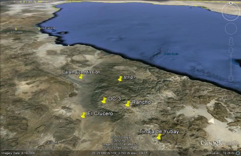
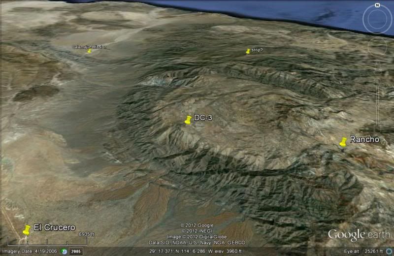
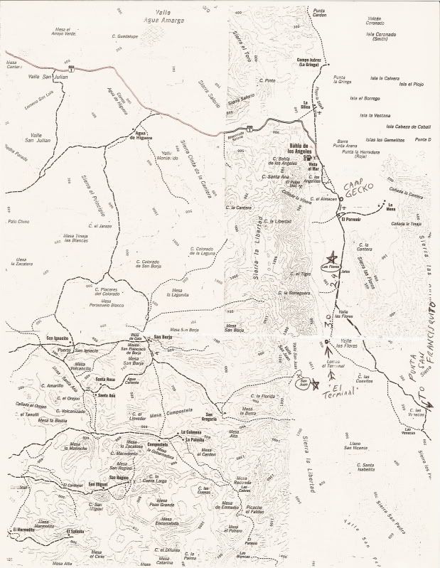
About 8 miles north of the L.A. Bay highway junction with Highway One, the old L.A. Bay road crosses the highway, going to the southeast. At this same
point, a newer road was graded and reached Highway One going off to the northeast (GPS NAD27 N29º09.59' W114º08.63').
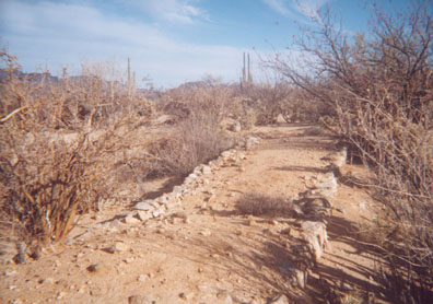
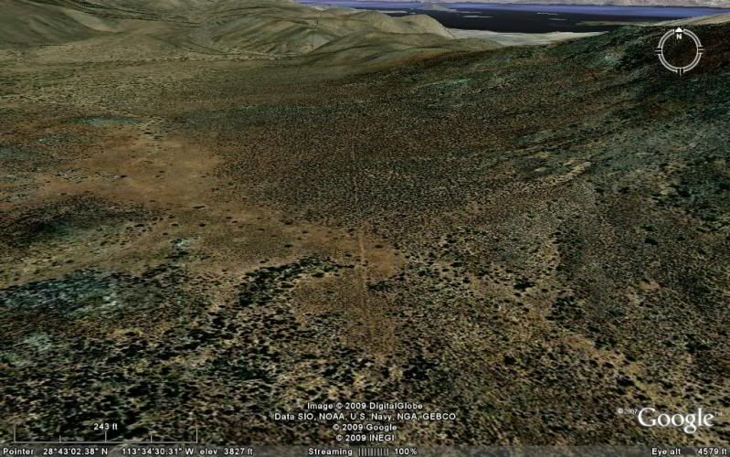
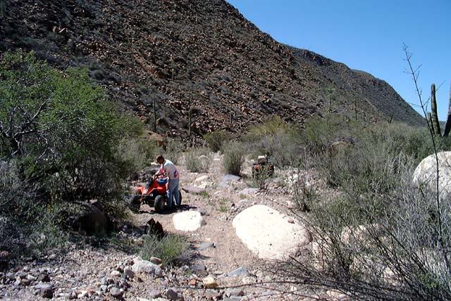
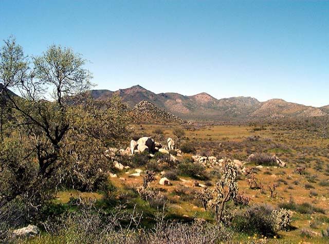
It was a smooth, easy climb up the long slope. The Baja 1000 parallel road is crossed 1.3 mi. from Hwy.1. A corral and new well is passed 3.2 mi.
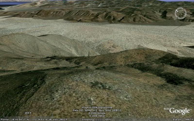
beyond that crossing. The road gets a little bumpy as it winds through some boulders at the foot of the mountain. Then, around another bend, my heart
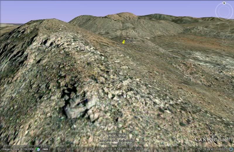
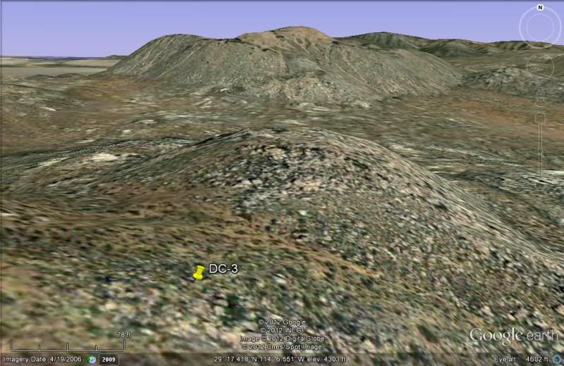
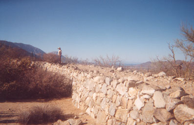
sunk... a locked gate! I was 7.1 miles from Highway One and 2/3 the way to the ranch and Sal Si Puedes. BUMMER!!! I climbed the boulder-covered hill
to scan the area. I could see the mountain next to Tinaja de Yubay, about 6 miles to the south-east and the road (I wanted to drive) climb further up
the mountain. The gate is at 29º12.75'/ 114º03.19', elev. 2,600' (that's a 1,100' climb from Highway One). I drove back a couple miles and stopped to
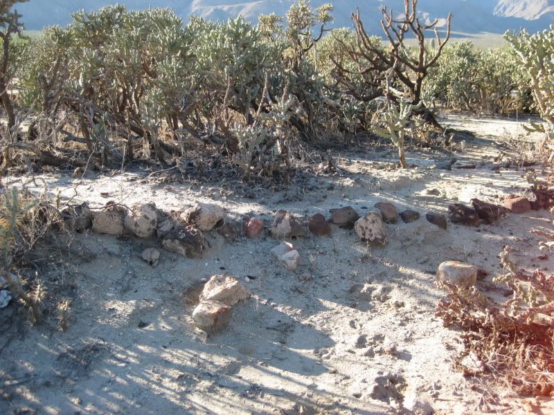
hike around a bit and found lots of quartz.
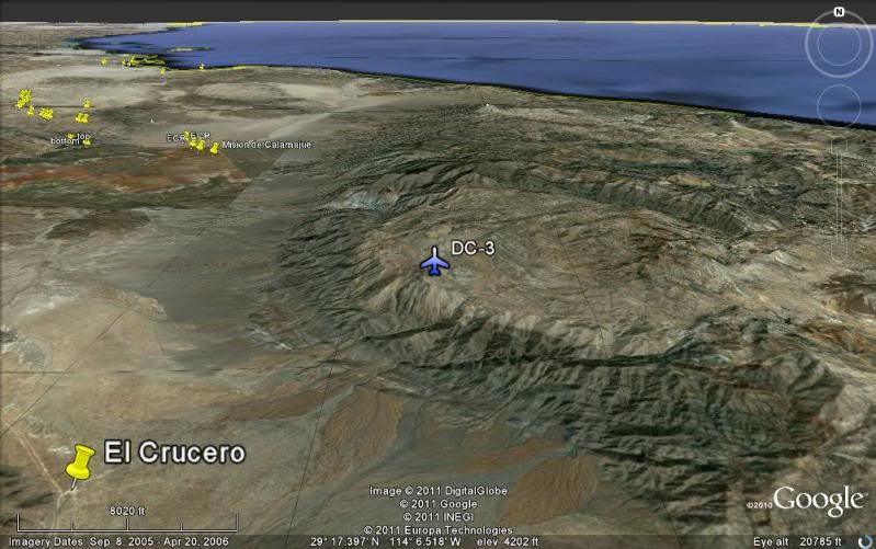
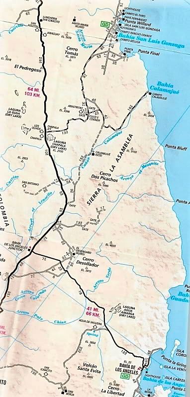
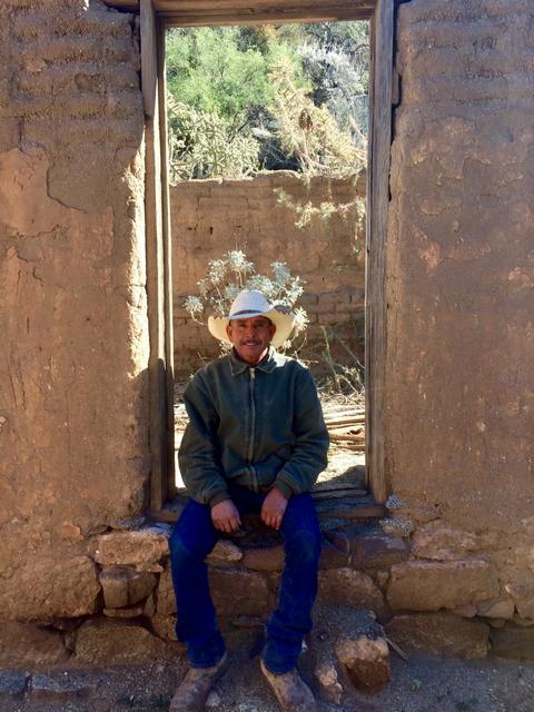
I got back to Highway One and turned north. At El Crucero (29º14.30'/ 114º09.28'), the race pit vehicles were gone, but a rancher's truck was there...
driving through a new gate. If this is ever locked, the old road from San Felipe, Gonzaga, and Calamajue Canyon would be closed at its southern end! I
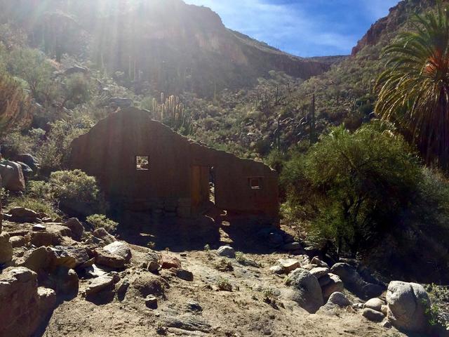
spoke with the man, and he said his new ranch house was nearby and his ranch was also called El Crucero. I showed him a photo of the original El
Crucero taken in the late 1960's. I expressed my concern for all the new fences along Highway One and gates over roads. He said his gate would not be
locked. But, if it was, one could get to Calamajue by going 6.5 miles north to the water truck access road built for Highway One's construction at
29º17.52'/ 114º14.30'. I mentioned my attempt at reaching Sal Si Puedes was cut short by such a gate. The ranch at the end of that road is called San
Luis, he said. Baja was once known as the land with 'hardly any fences'... That too, is changing. |