Originally posted by Riom
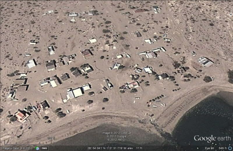
Bing Maps had a big update today. In San Felipe at least some of the images are now updated to mid/late 2011 (there's some construction shown from
that time, but not all of it).
There do seem to be two series of images though, which mismatch in places: see Pete's Camp in San Felipe:
http://binged.it/Q7rCgF
It's not clear which set of images is newer, I'm guessing the lighter crisper ones showing the beach. The resolution seems to be the same.
Rob
[Edited on 2012-6-26 by Riom] |