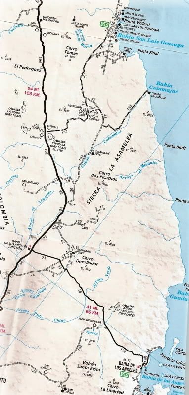
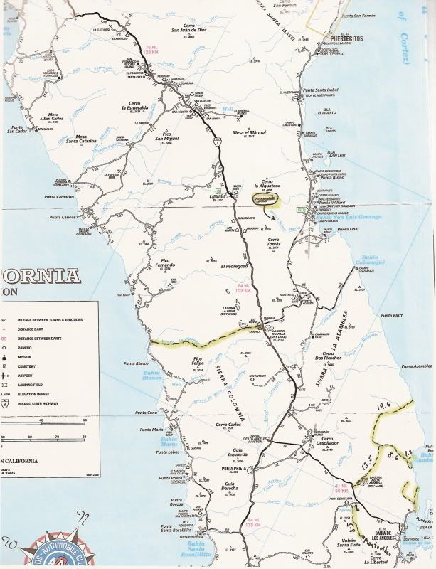
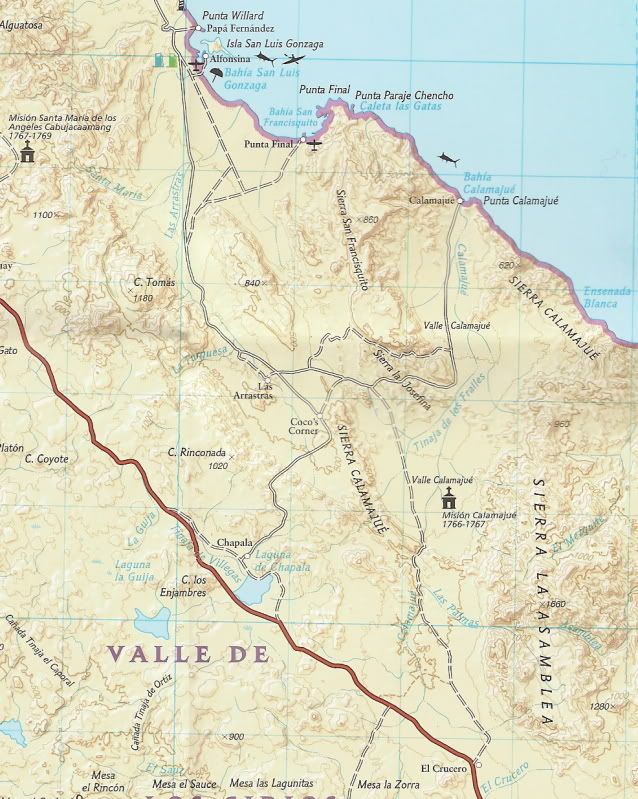
This is the way we've gone for years on dirt bikes. Sometimes the canyon is wet and sometimes it is dry, but it always stinks. Ask Coco, he'll know.
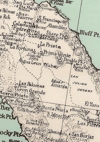
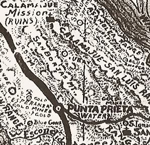
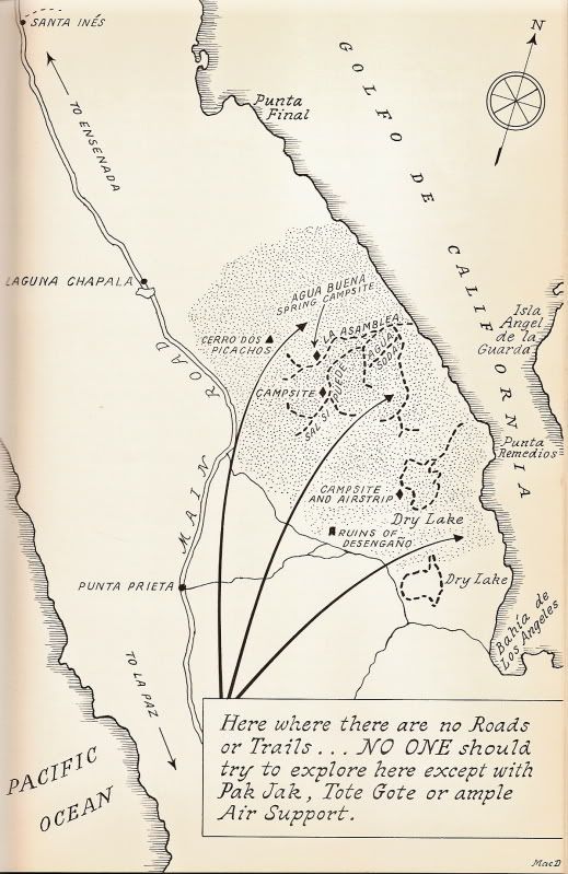
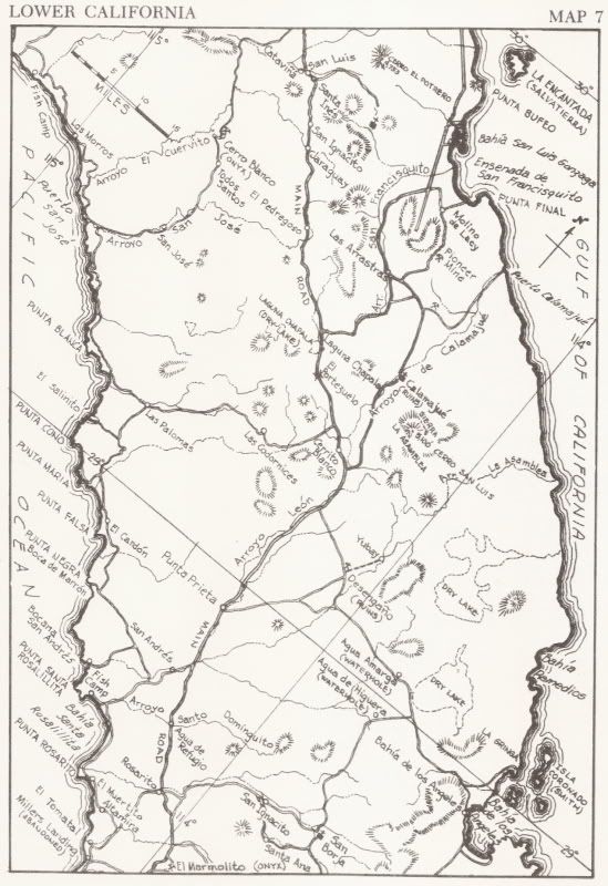
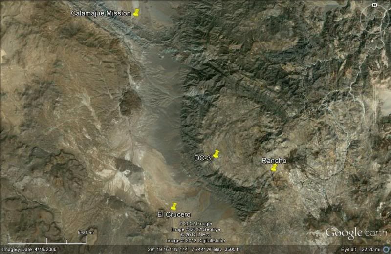
CALAMAJUE SOUTH:
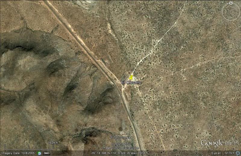
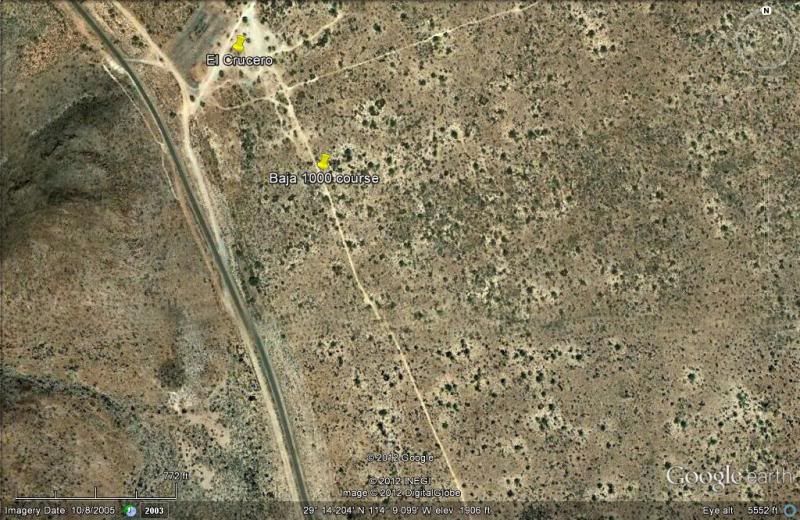
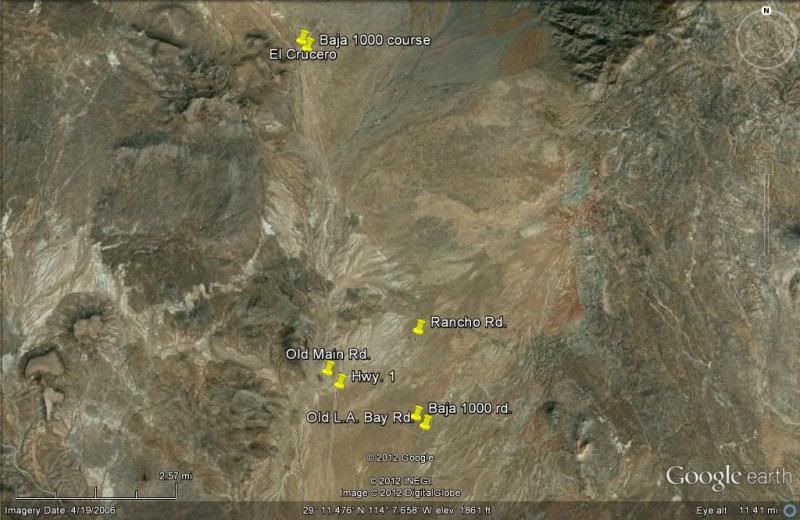
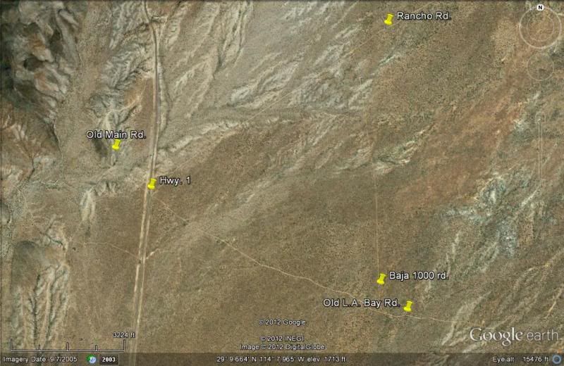
When you come to Hwy. 1 at El Crucero, take the left fork about 300 meters/ yards before the highway... this is the Baja 1000 course that parallels
Hwy. 1 until it reaches the old L.A. Bay road (via Desengaño), where you turn left for L.A. Bay. You reach the L.A. Bay highway in Arroyo Yubay (that
giant dip)... then get on the pavement for the last 30 miles to L.A. Bay... Or, get more creative and find the older road which is parallel to the new
post-1974 one. |


 [/URL][/IMG]


