Originally posted by larryC
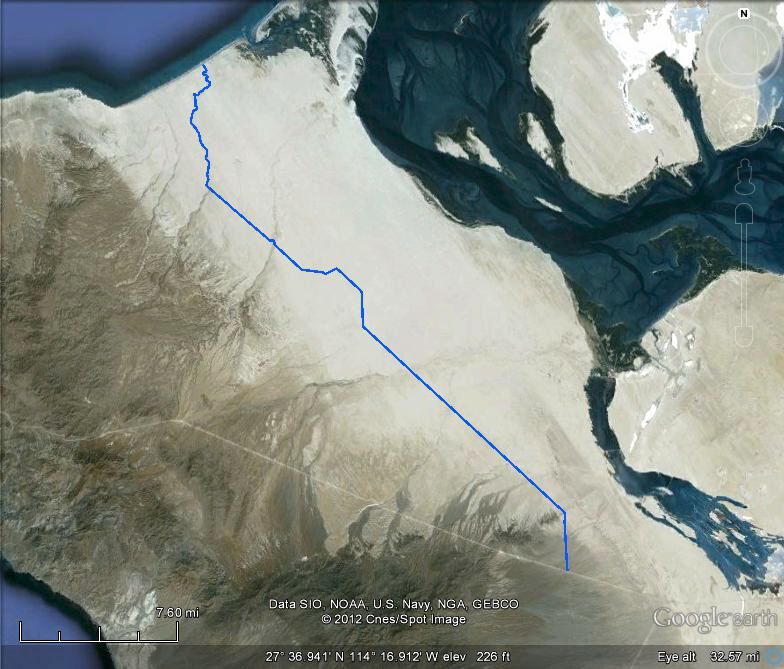
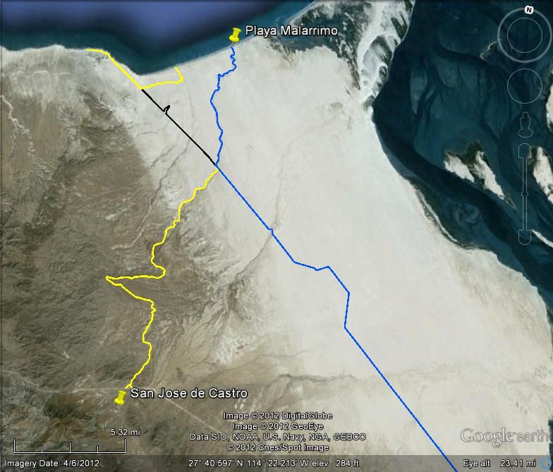
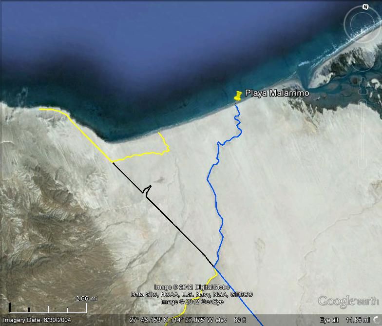
For what it is worth, I was in there last June, on the castro ranch road. That arroyo is really beautiful. I made it in and out in 2wd. My truck is
4wd but I never needed it. Things may have changed by now. If, when you get to the beach, you drive west on the beach about 4 miles there is another
arroyo and if you drive up there you will meet up with the road that goes to the west along the coast through the malirimo fish camp and on to punta
euginia. You will most likely need 4wd for that trip.
Hope you make it this time.
Larry
PS If you need to replenish you fresh water supply, stop when you get to the aquaduct pipe, walk up the hill to the west and at the top there is a
riser and a valve handle. Open it and get some water. |