Originally posted by David K
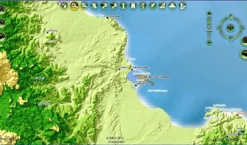
Here is Gonzaga Bay area... haven't figured out how to add any more data (roads, arroyos, etc.):
Shell Island/ Bahia Santa Maria area:
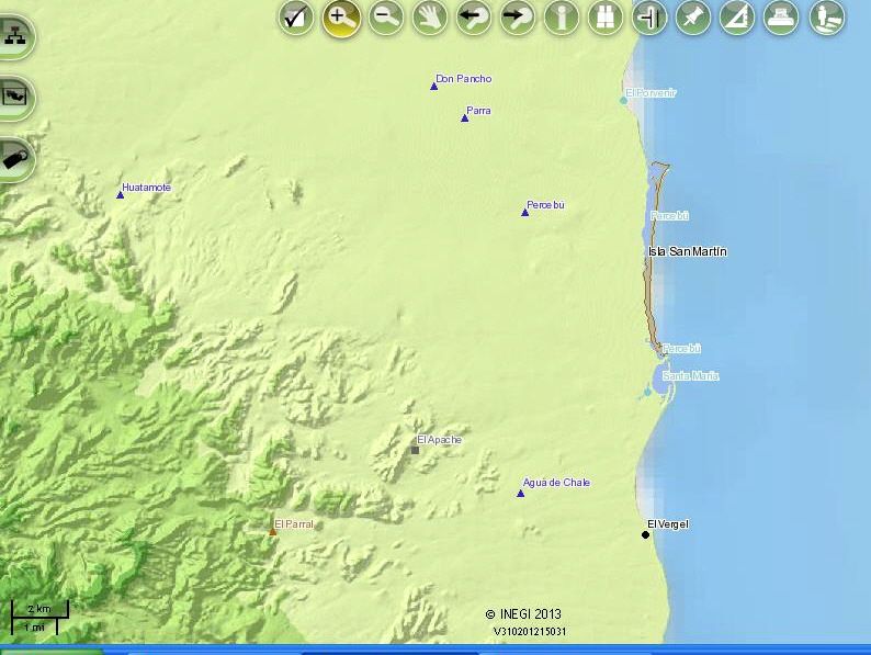
There was once a campo across the lagoon from the island called 'Isla San Martin', about a mile south of Percebu. It will always be Isla de las
Conchas to me 
[Edited on 2-21-2013 by David K] |
